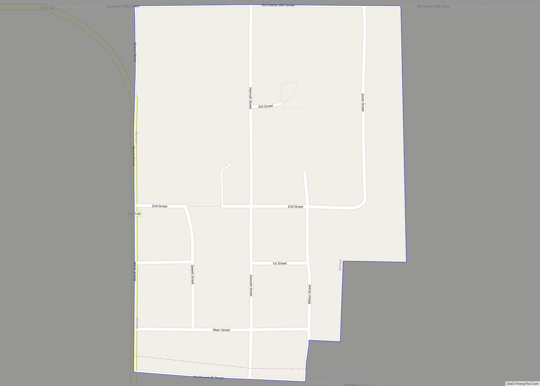
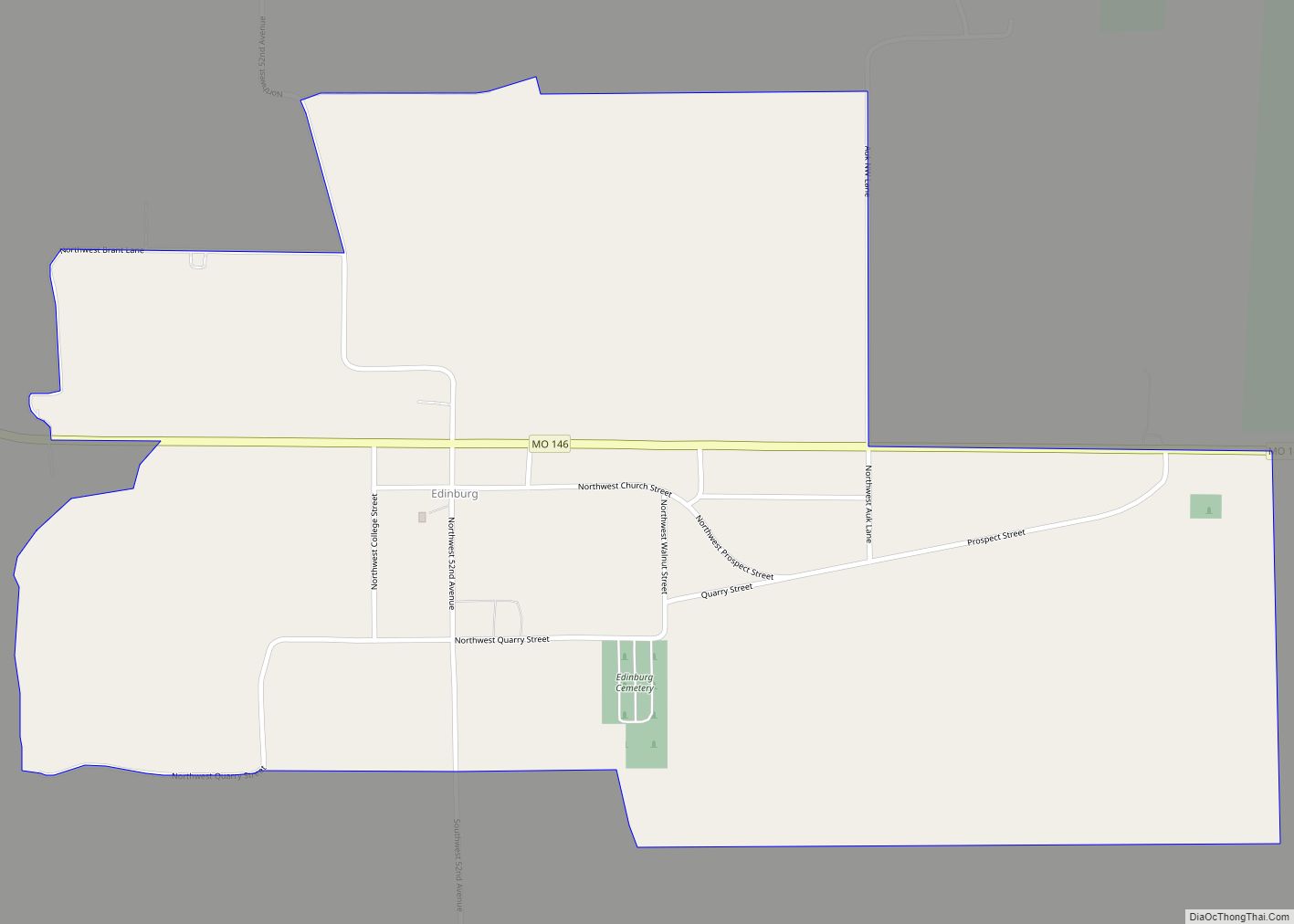
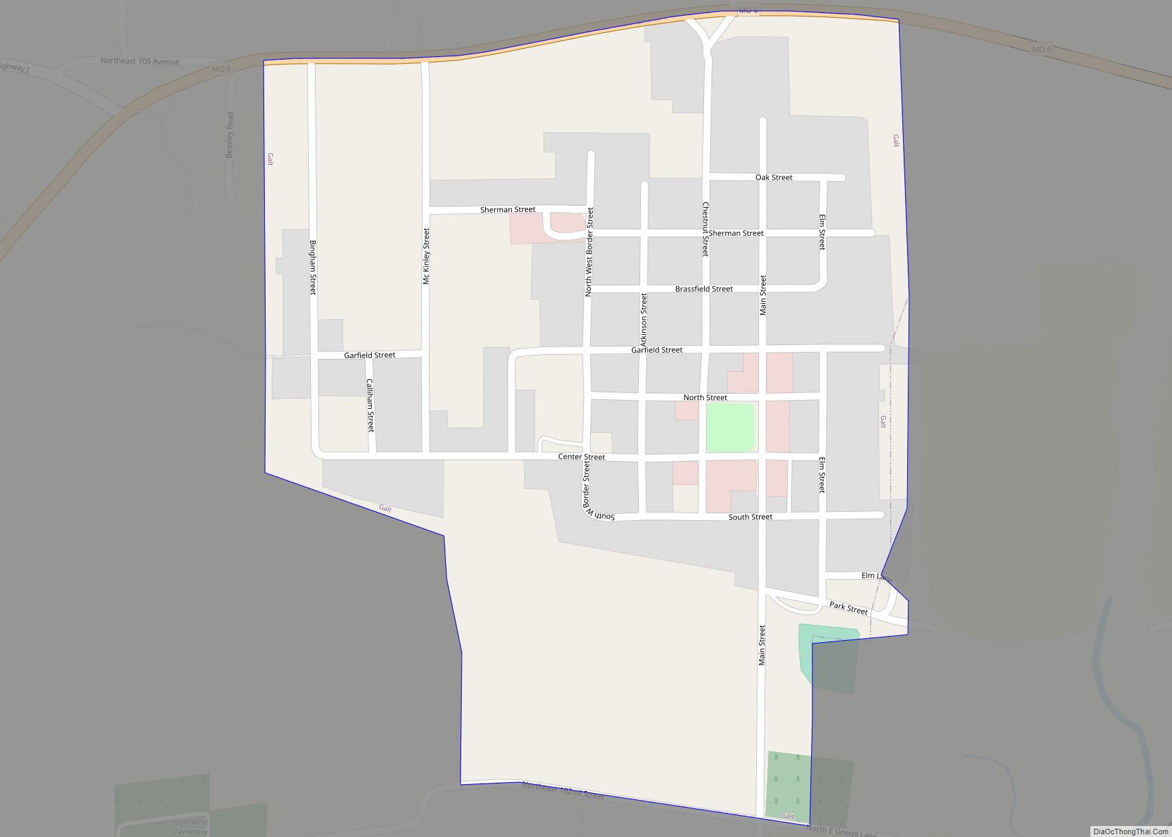
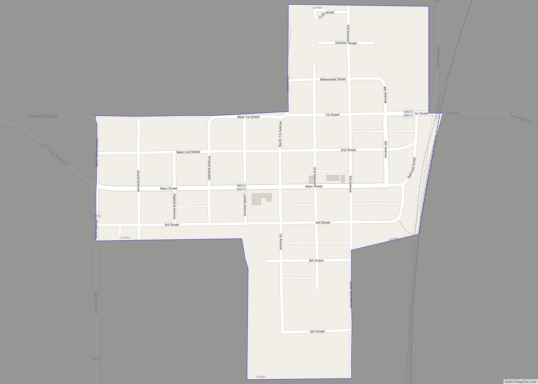
Grundy County is a county located in the U.S. state of Missouri. As of the 2020 census, the population was 9,808. Its county seat is Trenton. The county was organized January 2, 1841, from part of Livingston County, Missouri and named after U.S. Attorney General Felix Grundy.
| Name: | Grundy County |
|---|---|
| FIPS code: | 29-079 |
| State: | Missouri |
| Founded: | January 2, 1841 |
| Named for: | Felix Grundy |
| Seat: | Trenton |
| Largest city: | Trenton |
| Total Area: | 438 sq mi (1,130 km²) |
| Land Area: | 435 sq mi (1,130 km²) |
| Total Population: | 9,808 |
| Population Density: | 22/sq mi (8.6/km²) |
| Time zone: | UTC−6 (Central) |
| Summer Time Zone (DST): | UTC−5 (CDT) |
| Website: | www.grundycountymo.com |
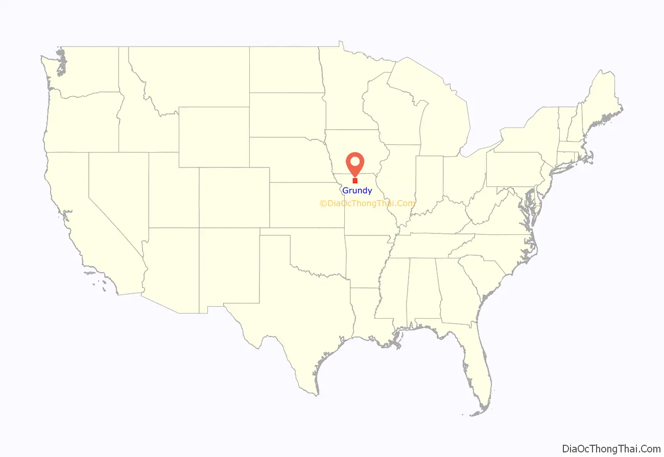
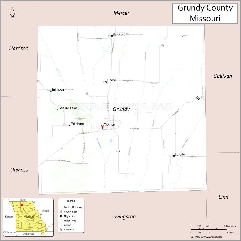
Grundy County location map. Where is Grundy County?
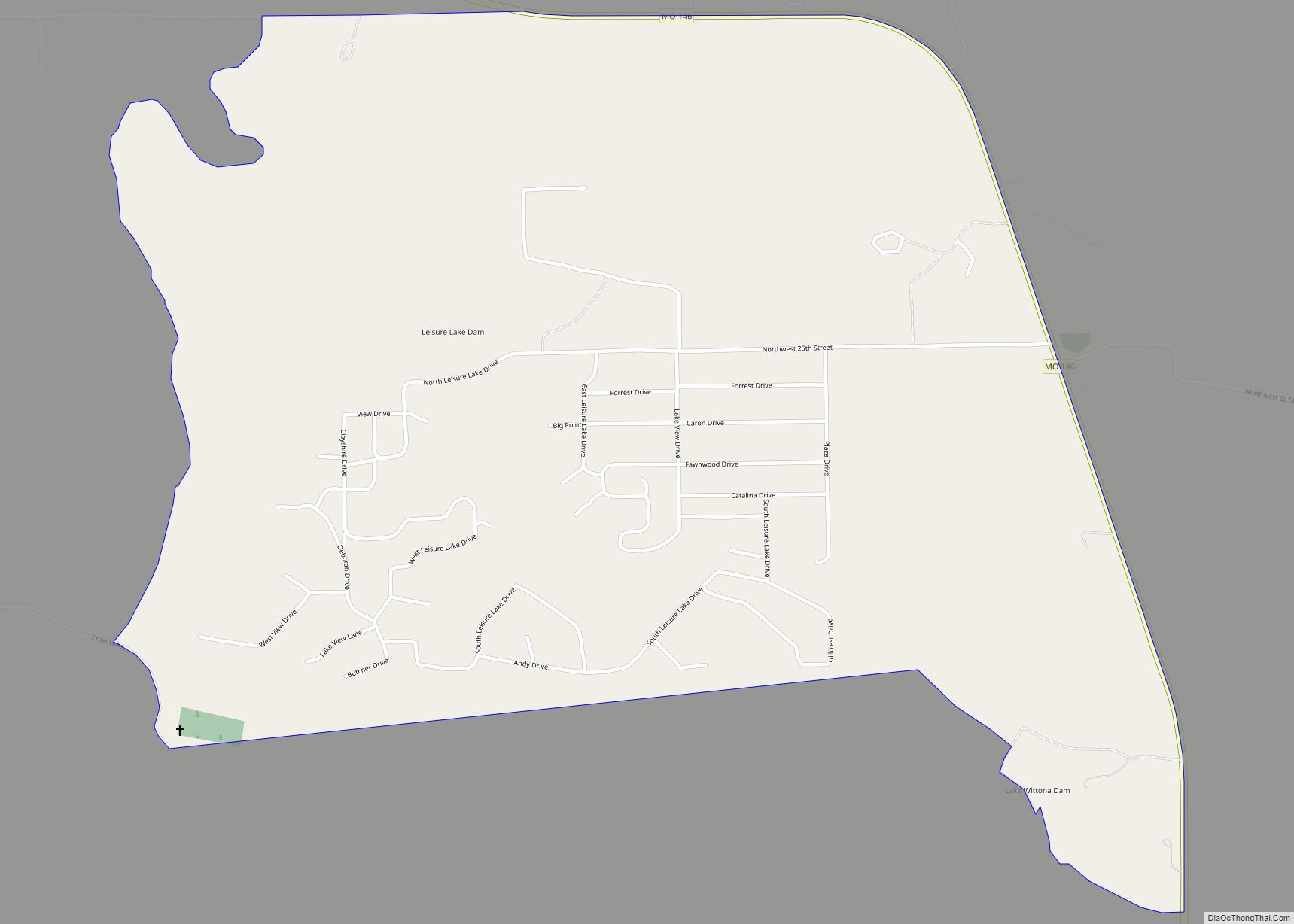
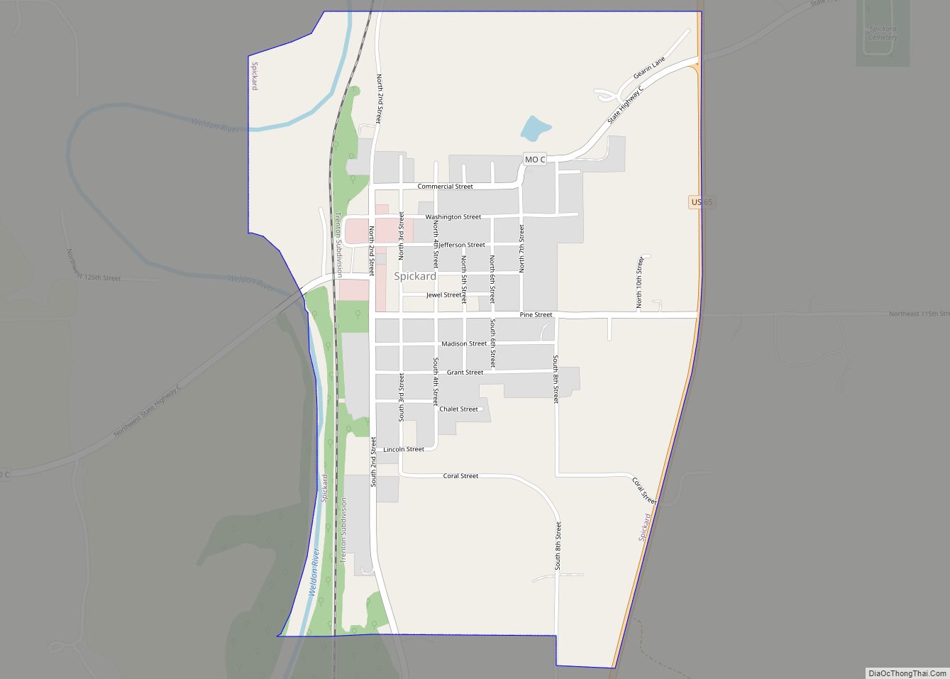
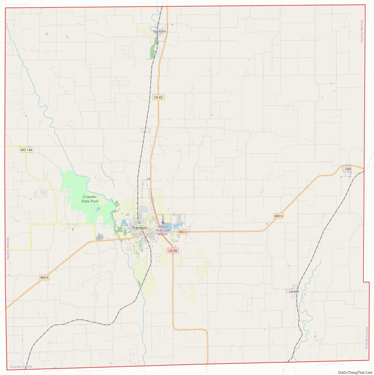
Grundy County Road Map
Geography
According to the U.S. Census Bureau, the county has a total area of 438 square miles (1,130 km), of which 435 square miles (1,130 km) is land and 2.8 square miles (7.3 km) (0.6%) is water.
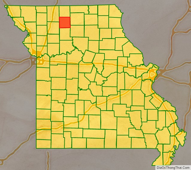
Adjacent counties
- Mercer County (north)
- Sullivan County (east)
- Linn County (southeast)
- Livingston County (south)
- Daviess County (southwest)
- Harrison County (northwest)
Major highways
- U.S. Route 65
- Route 6
- Route 146
- Route 190
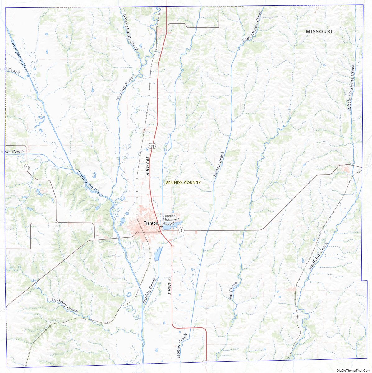
Grundy County Topographic Map
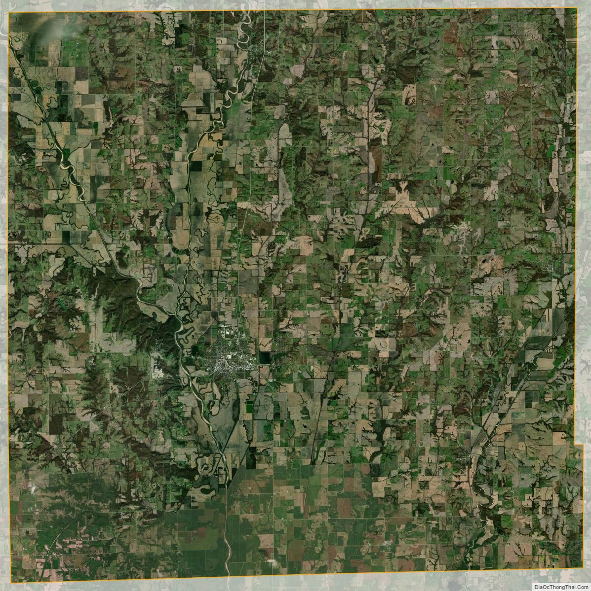
Grundy County Satellite Map
Grundy County Outline Map