Sullivan County is a county located in the northern portion of the U.S. state of Missouri. As of the 2020 census, the population was 5,999. Its county seat is Milan. The county was organized February 14, 1845 and named for Major General John Sullivan of the American Revolutionary War.
| Name: | Sullivan County |
|---|---|
| FIPS code: | 29-211 |
| State: | Missouri |
| Founded: | 1843 (created) 1845 (organized) |
| Named for: | John Sullivan |
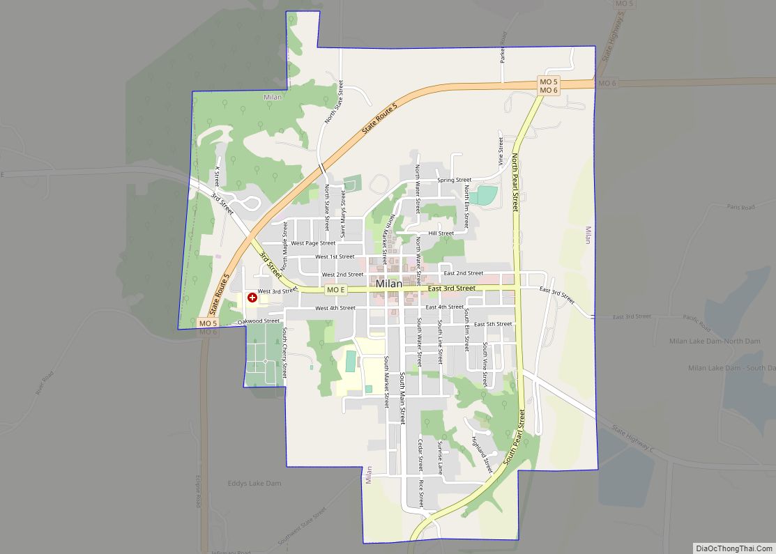
| Seat: | Milan |
| Largest city: | Milan |
| Total Area: | 652 sq mi (1,690 km²) |
| Land Area: | 648 sq mi (1,680 km²) |
| Total Population: | 5,999 |
| Population Density: | 9.2/sq mi (3.6/km²) |
| Time zone: | UTC−6 (Central) |
| Summer Time Zone (DST): | UTC−5 (CDT) |
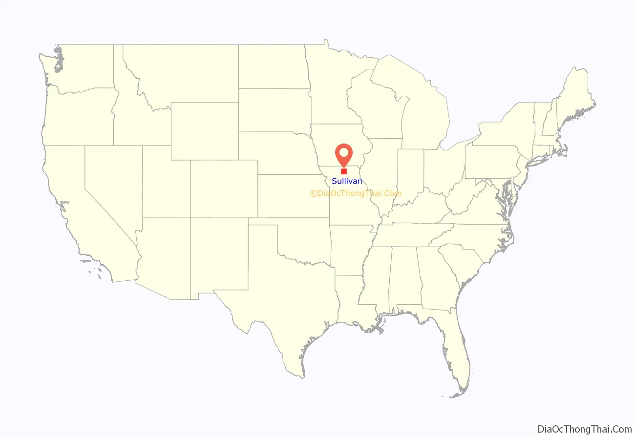
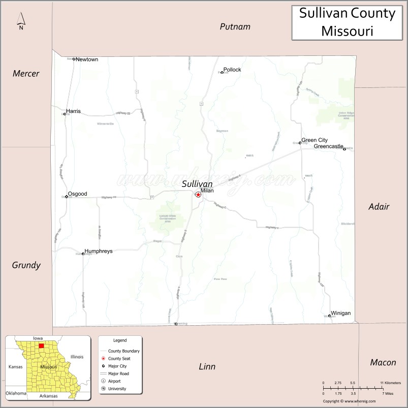
Sullivan County location map. Where is Sullivan County?
History
In 1682, René-Robert Cavelier, Sieur de la Salle claimed the territory west of the Mississippi River for France, which included present-day Sullivan County. The United States acquired this region under terms of the Louisiana Purchase on July 4, 1803. Twenty-one years later, the Sac (Sauk), Meskwaki (Fox), and Iowa Native American nations ceded their tribal land to the U.S. government under two treaties in August 1824.
Dr. Jacob Holland and his son, Robert W. Holland, arrived in 1836, becoming the county’s first permanent White settlers. Dr. Holland, a veteran of the Black Hawk War and practitioner of herbal medicine, and son staked their home sites at the Main Locust Creek Settlement near a place called Scottsville. American pioneers from Ohio, Illinois, Kentucky, Tennessee, and Virginia quickly followed them and established farms and small businesses at Pharsalia (Milan) Settlement, Yellow Creek Settlement, and Jackson’s Corners (Jacksonville) by 1840.
The Missouri state legislature defined the boundaries of the county from Chariton County during the 1842–1843 legislative session, and first named it Highland County. However, the number of permanent settlers did not meet requirements for civil governance and military purposes, so legislators attached administration of Highland County to Linn County. A new survey of the county in 1844 determined that the population was sufficient to permit full organization. E.M.C. Morelock, a representative from Highland County, presented an act to the state legislature, which they approved on February 14, 1845, and the county became formally organized. By the same act, it was renamed Sullivan County in honor of John Sullivan, a major general in the Continental Army during the American Revolutionary War.
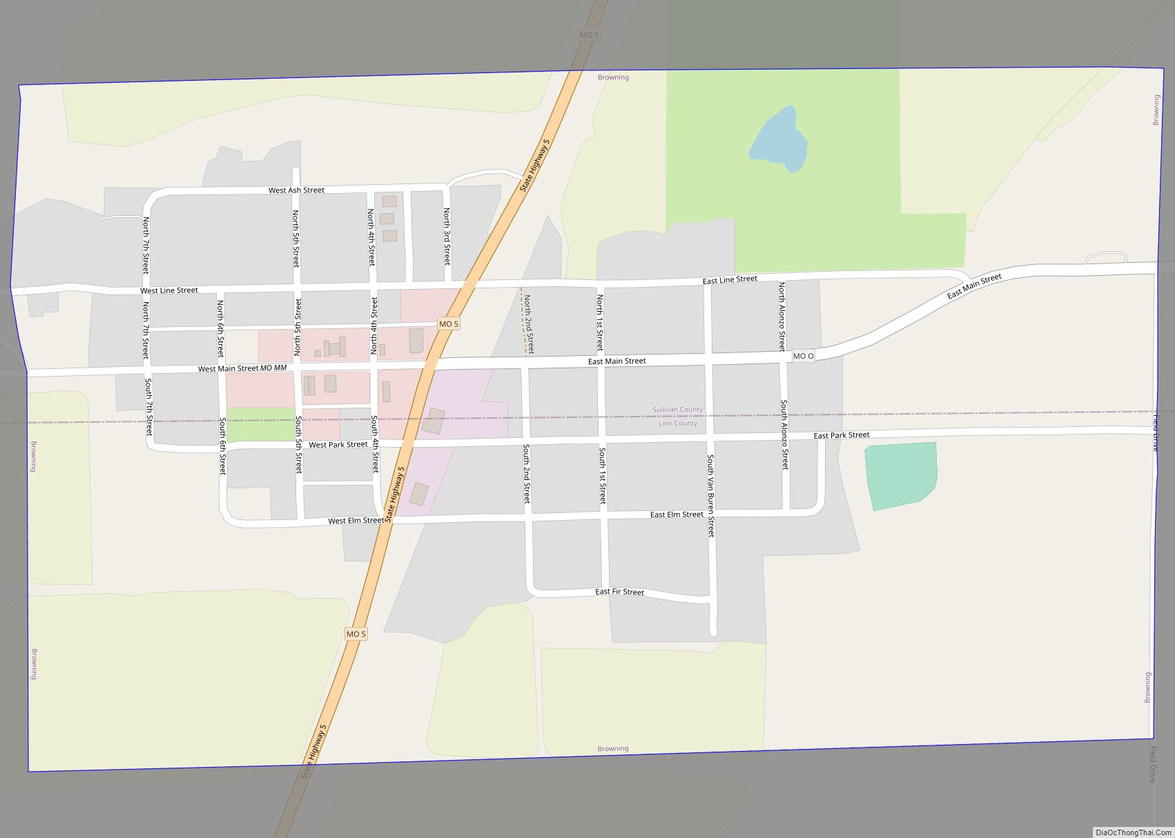
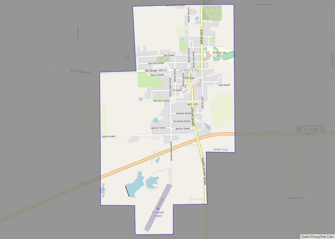
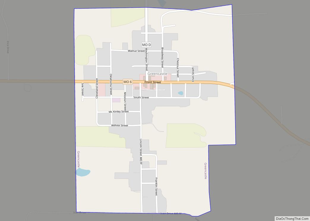
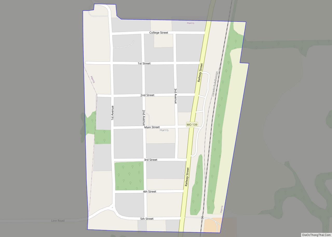
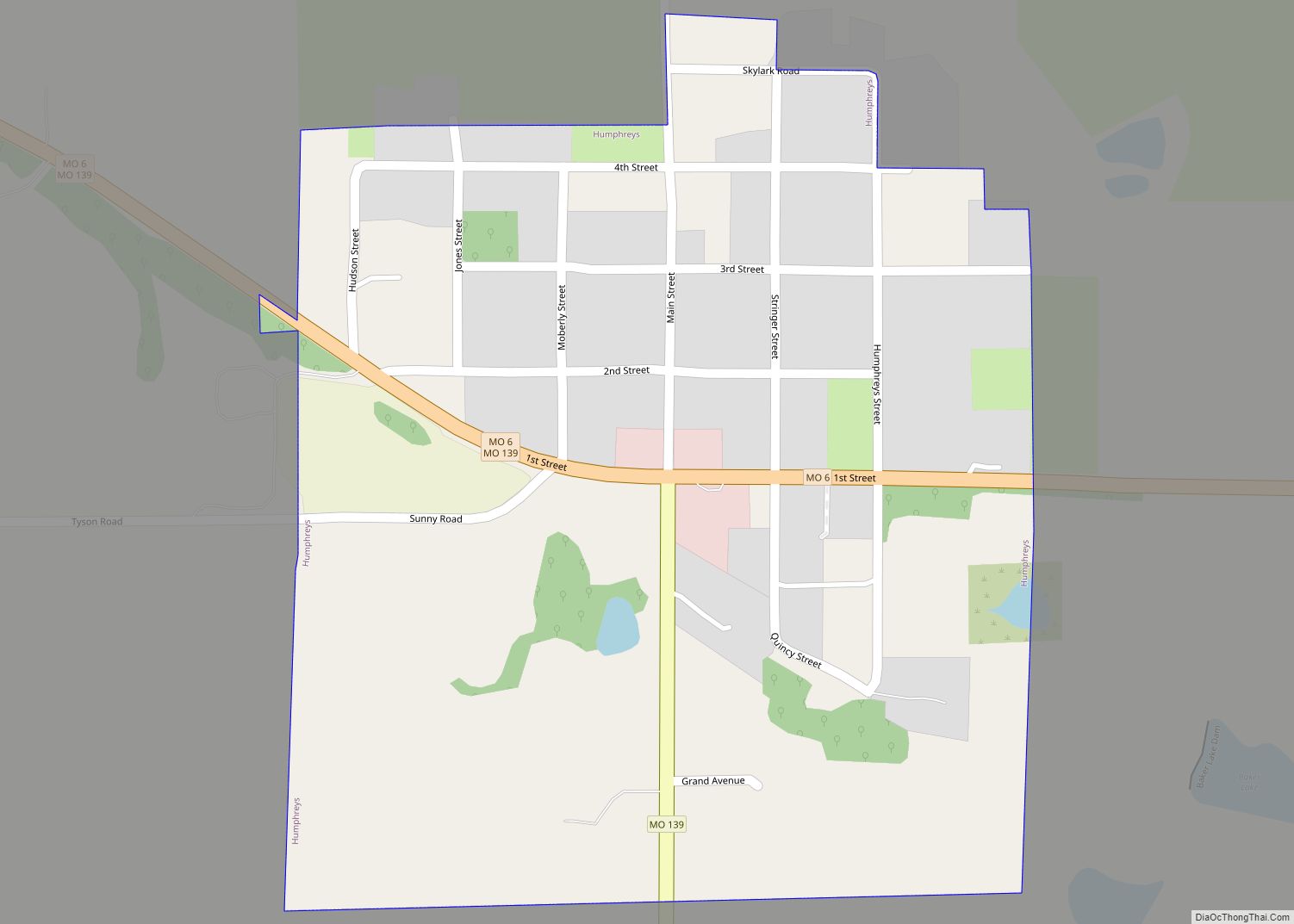
Settlers established the town of Milan (pronounced MY-lun) in 1845, located at the center of the county, where the first courts met. William Putnam built the first courthouse, which was occupied in October 1847. Ten years later, residents leveled an Indian mound in the middle of town to make the public square and Major John McCollough built the second courthouse, the first brick structure in Milan, on this site during 1857–1858. (This courthouse was destroyed by fire in 1908 and it was not until 1938 that it was replaced by the three-story limestone building that stands today.) The last federal land office established in Missouri also operated from the square from 1849 to 1859. The state legislature officially incorporated the city of Milan on February 8, 1859. Other towns platted in the county’s early years included Greencastle (1857), Newtown (1858), Pollock (1873), Boynton and Cora (1877), Green City and Winigan (1880), Humphreys and Reger (1881), Osgood (1886), and Harris (1887). Green City College opened in 1885, and a business institute opened in Humphreys in 1884.
During the U.S. Civil War (1861–1865), a Union Army post stood in Milan. The Union cause was supported by four Union volunteer infantry regiments, two Union cavalry volunteer regiments, two Missouri Militia units, one provisional militia unit, and a large unit of Sullivan County Home Guards. The Confederate side was supported by four units of Missouri State Guard infantrymen. Soldiers from Sullivan County fought at the Battle of Shiloh, Battle of Atlanta, Battle of Jonesborough, and other major engagements throughout the war. Military skirmishes within the county were mostly confined to bushwhackers.
Expansion of the railroads brought growth to Sullivan County beginning in the 1870s. The C., B. & K.C. (Chicago, Burlington and Kansas City Railway) built a line running north to south through the county in 1876, which was followed by construction of the Quincy, Missouri & Pacific Railway line east to west through the county from 1878 to 1881. The two lines crossed in Milan, which became a major shipping point. The Chicago, Milwaukee & St. Paul Railway soon built a north–south line along Medicine Creek the length of the western edge of the county that served the towns of Newtown and Harris, which continues to be active today. (All three railroads eventually merged into the Chicago, Burlington and Quincy Railroad.)
By 1900, following the railroad construction boom, the county’s population exceeded 20,000. However, business activity and the number of residents declined steadily during the subsequent decades. The number of farms decreased from about 3,100 in 1900 to under 900 by 1982, but over the same time period, the size of farms increased from about 130 acres to 385 acres. The county primarily remains rural agricultural land today, planted in corn and grains with family operated poultry, livestock, and dairy farms. One medium size manufacturer in Milan employs about 750 people.
Sullivan County Road Map
Geography
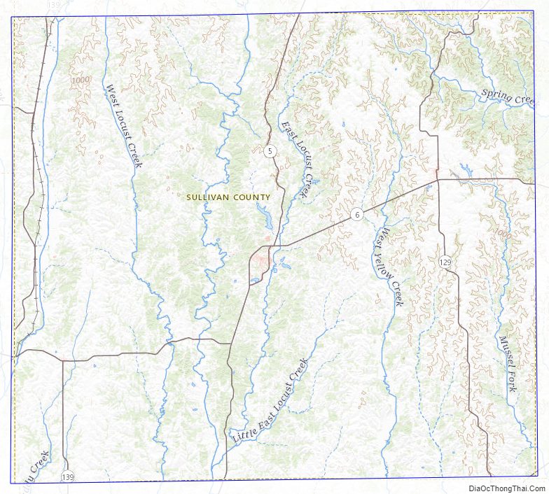
According to the U.S. Census Bureau, the county has a total area of 652 square miles (1,690 km), of which 648 square miles (1,680 km) is land and 3.5 square miles (9.1 km) (0.5%) is water.
The main water courses in Sullivan County are Medicine, Locust, East Locust, Yellow, and Spring Creeks. The highest point in the county, about 1,060 feet (320 m) above sea level, is on the primary divide between the Chariton River and Grand River drainage basins along its northern border shared with Putnam County northwest of Green City. The lowest point, about 740 feet (230 m) above sea level, is where Locust Creek flows out of the county on its southern border with Linn County, near the town of Browning.
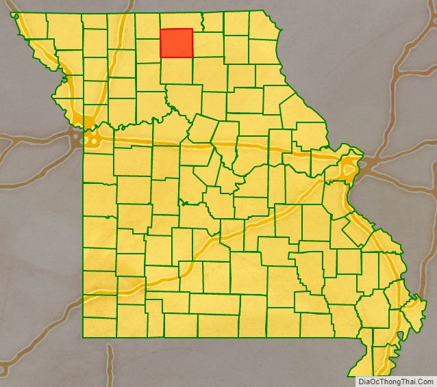
Adjacent counties
- Putnam County (north)
- Adair County (east)
- Linn County (south)
- Grundy County (southwest)
- Mercer County (northwest)
Major highways
- Route 5
- Route 6
- Route 129
- Route 139
Sullivan County Topographic Map
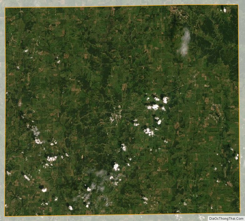
Sullivan County Satellite Map
Sullivan County Outline Map