Weldon is a town in Halifax County, North Carolina, United States. The population was 1,655 at the 2010 census. It is part of the Roanoke Rapids, North Carolina Micropolitan Statistical Area.
| Name: | Weldon town |
|---|---|
| LSAD Code: | 43 |
| LSAD Description: | town (suffix) |
| State: | North Carolina |
| County: | Halifax County |
| Elevation: | 72 ft (22 m) |
| Total Area: | 2.92 sq mi (7.55 km²) |
| Land Area: | 2.92 sq mi (7.55 km²) |
| Water Area: | 0.00 sq mi (0.00 km²) |
| Total Population: | 1,444 |
| Population Density: | 495.20/sq mi (191.20/km²) |
| ZIP code: | 27890 |
| Area code: | 252 |
| FIPS code: | 3771780 |
| GNISfeature ID: | 1023152 |
| Website: | www.historicweldonnc.com |
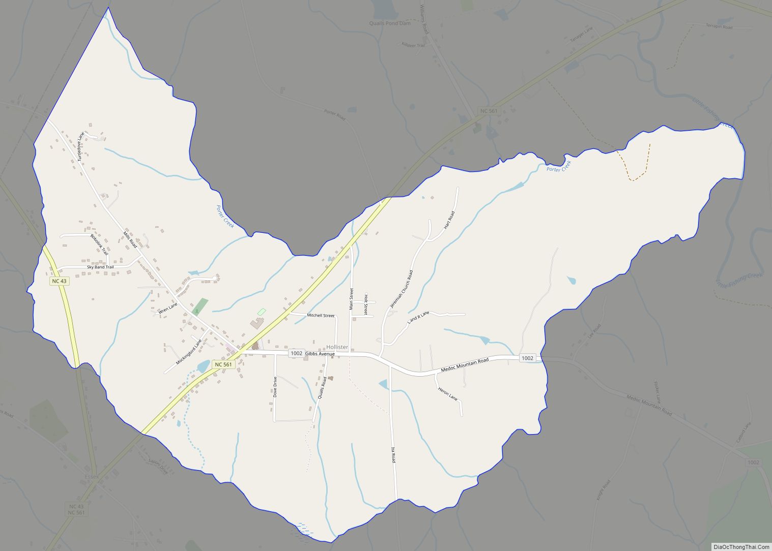
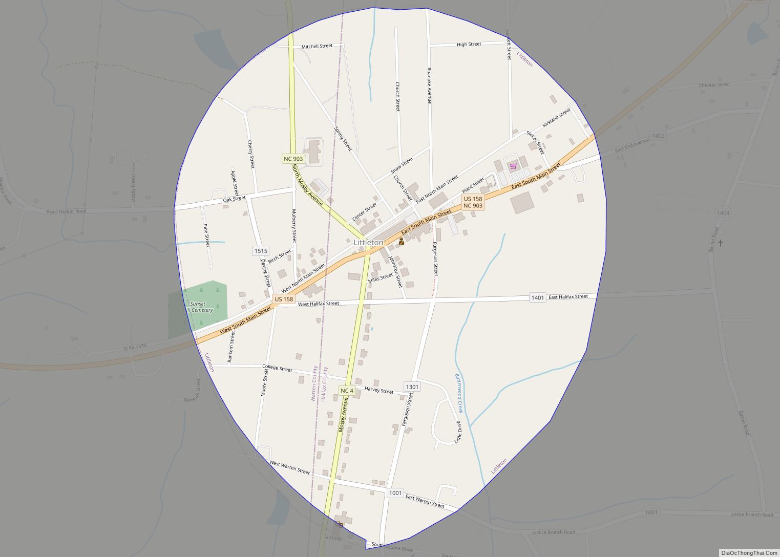
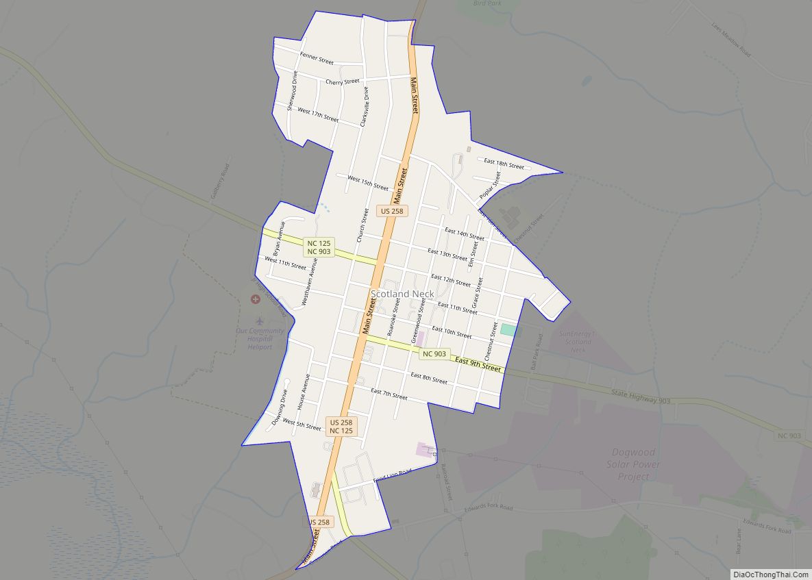
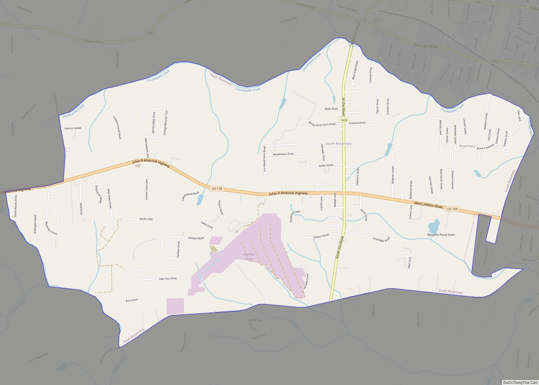
Online Interactive Map
Click on ![]() to view map in "full screen" mode.
to view map in "full screen" mode.
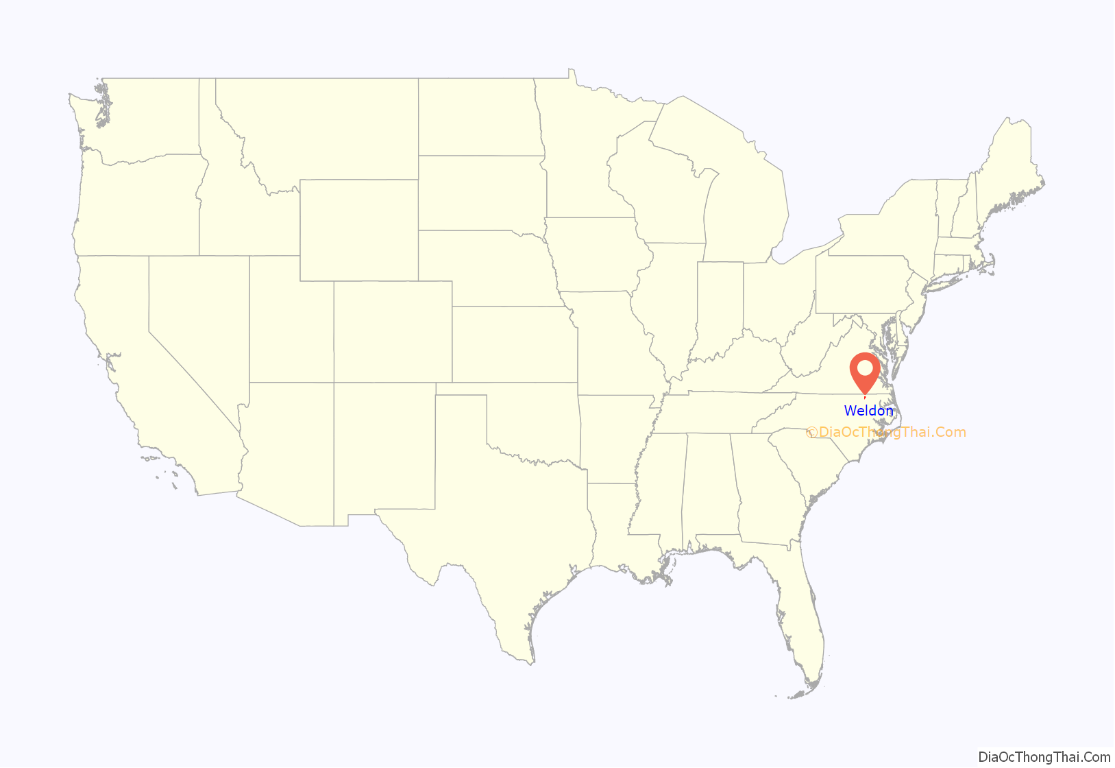
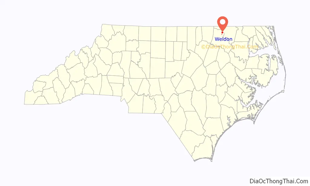
Weldon location map. Where is Weldon town?
History
In 1752, Daniel Weldon purchased 1,273 acres of land on the Roanoke River. His plantation became known as Weldon’s Landing. As it was just below the fall line, Weldon’s Landing was the westernmost point of navigation along the Roanoke.
The Roanoke Canal was built in 1823 to bypass the rapids and open up trade to Virginia. The aqueduct across Chockoyotte creek was built near Weldon’s Landing, bringing an economic boom to the area. The canal is now dry, and is a hiking trail open to the public.
Weldon was the first railroad hub in the American South. The Seaboard and Roanoke Railroad terminated in Weldon. In 1841, the Wilmington and Weldon Railroad was completed, also terminating in Weldon. At the time, it was the longest railroad in the world. This led to the incorporation of the town in 1843.
The Petersburg and Roanoke Railroad in 1848 and the Raleigh and Gaston Railroad in 1853 both extended to terminate in Weldon.
During the Civil War, both railroad bridges over the Roanoke were burned. Only the Seaboard and Roanoke rebuilt their bridge.
Grace Episcopal Church and the Weldon Historic District are listed on the National Register of Historic Places.
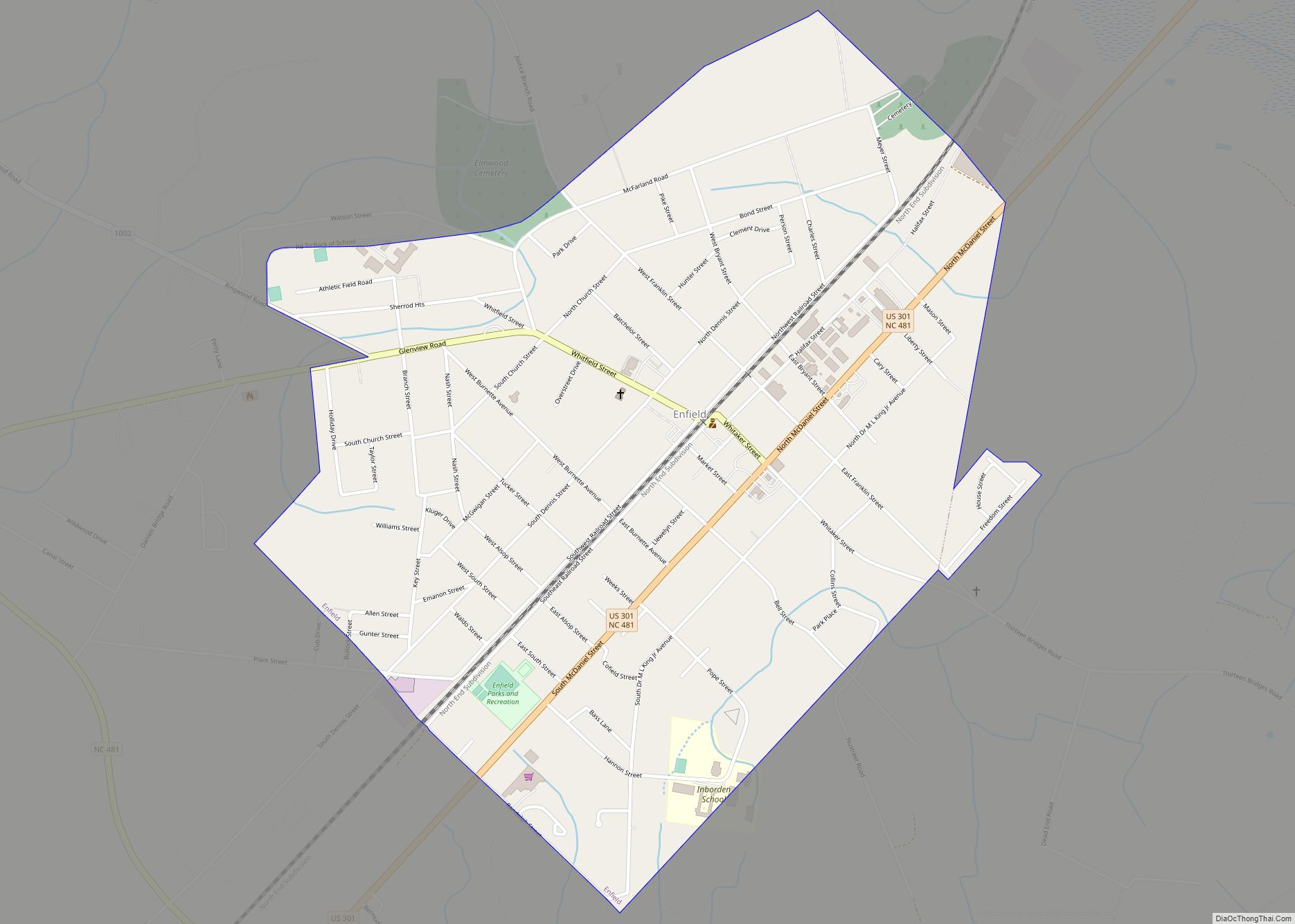
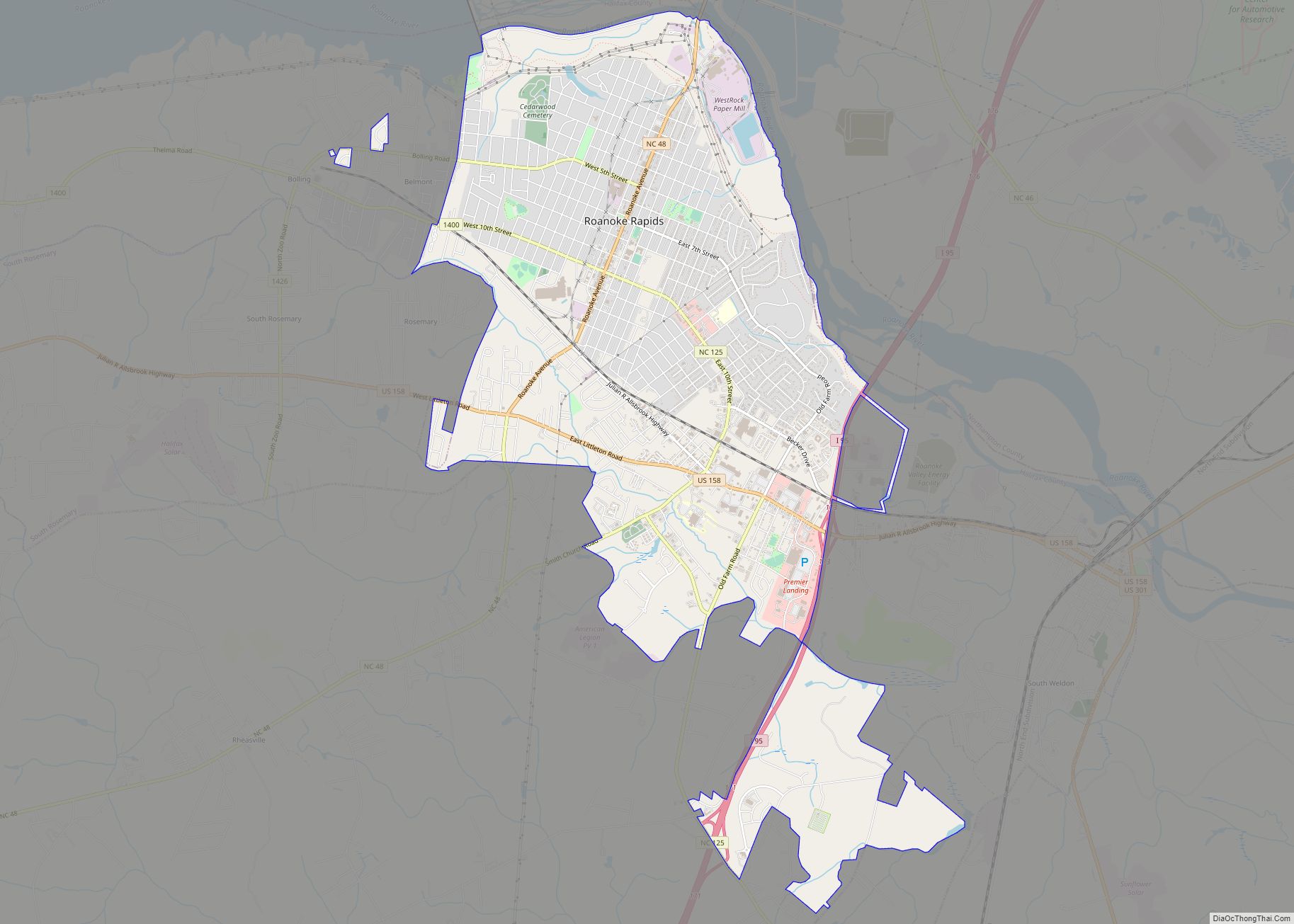
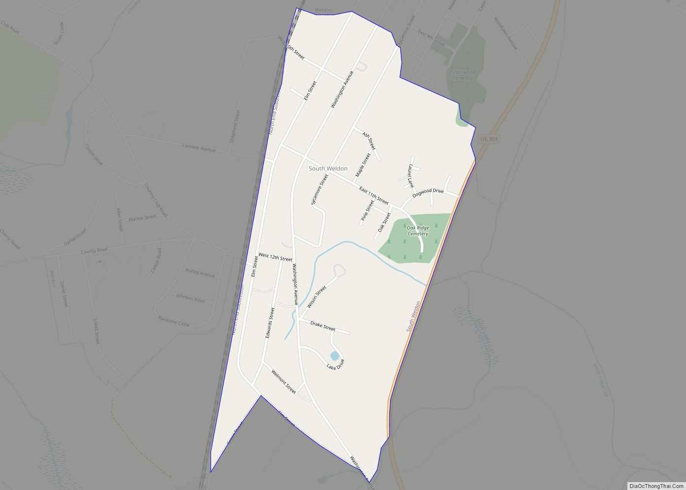
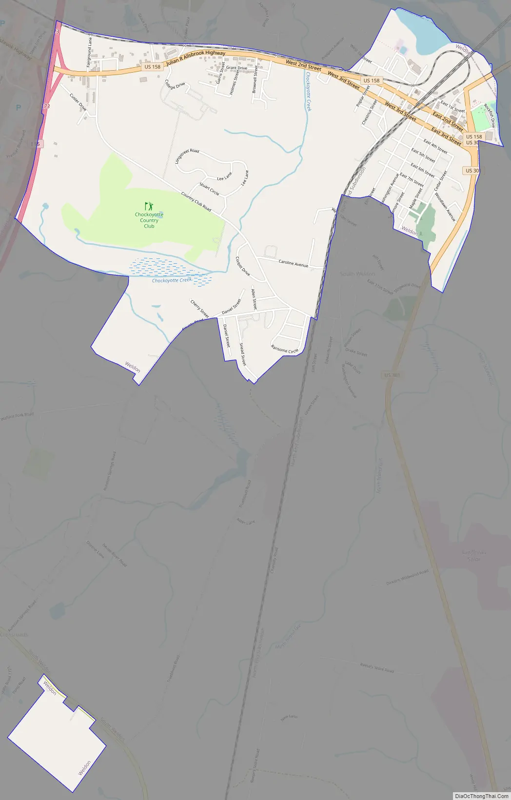
Weldon Road Map
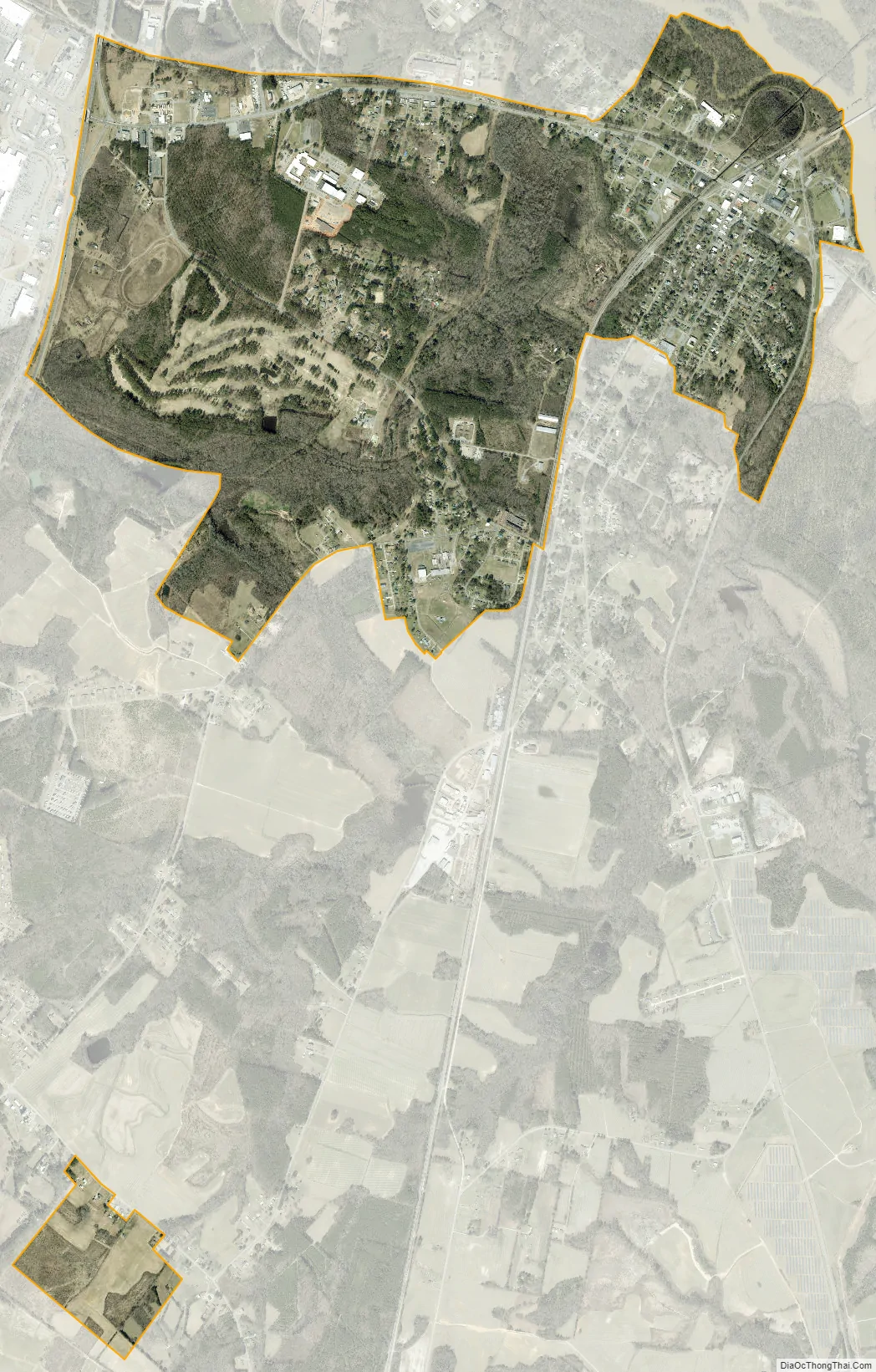
Weldon city Satellite Map
Geography
Weldon is located in northern Halifax County at 36°25′36″N 77°36′6″W / 36.42667°N 77.60167°W / 36.42667; -77.60167 (36.426567, -77.601597). It is bordered to the west by Roanoke Rapids, the county’s largest community, and to the north by Northampton County, across the Roanoke River. According to the United States Census Bureau, the town has a total area of 2.9 square miles (7.4 km), all land.
U.S. Route 301 passes through the town, leading south 38 miles (61 km) to Rocky Mount and north 19 miles (31 km) to Emporia, Virginia. U.S. Route 158 runs east–west through the town, connecting the downtown area with Interstate 95 at the town’s western border. US 158 leads east 29 miles (47 km) to Murfreesboro and west 4 miles (6 km) into the southern part of Roanoke Rapids. Interstate 95 leads north to Emporia and south to Rocky Mount, providing a highway alternative to US 301.
Located on the Roanoke River, Weldon calls itself the “Rockfish Capital of the World” due to abundant fishing during the May spawning season.
See also
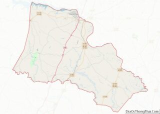
Map of North Carolina State and its subdivision:- Alamance
- Alexander
- Alleghany
- Anson
- Ashe
- Avery
- Beaufort
- Bertie
- Bladen
- Brunswick
- Buncombe
- Burke
- Cabarrus
- Caldwell
- Camden
- Carteret
- Caswell
- Catawba
- Chatham
- Cherokee
- Chowan
- Clay
- Cleveland
- Columbus
- Craven
- Cumberland
- Currituck
- Dare
- Davidson
- Davie
- Duplin
- Durham
- Edgecombe
- Forsyth
- Franklin
- Gaston
- Gates
- Graham
- Granville
- Greene
- Guilford
- Halifax
- Harnett
- Haywood
- Henderson
- Hertford
- Hoke
- Hyde
- Iredell
- Jackson
- Johnston
- Jones
- Lee
- Lenoir
- Lincoln
- Macon
- Madison
- Martin
- McDowell
- Mecklenburg
- Mitchell
- Montgomery
- Moore
- Nash
- New Hanover
- Northampton
- Onslow
- Orange
- Pamlico
- Pasquotank
- Pender
- Perquimans
- Person
- Pitt
- Polk
- Randolph
- Richmond
- Robeson
- Rockingham
- Rowan
- Rutherford
- Sampson
- Scotland
- Stanly
- Stokes
- Surry
- Swain
- Transylvania
- Tyrrell
- Union
- Vance
- Wake
- Warren
- Washington
- Watauga
- Wayne
- Wilkes
- Wilson
- Yadkin
- Yancey
- Alabama
- Alaska
- Arizona
- Arkansas
- California
- Colorado
- Connecticut
- Delaware
- District of Columbia
- Florida
- Georgia
- Hawaii
- Idaho
- Illinois
- Indiana
- Iowa
- Kansas
- Kentucky
- Louisiana
- Maine
- Maryland
- Massachusetts
- Michigan
- Minnesota
- Mississippi
- Missouri
- Montana
- Nebraska
- Nevada
- New Hampshire
- New Jersey
- New Mexico
- New York
- North Carolina
- North Dakota
- Ohio
- Oklahoma
- Oregon
- Pennsylvania
- Rhode Island
- South Carolina
- South Dakota
- Tennessee
- Texas
- Utah
- Vermont
- Virginia
- Washington
- West Virginia
- Wisconsin
- Wyoming