Flowery Branch is a city in Hall County, Georgia, United States. As of the 2020 census, the city had a population of 9,391. It is part of the Gainesville, Georgia metropolitan area, and lies on the shores of Lake Lanier.
| Name: | Flowery Branch city |
|---|---|
| LSAD Code: | 25 |
| LSAD Description: | city (suffix) |
| State: | Georgia |
| County: | Hall County |
| Elevation: | 1,175 ft (358 m) |
| Total Area: | 7.24 sq mi (18.74 km²) |
| Land Area: | 7.12 sq mi (18.44 km²) |
| Water Area: | 0.12 sq mi (0.30 km²) |
| Total Population: | 9,391 |
| Population Density: | 1,318.96/sq mi (509.22/km²) |
| ZIP code: | 30542 |
| Area code: | 770 |
| FIPS code: | 1330340 |
| GNISfeature ID: | 2403624 |
| Website: | www.flowerybranchga.org |
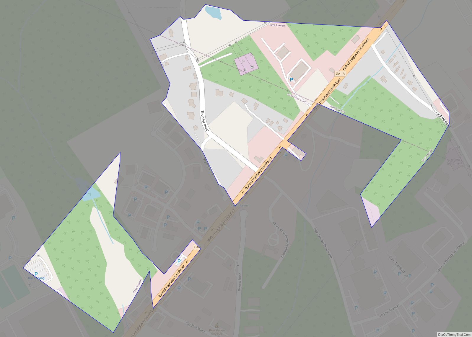
Online Interactive Map
Click on ![]() to view map in "full screen" mode.
to view map in "full screen" mode.
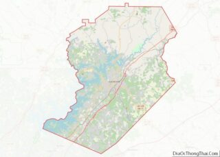
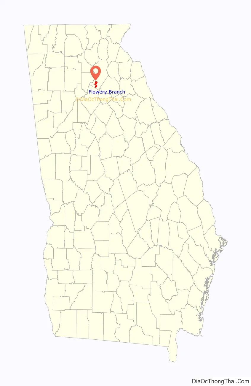
Flowery Branch location map. Where is Flowery Branch city?

History
Flowery Branch was established in 1874, one year after the Richmond and Danville Air-Line Railroad Railway System built a rail line through the city connecting Charlotte to Atlanta. The city hosts the Historic Caboose exhibit and the Historic Train Depot museum.
Flowery Branch was originally named Anaguluskee, a Cherokee Indian word meaning “flowers on the branch.” Other sources claim the original name was Nattagasska (“Blossom Creek”), which long-term residents recall as an alternative nickname for the town.
Andrew Jackson passed through Flowery Branch on his way to the First Seminole War in 1818. The historic Bowman-Pirkle House, built in 1818, was originally located on the border of Flowery Branch and Buford.
Part of the historic Old Federal Road is in Flowery Branch. It was an important route through northern Georgia in the early and mid-1800s. Its most obvious significance lay in four issues: the early history of Cherokee-U.S. social, economic, and cultural relations in the early 1800s, the eventual use of the Road as part of the Trail of Tears, use of the Road during the Georgia Gold Rush, and Union and Confederate use of the Road during the campaigns for Chickamauga in 1863 and Atlanta in 1864.
Ferdinand de Soto entered Hall County in March of 1540 in transit between Stone Mountain and the Conasauga River.
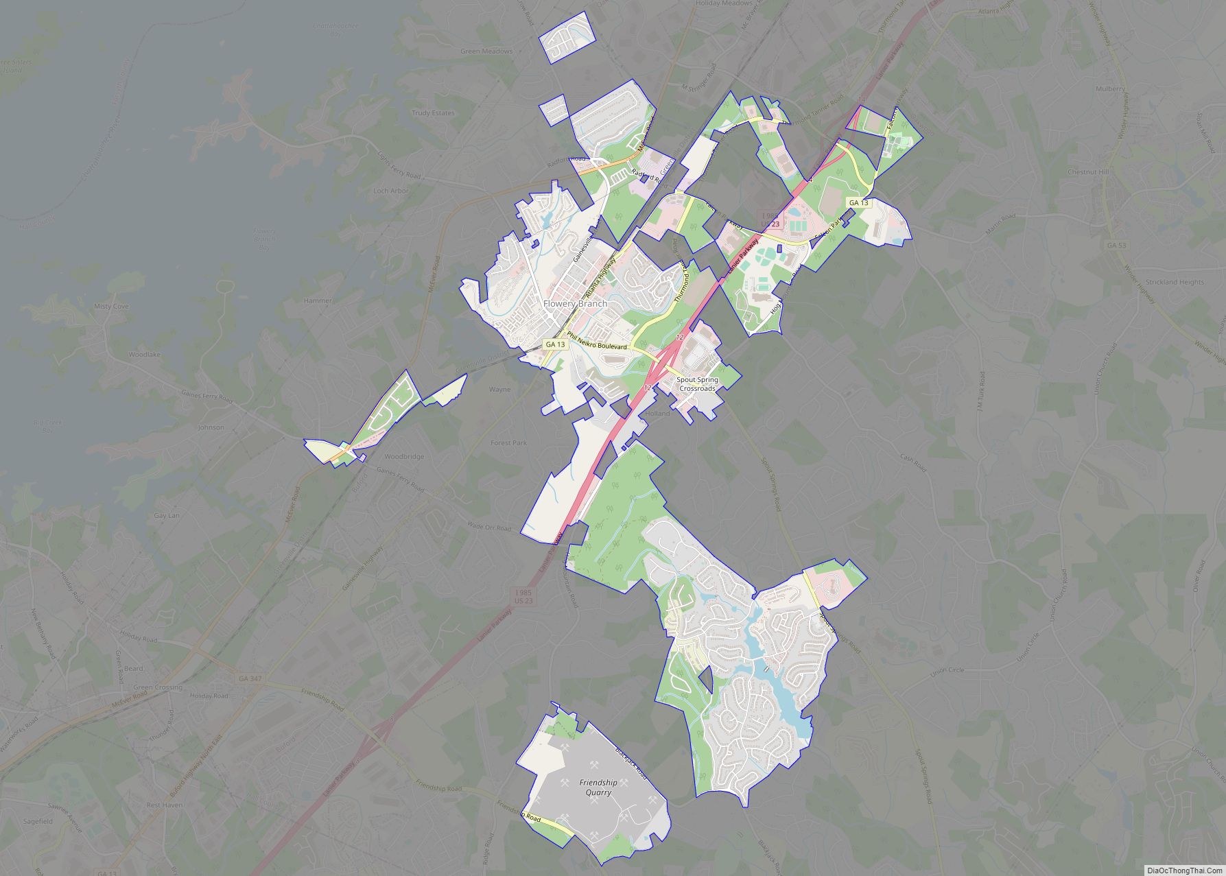
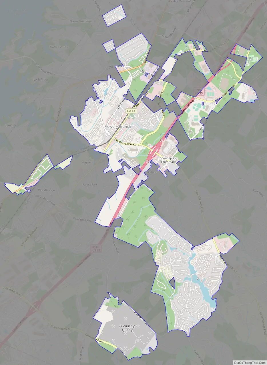
Flowery Branch Road Map
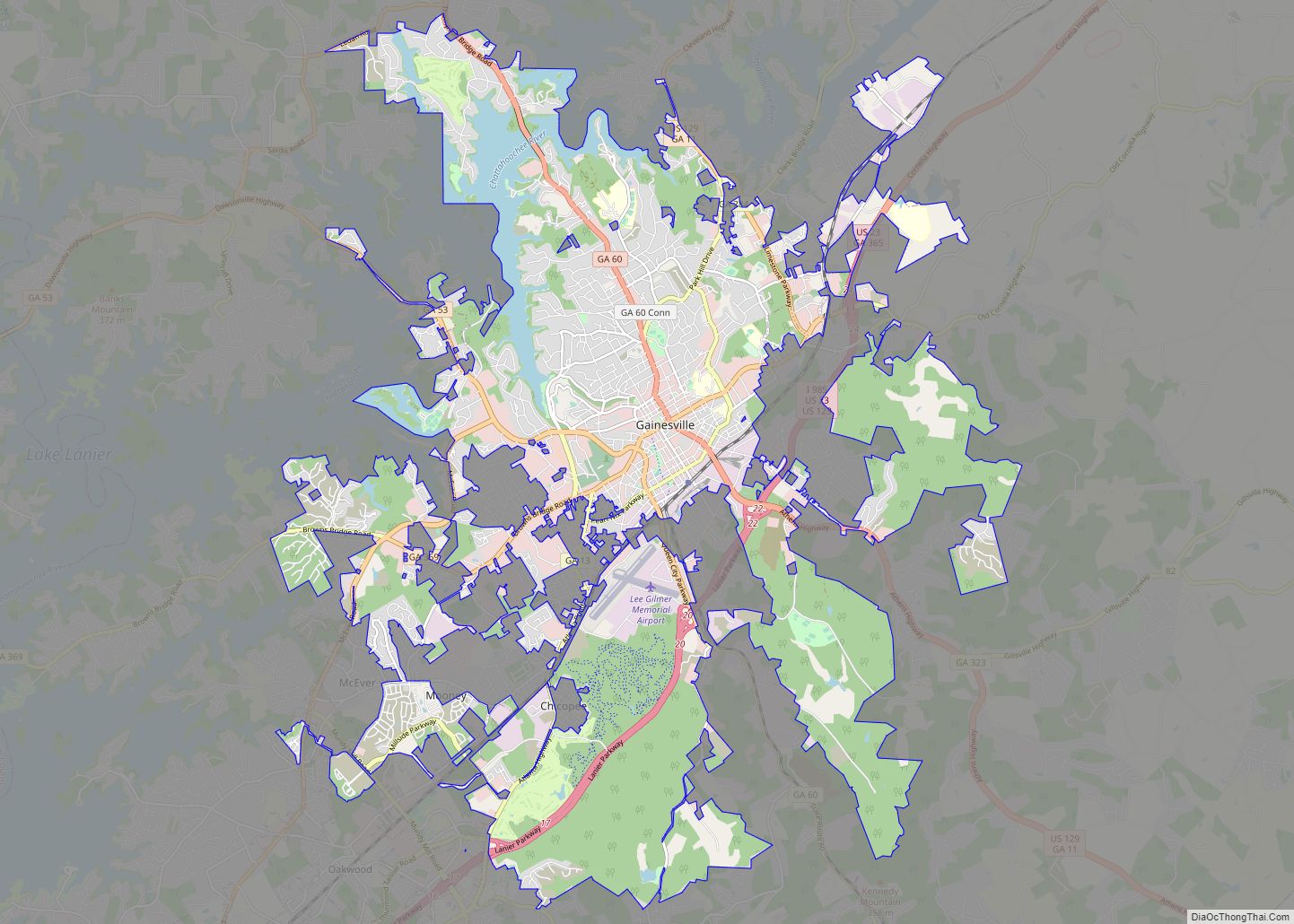
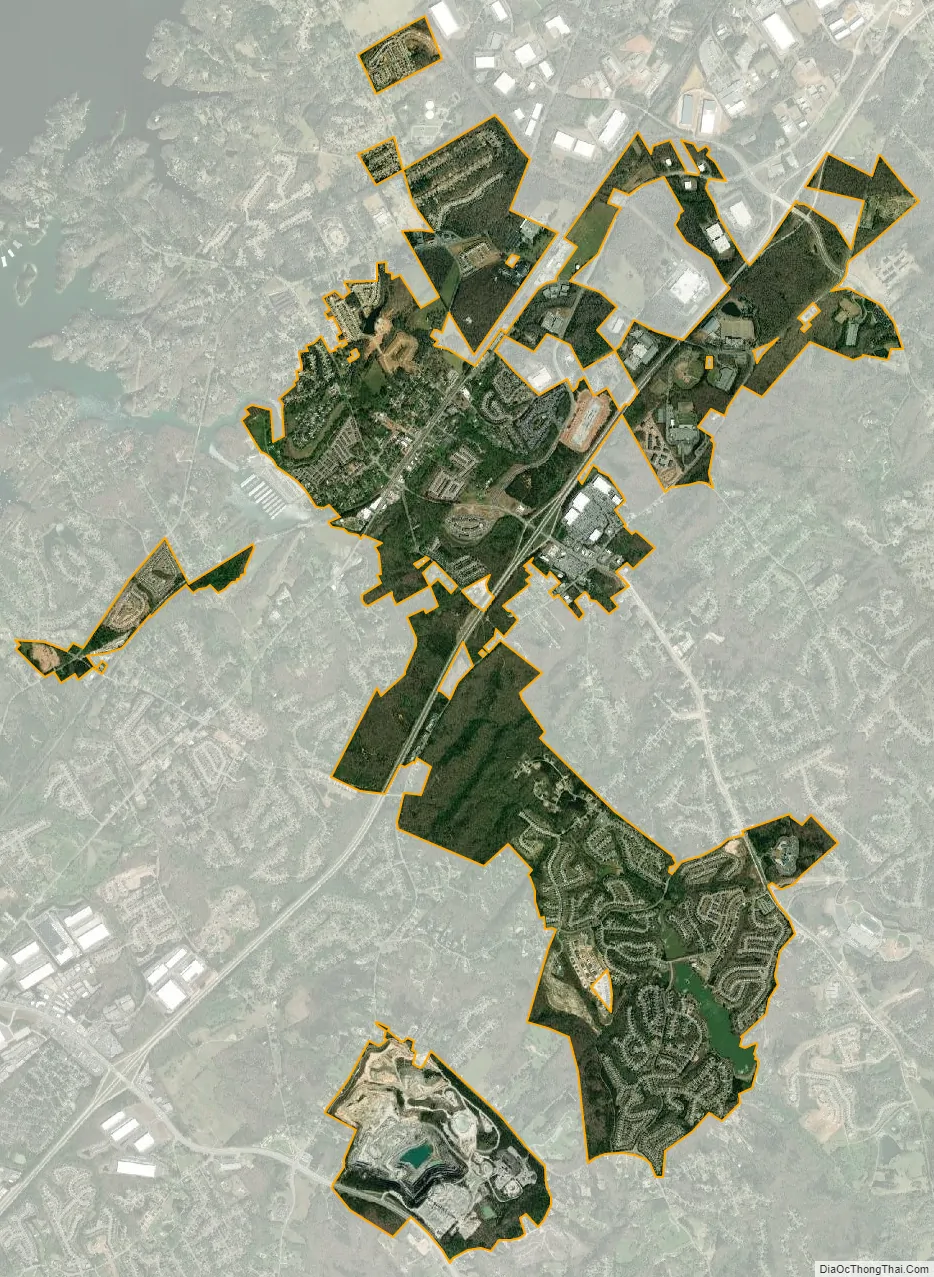
Flowery Branch city Satellite Map
Geography
According to the United States Census Bureau, the town has a total area of 6.32 square miles (16.4 km), of which, 6.32 square miles (16.4 km) is land and 0.40% is water.
Flowery Branch is within the Brevard Fault zone.
Natural resources in the Flowery Branch area include: gray marble, marble, clay, granite, graphite, limestone, iron ore, manganese, pegmatite, mica, beryl, quartzite, zircon, lead, copper, silver, and gold as known by the local Gold Hill Mine and regional popularity of The Hall County Gold Belt prospected during the Georgia Gold Rush. Pyrite is also abundant in the region. Other resources located within the near vicinity of Flowery Branch include: asbestos, corundum, sand, and precious gems such as diamond and ruby.
Flowery Branch borders Chestnut Mountain and Oakwood. City limits are 1 mile (1.6 km) from Gainesville and Braselton. Flowery Branch is on the shores of Lake Lanier.
See also
Map of Georgia State and its subdivision:- Appling
- Atkinson
- Bacon
- Baker
- Baldwin
- Banks
- Barrow
- Bartow
- Ben Hill
- Berrien
- Bibb
- Bleckley
- Brantley
- Brooks
- Bryan
- Bulloch
- Burke
- Butts
- Calhoun
- Camden
- Candler
- Carroll
- Catoosa
- Charlton
- Chatham
- Chattahoochee
- Chattooga
- Cherokee
- Clarke
- Clay
- Clayton
- Clinch
- Cobb
- Coffee
- Colquitt
- Columbia
- Cook
- Coweta
- Crawford
- Crisp
- Dade
- Dawson
- Decatur
- DeKalb
- Dodge
- Dooly
- Dougherty
- Douglas
- Early
- Echols
- Effingham
- Elbert
- Emanuel
- Evans
- Fannin
- Fayette
- Floyd
- Forsyth
- Franklin
- Fulton
- Gilmer
- Glascock
- Glynn
- Gordon
- Grady
- Greene
- Gwinnett
- Habersham
- Hall
- Hancock
- Haralson
- Harris
- Hart
- Heard
- Henry
- Houston
- Irwin
- Jackson
- Jasper
- Jeff Davis
- Jefferson
- Jenkins
- Johnson
- Jones
- Lamar
- Lanier
- Laurens
- Lee
- Liberty
- Lincoln
- Long
- Lowndes
- Lumpkin
- Macon
- Madison
- Marion
- McDuffie
- McIntosh
- Meriwether
- Miller
- Mitchell
- Monroe
- Montgomery
- Morgan
- Murray
- Muscogee
- Newton
- Oconee
- Oglethorpe
- Paulding
- Peach
- Pickens
- Pierce
- Pike
- Polk
- Pulaski
- Putnam
- Quitman
- Rabun
- Randolph
- Richmond
- Rockdale
- Schley
- Screven
- Seminole
- Spalding
- Stephens
- Stewart
- Sumter
- Talbot
- Taliaferro
- Tattnall
- Taylor
- Telfair
- Terrell
- Thomas
- Tift
- Toombs
- Towns
- Treutlen
- Troup
- Turner
- Twiggs
- Union
- Upson
- Walker
- Walton
- Ware
- Warren
- Washington
- Wayne
- Webster
- Wheeler
- White
- Whitfield
- Wilcox
- Wilkes
- Wilkinson
- Worth
- Alabama
- Alaska
- Arizona
- Arkansas
- California
- Colorado
- Connecticut
- Delaware
- District of Columbia
- Florida
- Georgia
- Hawaii
- Idaho
- Illinois
- Indiana
- Iowa
- Kansas
- Kentucky
- Louisiana
- Maine
- Maryland
- Massachusetts
- Michigan
- Minnesota
- Mississippi
- Missouri
- Montana
- Nebraska
- Nevada
- New Hampshire
- New Jersey
- New Mexico
- New York
- North Carolina
- North Dakota
- Ohio
- Oklahoma
- Oregon
- Pennsylvania
- Rhode Island
- South Carolina
- South Dakota
- Tennessee
- Texas
- Utah
- Vermont
- Virginia
- Washington
- West Virginia
- Wisconsin
- Wyoming