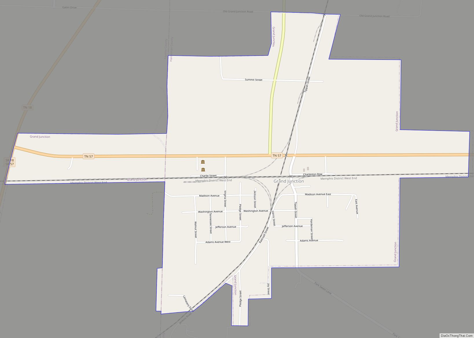
Grand Junction is a city between the border of Hardeman and Fayette County, Tennessee, United States. The population was 325 at the 2010 census, and was estimated to be 303 in 2015.
It has been called the “Bird Dog Capital of the World” and serves as the location of the National Bird Dog Museum.
| Name: | Grand Junction city |
|---|---|
| LSAD Code: | 25 |
| LSAD Description: | city (suffix) |
| State: | Tennessee |
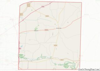
| County: | Fayette County, Hardeman County |
| Founded: | 1854 |
| Elevation: | 571 ft (174 m) |
| Total Area: | 1.19 sq mi (3.07 km²) |
| Land Area: | 1.19 sq mi (3.07 km²) |
| Water Area: | 0.00 sq mi (0.00 km²) |
| Total Population: | 338 |
| Population Density: | 284.75/sq mi (109.94/km²) |
| ZIP code: | 38039 |
| Area code: | 731, 901 |
| FIPS code: | 4730280 |
| GNISfeature ID: | 1285817 |
| Website: | www.grandjunctiontn.com |
Online Interactive Map
Click on ![]() to view map in "full screen" mode.
to view map in "full screen" mode.
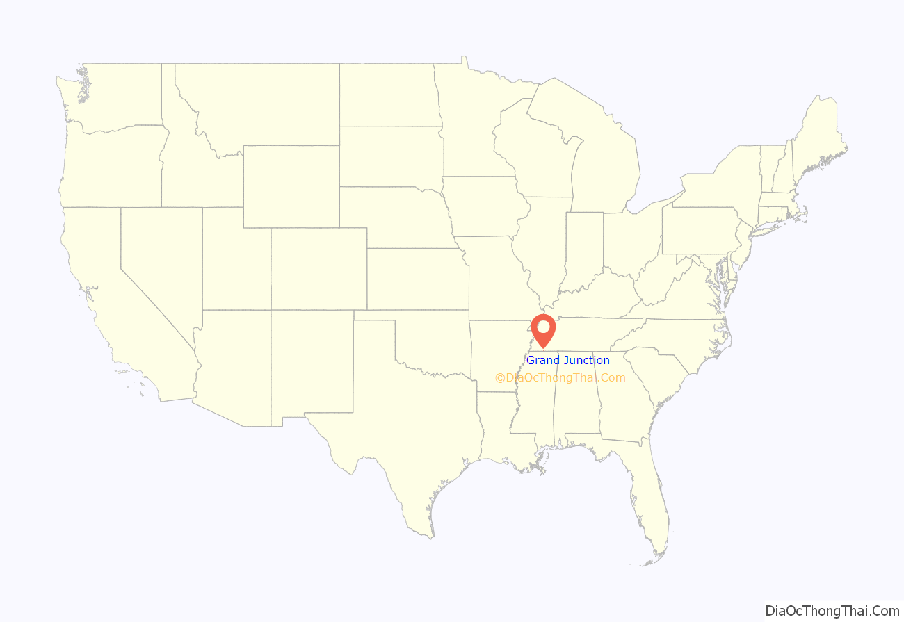
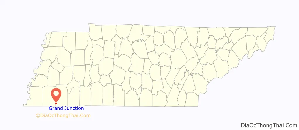
Grand Junction location map. Where is Grand Junction city?
History
Grand Junction was founded in 1858. It was named after the “Grand Junction” of the Memphis and Charleston Railroad and the Mississippi Central Railroad. The town was a railroad town, with its own newspaper, two saloons, three hotels, a livery stable, and other businesses. During the Civil War, the Union Army held the city for approximately three years. Also during the Civil War General U.S. Grant established a “Contraband Camp” of thousands of former enslaved people, providing shelter, education etc. prior to the Emancipation Proclamation. (Ron Chernow, p 230) In 1878 a yellow fever epidemic struck the town and killed more than half of the 150 residents. The town was incorporated in 1901.
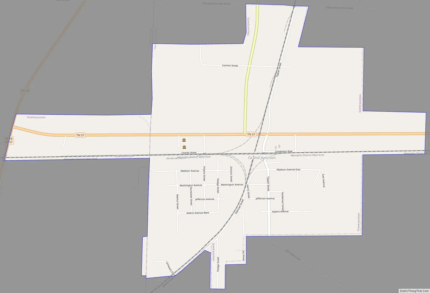
Grand Junction Road Map
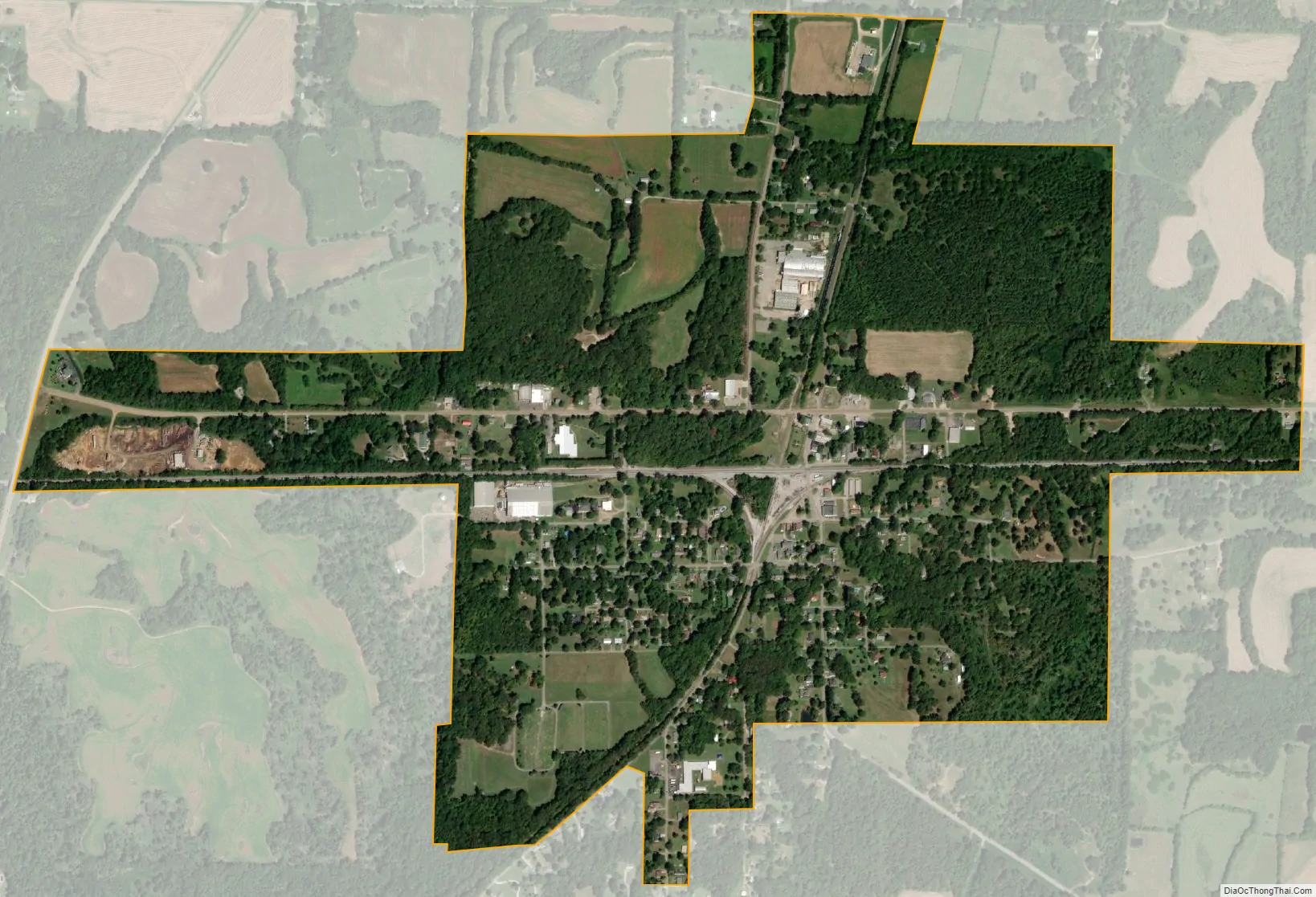
Grand Junction city Satellite Map
Geography
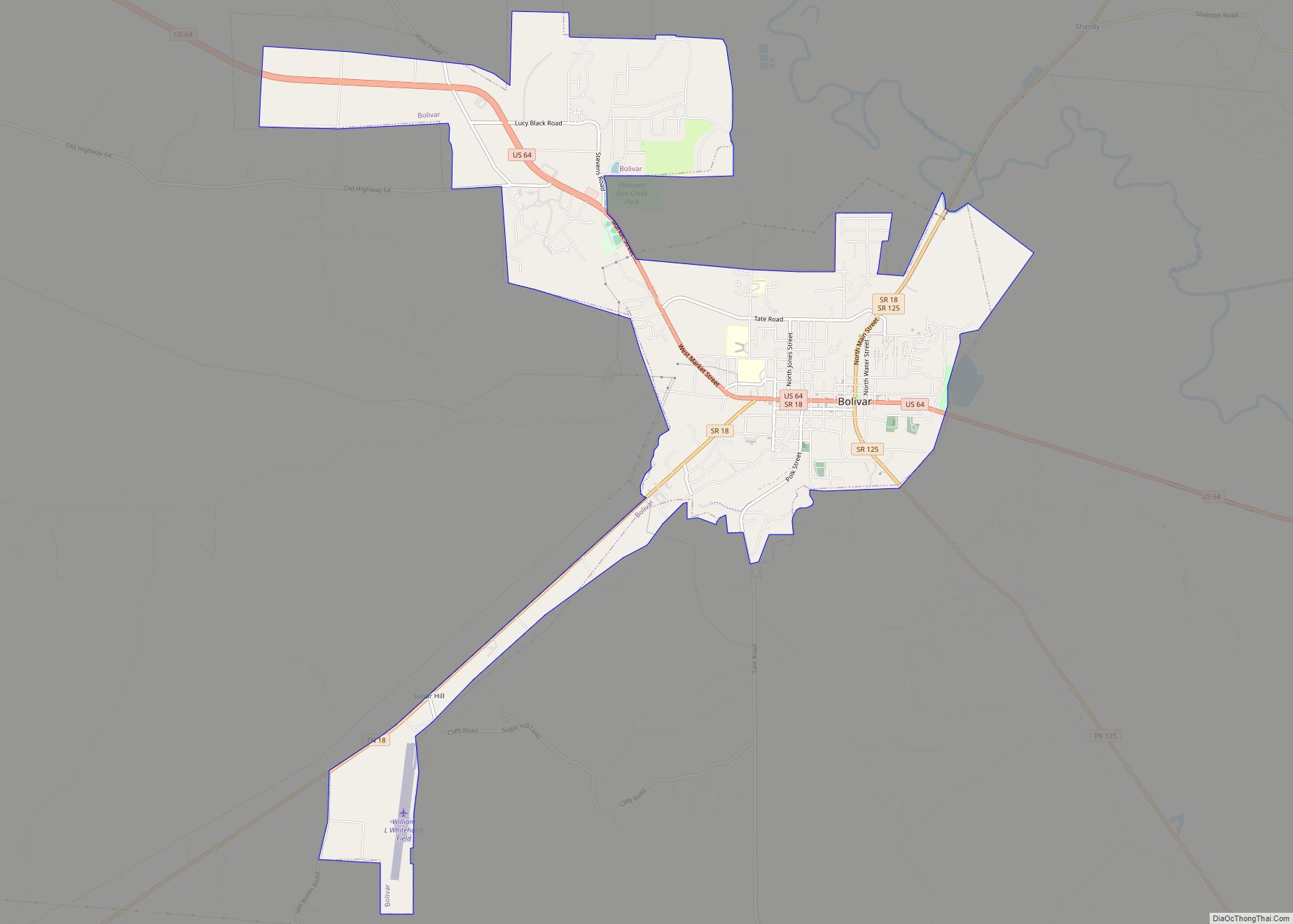
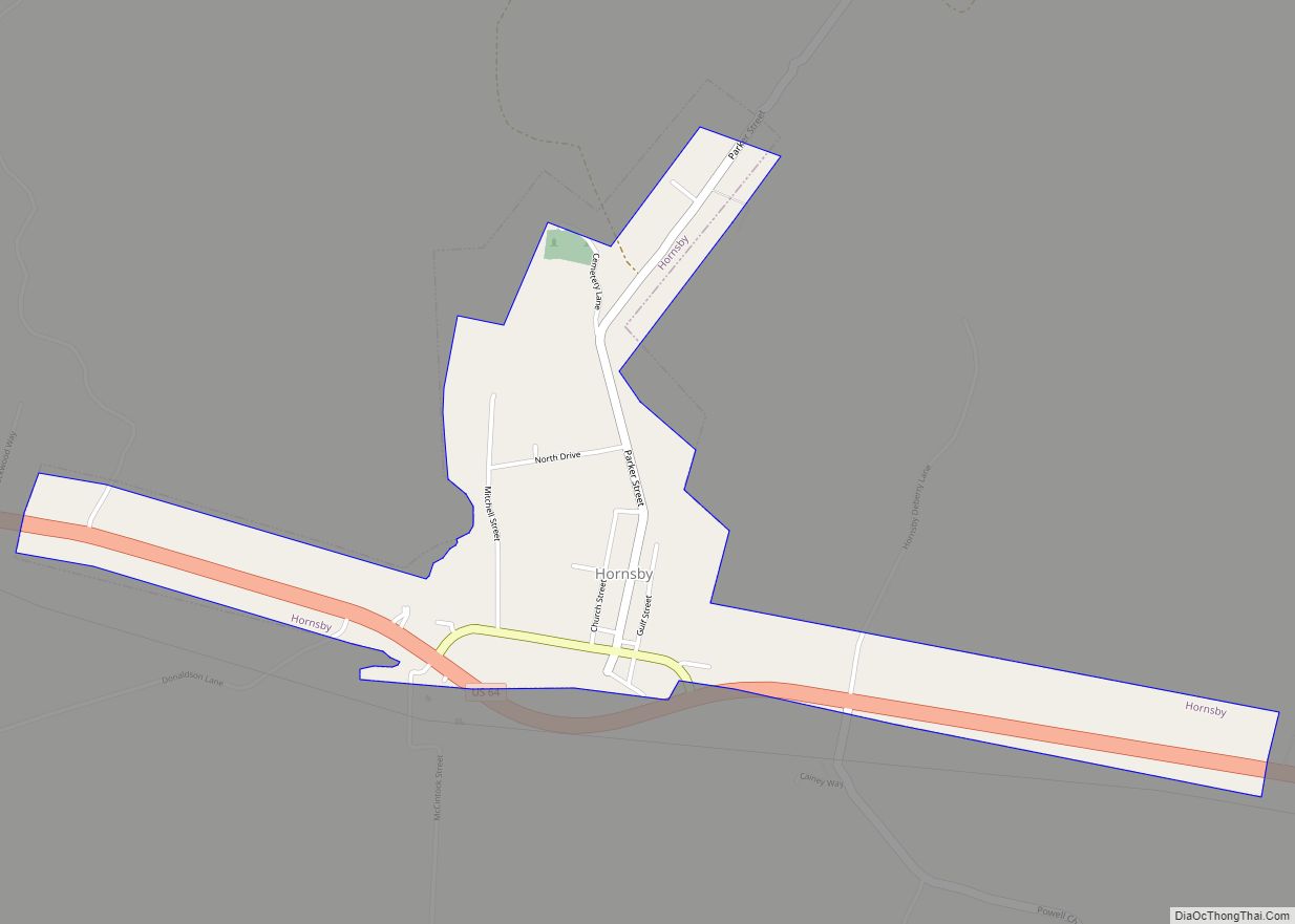
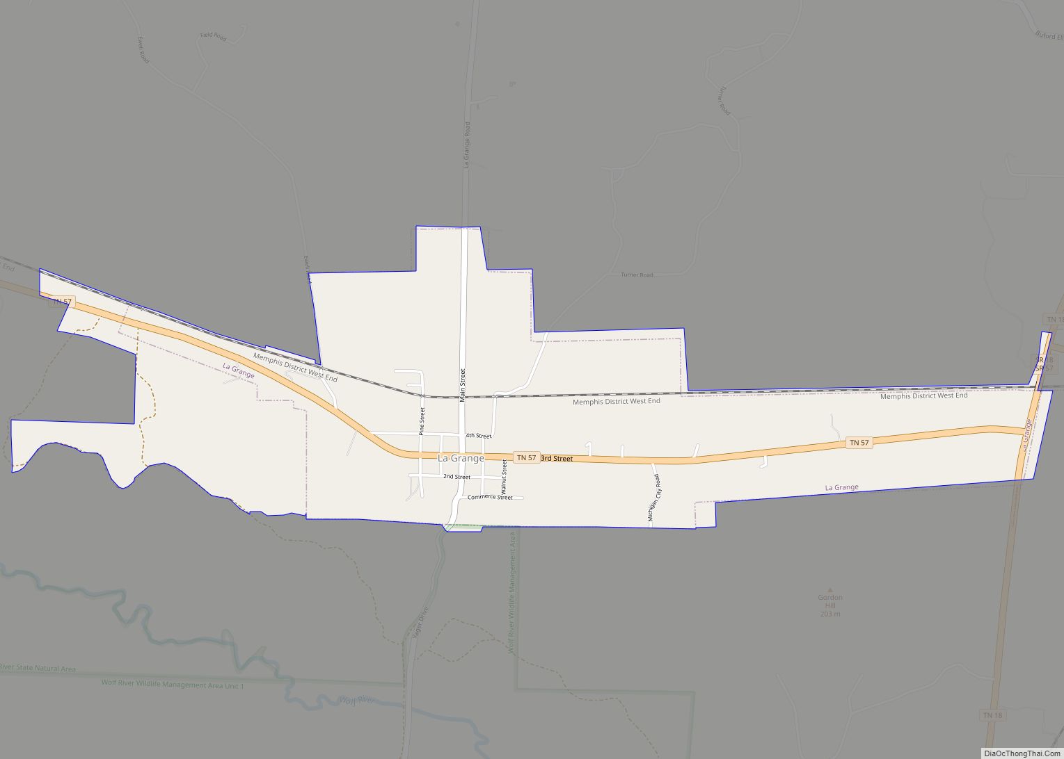
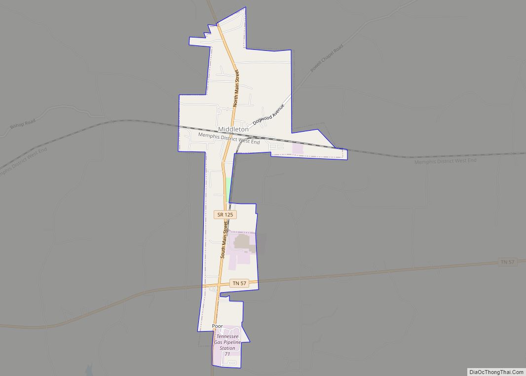
Grand Junction is located in southwestern Hardeman County at 35°2′53″N 89°11′25″W / 35.04806°N 89.19028°W / 35.04806; -89.19028 (35.048023, -89.190177). A small portion of the town extends west into Fayette County. Tennessee State Route 57 runs through the city, leading east 17 miles (27 km) to Middleton and west 3.5 miles (5.6 km) to La Grange. Collierville, on the outskirts of the Memphis suburbs, is 28 miles (45 km) to the west on TN 57. Tennessee State Route 18 runs past the western edge of Grand Junction, leading northeast 19 miles (31 km) to Bolivar and southwest 4 miles (6.4 km) to the Mississippi border, beyond which Mississippi Highway 7 continues southwest 20 miles (32 km) to Holly Springs. Tennessee State Route 368 is a local highway that runs through downtown Grand Junction.
According to the United States Census Bureau, the city has a total area of 1.2 square miles (3.1 km), all land.
See also
Map of Tennessee State and its subdivision:- Anderson
- Bedford
- Benton
- Bledsoe
- Blount
- Bradley
- Campbell
- Cannon
- Carroll
- Carter
- Cheatham
- Chester
- Claiborne
- Clay
- Cocke
- Coffee
- Crockett
- Cumberland
- Davidson
- Decatur
- DeKalb
- Dickson
- Dyer
- Fayette
- Fentress
- Franklin
- Gibson
- Giles
- Grainger
- Greene
- Grundy
- Hamblen
- Hamilton
- Hancock
- Hardeman
- Hardin
- Hawkins
- Haywood
- Henderson
- Henry
- Hickman
- Houston
- Humphreys
- Jackson
- Jefferson
- Johnson
- Knox
- Lake
- Lauderdale
- Lawrence
- Lewis
- Lincoln
- Loudon
- Macon
- Madison
- Marion
- Marshall
- Maury
- McMinn
- McNairy
- Meigs
- Monroe
- Montgomery
- Moore
- Morgan
- Obion
- Overton
- Perry
- Pickett
- Polk
- Putnam
- Rhea
- Roane
- Robertson
- Rutherford
- Scott
- Sequatchie
- Sevier
- Shelby
- Smith
- Stewart
- Sullivan
- Sumner
- Tipton
- Trousdale
- Unicoi
- Union
- Van Buren
- Warren
- Washington
- Wayne
- Weakley
- White
- Williamson
- Wilson
- Alabama
- Alaska
- Arizona
- Arkansas
- California
- Colorado
- Connecticut
- Delaware
- District of Columbia
- Florida
- Georgia
- Hawaii
- Idaho
- Illinois
- Indiana
- Iowa
- Kansas
- Kentucky
- Louisiana
- Maine
- Maryland
- Massachusetts
- Michigan
- Minnesota
- Mississippi
- Missouri
- Montana
- Nebraska
- Nevada
- New Hampshire
- New Jersey
- New Mexico
- New York
- North Carolina
- North Dakota
- Ohio
- Oklahoma
- Oregon
- Pennsylvania
- Rhode Island
- South Carolina
- South Dakota
- Tennessee
- Texas
- Utah
- Vermont
- Virginia
- Washington
- West Virginia
- Wisconsin
- Wyoming