Anthony is a city in and the county seat of Harper County, Kansas, United States. As of the 2020 census, the population of the city was 2,108.
| Name: | Anthony city |
|---|---|
| LSAD Code: | 25 |
| LSAD Description: | city (suffix) |
| State: | Kansas |
| County: | Harper County |
| Founded: | 1870s |
| Incorporated: | 1879 |
| Elevation: | 1,352 ft (412 m) |
| Total Area: | 3.21 sq mi (8.31 km²) |
| Land Area: | 3.03 sq mi (7.85 km²) |
| Water Area: | 0.18 sq mi (0.46 km²) |
| Total Population: | 2,108 |
| Population Density: | 660/sq mi (250/km²) |
| ZIP code: | 67003 |
| Area code: | 620 |
| FIPS code: | 2001975 |
| Website: | anthonykansas.org |
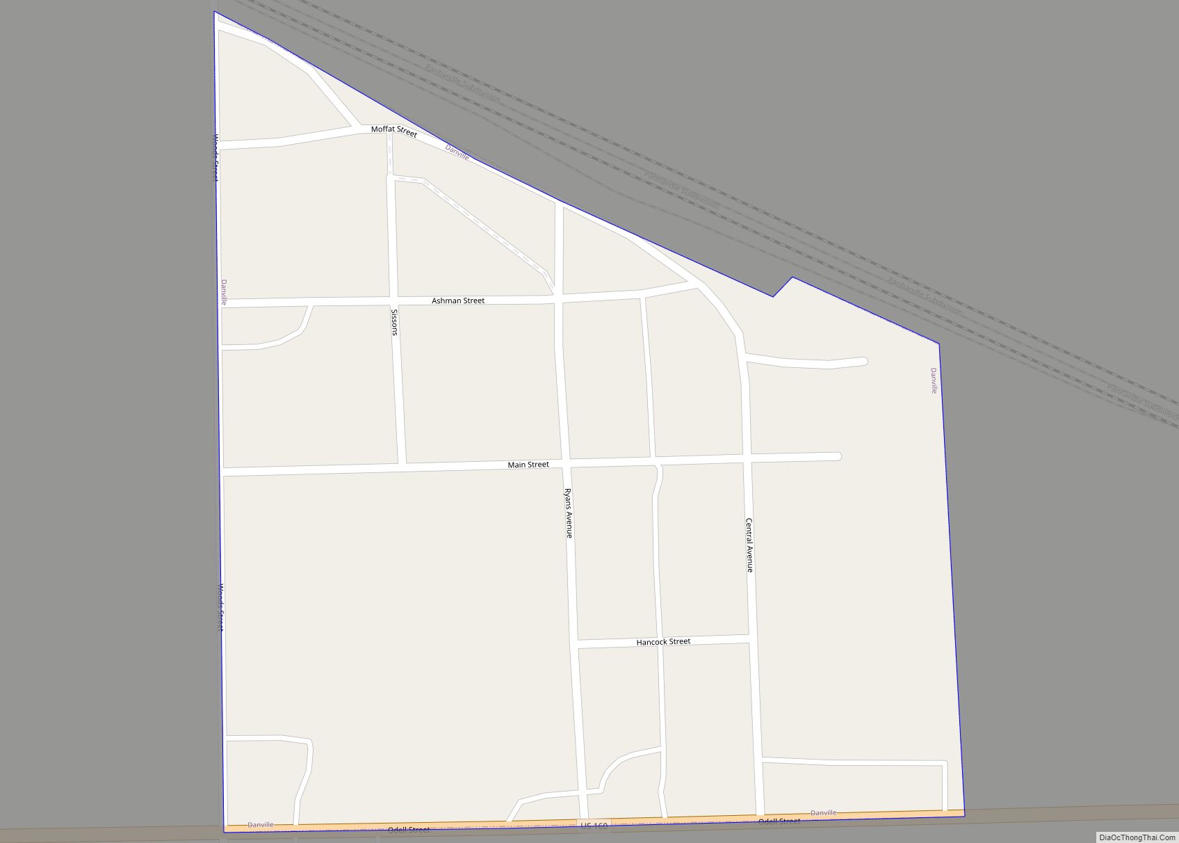
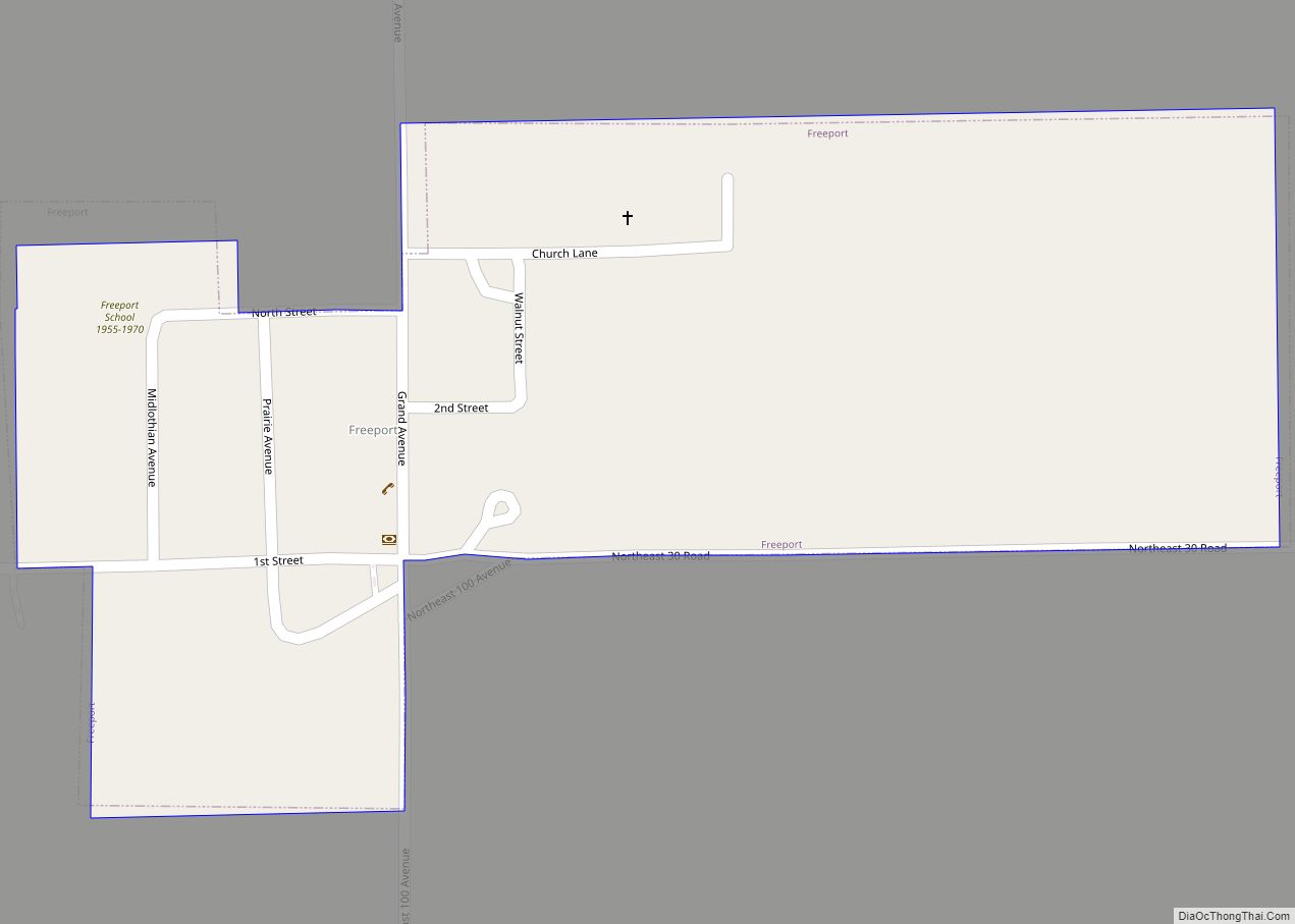
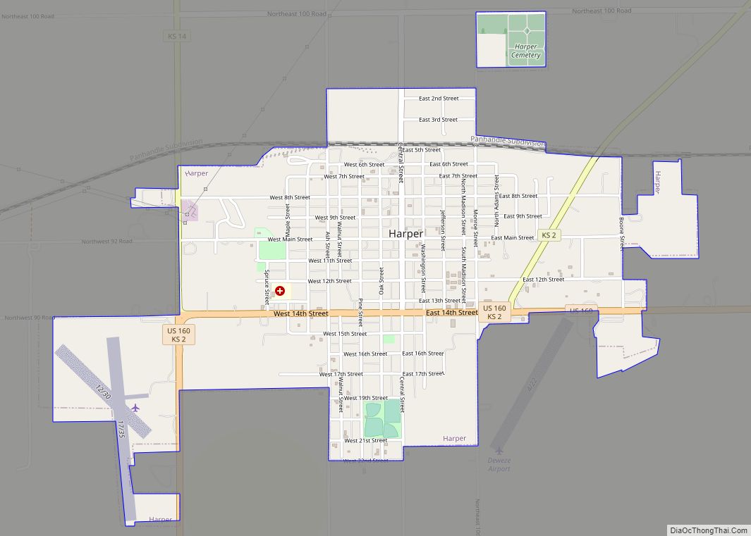
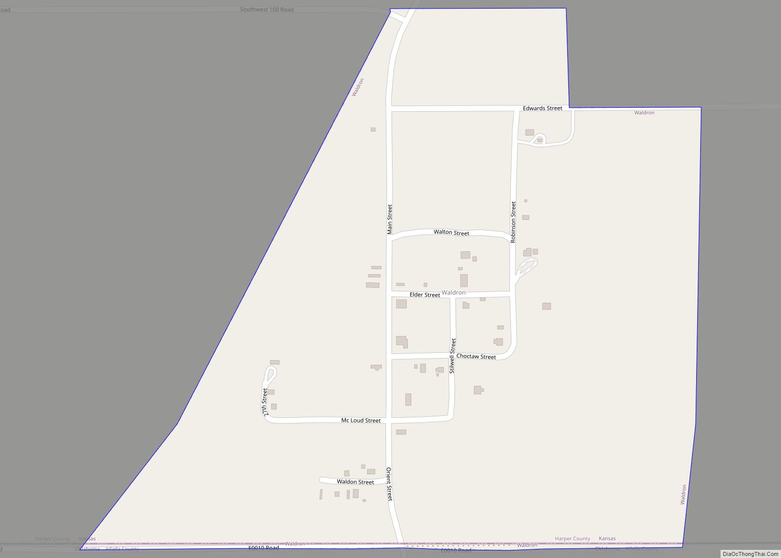
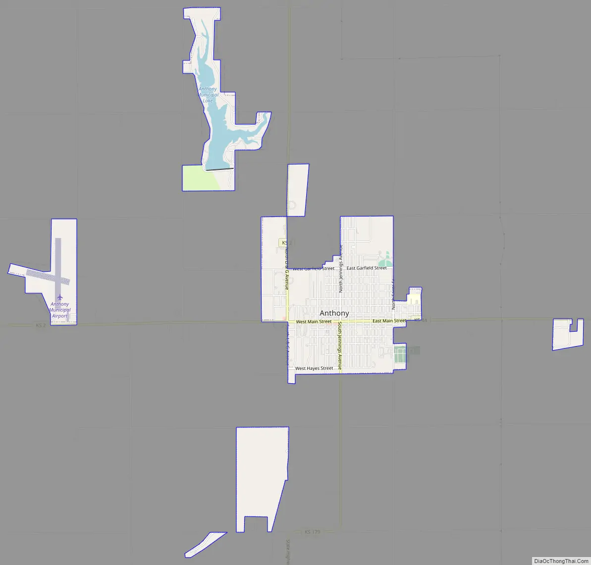
Online Interactive Map
Click on ![]() to view map in "full screen" mode.
to view map in "full screen" mode.
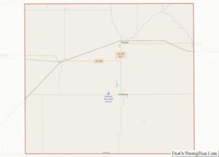
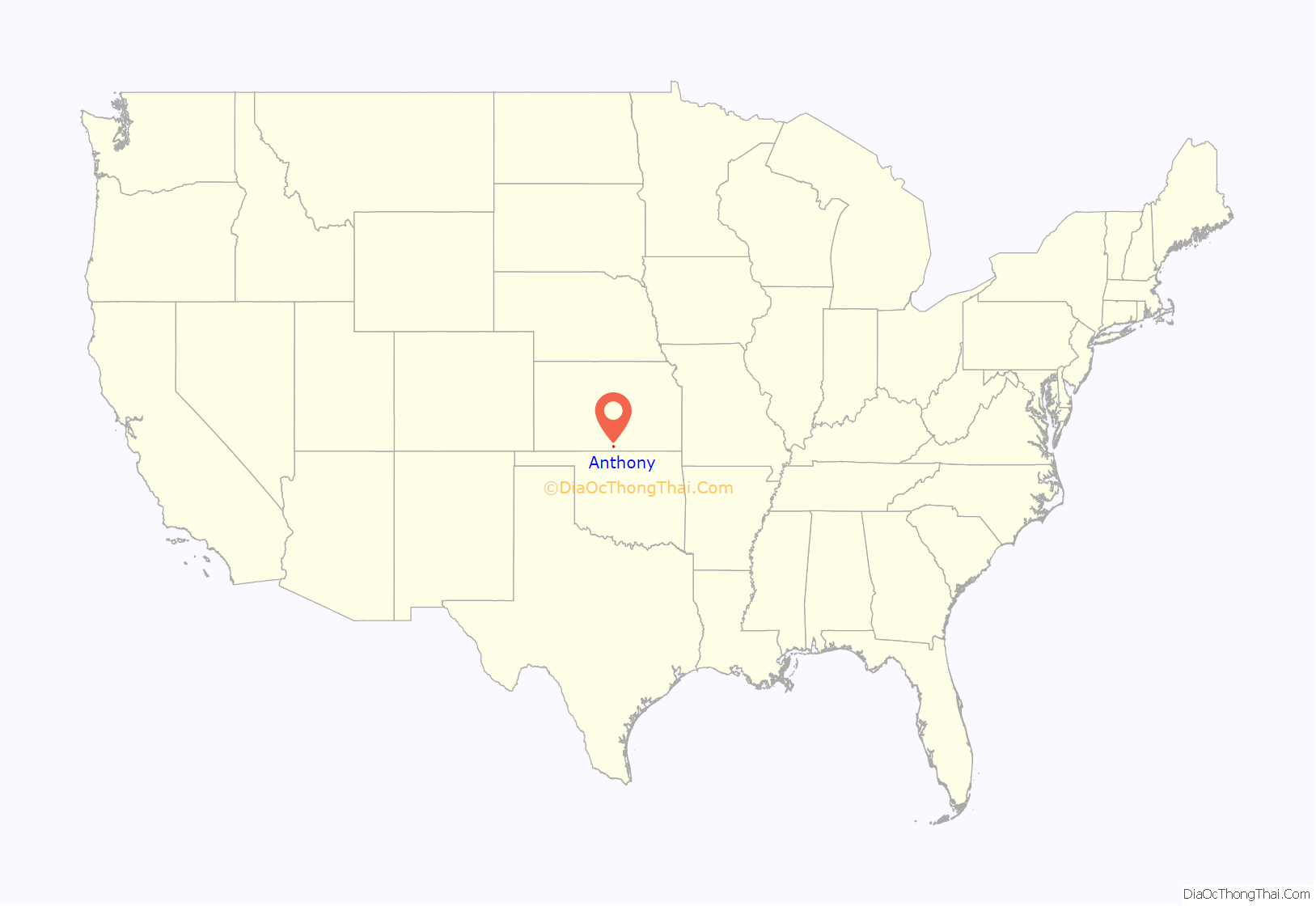
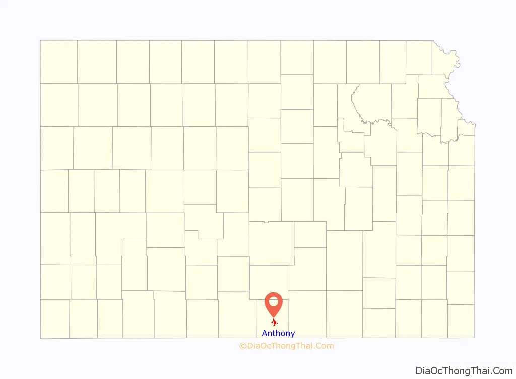
Anthony location map. Where is Anthony city?
History
The Anthony townsite was laid out in 1878. The city was named after the 7th governor of Kansas, George T. Anthony who was in office at the time. Following the reorganization of Harper County in 1878 following the original fraudulent organization in 1873, Anthony was designated the temporary county seat, as Bluff City, designated county seat of the fraudulent county organization, did not exist at the time. In 1879, a county seat election was held, and Anthony won over Harper City even though 2,960 ballots were cast with 800 legal voters in the county.
Anthony existed at the intersection of the St. Louis-San Francisco Railroad and the Missouri Pacific Railway since at least 1891. Three additional railroads came through town by 1912: the Choctaw Northern Railroad (by then owned by the Chicago, Rock Island and Pacific Railroad), the Kansas City, Mexico and Orient Railroad and the Kansas Southwestern Railway (the latter two becoming part of the Atchison, Topeka and Santa Fe Railway. However, rail abandonments began around 1986, leaving Anthony without any rail service by 2000.
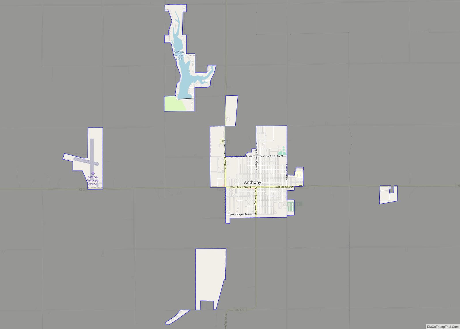
Anthony Road Map
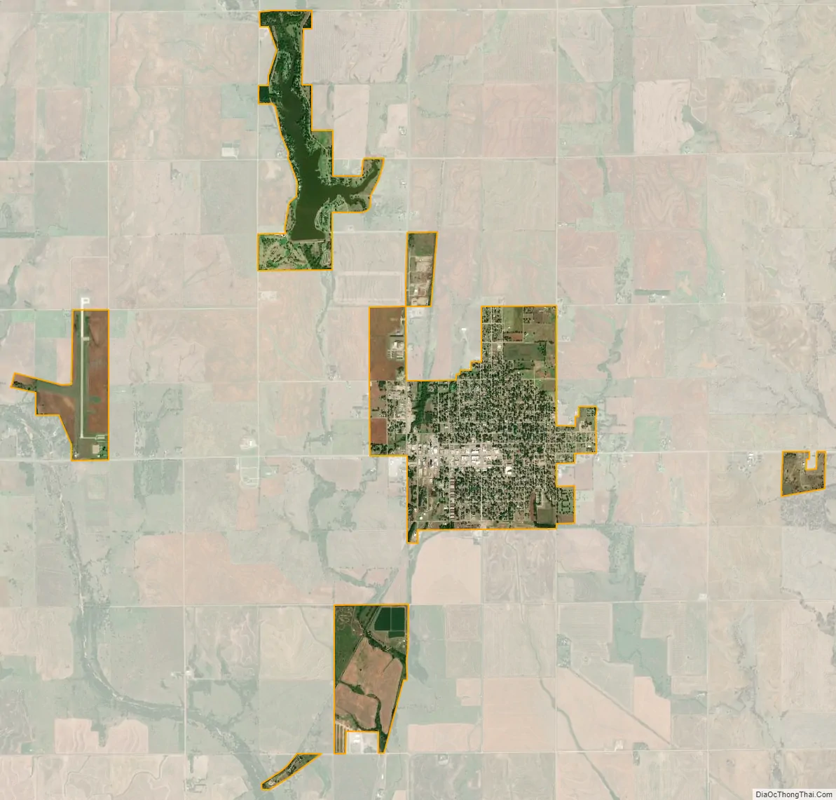
Anthony city Satellite Map
Geography
Anthony is located at 37°9′14″N 98°1′46″W / 37.15389°N 98.02944°W / 37.15389; -98.02944 (37.153902, -98.029396). According to the United States Census Bureau, the city has a total area of 3.31 square miles (8.57 km), of which, 3.13 square miles (8.11 km) is land and 0.18 square miles (0.47 km) is water.
Climate
The climate in this area is characterized by hot, humid summers and generally mild to cool winters. According to the Köppen Climate Classification system, Anthony has a humid subtropical climate, abbreviated “Cfa” on climate maps.
See also
Map of Kansas State and its subdivision:- Allen
- Anderson
- Atchison
- Barber
- Barton
- Bourbon
- Brown
- Butler
- Chase
- Chautauqua
- Cherokee
- Cheyenne
- Clark
- Clay
- Cloud
- Coffey
- Comanche
- Cowley
- Crawford
- Decatur
- Dickinson
- Doniphan
- Douglas
- Edwards
- Elk
- Ellis
- Ellsworth
- Finney
- Ford
- Franklin
- Geary
- Gove
- Graham
- Grant
- Gray
- Greeley
- Greenwood
- Hamilton
- Harper
- Harvey
- Haskell
- Hodgeman
- Jackson
- Jefferson
- Jewell
- Johnson
- Kearny
- Kingman
- Kiowa
- Labette
- Lane
- Leavenworth
- Lincoln
- Linn
- Logan
- Lyon
- Marion
- Marshall
- McPherson
- Meade
- Miami
- Mitchell
- Montgomery
- Morris
- Morton
- Nemaha
- Neosho
- Ness
- Norton
- Osage
- Osborne
- Ottawa
- Pawnee
- Phillips
- Pottawatomie
- Pratt
- Rawlins
- Reno
- Republic
- Rice
- Riley
- Rooks
- Rush
- Russell
- Saline
- Scott
- Sedgwick
- Seward
- Shawnee
- Sheridan
- Sherman
- Smith
- Stafford
- Stanton
- Stevens
- Sumner
- Thomas
- Trego
- Wabaunsee
- Wallace
- Washington
- Wichita
- Wilson
- Woodson
- Wyandotte
- Alabama
- Alaska
- Arizona
- Arkansas
- California
- Colorado
- Connecticut
- Delaware
- District of Columbia
- Florida
- Georgia
- Hawaii
- Idaho
- Illinois
- Indiana
- Iowa
- Kansas
- Kentucky
- Louisiana
- Maine
- Maryland
- Massachusetts
- Michigan
- Minnesota
- Mississippi
- Missouri
- Montana
- Nebraska
- Nevada
- New Hampshire
- New Jersey
- New Mexico
- New York
- North Carolina
- North Dakota
- Ohio
- Oklahoma
- Oregon
- Pennsylvania
- Rhode Island
- South Carolina
- South Dakota
- Tennessee
- Texas
- Utah
- Vermont
- Virginia
- Washington
- West Virginia
- Wisconsin
- Wyoming