Harper is a city in Harper County, Kansas, United States. As of the 2020 census, the population of the city was 1,313.
| Name: | Harper city |
|---|---|
| LSAD Code: | 25 |
| LSAD Description: | city (suffix) |
| State: | Kansas |
| County: | Harper County |
| Founded: | 1877 |
| Incorporated: | 1880 |
| Elevation: | 1,421 ft (433 m) |
| Total Area: | 1.62 sq mi (4.20 km²) |
| Land Area: | 1.62 sq mi (4.20 km²) |
| Water Area: | 0.00 sq mi (0.00 km²) |
| Total Population: | 1,313 |
| Population Density: | 810/sq mi (310/km²) |
| ZIP code: | 67058 |
| Area code: | 620 |
| FIPS code: | 2030175 |
| Website: | cityofharper.com |
Online Interactive Map
Click on ![]() to view map in "full screen" mode.
to view map in "full screen" mode.
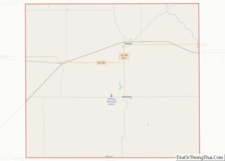
Harper location map. Where is Harper city?


History
Harper was founded in 1877 by a colony from Iowa. The city of Harper, like Harper County, is named for Sergeant Marion Harper of the 2nd Kansas Cavalry, who fell in the (American) Civil War. Harper was incorporated as a city in 1880.
The first post office in Harper was established in May 1877 as Cora City, but in June of that year, the post office was renamed Harper.
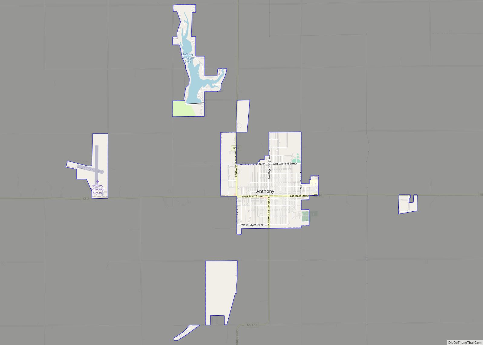
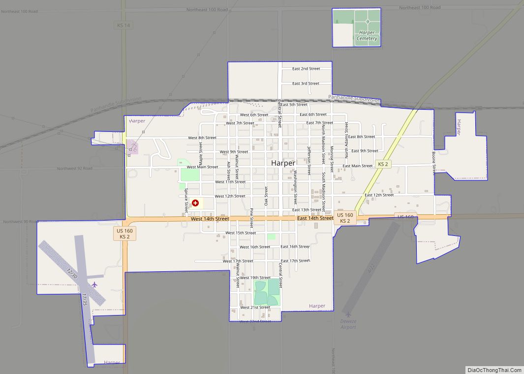
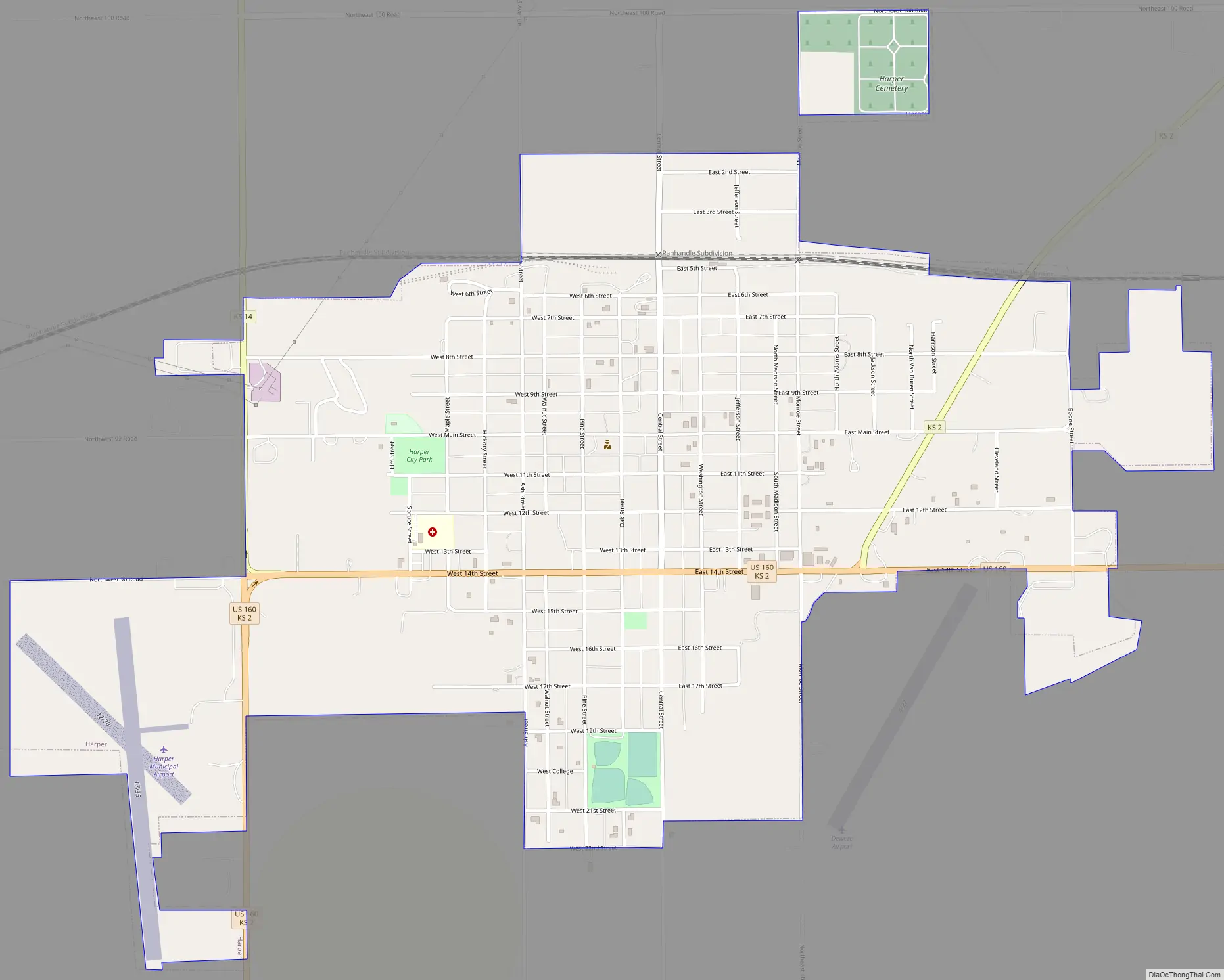
Harper Road Map
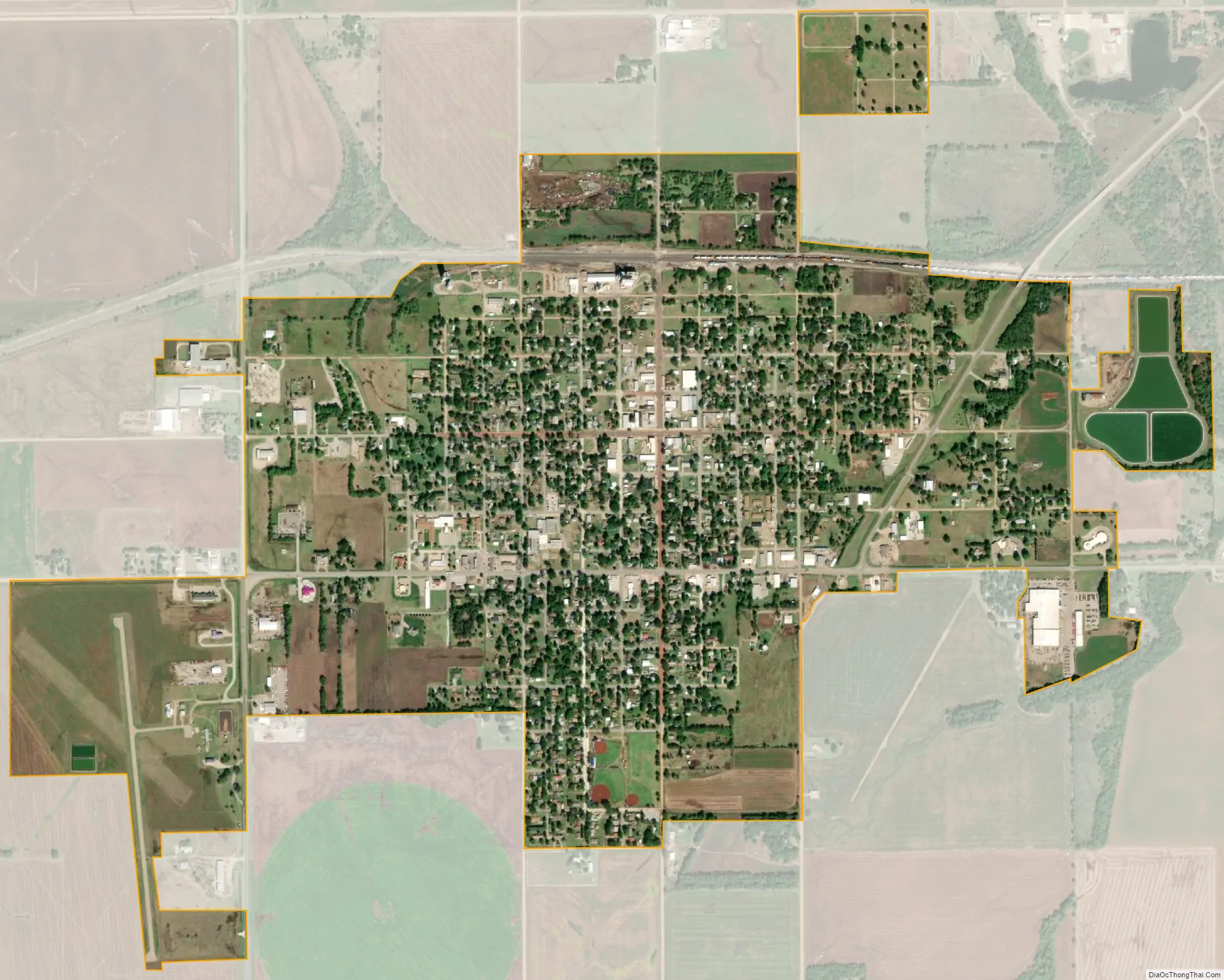
Harper city Satellite Map
Geography
Harper is located at 37°17′07″N 98°01′36″W / 37.285252°N 98.026615°W / 37.285252; -98.026615 (37.285252, -98.026615). According to the United States Census Bureau, the city has a total area of 1.63 square miles (4.22 km), all of it land.
See also
Map of Kansas State and its subdivision:- Allen
- Anderson
- Atchison
- Barber
- Barton
- Bourbon
- Brown
- Butler
- Chase
- Chautauqua
- Cherokee
- Cheyenne
- Clark
- Clay
- Cloud
- Coffey
- Comanche
- Cowley
- Crawford
- Decatur
- Dickinson
- Doniphan
- Douglas
- Edwards
- Elk
- Ellis
- Ellsworth
- Finney
- Ford
- Franklin
- Geary
- Gove
- Graham
- Grant
- Gray
- Greeley
- Greenwood
- Hamilton
- Harper
- Harvey
- Haskell
- Hodgeman
- Jackson
- Jefferson
- Jewell
- Johnson
- Kearny
- Kingman
- Kiowa
- Labette
- Lane
- Leavenworth
- Lincoln
- Linn
- Logan
- Lyon
- Marion
- Marshall
- McPherson
- Meade
- Miami
- Mitchell
- Montgomery
- Morris
- Morton
- Nemaha
- Neosho
- Ness
- Norton
- Osage
- Osborne
- Ottawa
- Pawnee
- Phillips
- Pottawatomie
- Pratt
- Rawlins
- Reno
- Republic
- Rice
- Riley
- Rooks
- Rush
- Russell
- Saline
- Scott
- Sedgwick
- Seward
- Shawnee
- Sheridan
- Sherman
- Smith
- Stafford
- Stanton
- Stevens
- Sumner
- Thomas
- Trego
- Wabaunsee
- Wallace
- Washington
- Wichita
- Wilson
- Woodson
- Wyandotte
- Alabama
- Alaska
- Arizona
- Arkansas
- California
- Colorado
- Connecticut
- Delaware
- District of Columbia
- Florida
- Georgia
- Hawaii
- Idaho
- Illinois
- Indiana
- Iowa
- Kansas
- Kentucky
- Louisiana
- Maine
- Maryland
- Massachusetts
- Michigan
- Minnesota
- Mississippi
- Missouri
- Montana
- Nebraska
- Nevada
- New Hampshire
- New Jersey
- New Mexico
- New York
- North Carolina
- North Dakota
- Ohio
- Oklahoma
- Oregon
- Pennsylvania
- Rhode Island
- South Carolina
- South Dakota
- Tennessee
- Texas
- Utah
- Vermont
- Virginia
- Washington
- West Virginia
- Wisconsin
- Wyoming