Gregg County is a county located in the eastern part of the U.S. state of Texas. As of the 2020 census, its population was 124,239. Its county seat is Longview. The county is named after John Gregg, a Confederate general killed in action during the American Civil War.
Gregg County is part of the Longview, Texas metropolitan area and the Longview–Marshall, Texas combined statistical area. Discovery of oil near Kilgore, Texas, in October 1930 was the beginning of an oil boom that attracted workers to the county and expanded the population by more than 500% by 1940, according to the census. By that time, the economy had stabilized, but the East Texas Oil Field, extending into five counties, has continued to be important to the county and region’s economy.
| Name: | Gregg County |
|---|---|
| FIPS code: | 48-183 |
| State: | Texas |
| Founded: | 1873 |
| Named for: | Gen. John Gregg |
| Seat: | Longview |
| Largest city: | Longview |
| Total Area: | 276 sq mi (710 km²) |
| Land Area: | 273 sq mi (710 km²) |
| Total Population: | 124,239 |
| Population Density: | 450/sq mi (170/km²) |
| Time zone: | UTC−6 (Central) |
| Summer Time Zone (DST): | UTC−5 (CDT) |
| Website: | www.co.gregg.tx.us |
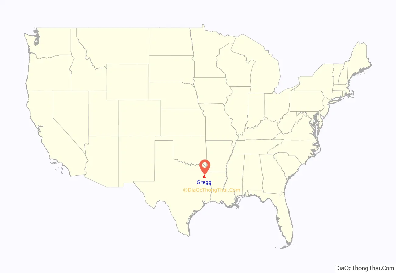
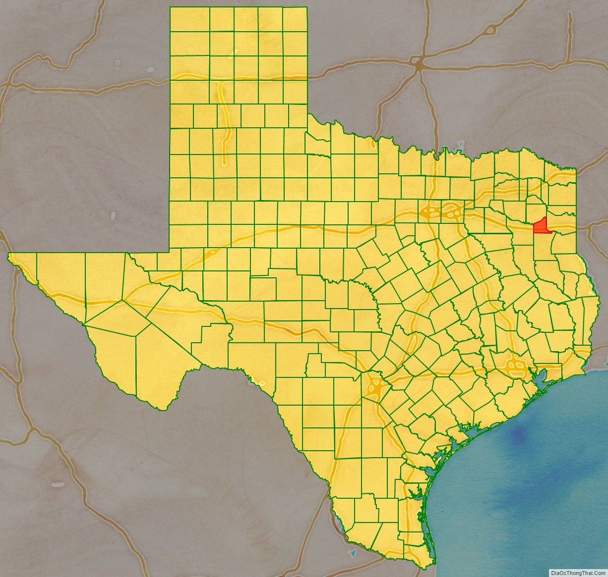
Gregg County location map. Where is Gregg County?
History
This area was among early sections settled by United States immigrants before Texas became an independent republic, and after 1845, a state of the United States. It was an area developed as cotton plantations dependent on slave labor of African Americans. Lumbering of the pine forests was also pursued, especially in the early years of clearing the land for cultivation.
Gregg County was organized in 1873 after the American Civil War from portions of existing counties. When the Texas State Legislature convened in January 1873, Democratic representative B. W. Brown of Upshur County introduced a bill to create a new county from parts of Harrison, Rusk, and Upshur Counties. He was likely trying to break up the black majority that dominated county politics in Harrison County. Under Brown’s proposal, the county was to be named Roanoke, and Longview was to be the county seat. The proposed name was later changed to honor Texas leader and Confederate General John Gregg, and the county seat was determined by popular election.
Harrison and Rusk Counties resisted efforts to have portions of their territory assigned to Gregg County. When Gregg County was created, it first consisted of about 143 square miles (370 km) taken from Upshur County, and the Sabine River was its southern boundary. In April 1874, about 141 square miles (370 km) south of the Sabine River in Rusk County was added to Gregg County. The third portion, of about 145 square miles (380 km) to be taken from Harrison County, was never realized. Many of its voters continued to elect Republicans to county offices.
By 1919, the county population was 16,700, of whom 8,160, or 48%, were Black. Most were sharecroppers or tenant farmers raising cotton as a commodity crop. Members of the Negro Business League set up a cooperative store in Longview to compete with White merchants and offer African-American residents more choices for purchases. Beginning July 10, the town had a short-lived Longview Race Riot, in which one Black man was killed, and several Black-owned homes and properties were burned. It was quelled when the sheriff asked for Texas National Guard and other law enforcement. They established a curfew and military occupation.
Agricultural work declined during the Great Depression of the 1930s, and many African Americans continued to leave in the Great Migration north to find other work. In October 1930, oil was discovered in Henderson, Texas, near Kilgore. Suddenly, the county economy was booming, and the East Texas Oil Field attracted so many workers that county population increased by more than 500% by 1940. Growth stabilized, but oil has continued to be important. County demographics changed as other workers were attracted to the area. In the early 21st century, slightly less than 20% of the population is African American.
Texas Attorney General John Ben Shepperd, who served from 1953 to 1957, maintained a ranch in Gregg County near his native Gladewater. He also served on the Gregg County Commissioners Court for a brief period in 1949.
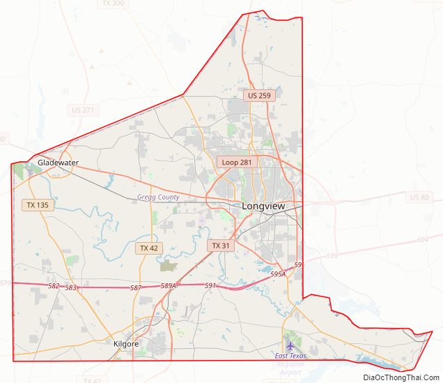
Gregg County Road Map
Geography
According to the U.S. Census Bureau, the county has a total area of 276 square miles (710 km), of which 2.5 square miles (6.5 km) (0.9%) are covered by water.
Major highways
- Interstate 20
- U.S. Highway 80
- U.S. Highway 259
- U.S. Highway 271
- State Highway 31
- State Highway 42
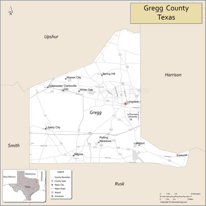
Adjacent counties
- Upshur County (north)
- Harrison County (east)
- Rusk County (south)
- Smith County (west)
Communities
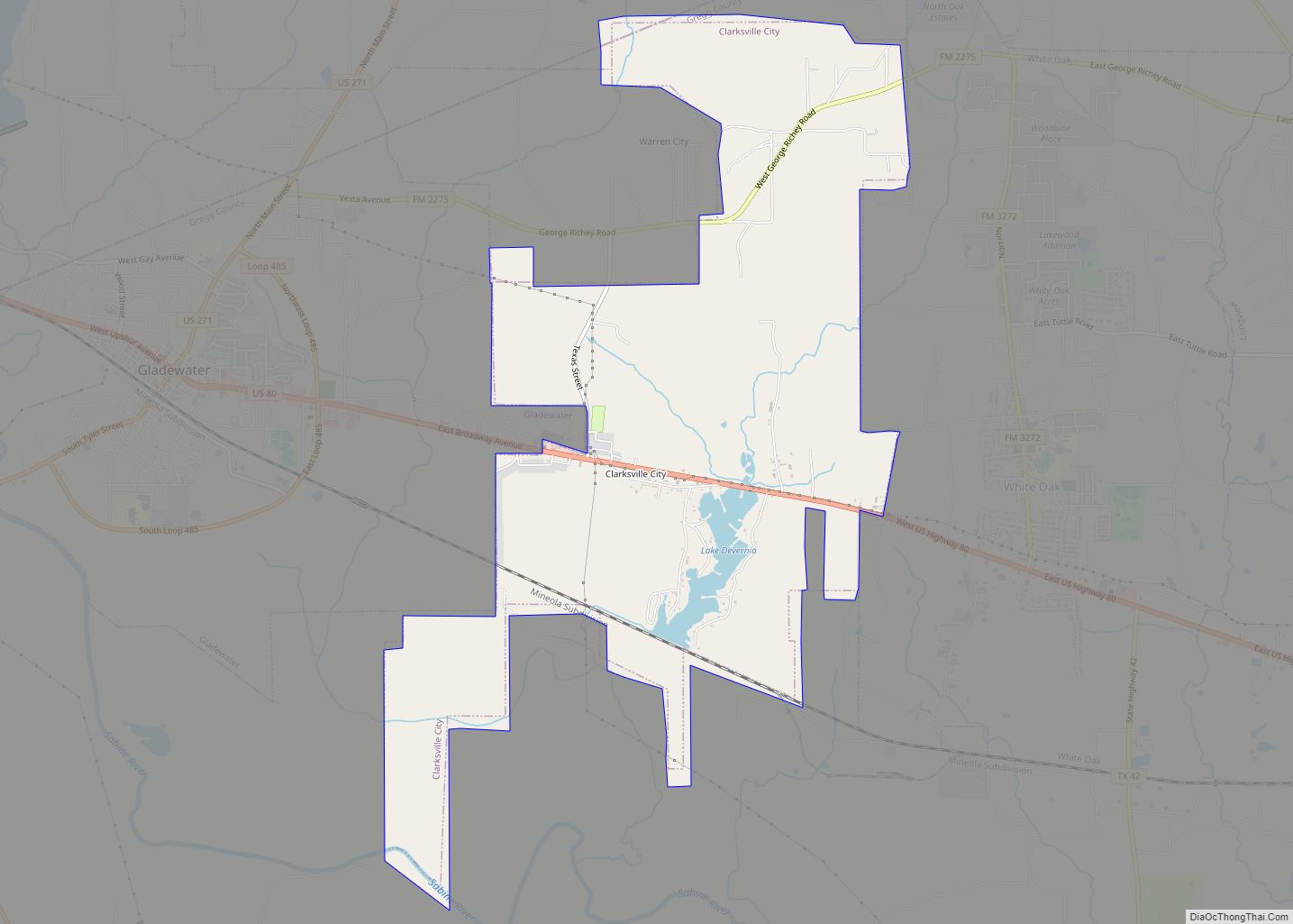
- Clarksville City (small part in Upshur County)
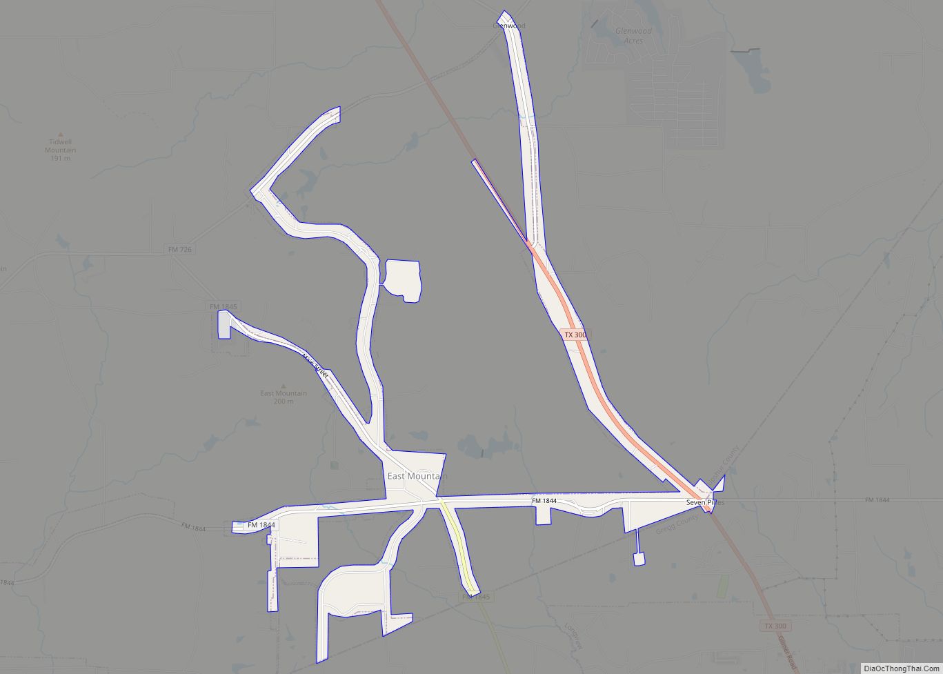
- East Mountain (mostly in Upshur County)
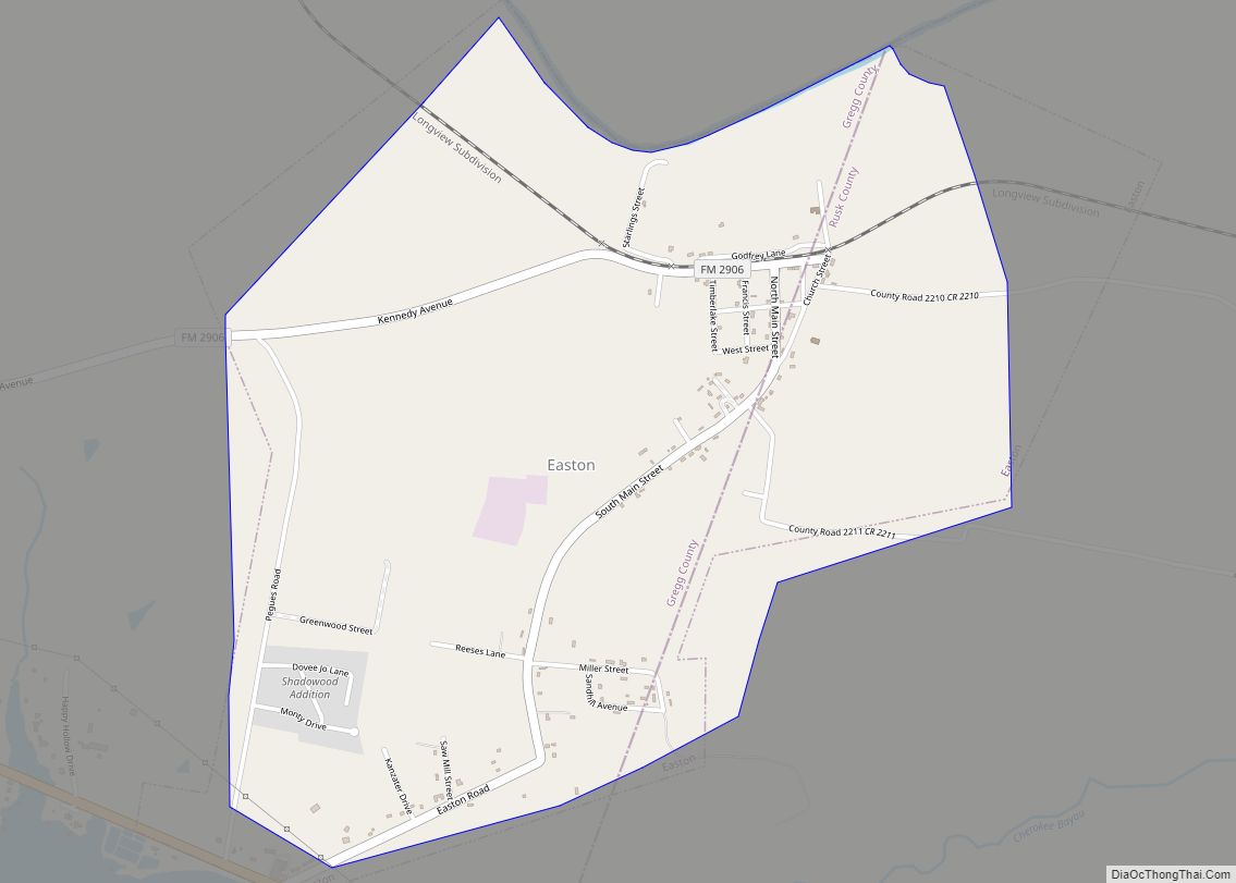
- Easton (partly in Rusk County)
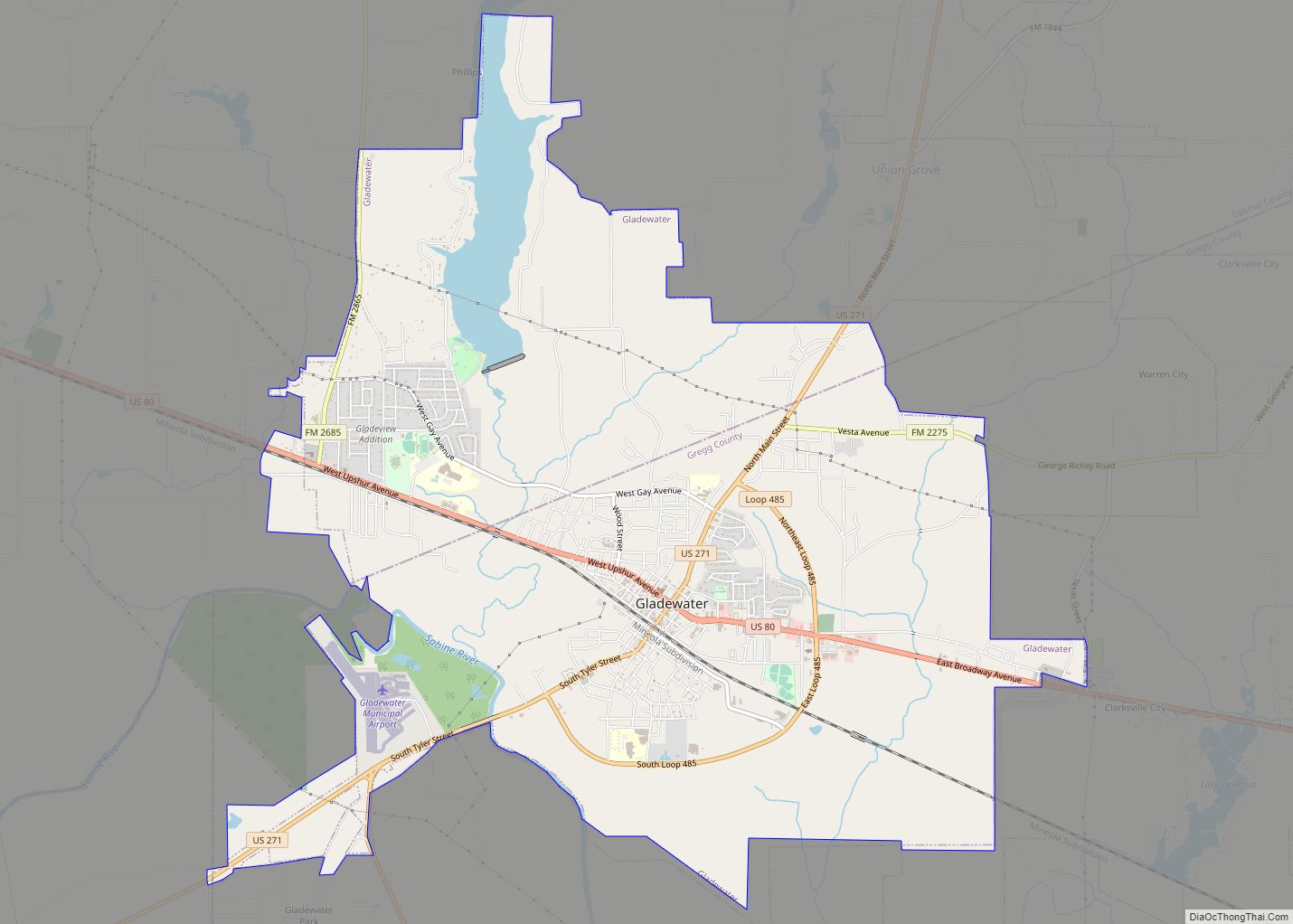
- Gladewater (partly in Upshur County)
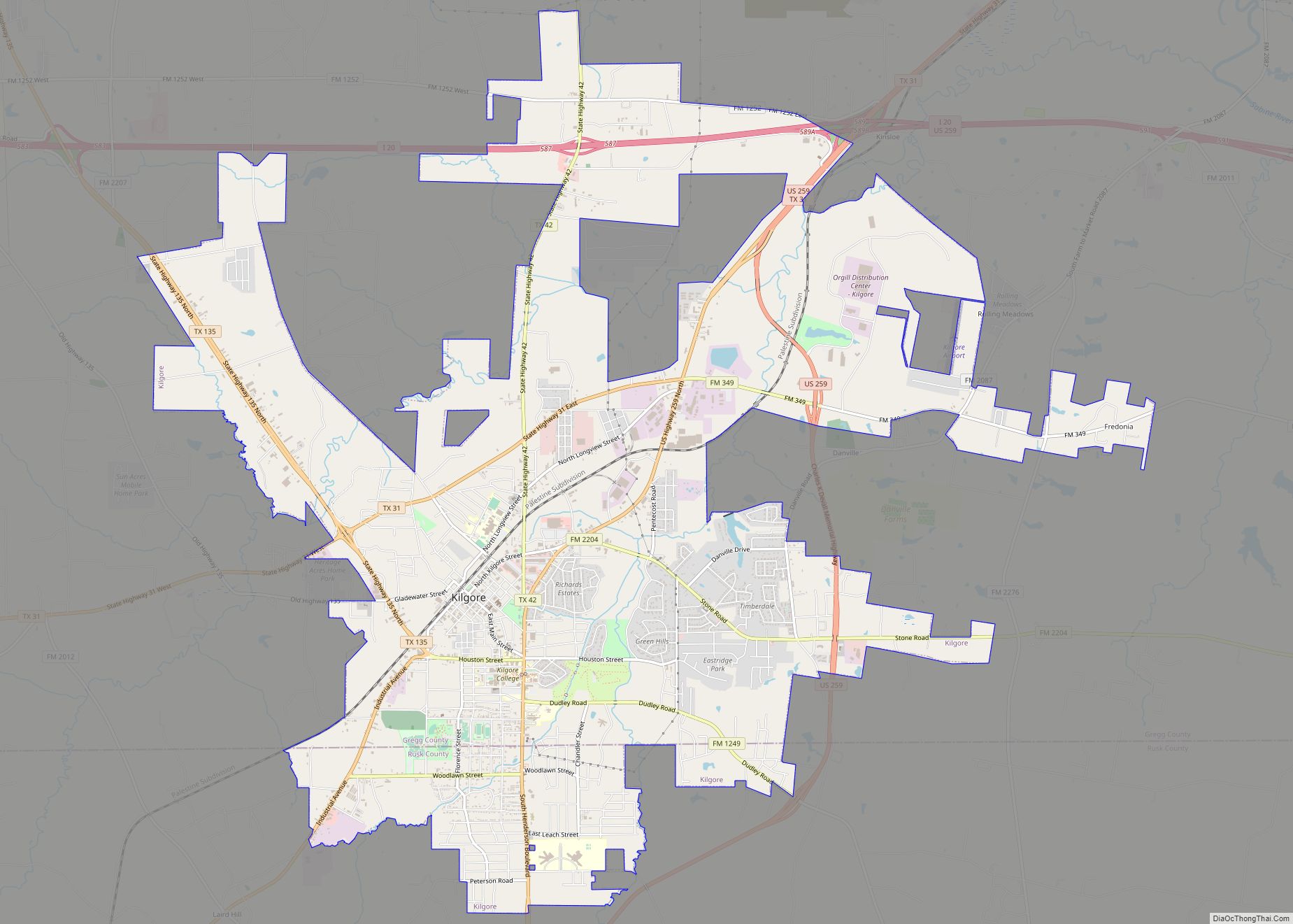
- Kilgore (small part in Rusk County)
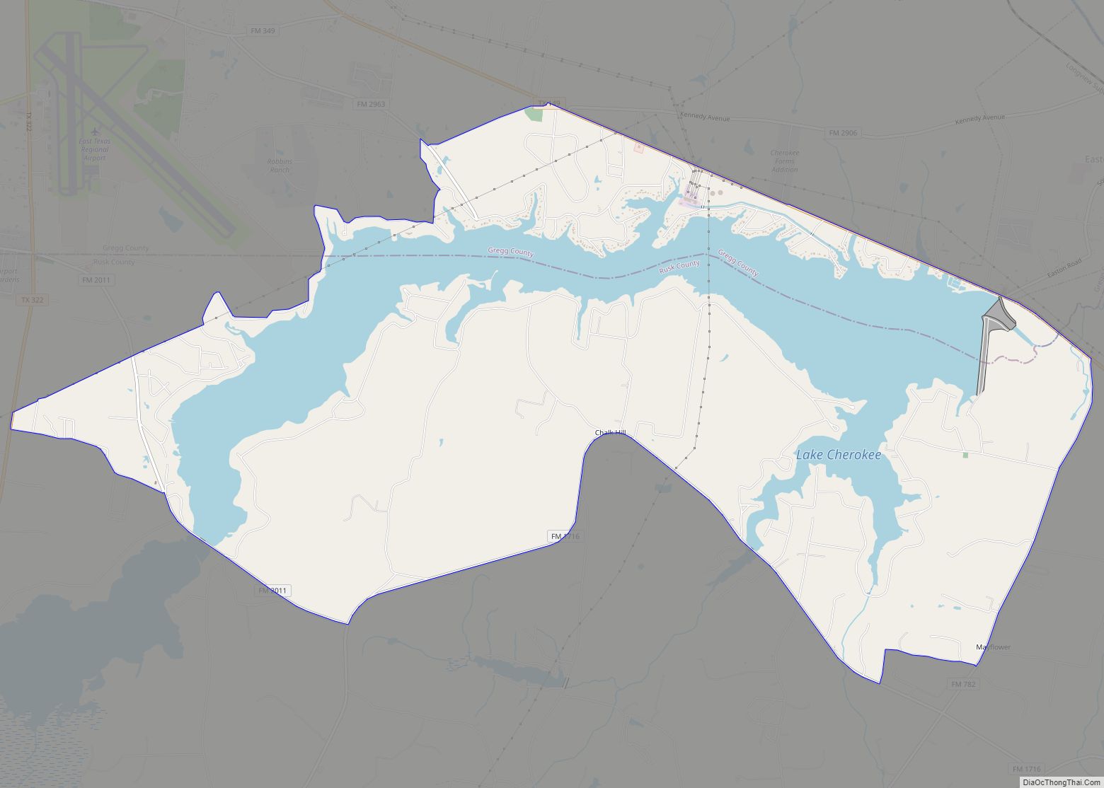
- Lakeport
- Longview (small part in Harrison County)
- Warren City (small part in Upshur County)
- White Oak
- Danville
- Elderville
- Fredonia
- Gladewater Park
- Judson
- Kinsloe
- Seven Pines
- Shiloh
- Teneryville
- Greggton – annexed to Longview in the 1950s
- Spring Hill – annexed to Longview on October 7, 1983
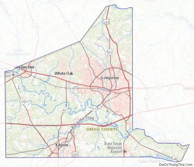
Gregg County Topographic Map
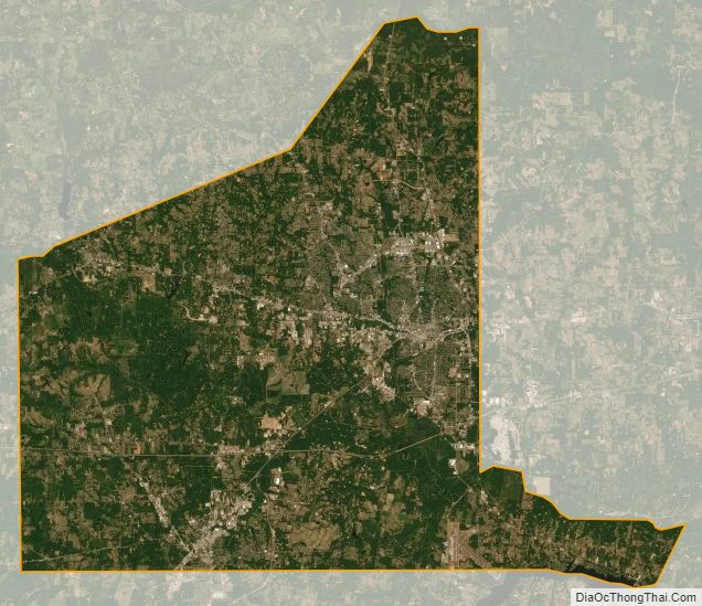
Gregg County Satellite Map
Gregg County Outline Map