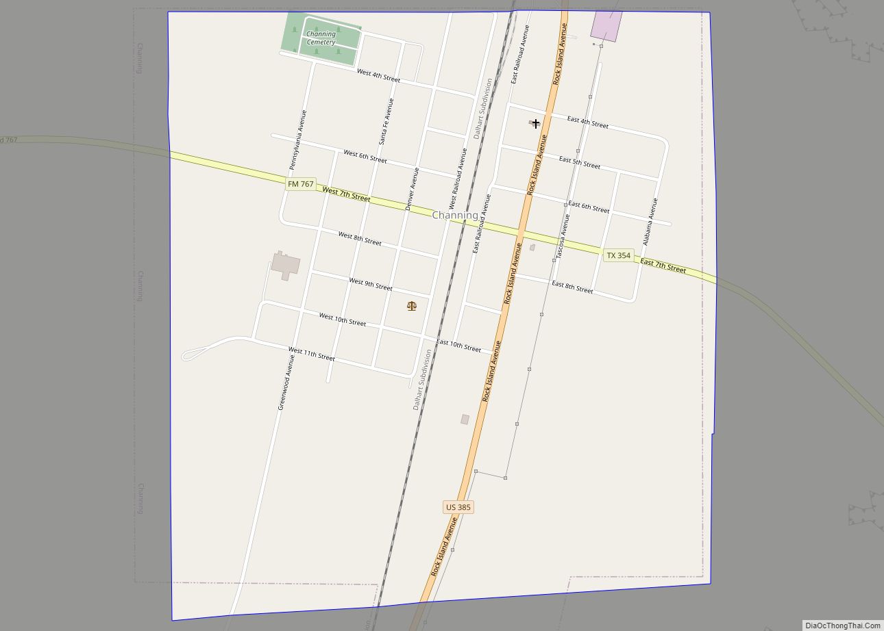
Hartley is a census-designated place (CDP) in Hartley County, Texas, United States. The population was 540 at the 2010 census.
| Name: | Hartley CDP |
|---|---|
| LSAD Code: | 57 |
| LSAD Description: | CDP (suffix) |
| State: | Texas |
| County: | Hartley County |
| Elevation: | 3,908 ft (1,191 m) |
| Total Area: | 7.0 sq mi (18.1 km²) |
| Land Area: | 7.0 sq mi (18.1 km²) |
| Water Area: | 0.0 sq mi (0.0 km²) |
| Total Population: | 540 |
| Population Density: | 77.14/sq mi (29.8/km²) |
| ZIP code: | 79044 |
| Area code: | 806 |
| FIPS code: | 4832612 |
| GNISfeature ID: | 1358876 |
Online Interactive Map
Click on ![]() to view map in "full screen" mode.
to view map in "full screen" mode.
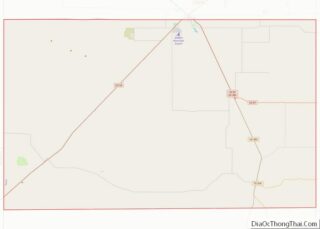
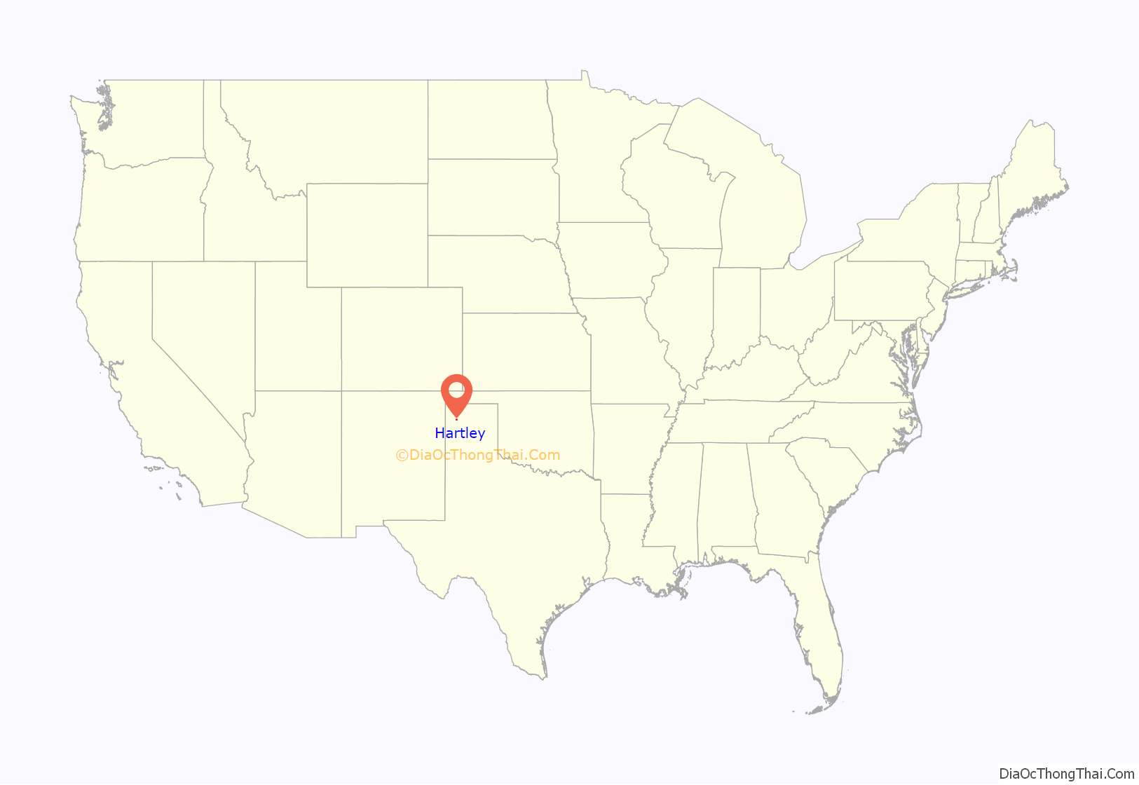
Hartley location map. Where is Hartley CDP?
History
In 1832, John Charles Beales and Jose Manuel Royella were granted the section where Hartley is now located under colonization laws of Mexico and Texas. They represented the Arkansas and Texas Land Company; however, they failed to colonize this territory and they forfeited their rights.
In 1875, the Texas Legislature passed an act which allowed contractors to clear one mile of the river Sabine, Angeline, and Neches, and the Pine Island Bayou in exchange for land grants. The contractors were required to survey the land, return field notes to the Land Commissioner and request him to number the sections. The contractors then received a deed to the uneven numbered sections with the State retaining the even-numbered ones as school lands. The field notes of Beaty, Seale, and Forwood were filed November 17, 1875. The only other deeds registered in the county prior to 1884 were those of the Fort Worth and Denver Railroad, Brooks and Burleson, Gunter and Burleson and W.M. Lee. On July 1, 1888, Beaty, Seale, and Forwood sold Section 23 to James A. Hudson of Logan County, Illinois and John A. Lutz of New York for $10,000.00. They sold the right of way to the Fort Worth and Denver Railroad July 1, 1888.
Many changes occurred in a very short time. Handbills were distributed throughout the eastern and southern states by the owners who were anxious to turn Hartley into a booming metropolis. Section 23 was plotted into lots and registered with the Land Commissioner of Texas. A tent city came into being and grew rapidly as people came with high expectations and determination to make for themselves a new life in a new land.
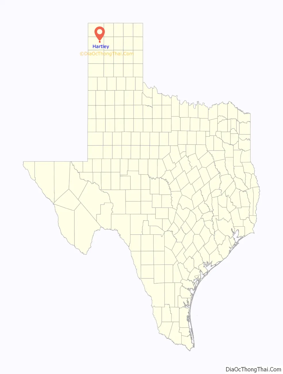
Hartley Road Map

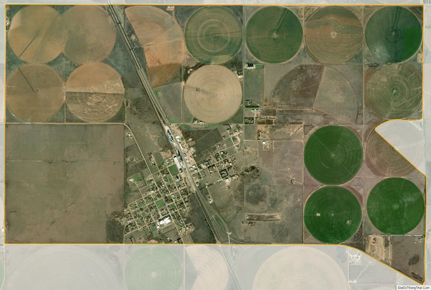
Hartley city Satellite Map
Geography
Hartley is located at 35°53′4″N 102°23′54″W / 35.88444°N 102.39833°W / 35.88444; -102.39833 (35.884358, -102.398395).
According to the United States Census Bureau, the CDP has a total area of 7.0 square miles (18 km), all of it land.
See also
Map of Texas State and its subdivision:- Anderson
- Andrews
- Angelina
- Aransas
- Archer
- Armstrong
- Atascosa
- Austin
- Bailey
- Bandera
- Bastrop
- Baylor
- Bee
- Bell
- Bexar
- Blanco
- Borden
- Bosque
- Bowie
- Brazoria
- Brazos
- Brewster
- Briscoe
- Brooks
- Brown
- Burleson
- Burnet
- Caldwell
- Calhoun
- Callahan
- Cameron
- Camp
- Carson
- Cass
- Castro
- Chambers
- Cherokee
- Childress
- Clay
- Cochran
- Coke
- Coleman
- Collin
- Collingsworth
- Colorado
- Comal
- Comanche
- Concho
- Cooke
- Coryell
- Cottle
- Crane
- Crockett
- Crosby
- Culberson
- Dallam
- Dallas
- Dawson
- Deaf Smith
- Delta
- Denton
- Dewitt
- Dickens
- Dimmit
- Donley
- Duval
- Eastland
- Ector
- Edwards
- El Paso
- Ellis
- Erath
- Falls
- Fannin
- Fayette
- Fisher
- Floyd
- Foard
- Fort Bend
- Franklin
- Freestone
- Frio
- Gaines
- Galveston
- Garza
- Gillespie
- Glasscock
- Goliad
- Gonzales
- Gray
- Grayson
- Gregg
- Grimes
- Guadalupe
- Hale
- Hall
- Hamilton
- Hansford
- Hardeman
- Hardin
- Harris
- Harrison
- Hartley
- Haskell
- Hays
- Hemphill
- Henderson
- Hidalgo
- Hill
- Hockley
- Hood
- Hopkins
- Houston
- Howard
- Hudspeth
- Hunt
- Hutchinson
- Irion
- Jack
- Jackson
- Jasper
- Jeff Davis
- Jefferson
- Jim Hogg
- Jim Wells
- Johnson
- Jones
- Karnes
- Kaufman
- Kendall
- Kenedy
- Kent
- Kerr
- Kimble
- King
- Kinney
- Kleberg
- Knox
- La Salle
- Lamar
- Lamb
- Lampasas
- Lavaca
- Lee
- Leon
- Liberty
- Limestone
- Lipscomb
- Live Oak
- Llano
- Loving
- Lubbock
- Lynn
- Madison
- Marion
- Martin
- Mason
- Matagorda
- Maverick
- McCulloch
- McLennan
- McMullen
- Medina
- Menard
- Midland
- Milam
- Mills
- Mitchell
- Montague
- Montgomery
- Moore
- Morris
- Motley
- Nacogdoches
- Navarro
- Newton
- Nolan
- Nueces
- Ochiltree
- Oldham
- Orange
- Palo Pinto
- Panola
- Parker
- Parmer
- Pecos
- Polk
- Potter
- Presidio
- Rains
- Randall
- Reagan
- Real
- Red River
- Reeves
- Refugio
- Roberts
- Robertson
- Rockwall
- Runnels
- Rusk
- Sabine
- San Augustine
- San Jacinto
- San Patricio
- San Saba
- Schleicher
- Scurry
- Shackelford
- Shelby
- Sherman
- Smith
- Somervell
- Starr
- Stephens
- Sterling
- Stonewall
- Sutton
- Swisher
- Tarrant
- Taylor
- Terrell
- Terry
- Throckmorton
- Titus
- Tom Green
- Travis
- Trinity
- Tyler
- Upshur
- Upton
- Uvalde
- Val Verde
- Van Zandt
- Victoria
- Walker
- Waller
- Ward
- Washington
- Webb
- Wharton
- Wheeler
- Wichita
- Wilbarger
- Willacy
- Williamson
- Wilson
- Winkler
- Wise
- Wood
- Yoakum
- Young
- Zapata
- Zavala
- Alabama
- Alaska
- Arizona
- Arkansas
- California
- Colorado
- Connecticut
- Delaware
- District of Columbia
- Florida
- Georgia
- Hawaii
- Idaho
- Illinois
- Indiana
- Iowa
- Kansas
- Kentucky
- Louisiana
- Maine
- Maryland
- Massachusetts
- Michigan
- Minnesota
- Mississippi
- Missouri
- Montana
- Nebraska
- Nevada
- New Hampshire
- New Jersey
- New Mexico
- New York
- North Carolina
- North Dakota
- Ohio
- Oklahoma
- Oregon
- Pennsylvania
- Rhode Island
- South Carolina
- South Dakota
- Tennessee
- Texas
- Utah
- Vermont
- Virginia
- Washington
- West Virginia
- Wisconsin
- Wyoming