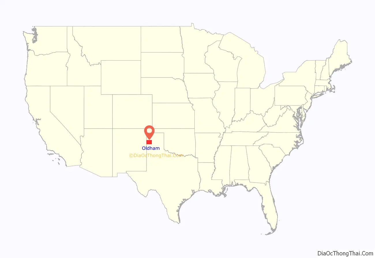
Oldham County is a county located in the U.S. state of Texas. As of the 2020 census, its population was 1,758. Its county seat is Vega. The county was created in 1876 and organized in 1881. Oldham County is included in the Amarillo, TX Metropolitan Statistical Area.
| Name: | Oldham County |
|---|---|
| FIPS code: | 48-359 |
| State: | Texas |
| Founded: | 1881 |
| Seat: | Vega |
| Largest city: | Vega |
| Total Area: | 1,501 sq mi (3,890 km²) |
| Land Area: | 1,501 sq mi (3,890 km²) |
| Total Population: | 1,758 |
| Population Density: | 1.2/sq mi (0.45/km²) |
| Time zone: | UTC−6 (Central) |
| Summer Time Zone (DST): | UTC−5 (CDT) |
| Website: | www.co.oldham.tx.us |
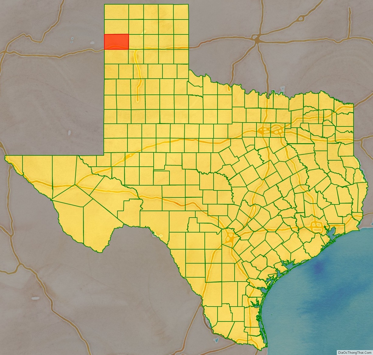
Oldham County location map. Where is Oldham County?
History
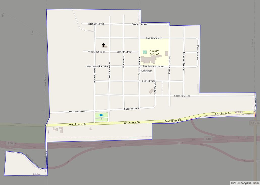
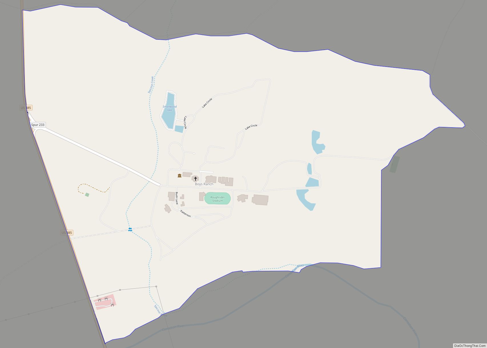
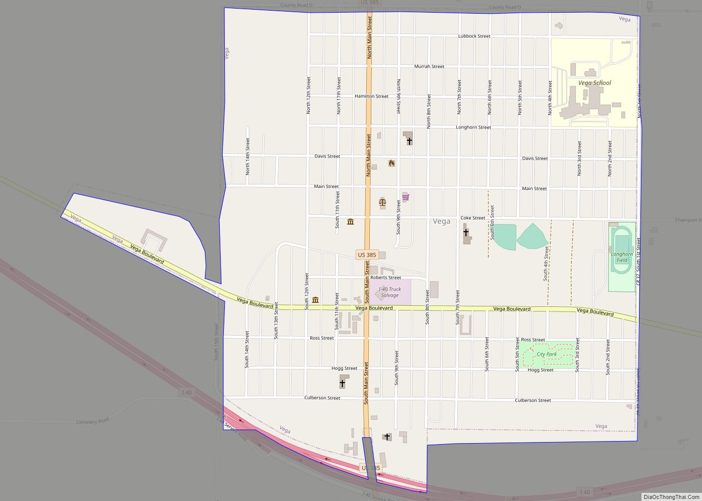
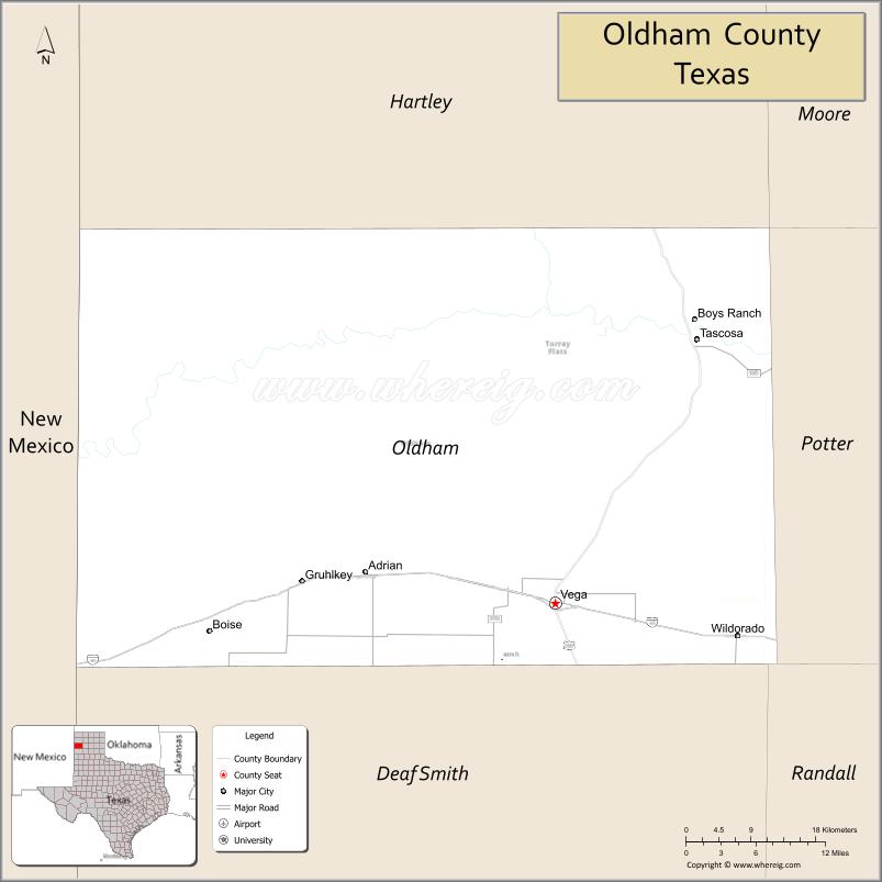
Oldham County was formed in 1876 and organized in 1881, and named for Williamson Simpson Oldham, Sr., a Texas pioneer and Confederate Senator. At the time of its organization, about half of the county was a part of the XIT Ranch. The county seat was originally at the town of Tascosa, Texas, which in the 1880s was one of the largest towns in the Panhandle. As the railroads came through the county, however, they bypassed Tascosa; several new towns and farms sprang up along the rail lines, and by 1915 Tascosa had a courthouse and almost no residents; the county seat was moved to Vega that year. Oldham County is primarily ranch and farm land, with many thousands of acres planted in wheat, the major crop. The county also has some petroleum production and large wind farms.
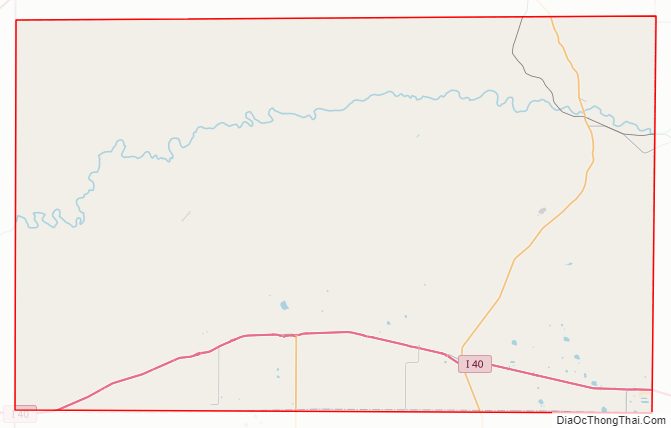
Oldham County Road Map
Geography
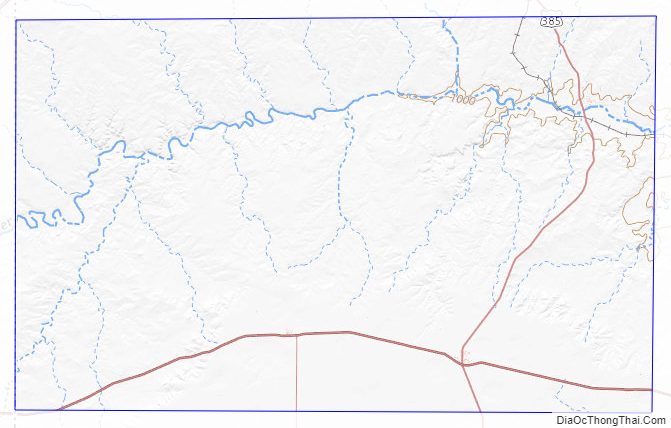
According to the U.S. Census Bureau, the county has a total area of 1,501 square miles (3,890 km), of which 1,501 square miles (3,890 km) is land and 0.9 square miles (2.3 km) (0.06%) is water. A southern strip of the county, including the county seat Vega, is located on top of the Llano Estacado (Staked Plains). The next approximately 12 miles slope down to the Canadian River. The former county seat of Tascosa is located at a crossing of the Canadian River north of Vega. The terrain then slopes up from the Canadian River, passing the county line at approximately 6 miles and reaching the top of the High Plains a further four miles north.
Border dispute with New Mexico
For years there has been a simmering dispute over a strip of land running north and south, including an abandoned part of Glenrio at the west end of Oldham County, as to which state it is lawfully a part of. The border between the two states was originally defined as the 103rd meridian, but the 1859 survey that was supposed to mark that boundary mistakenly set the border between 2.29 and 3.77 miles too far west of that line, making the current towns of Farwell, Texline and the east part of Glenrio appear to be within the State of Texas. New Mexico’s short border with Oklahoma, in contrast, was surveyed on the correct meridian. New Mexico’s draft constitution in 1910 stated that the border is on the 103rd meridian as intended. The disputed strip, hundreds of miles long, includes parts of valuable oilfields of the Permian Basin. A bill was passed in the New Mexico Senate to fund and file a lawsuit in the U.S. Supreme Court to recover the strip from Texas, but the bill did not become law.
The question was once settled in favor of Texas by the intervention of President William Howard Taft at the request of Senator John Villiers Farwell, whose three-million-acre XIT Ranch would have been diminished by New Mexico’s claim. With Taft’s support, on February 16, 1911, the Joint Resolution of Congress on admitting New Mexico as a state declared that any provision of New Mexico’s constitution that “…in any way tends to annul or change the boundary lines between the State of Texas and Territory of New Mexico shall be of no force and effect.”
Today, land in the strip is included in Texas land surveys, and the land and towns (the east part of Glenrio in Deaf Smith and Oldham Counties) for all purposes are taxed and governed by the State of Texas.
Major highways
- Interstate 40
- Business Loop Interstate 40 / U.S. Highway 66
- U.S. Highway 385
- State Highway 214
Adjacent counties
- Hartley County (north)
- Moore County (northeast)
- Potter County (east)
- Deaf Smith County (south)
- Quay County, New Mexico (west/Mountain Time Zone)
- Randall County (southeast)
Oldham County Topographic Map
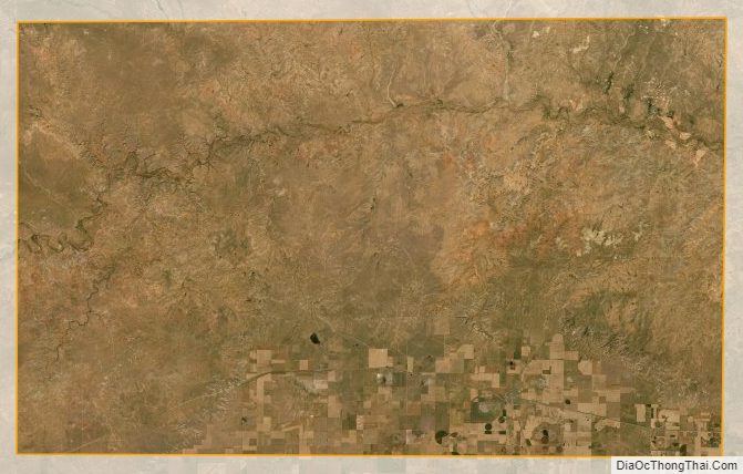
Oldham County Satellite Map
Oldham County Outline Map