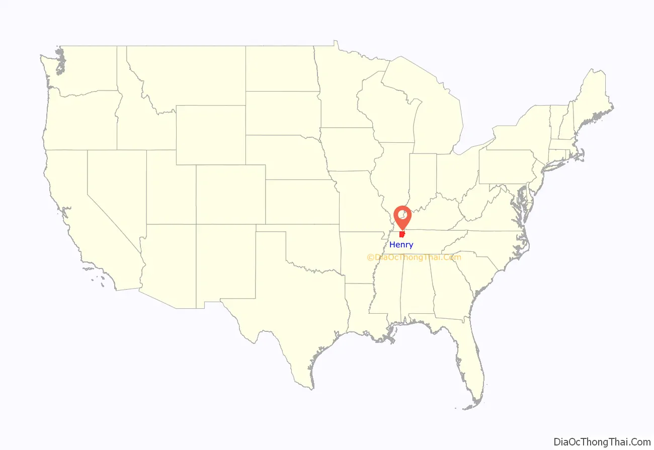
Henry County is a county located on the northwestern border of the U.S. state of Tennessee, and is considered part of West Tennessee. As of the 2020 census, the population was 32,199. Its county seat is Paris. The county is named for the Virginia orator and American Founding Father Patrick Henry.
Henry County comprises the Paris, TN Micropolitan Statistical Area. West Tennessee lands and commodity culture were associated with the lowlands and delta of the Mississippi River, which created fertile areas that supported cotton culture. During the antebellum era, numerous enslaved African Americans provided labor for the cotton plantations.
| Name: | Henry County |
|---|---|
| FIPS code: | 47-079 |
| State: | Tennessee |
| Founded: | 1821 |
| Named for: | Patrick Henry |
| Seat: | Paris |
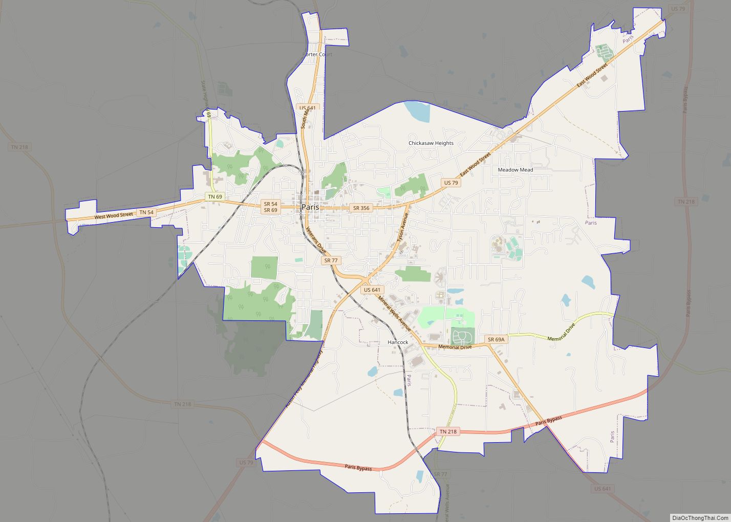
| Largest city: | Paris |
| Total Area: | 593 sq mi (1,540 km²) |
| Land Area: | 562 sq mi (1,460 km²) |
| Total Population: | 32,199 |
| Population Density: | 58/sq mi (22/km²) |
| Time zone: | UTC−6 (Central) |
| Summer Time Zone (DST): | UTC−5 (CDT) |
| Website: | henryco.com |
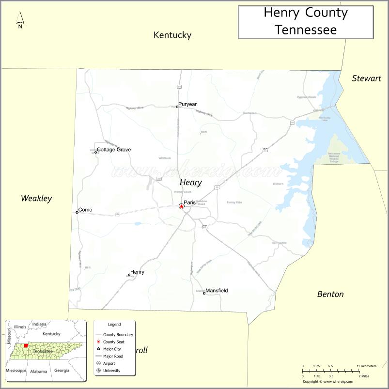
Henry County location map. Where is Henry County?
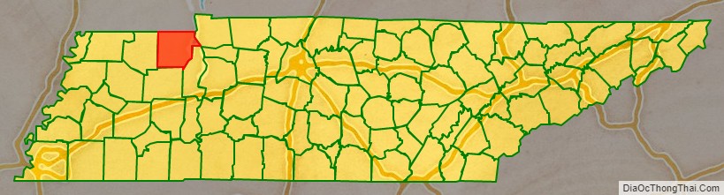
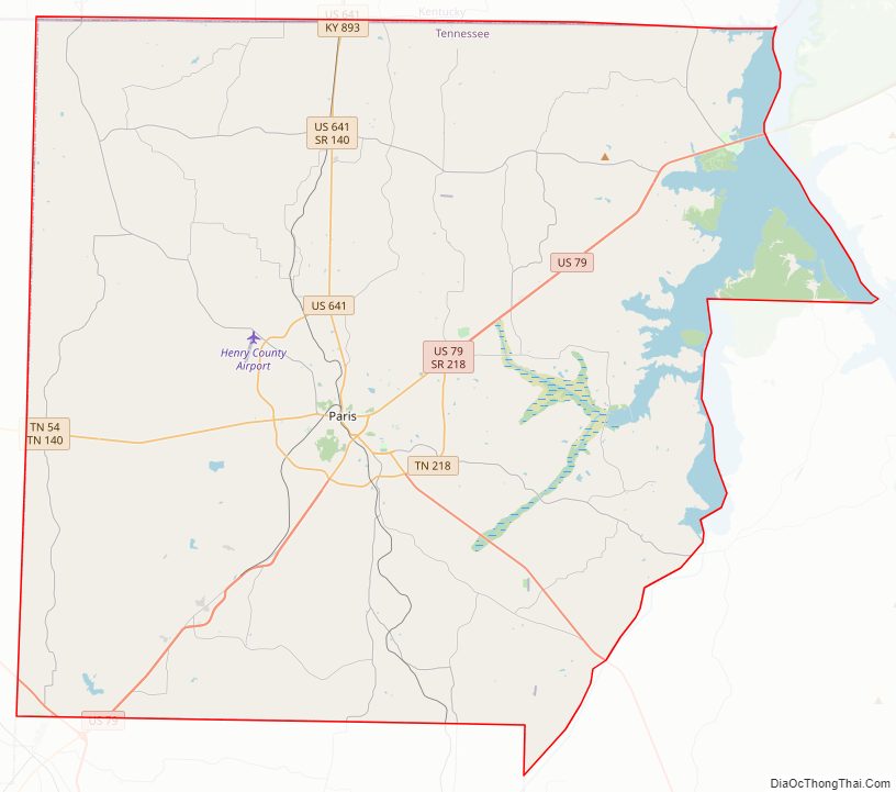
Henry County Road Map
Geography
According to the U.S. Census Bureau, the county has a total area of 593 square miles (1,540 km), of which 562 square miles (1,460 km) are land and 31 square miles (80 km) (5.3%) are covered by water.
Adjacent counties
- Calloway County, Kentucky (north)
- Stewart County (northeast)
- Benton County (southeast)
- Carroll County (south)
- Weakley County (west)
- Graves County, Kentucky (northwest)
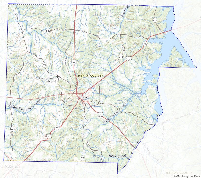
National protected area
- Tennessee National Wildlife Refuge (part)
State protected areas
- Big Sandy Wildlife Management Area (part)
- Holly Fork Wildlife Management Area
- Paris Landing State Park
- West Sandy Wildlife Management Area
Henry County Topographic Map
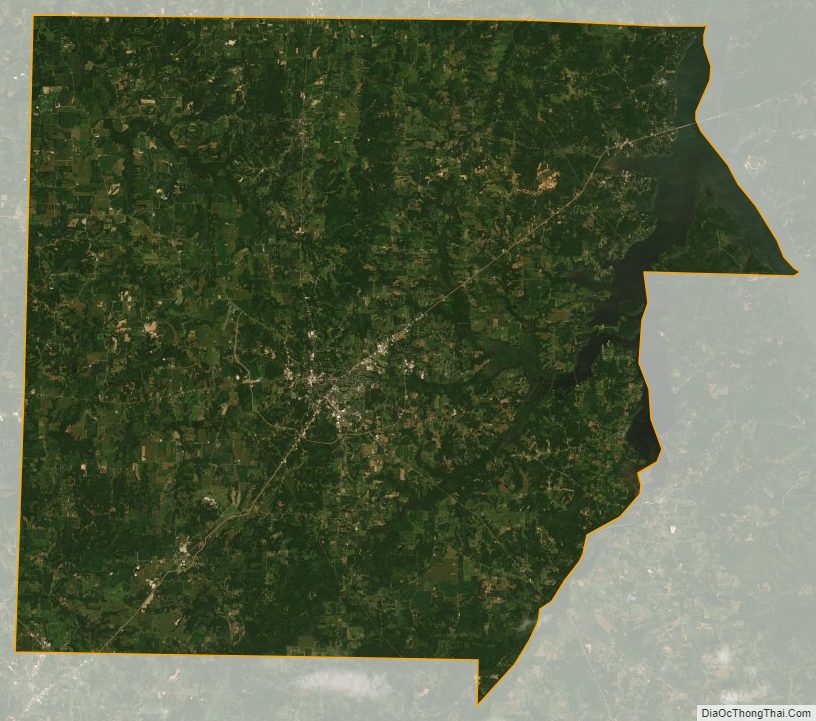
Henry County Satellite Map
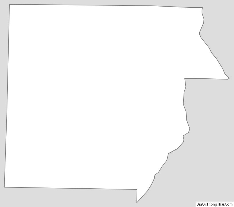
Henry County Outline Map