Brooksville is a city in and the county seat of Hernando County, Florida, United States. As of the 2010 census it had a population of 7,719, up from 7,264 at the 2000 census. Brooksville is home to historic buildings and residences, including the homes of former Florida Governor William Sherman Jennings and football player Jerome Brown. It is part of the Tampa-St. Petersburg-Clearwater, Florida Metropolitan Statistical Area.
Brooksville, established in 1856 by the merger of the towns of Melendez and Pierceville, took its name to honor and show support for Preston Brooks, a pro-slavery congressman from South Carolina who caned and seriously injured Massachusetts Senator and abolitionist Charles Sumner.
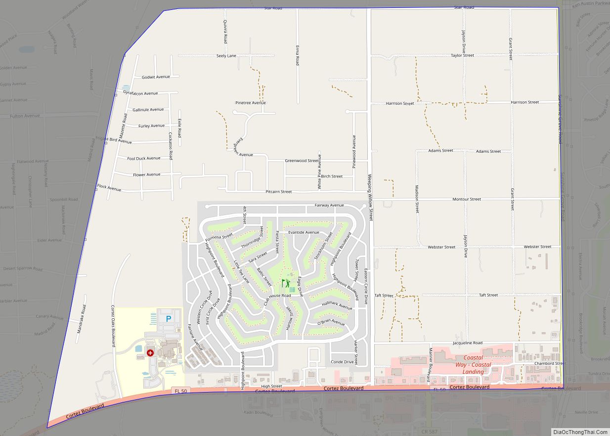
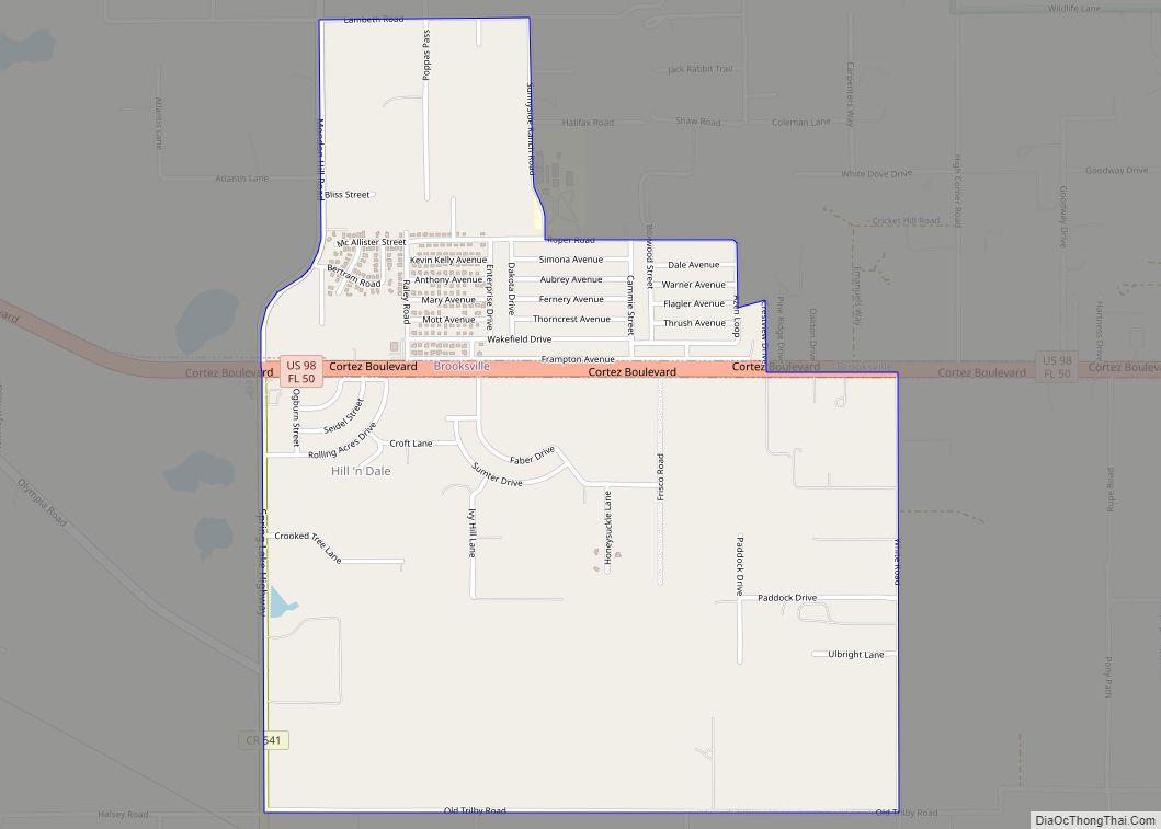
| Name: | Brooksville city |
|---|---|
| LSAD Code: | 25 |
| LSAD Description: | city (suffix) |
| State: | Florida |
| County: | Hernando County |
| Elevation: | 194 ft (59 m) |
| Total Area: | 11.28 sq mi (29.22 km²) |
| Land Area: | 11.18 sq mi (28.97 km²) |
| Water Area: | 0.10 sq mi (0.25 km²) |
| Total Population: | 8,890 |
| Population Density: | 794.89/sq mi (306.91/km²) |
| Area code: | 352 |
| FIPS code: | 1208800 |
| GNISfeature ID: | 0279446 |
| Website: | www.cityofbrooksville.us |
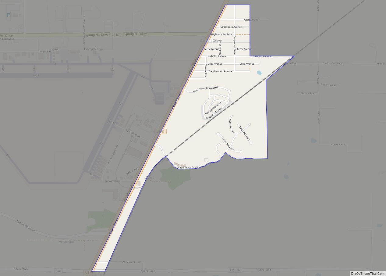
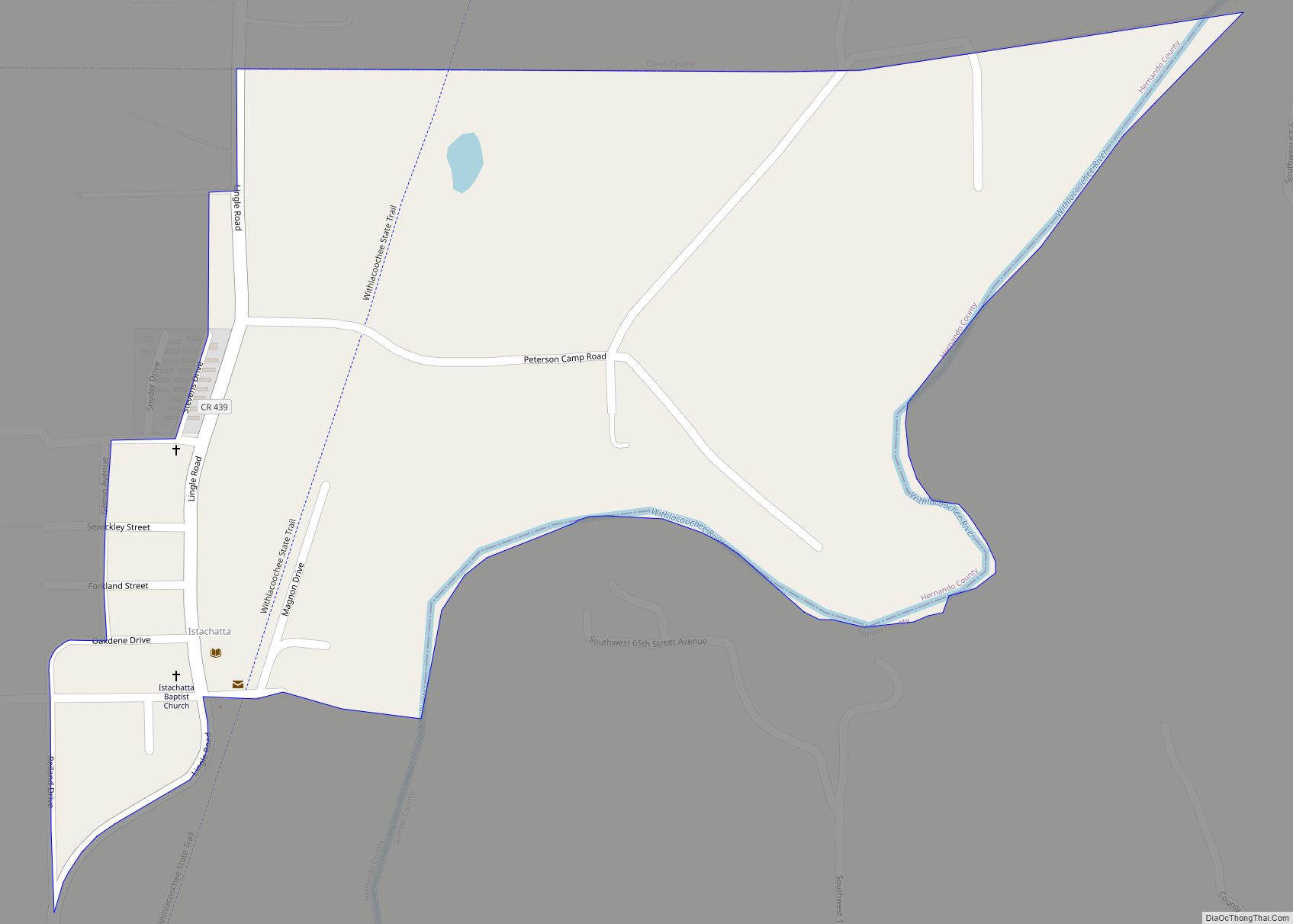
Online Interactive Map
Click on ![]() to view map in "full screen" mode.
to view map in "full screen" mode.
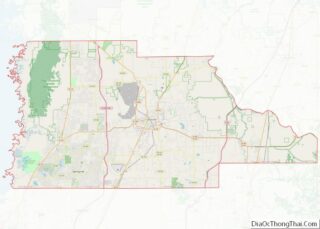
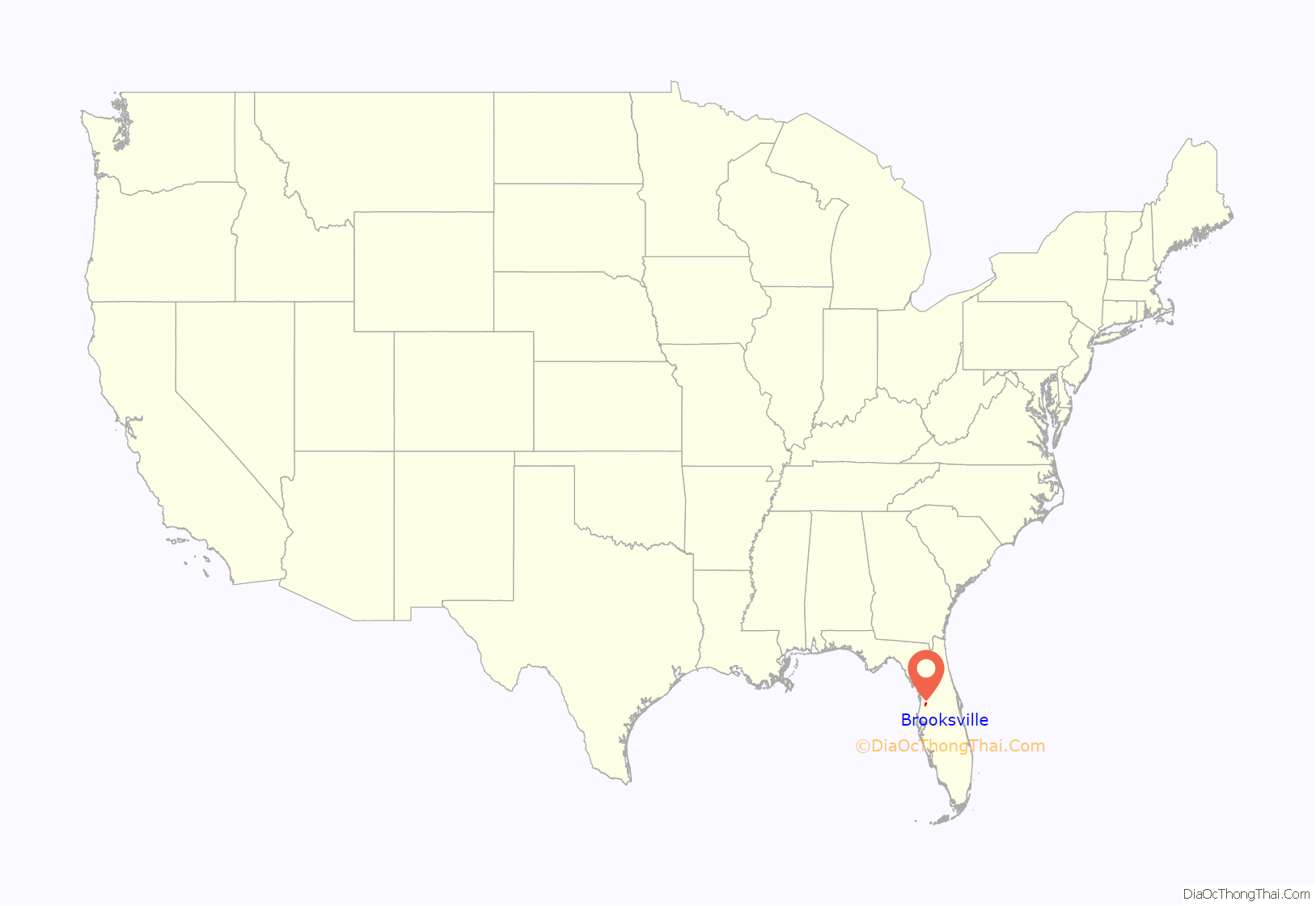
Brooksville location map. Where is Brooksville city?

History
19th century
Fort DeSoto, established about 1840 to give protection to settlers from Native Americans, was located at the northeastern edge of present-day Brooksville on Croom Road about one-half mile east of U.S. Highway 41. The fort was also a trading post and a regular stop on the Concord stagecoach line which ran from Palatka to Tampa.
The fort was built on top of a heavy bed of limestone, a fact which they were unaware of at the time. This made it exceedingly difficult to obtain water, thus causing the location to be abandoned.
On September 12, 1842, Seminole Indians attacked the McDaniel party which was riding near the settlement known as “Chocochatti” or “Chocachatti”, south of Brooksville, killing Mrs. Charlotte Crum (née Winn/Wynn; 1792–1842).
Brooksville was settled in 1845 by four families: the Howell family which settled the northern part of town; the Mays family which settled the eastern part of town; the Hale family on the west; and the Parsons family on the south. In the early 1840s the population shifted about 3 miles (5 km) to the south, where a settlement formed by the Hope and Saxon families became known as Pierceville. About this time, another community about 2 miles (3 km) northwest of Pierceville, named Melendez, was formed.
In 1850 a post office was established at Melendez, which in 1855 was listed as the Capital of Benton County, now Hernando County. In 1854 it was replaced by a post office at Pierceville. Both towns were situated in the area that would become Brooksville.
In 1856, the town of Brooksville was established by the merger of the towns of Melendez and Pierceville and served as the county seat of Hernando County. The name was chosen to honor Preston Brooks, a congressman who had caned abolitionist Senator Charles Sumner nearly to death in 1856 on the floor of the Senate after Sumner gave an anti-slavery speech and disparaged Brooks’ uncle, Senator Andrew Butler.
The Pierceville post office was renamed Brooksville in 1871. The city of Brooksville was incorporated on October 13, 1880.
A study of lynchings recorded in Hernando County in the late 19th and early 20th centuries revealed it had one of the highest per capita rates of violence against blacks in the United States. In Brooksville, the county seat, several African-Americans were killed in the 1870s and 1920s. Arthur St. Clair, a community leader, was murdered in 1877 after he presided over an interracial marriage. After the murder, the investigation was stymied by local actions to prevent bringing to justice the white men accused in his killing.
Around 1885, there was a brief uprising by blacks, three of whom were killed and many others wounded by whites.
20th century
The 1920s saw a resurgence of Ku Klux Klan activity and lynchings; as a result, many black residents left the area. During the Great Depression, Brooksville suffered from a lack of currency. The school board paid teachers with chits, and Weeks Hardware “accepted chickens and sides of bacon” as payment.
In the 1920s, Brooksville was a major citrus production area and was known as the “Home of the Tangerine”.
In 1948, Brooksville instituted a zoning law segregating neighborhoods. Schools remained segregated until the late 1960s.
One of the most notorious examples of racism in the city was the creation of the “Lewis Plantation and Turpentine Still”, which claimed to show life in African-American rural communities, but in reality contained black residents dressing and acting in grotesque stereotypes as a means of entertaining white tourists.
21st century
Brooksville is a residential-commercial community. There are several modern medical facilities in the area including Bayfront Health Brooksville, Oak Hill Community Hospital, and Bayfront Health Spring Hill. A campus of Pasco–Hernando State College is a mile north of the city limits. The business section includes eleven shopping centers, and Brooksville–Tampa Bay Regional Airport is 6 miles (10 km) south of the city. There are three city parks with walking trails, sports, and picnicking facilities, including a nine-hole golf course.
Jerome Brown, defensive tackle for the Philadelphia Eagles was a graduate of Brooksville’s Hernando High School. In June 1988, he received praise for his calm demeanor as he helped disperse a group of Ku Klux Klan protesters in Brooksville. Brown, and his 12-year-old nephew Gus, died on June 25, 1992, after Brown lost control of his car and crashed into a tree; Brown was 27 years old. In 2000, the Jerome Brown Community Center was opened in Brooksville in memory of Brown.
A minor controversy arose in the summer of 2010 when local media and residents brought attention to the origin of the town’s name, calling it “shameful”. The suggestion was made that the town should change its name in order to distance itself from its pro-slavery history. The idea was opposed by locals and not entertained by the city council. However, the city’s official website did remove a page which discussed the Brooks/Sumner encounter and had cast Brooks in a positive light.
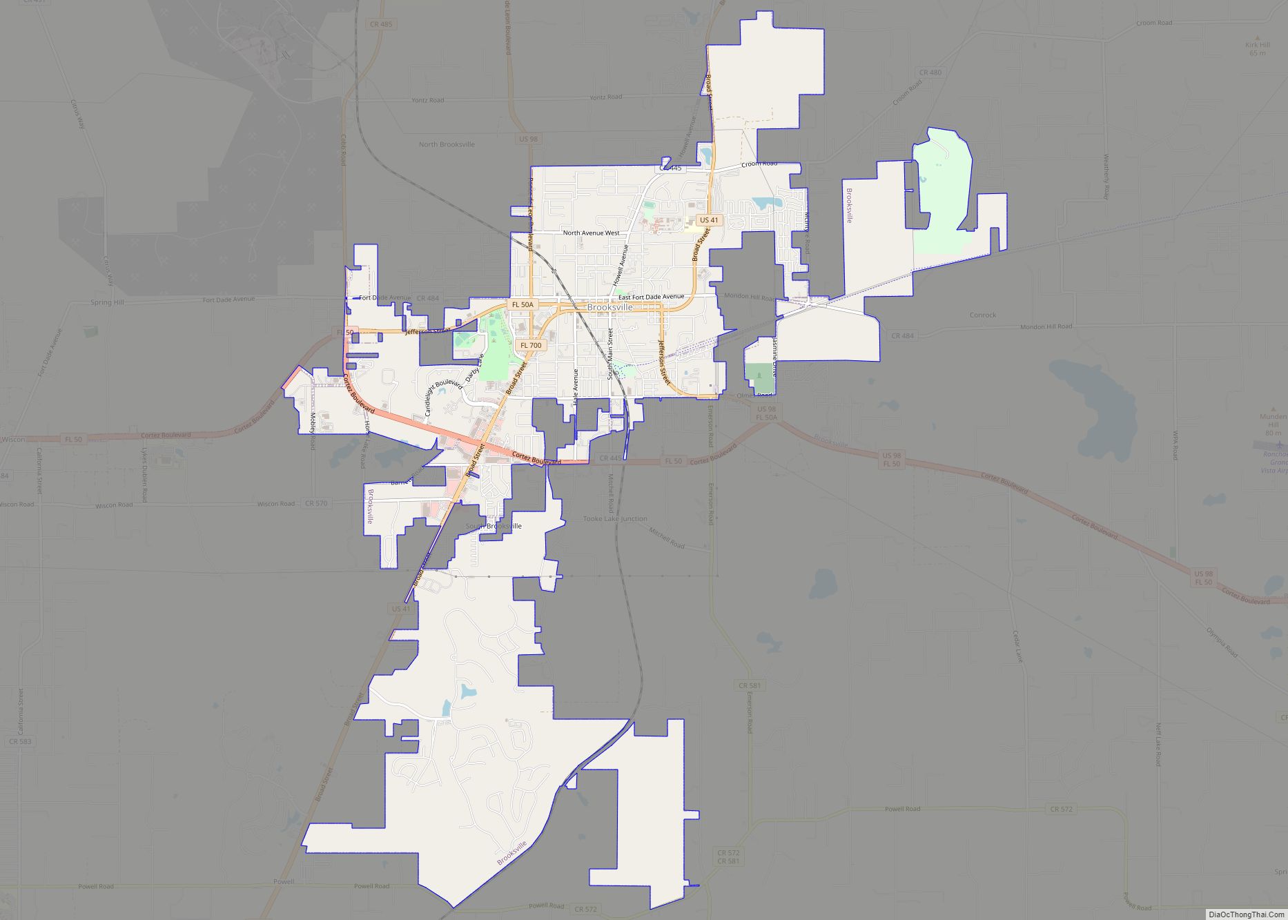
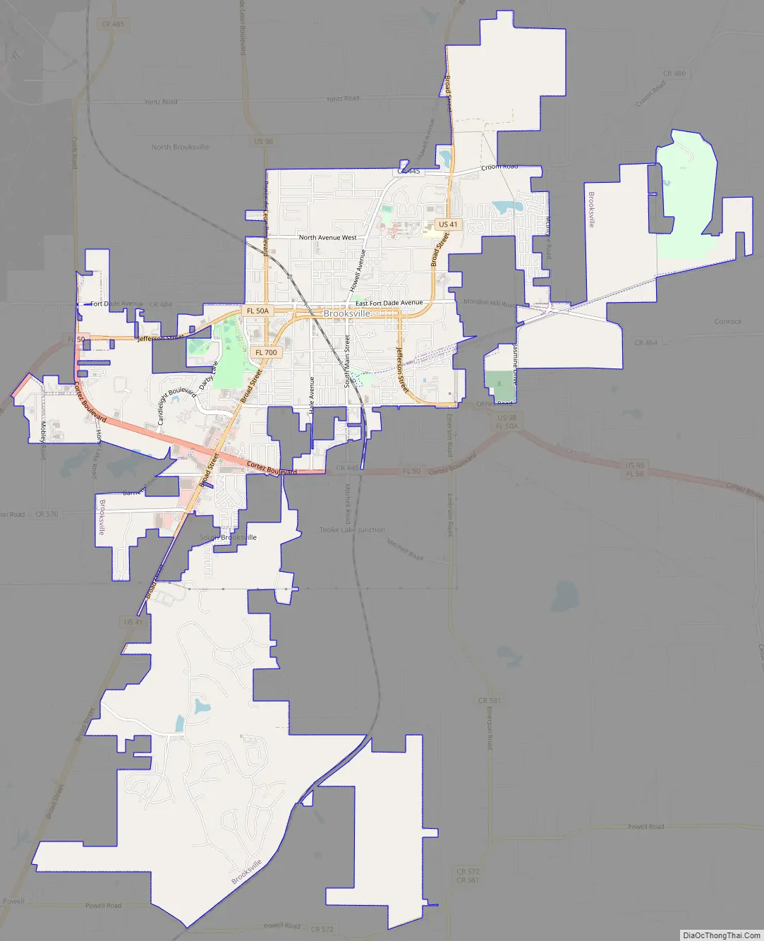
Brooksville Road Map
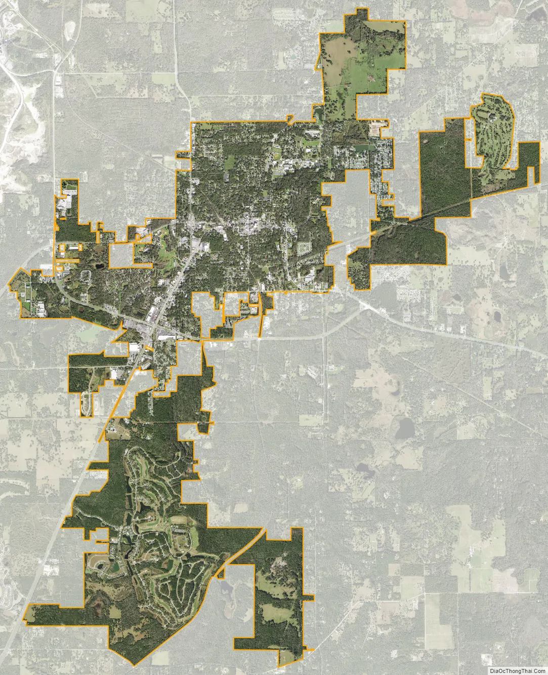
Brooksville city Satellite Map
Geography
Brooksville is located in east-central Hernando County, 45 miles (72 km) north of Tampa and 51 miles (82 km) southwest of Ocala. The geographic center of Florida is 12 miles (19 km) north-northwest of Brooksville.
According to the United States Census Bureau, Brooksville has a total area of 10.9 square miles (28.3 km), of which 10.8 square miles (28.1 km) are land and 0.12 square miles (0.3 km), or 0.90%, are water.
Brooksville is known for its rolling topography with elevations ranging from 100 ft to 180 ft. The highest elevation in the area is Chinsegut Hill, at 269 ft, over five and a half miles north of the city.
Climate
See also
Map of Florida State and its subdivision:- Alachua
- Baker
- Bay
- Bradford
- Brevard
- Broward
- Calhoun
- Charlotte
- Citrus
- Clay
- Collier
- Columbia
- Desoto
- Dixie
- Duval
- Escambia
- Flagler
- Franklin
- Gadsden
- Gilchrist
- Glades
- Gulf
- Hamilton
- Hardee
- Hendry
- Hernando
- Highlands
- Hillsborough
- Holmes
- Indian River
- Jackson
- Jefferson
- Lafayette
- Lake
- Lee
- Leon
- Levy
- Liberty
- Madison
- Manatee
- Marion
- Martin
- Miami-Dade
- Monroe
- Nassau
- Okaloosa
- Okeechobee
- Orange
- Osceola
- Palm Beach
- Pasco
- Pinellas
- Polk
- Putnam
- Saint Johns
- Saint Lucie
- Santa Rosa
- Sarasota
- Seminole
- Sumter
- Suwannee
- Taylor
- Union
- Volusia
- Wakulla
- Walton
- Washington
- Alabama
- Alaska
- Arizona
- Arkansas
- California
- Colorado
- Connecticut
- Delaware
- District of Columbia
- Florida
- Georgia
- Hawaii
- Idaho
- Illinois
- Indiana
- Iowa
- Kansas
- Kentucky
- Louisiana
- Maine
- Maryland
- Massachusetts
- Michigan
- Minnesota
- Mississippi
- Missouri
- Montana
- Nebraska
- Nevada
- New Hampshire
- New Jersey
- New Mexico
- New York
- North Carolina
- North Dakota
- Ohio
- Oklahoma
- Oregon
- Pennsylvania
- Rhode Island
- South Carolina
- South Dakota
- Tennessee
- Texas
- Utah
- Vermont
- Virginia
- Washington
- West Virginia
- Wisconsin
- Wyoming