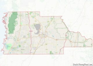
Spring Hill is a census-designated place (CDP) in Hernando County, Florida, United States. The population was 113,568 at the 2020 census, up from 98,621 at the 2010 census. Spring Hill belongs to Florida’s Nature Coast region and is in the Tampa-St. Petersburg-Clearwater metro area. It is east of Hernando Beach, southwest of Brooksville, and north of Tampa.
| Name: | Spring Hill CDP |
|---|---|
| LSAD Code: | 57 |
| LSAD Description: | CDP (suffix) |
| State: | Florida |
| County: | Hernando County |
| Total Area: | 62.30 sq mi (161.36 km²) |
| Land Area: | 59.92 sq mi (155.19 km²) |
| Water Area: | 2.38 sq mi (6.17 km²) |
| Total Population: | 113,568 |
| Population Density: | 1,895.39/sq mi (731.81/km²) |
| ZIP code: | 34604-34610 |
| Area code: | 352 |
| FIPS code: | 1268350 |
| GNISfeature ID: | 0294933 |
Online Interactive Map
Click on ![]() to view map in "full screen" mode.
to view map in "full screen" mode.
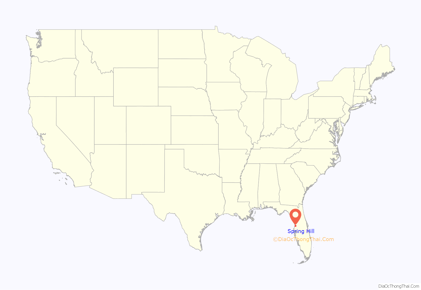
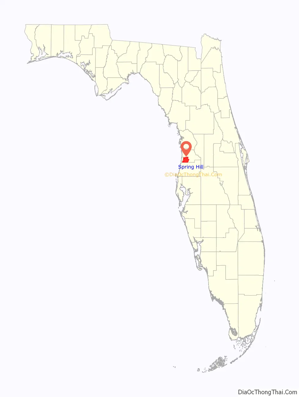
Spring Hill location map. Where is Spring Hill CDP?
History
Spring Hill was formerly a large tract of endangered Longleaf Pine Ecosystem and Sand Pine Scrub with very high biodiversity, and a safe haven for many imperiled species, and most of it remained unchanged until the 1970’s with large scale deforestation. It first appeared on Hernando County maps as early as 1856 along what is today Fort Dade Avenue just north of the community of Wiscon. The modern Spring Hill was founded in 1967 as a planned community, which was developed by the Deltona Corporation and the Mackle Brothers. The developers originally wanted to call the community Spring Lake and used that as the working name through the development process. They were forced to use a different name due to the name Spring Lake already being in use locally and chose Spring Hill. The plans for the community are identical to the community of Deltona. The Mackle Brothers sold many of the properties and land in the area through intense advertising. It has since become a sprawling semi-city in its own right, though it is an unincorporated area. The main entrance to the original development is marked by the Spring Hill waterfall on Spring Hill Drive and U.S. Route 19 (Commercial Way).
Spring Hill’s proximity to Tampa, 40 miles (64 km) to the south, and the completion of the Suncoast Parkway in 2001 have made the community easily accessible to the Tampa-St. Petersburg area.
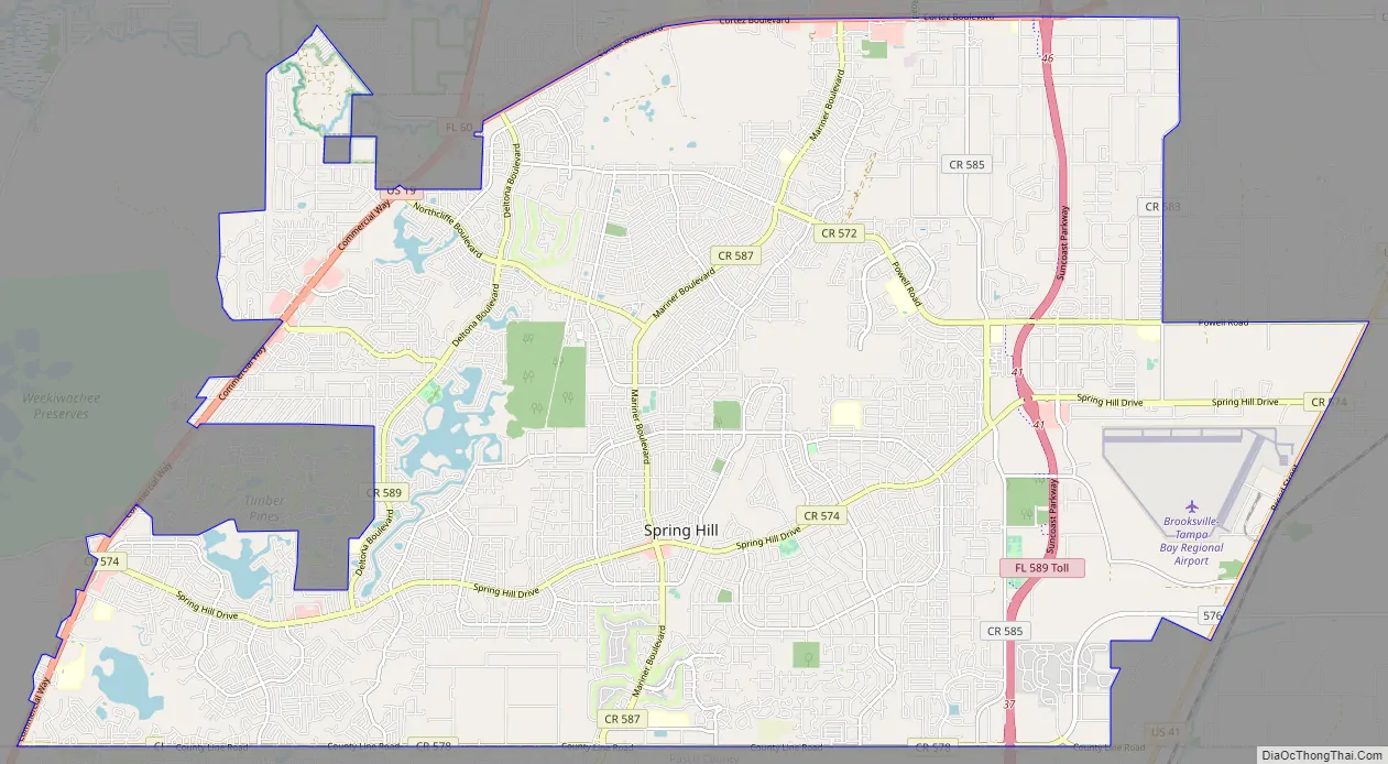
Spring Hill Road Map
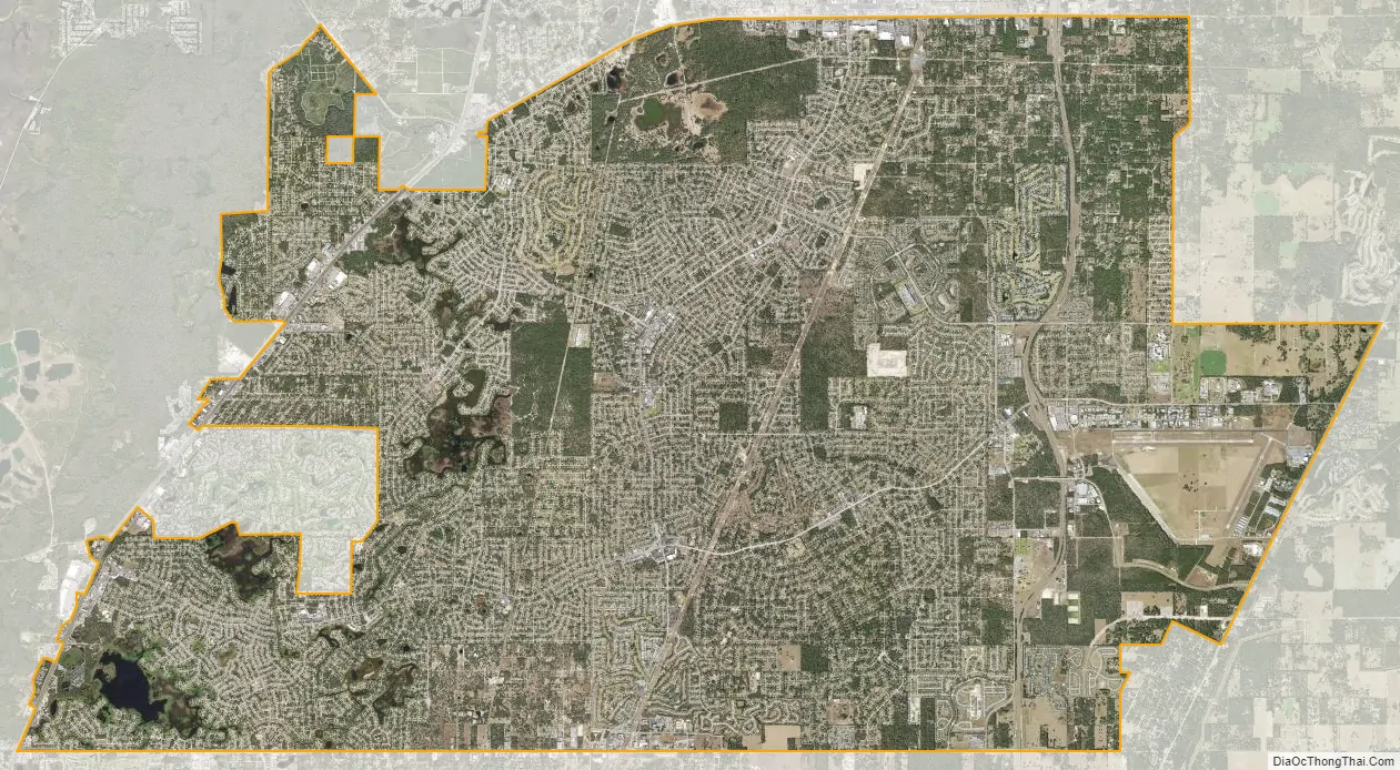
Spring Hill city Satellite Map
Geography
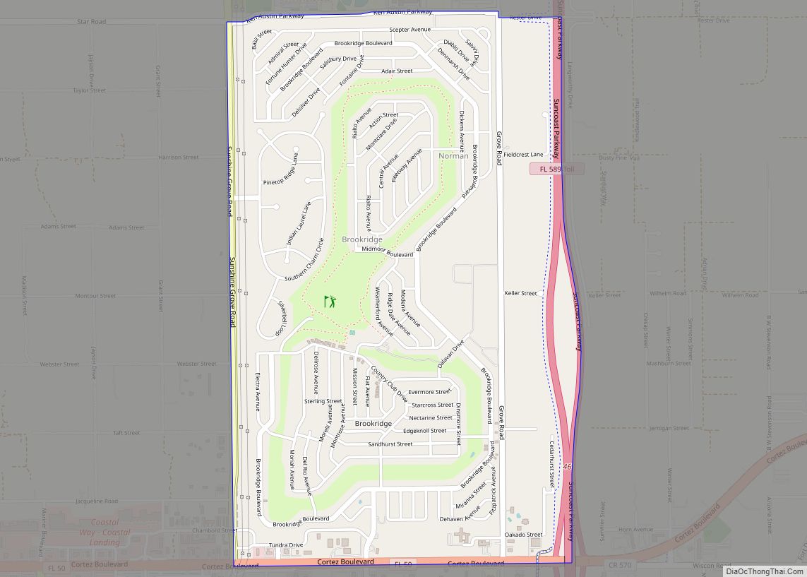
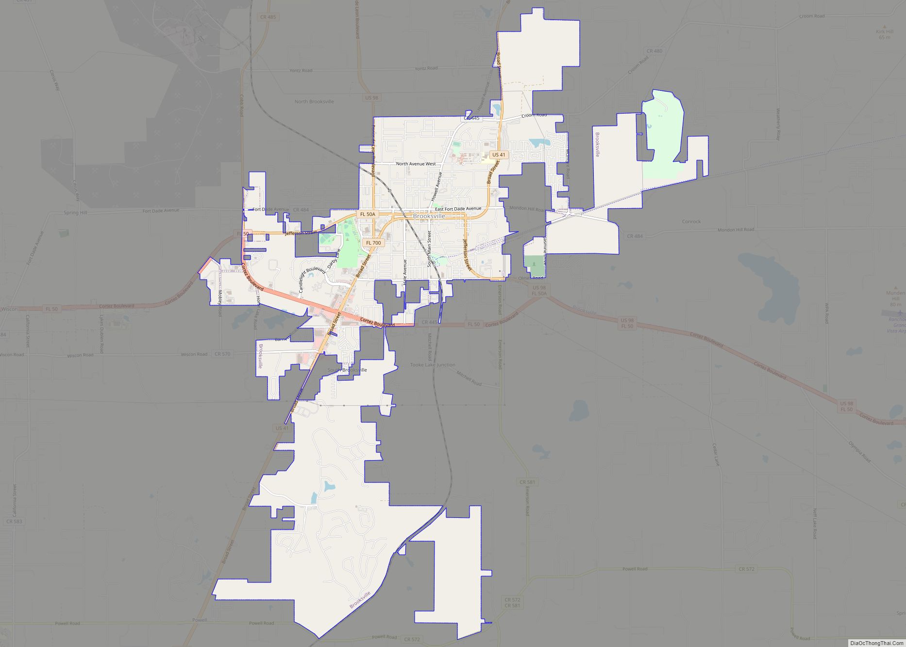
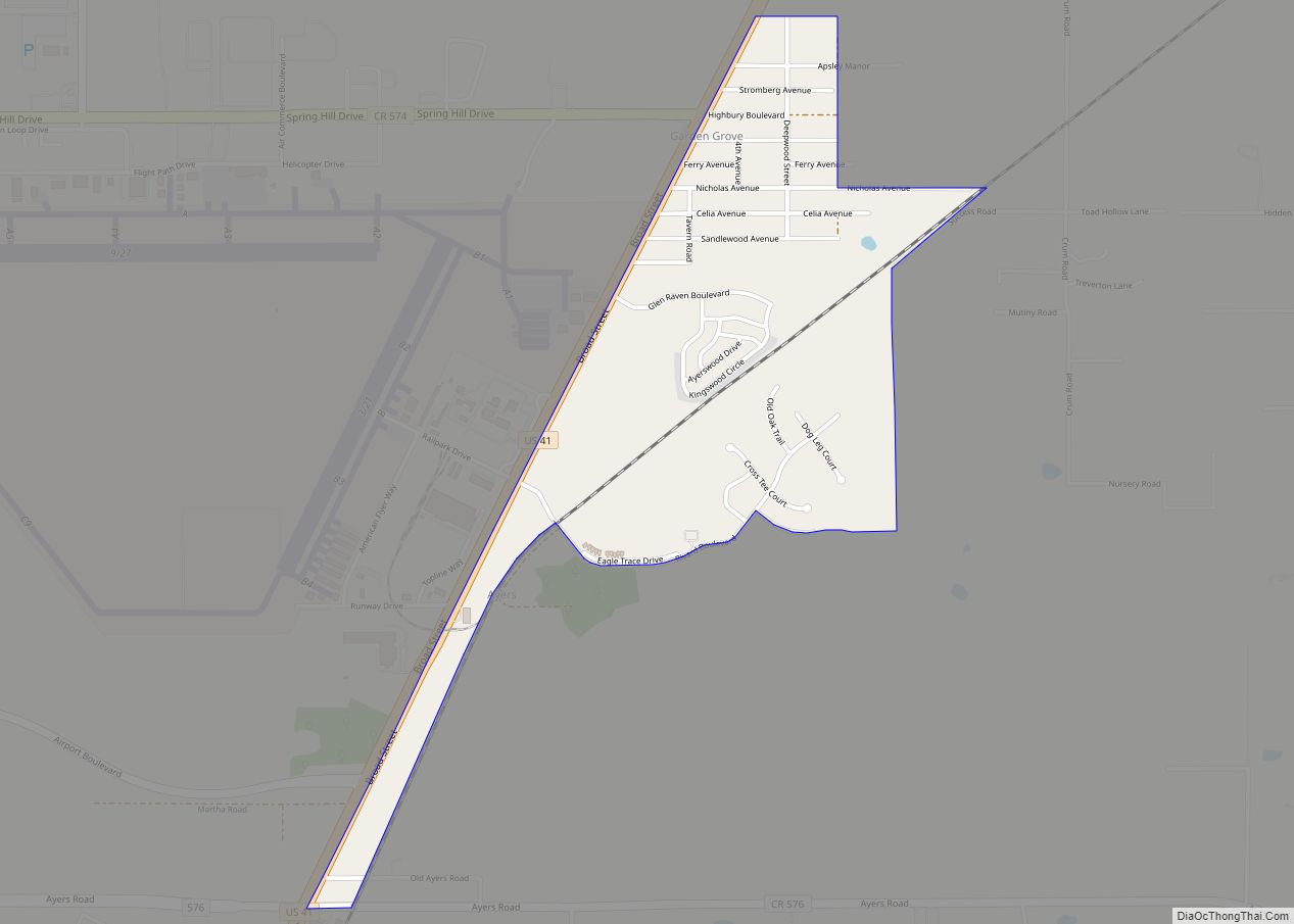
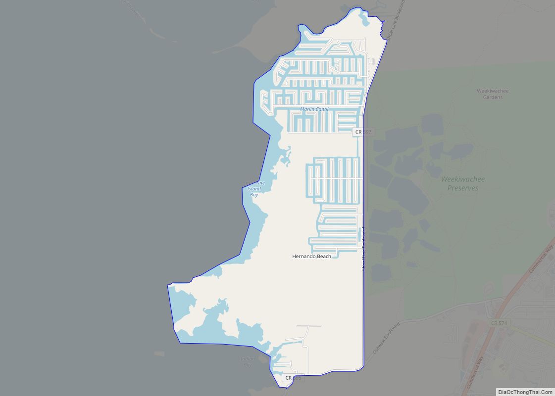
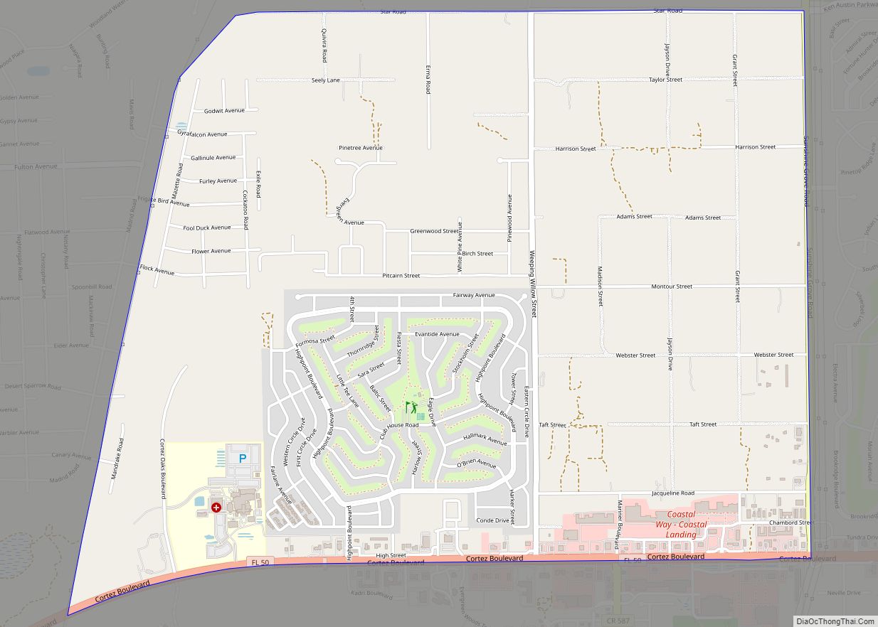
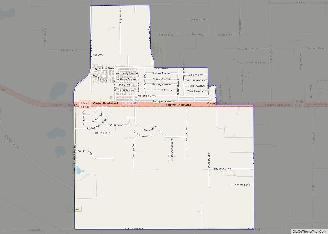
Spring Hill is located in southwestern Hernando County at 28°28′44″N 82°32′52″W / 28.47889°N 82.54778°W / 28.47889; -82.54778 (28.478929, & 82.547732). It is bordered to the west by Timber Pines; to the north by Weeki Wachee, North Weeki Wachee, High Point, Brookridge, and Wiscon; and to the east by South Brooksville, Garden Grove, and Masaryktown. To the south it is bordered by Shady Hills and Heritage Pines in Pasco County.
According to the United States Census Bureau, Spring Hill has a total area of 62.2 square miles (161.2 km), of which 59.8 square miles (154.9 km) are land and 2.4 square miles (6.3 km), or 3.94%, are water.
The U.S. Postal Service recommends that “Spring Hill” be used as the mailing address for ZIP Code 34610 in neighboring Pasco County. The Spring Hill CDP does not extend into Pasco County; instead, this mailing area is partially covered by the Shady Hills and Quail Ridge CDPs.
See also
Map of Florida State and its subdivision:- Alachua
- Baker
- Bay
- Bradford
- Brevard
- Broward
- Calhoun
- Charlotte
- Citrus
- Clay
- Collier
- Columbia
- Desoto
- Dixie
- Duval
- Escambia
- Flagler
- Franklin
- Gadsden
- Gilchrist
- Glades
- Gulf
- Hamilton
- Hardee
- Hendry
- Hernando
- Highlands
- Hillsborough
- Holmes
- Indian River
- Jackson
- Jefferson
- Lafayette
- Lake
- Lee
- Leon
- Levy
- Liberty
- Madison
- Manatee
- Marion
- Martin
- Miami-Dade
- Monroe
- Nassau
- Okaloosa
- Okeechobee
- Orange
- Osceola
- Palm Beach
- Pasco
- Pinellas
- Polk
- Putnam
- Saint Johns
- Saint Lucie
- Santa Rosa
- Sarasota
- Seminole
- Sumter
- Suwannee
- Taylor
- Union
- Volusia
- Wakulla
- Walton
- Washington
- Alabama
- Alaska
- Arizona
- Arkansas
- California
- Colorado
- Connecticut
- Delaware
- District of Columbia
- Florida
- Georgia
- Hawaii
- Idaho
- Illinois
- Indiana
- Iowa
- Kansas
- Kentucky
- Louisiana
- Maine
- Maryland
- Massachusetts
- Michigan
- Minnesota
- Mississippi
- Missouri
- Montana
- Nebraska
- Nevada
- New Hampshire
- New Jersey
- New Mexico
- New York
- North Carolina
- North Dakota
- Ohio
- Oklahoma
- Oregon
- Pennsylvania
- Rhode Island
- South Carolina
- South Dakota
- Tennessee
- Texas
- Utah
- Vermont
- Virginia
- Washington
- West Virginia
- Wisconsin
- Wyoming