Corning is a village in Holt County, Missouri, United States. The population was 3 at the 2020 census.
The village is named for Erastus Corning who owned sizeable shares of the Chicago, Burlington, and Quincy Railroad and who is the namesake of another Burlington railroad community Corning, Iowa.
| Name: | Corning town |
|---|---|
| LSAD Code: | 43 |
| LSAD Description: | town (suffix) |
| State: | Missouri |
| County: | Holt County |
| Elevation: | 876 ft (267 m) |
| Total Area: | 0.11 sq mi (0.28 km²) |
| Land Area: | 0.11 sq mi (0.28 km²) |
| Water Area: | 0.00 sq mi (0.00 km²) |
| Total Population: | 3 |
| Population Density: | 27.27/sq mi (10.57/km²) |
| ZIP code: | 64437 |
| Area code: | 660 |
| FIPS code: | 2916462 |
| GNISfeature ID: | 2396661 |
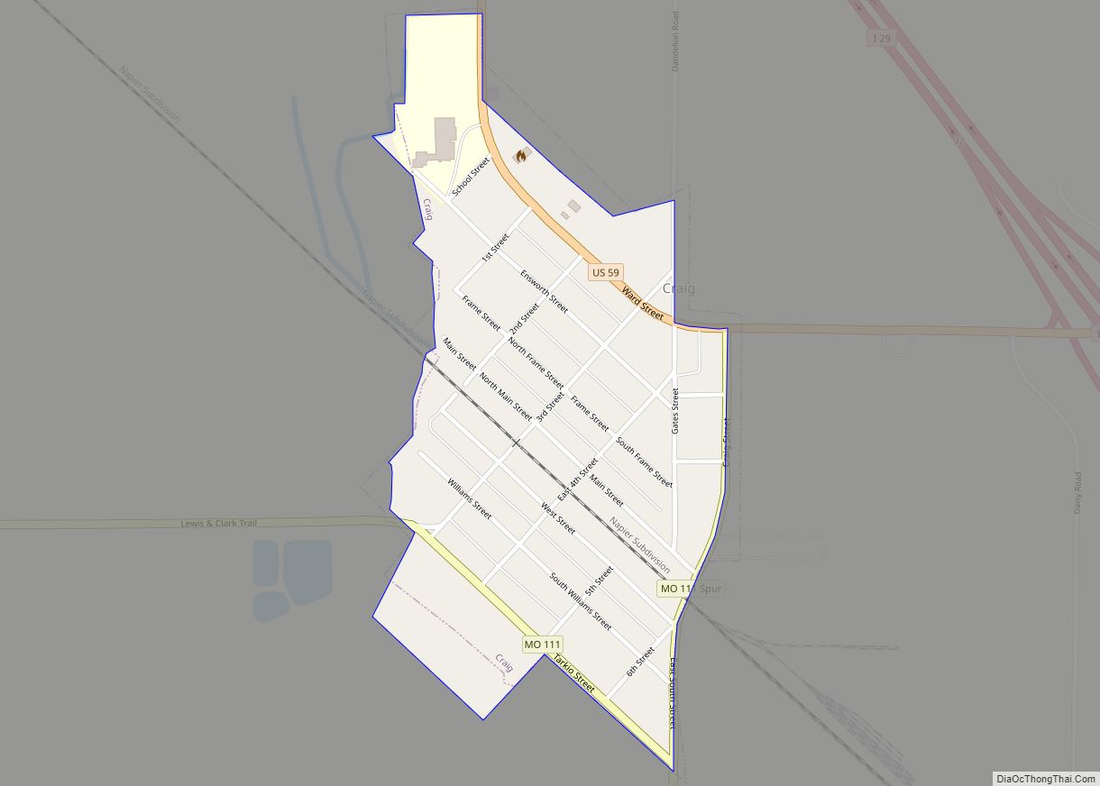
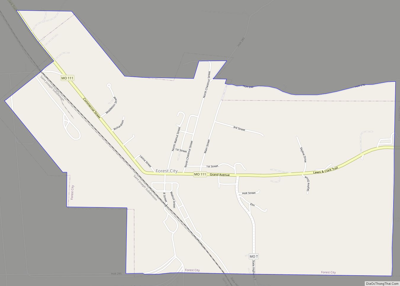
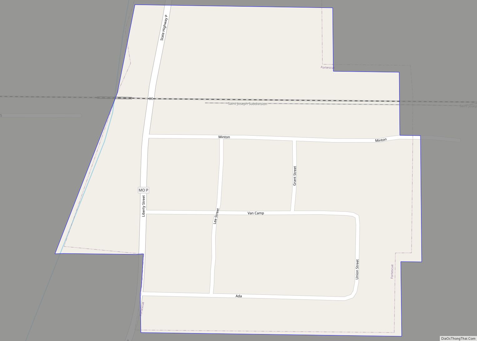
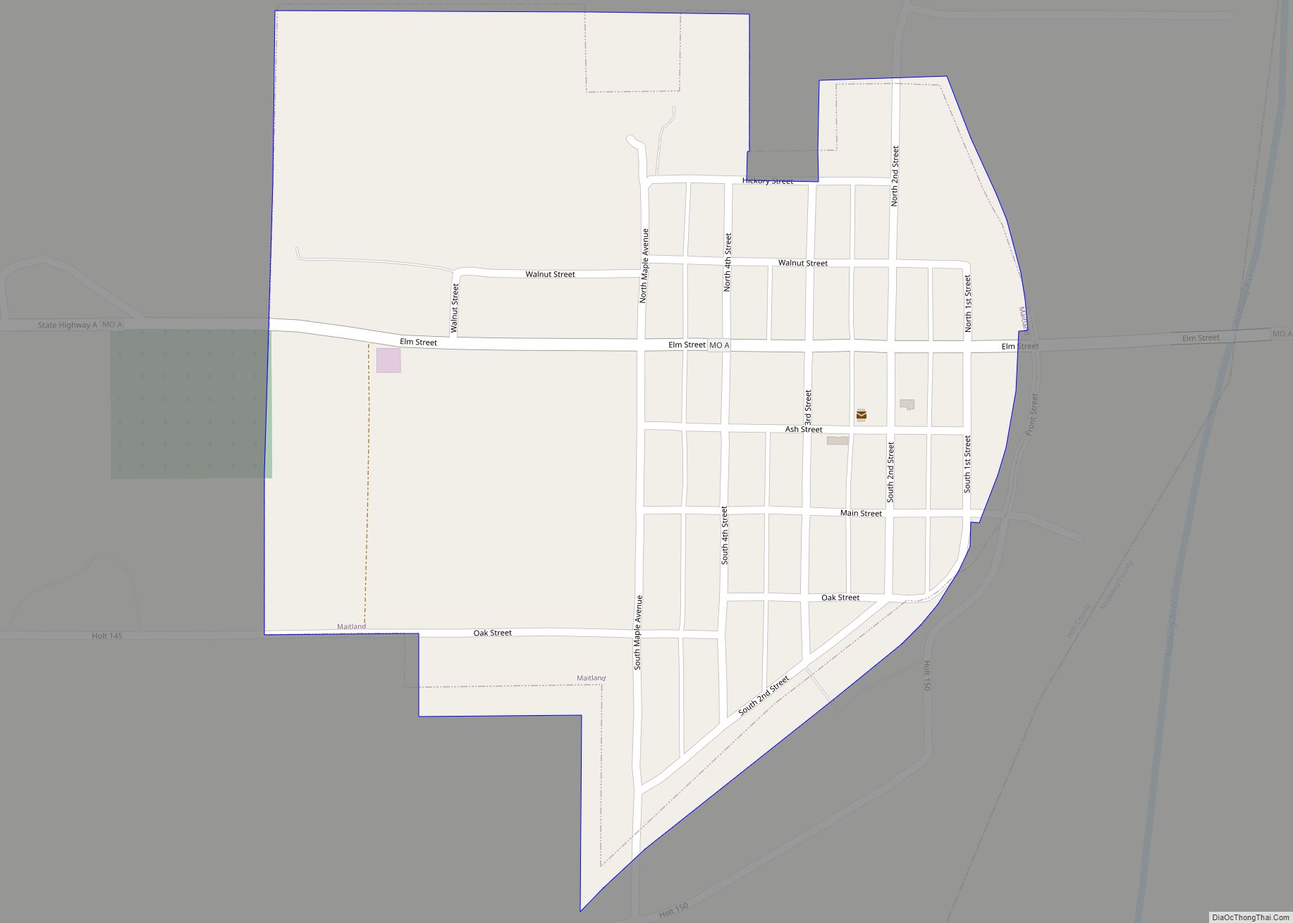
Online Interactive Map
Click on ![]() to view map in "full screen" mode.
to view map in "full screen" mode.
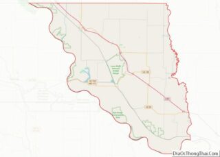
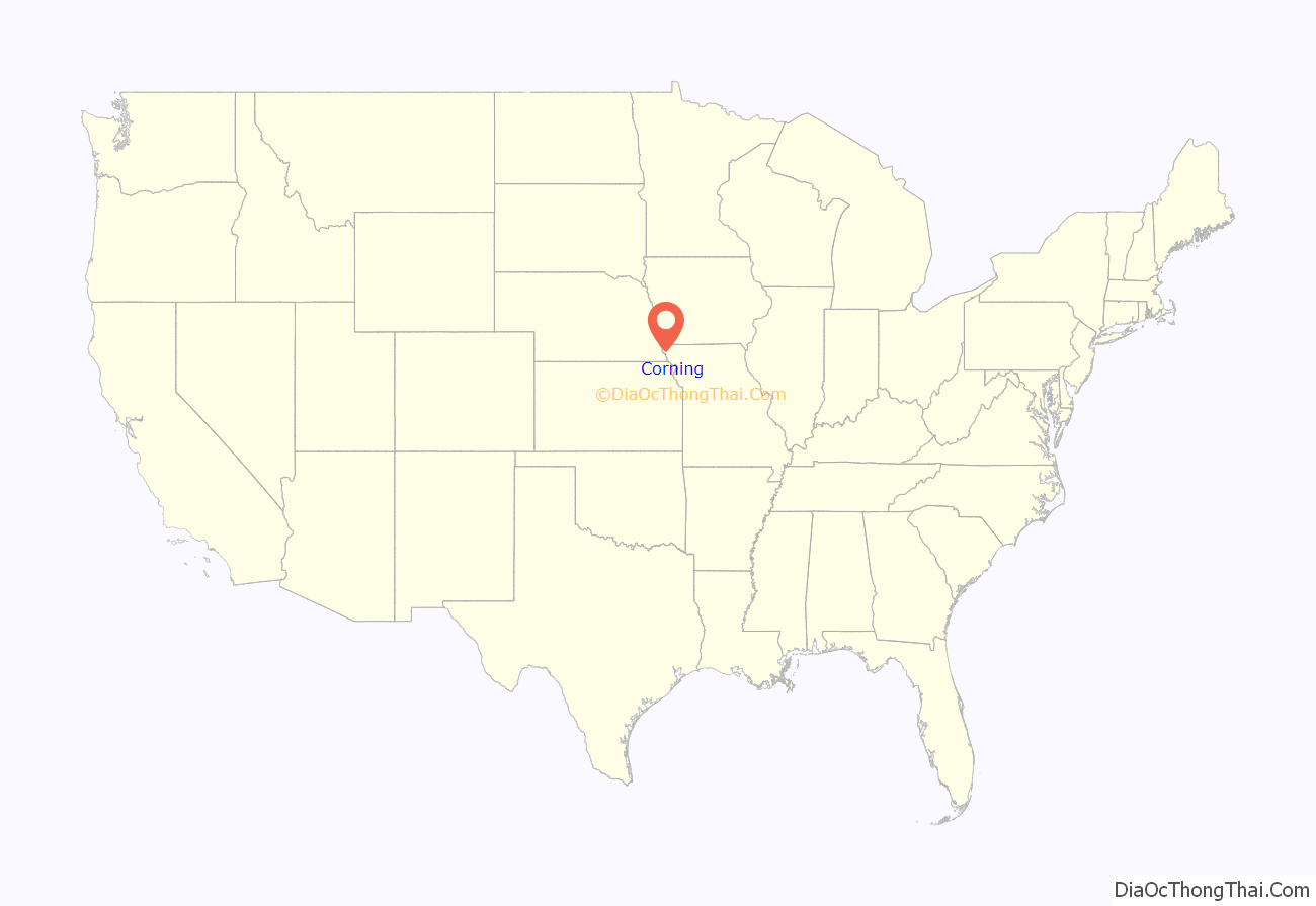
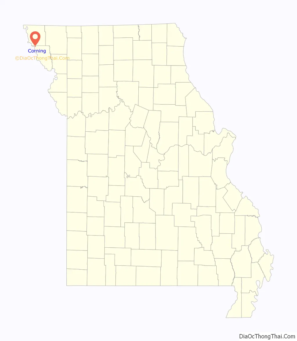
Corning location map. Where is Corning town?
History
Corning was laid out in 1868 on main line of the railroad between Kansas City, Missouri and Council Bluffs, Iowa (the line remains active). A post office called Corning was in operation from 1868 to 1964.
From 1882 to 1980, a spur owned by the Burlington operated between Corning and Clarinda, Iowa initially under the name of the Tarko Valley Railroad.
The village’s St. John’s Evangelical Lutheran Church was listed on the National Register of Historic Places in 2008.
Corning was impacted by the 2019 Midwestern U.S. floods.
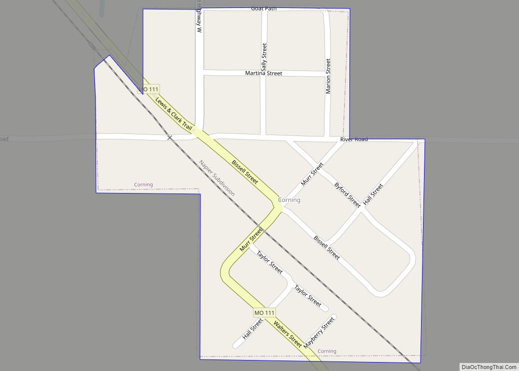
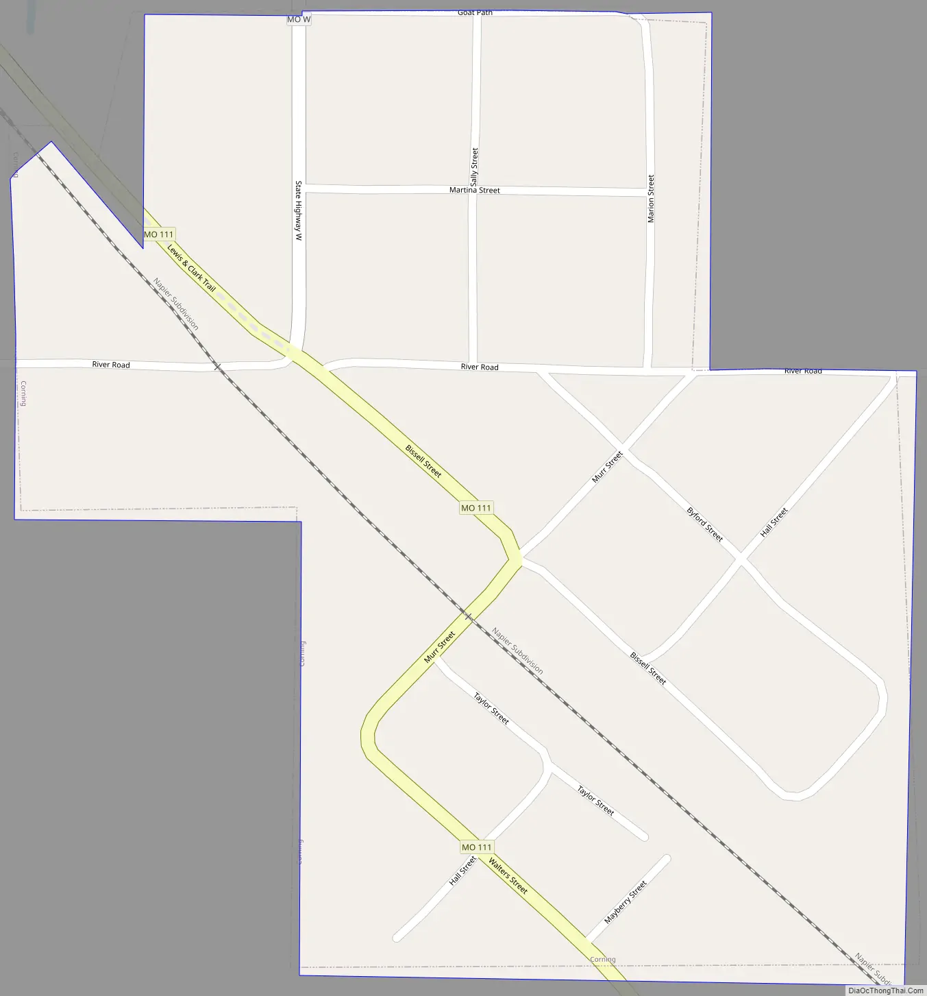
Corning Road Map
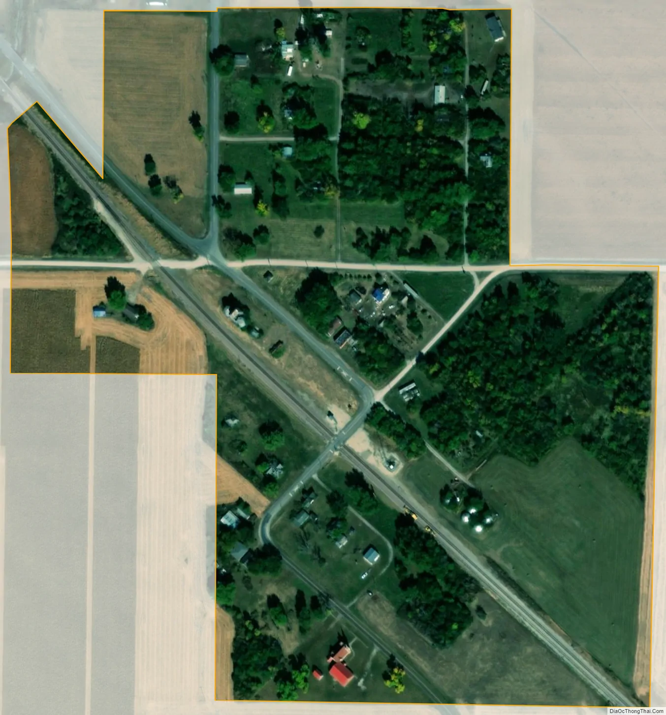
Corning city Satellite Map
Geography
According to the United States Census Bureau, the village has a total area of 0.11 square miles (0.28 km), all land.
See also
Map of Missouri State and its subdivision:- Adair
- Andrew
- Atchison
- Audrain
- Barry
- Barton
- Bates
- Benton
- Bollinger
- Boone
- Buchanan
- Butler
- Caldwell
- Callaway
- Camden
- Cape Girardeau
- Carroll
- Carter
- Cass
- Cedar
- Chariton
- Christian
- Clark
- Clay
- Clinton
- Cole
- Cooper
- Crawford
- Dade
- Dallas
- Daviess
- De Kalb
- Dent
- Douglas
- Dunklin
- Franklin
- Gasconade
- Gentry
- Greene
- Grundy
- Harrison
- Henry
- Hickory
- Holt
- Howard
- Howell
- Iron
- Jackson
- Jasper
- Jefferson
- Johnson
- Knox
- Laclede
- Lafayette
- Lawrence
- Lewis
- Lincoln
- Linn
- Livingston
- Macon
- Madison
- Maries
- Marion
- McDonald
- Mercer
- Miller
- Mississippi
- Moniteau
- Monroe
- Montgomery
- Morgan
- New Madrid
- Newton
- Nodaway
- Oregon
- Osage
- Ozark
- Pemiscot
- Perry
- Pettis
- Phelps
- Pike
- Platte
- Polk
- Pulaski
- Putnam
- Ralls
- Randolph
- Ray
- Reynolds
- Ripley
- Saint Charles
- Saint Clair
- Saint Francois
- Saint Louis
- Sainte Genevieve
- Saline
- Schuyler
- Scotland
- Scott
- Shannon
- Shelby
- Stoddard
- Stone
- Sullivan
- Taney
- Texas
- Vernon
- Warren
- Washington
- Wayne
- Webster
- Worth
- Wright
- Alabama
- Alaska
- Arizona
- Arkansas
- California
- Colorado
- Connecticut
- Delaware
- District of Columbia
- Florida
- Georgia
- Hawaii
- Idaho
- Illinois
- Indiana
- Iowa
- Kansas
- Kentucky
- Louisiana
- Maine
- Maryland
- Massachusetts
- Michigan
- Minnesota
- Mississippi
- Missouri
- Montana
- Nebraska
- Nevada
- New Hampshire
- New Jersey
- New Mexico
- New York
- North Carolina
- North Dakota
- Ohio
- Oklahoma
- Oregon
- Pennsylvania
- Rhode Island
- South Carolina
- South Dakota
- Tennessee
- Texas
- Utah
- Vermont
- Virginia
- Washington
- West Virginia
- Wisconsin
- Wyoming