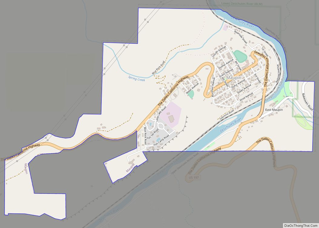
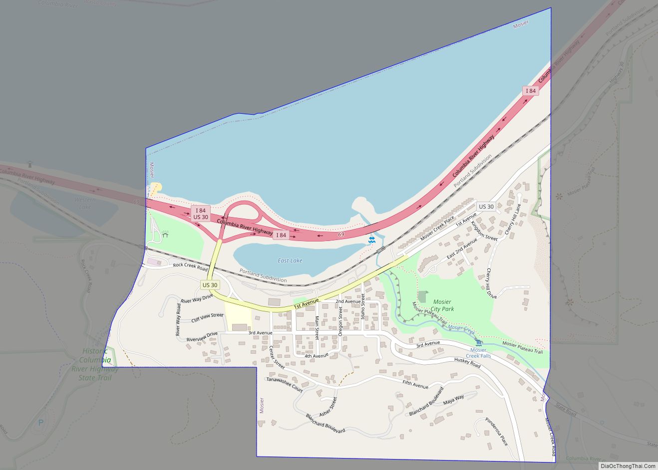
The Dalles /ˈdælz/, formally City of The Dalles, also called Dalles City, is an inland port and the largest city of Wasco County, Oregon, United States. The population was 16,010 at the 2020 census, and it is the largest city in Oregon along the Columbia River outside the Portland Metropolitan Area. The Dalles is 75 miles (121 km) east of Portland, within the Columbia River Gorge National Scenic Area.
| Name: | The Dalles city |
|---|---|
| LSAD Code: | 25 |
| LSAD Description: | city (suffix) |
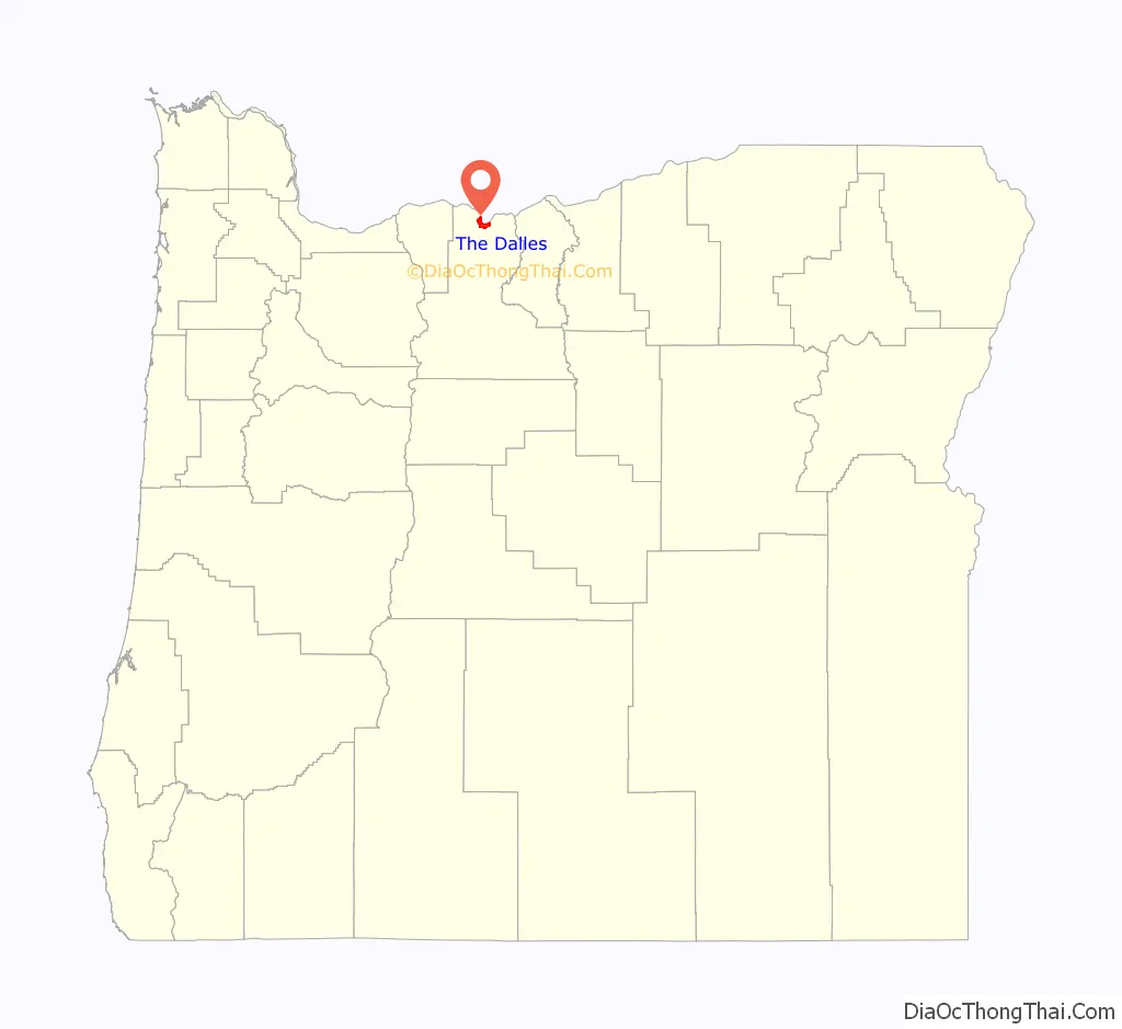
| State: | Oregon |
| County: | Wasco County |
| Incorporated: | 1857 |
| Elevation: | 109 ft (33 m) |
| Land Area: | 6.66 sq mi (17.25 km²) |
| Water Area: | 0.28 sq mi (0.72 km²) |
| Population Density: | 2,403.54/sq mi (927.99/km²) |
| ZIP code: | 97058 |
| Area code: | 458 and 541 |
| FIPS code: | 4172950 |
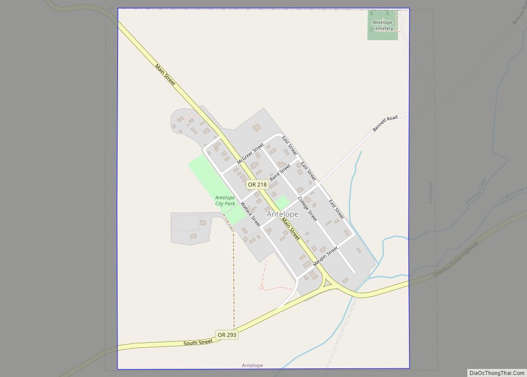
Online Interactive Map
Click on ![]() to view map in "full screen" mode.
to view map in "full screen" mode.
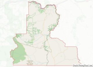
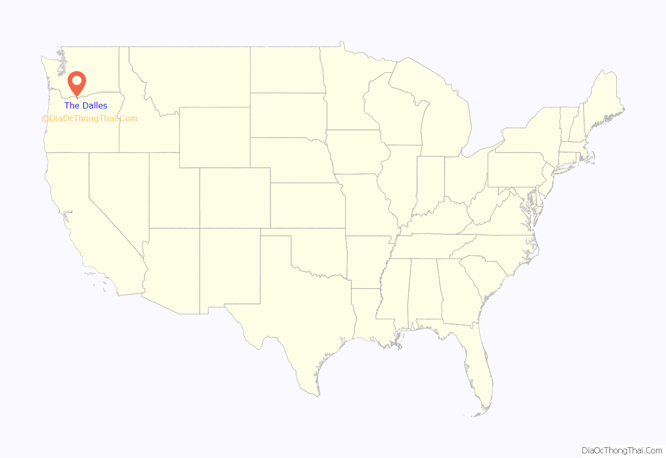
The Dalles location map. Where is The Dalles city?
History
The area around The Dalles is known to have been a trading center for Native Americans as long as 10,000 years ago and is thus one of the oldest inhabited places in North America.
The site of what is now the city of The Dalles was a major Native American trading center. The general area is one of the continent’s most significant archaeological regions. Lewis and Clark camped near Mill Creek on October 25–27, 1805, and recorded the Indian name for the creek as Quenett.
Etymology
The name of the city comes from the French word dalle, meaning either “sluice”, akin to English “dale” and German T[h]al, “valley”, or “flagstone”, referring to the columnar basalt rocks carved by the river (in voyageur French used to refer to rapids), which was used by the French-Canadian employees of the North West Company to refer to the rapids of the Columbia River between the present-day city and Celilo Falls. Also in the same area was the Petites Dalles or Little Dalles, or Short Narrows. In French, “Les dalles” means “the slabs”. When a river flows over hard flat rocks, it becomes shallow, and rapids are created.
Fur trade
The first use of the name Dalles, according to Oregon Geographic Names, appears in fur trader Gabriel Franchère’s Narrative, on April 12, 1814, referring to the long series of major rapids in the river. Starting in the 1810s, Americans and Europeans passed by what became The Dalles, active in the North American fur trade as employees of either the American Pacific Fur Company (PFC) or the Canadian North West Company (NWC). Men like NWC officer David Thompson voyaged both down and up the Columbia, traveling through Celilo Falls. The War of 1812 led to the 1813 liquidation of the PFC, its properties like Fort Astoria sold to the North West Company.
In 1821 the North West Company was absorbed by the giant London-based Hudson’s Bay Company (HBC). Fort Vancouver, built in 1824, replaced Fort Astoria as the regional fur trade headquarters. The HBC’s trading network made extensive use of the Columbia River. The rapids of the Columbia River at The Dalles was the largest and longest of the four “great portages”, where fur trading boats had to unload and transship their cargoes. Sometimes, during high water, boats traveling downriver would “shoot the rapids” instead of portaging, although the practice was dangerous and many people died as a result over the years.
Wascopam Mission
In 1838 a branch of Jason Lee’s Methodist Mission was established at Celilo Falls, named the Wascopam Mission, after the native Wasco Indians. In 1850 the U.S. Army founded a small post at the site of the old mission, being eventually named Fort Dalles. Fort Dalles became the nucleus of the town of The Dalles, which began to develop along the waterfront. In 1855, at the end of the Cayuse War, the Indians living near The Dalles were forcibly relocated by the U.S. Army to the Warm Springs Indian Reservation.
American settlement
In the early 1840s American settlers began to arrive in significant numbers, traveling overland via the Oregon Trail. The trail ended at The Dalles. It was not possible to take wagons farther west due to steep cliffs that fell straight into the Columbia River. Until the construction of the Barlow Road in 1846, the only way to reach Fort Vancouver and the Willamette Valley was by rafting down the river from The Dalles.
A post office was established within the boundaries of the current city in 1851, and The Dalles was incorporated as a city in 1857. It has been the major commercial center between Portland and Pendleton since. The city was originally named just “Dalles”. In 1853 it was changed to “Wascopum,” then, in 1860, to “The Dalles”.
In 1864, the U.S. Congress appropriated money to build a U.S. mint in The Dalles that was to use gold from Canyon City for coinage. The supply of gold from Canyon City began to dwindle, however, and other problems, such as cost overruns, workers leaving to work the gold fields, and flooding from the Columbia River, also contributed to the project running two years behind schedule and led eventually to its demise. In 1870, the State of Oregon received the property from the U.S. Government and the building was put to other uses. The mint is now home to Freebridge Brewing.
Construction of The Dalles Dam in 1957 submerged the Long Narrows and Celilo Falls.
In 1963, Ken Kesey’s novel One Flew Over the Cuckoo’s Nest was published featuring the narrator, Chief, who is from The Dalles.
In 1970, the Bonneville Power Administration opened the Celilo Converter Station near the northern terminus of the Pacific DC Intertie which sends 3,100 megawatts of electricity to Los Angeles.
In 1982, a curly-coated kitten was born on a farm in The Dalles owned by Linda and Dick Koehl. The Koehls used this kitten and her offspring to develop a new breed of cat called the LaPerm, which went on to become a popular, established, championship pedigree cat breed around the world.
In 1984, The Dalles was the site of the first and single largest bioterrorism attack in United States history.
In 1986, Penalty Phase, a film starring Peter Strauss and Melissa Gilbert, was filmed in and around The Dalles.
In 2018, Terry A. Davis, creator of the TempleOS operating system, walked from Portland, Oregon to The Dalles in three days via the Columbia River Gorge. There, he was struck by a train and died at the age of 48.
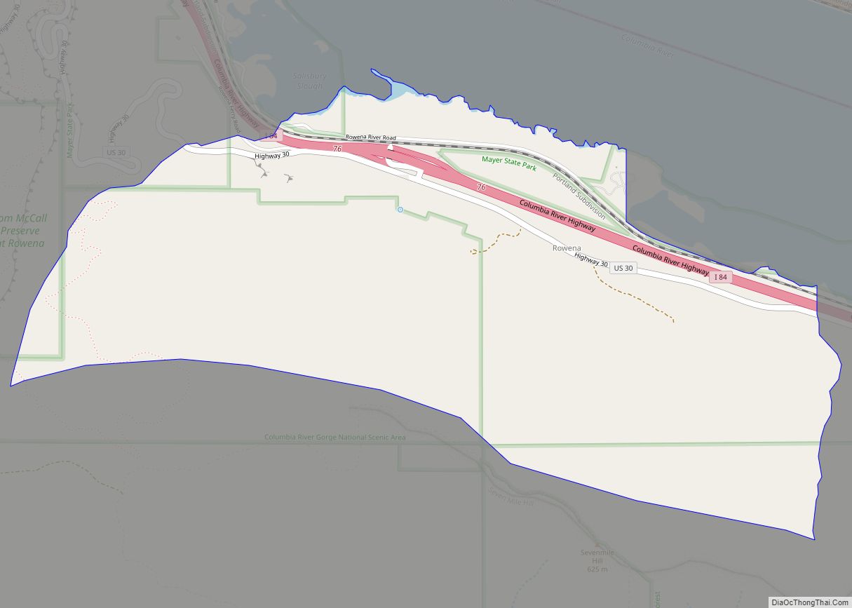
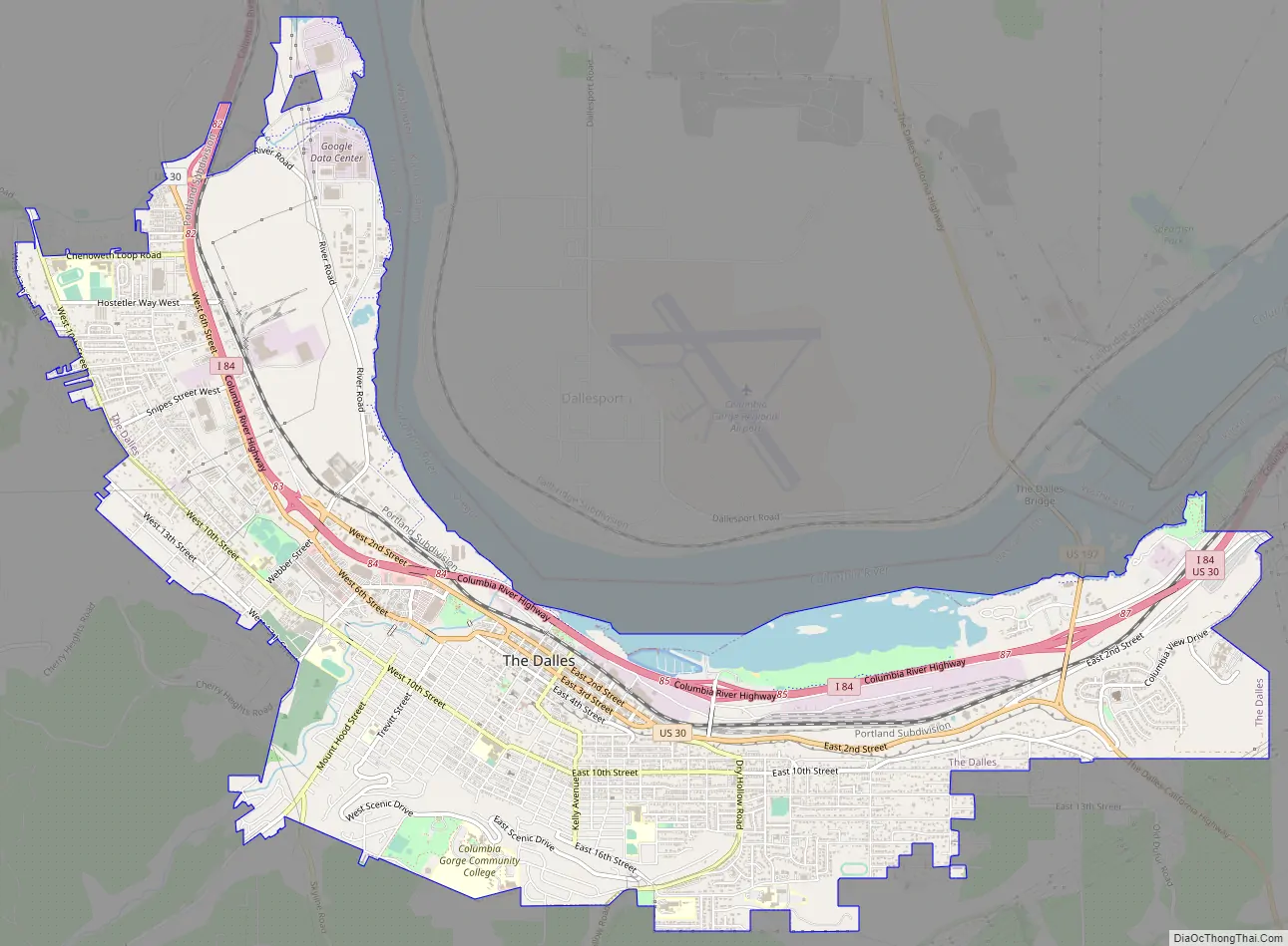
The Dalles Road Map
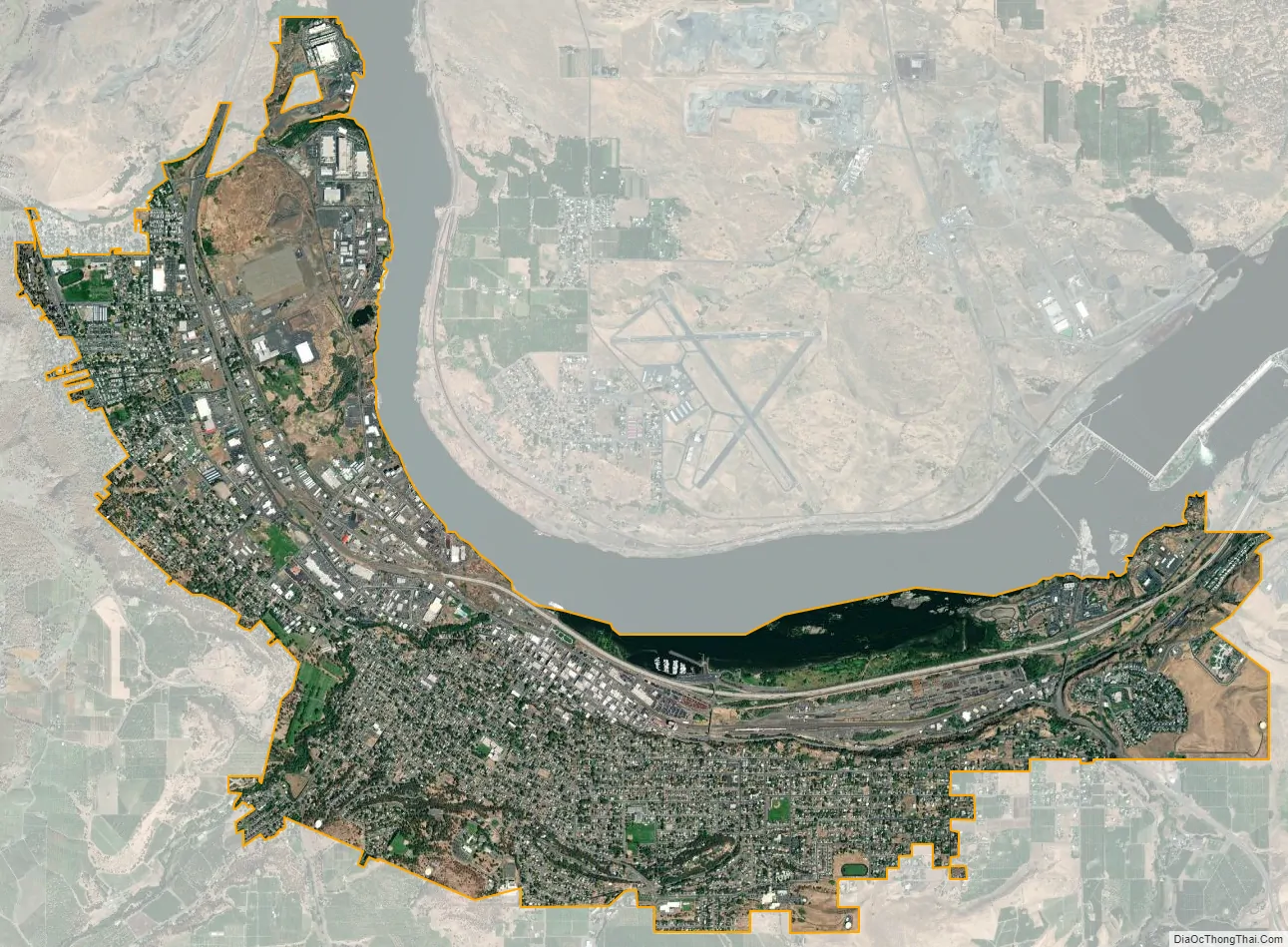
The Dalles city Satellite Map
Geography
Highways I-84, US 30, and US 197 meet in the city.
According to the United States Census Bureau, the city has a total area of 20.61 square miles (53.38 km), of which 20.35 square miles (52.71 km) is land and 0.26 square miles (0.67 km) is water.
Climate
The Dalles is usually classified as a semiarid (Köppen BSk) climate region. However, it has some characteristics of the midlatitude oceanic climate that dominates west of the Cascade Mountains, combined with seasonal precipitation patterns very similar to those found in Mediterranean climates. The city’s location in the eastern Columbia Gorge results in the presence of numerous microclimates within a few miles of town. To the immediate west, the winters are significantly wetter, and summers are significantly cooler. In contrast, upland locations to the south are significantly cooler in all seasons. The generally warm and dry summers near town make it the ideal climate for the numerous Bing cherry orchards in the area.
The summer season runs from mid-June through early September and is quite warm by Pacific Northwest standards; however, summer weather often oscillates between intense heat waves and much cooler and windier periods. Except for the occasional sporadic thunderstorm, there is almost no summer rainfall.
From late September through early November, the area experiences an abrupt autumn during which normal temperatures drop very rapidly and cloudy, wet weather quickly picks up. Prior to the sudden onset of the rainy season in mid- to late fall, there are often days with a very wide disparity between daytime and nighttime temperatures, sometimes exceeding 36 °F or 20 °C. There is far less wind in the fall than in spring and early summer, though passing frontal systems can still bring quick bouts of strong wind.
Winter is the wet season in The Dalles. Despite the rain shadow effect created by the Cascades, there is still enough precipitation most years to support relatively high soil moisture levels for most of the winter. This is a very similar pattern to what happens in classic Mediterranean climates – except that the temperatures are significantly colder. The area receives measurable snowfall virtually every year, but the snow totals fluctuate dramatically from one year to the next; some seasons see only one or two brief light snow events while others get major snowstorms and cumulative totals of 20 inches (0.51 m) or more. The most snowfall in a season has been 85.5 inches (2.17 m) between July 1949 and June 1950. Average winter temperatures are only about 3 to 5 °F (1.7 to 2.8 °C) colder than in cities such as Portland and Seattle, and temperatures below 0 °F or −17.8 °C are very rare, but not unheard of – historically occurring on three mornings out of every five winters, but only once since February 1996.
As in the summer, winter temperatures can vary tremendously from one day to the next. During arctic air events the daytime high temperatures will generally be well below 32 °F or 0 °C, while a strong subtropical push can raise temperatures into the 50s and low 60s F, even in January. It is quite common for relatively cold air to become trapped at low elevations due to an inversion above; depending on the temperature of the surface airmass, depth of the inversion layer, and temperatures above the inversion layer, this can result in snow, sleet, freezing rain or a very cold liquid rain.
Springtime conditions generally run from late February through early June, during which time the overall trend gradually becomes warmer and drier and the landscape briefly turns lush and green. This is the windiest season of all, with a powerful west wind on most afternoons. During stormy periods in spring, conditions are usually cloudy and cool, while most sunny and calm days become intensely warm, especially from April onward. Springtime temperatures often vary more from one week to the next than they do from one month to the next.
The growing season is roughly 200 days long in a typical year, generally running from early April through most of October. However, the spring frost dates can range from mid-March to early May, and the fall frost dates can range from late September to mid-November.
A weather station is located at nearby Columbia Gorge Regional Airport, also known as The Dalles Municipal Airport.
See also
Map of Oregon State and its subdivision: Map of other states:- Alabama
- Alaska
- Arizona
- Arkansas
- California
- Colorado
- Connecticut
- Delaware
- District of Columbia
- Florida
- Georgia
- Hawaii
- Idaho
- Illinois
- Indiana
- Iowa
- Kansas
- Kentucky
- Louisiana
- Maine
- Maryland
- Massachusetts
- Michigan
- Minnesota
- Mississippi
- Missouri
- Montana
- Nebraska
- Nevada
- New Hampshire
- New Jersey
- New Mexico
- New York
- North Carolina
- North Dakota
- Ohio
- Oklahoma
- Oregon
- Pennsylvania
- Rhode Island
- South Carolina
- South Dakota
- Tennessee
- Texas
- Utah
- Vermont
- Virginia
- Washington
- West Virginia
- Wisconsin
- Wyoming