Calumet (/ˌkæljuˈmɛt/ KAL-yuu-MET or locally /ˌkæljəˈmɛt/ KAL-yə-MET) is a village in Calumet Township, Houghton County, in the U.S. state of Michigan‘s Upper Peninsula, that was once at the center of the mining industry of the Upper Peninsula. Also known as Red Jacket, the village includes the Calumet Downtown Historic District, listed on the National Register of Historic Places (NRHP). The village may itself be included within the Calumet Historic District, a larger area which is NRHP-listed and which is a National Historic Landmark District. It is bordered on the north by Calumet Township, on the south by Newtown and Calumet Township, on the east by Blue Jacket and Calumet Township, and on the west by Yellow Jacket and Calumet Township. The population was 621 at the 2020 census. Calumet’s nickname is Copper Town U.S.A.
| Name: | Calumet village |
|---|---|
| LSAD Code: | 47 |
| LSAD Description: | village (suffix) |
| State: | Michigan |
| County: | Houghton County |
| Elevation: | 1,214 ft (370 m) |
| Total Area: | 0.20 sq mi (0.52 km²) |
| Land Area: | 0.20 sq mi (0.52 km²) |
| Water Area: | 0.00 sq mi (0.00 km²) |
| Total Population: | 621 |
| Population Density: | 3,105/sq mi (1,194.23/km²) |
| Area code: | 906 |
| FIPS code: | 2612580 |
| GNISfeature ID: | 0622468 |
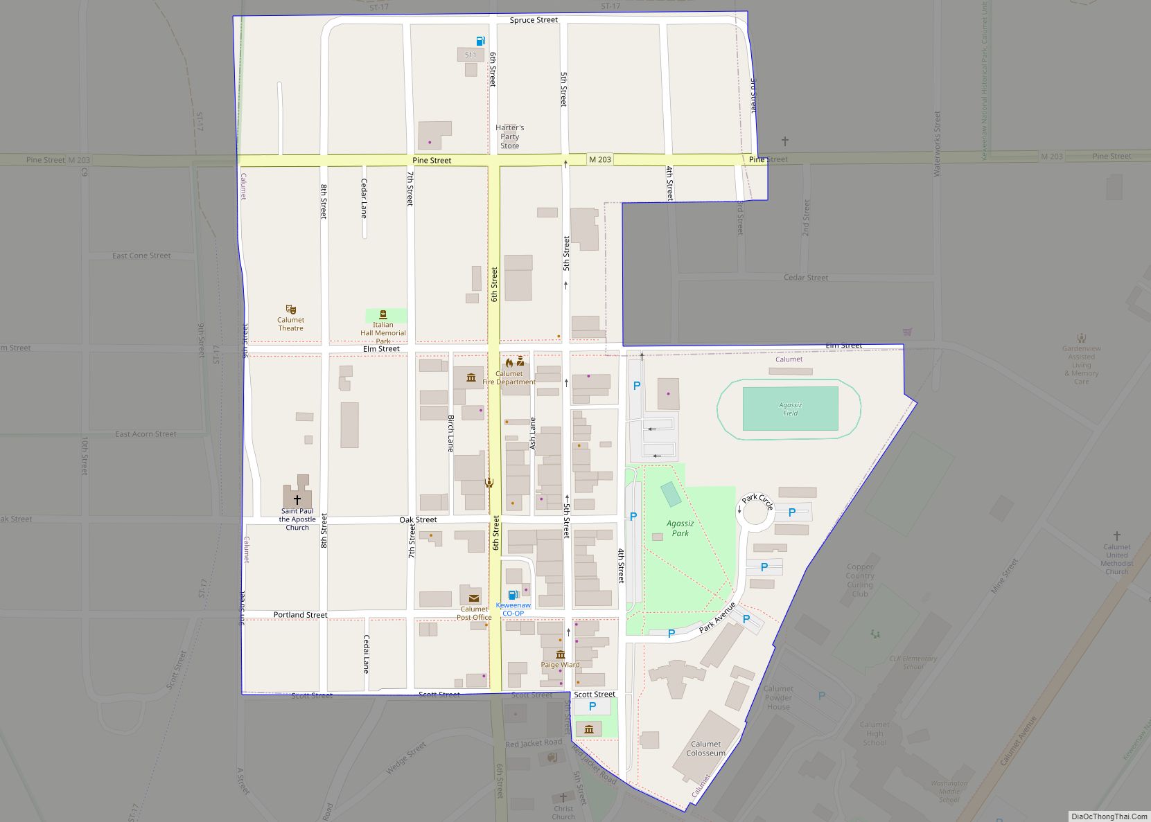
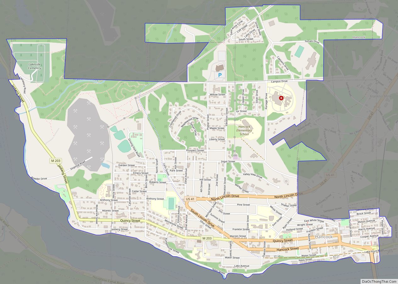
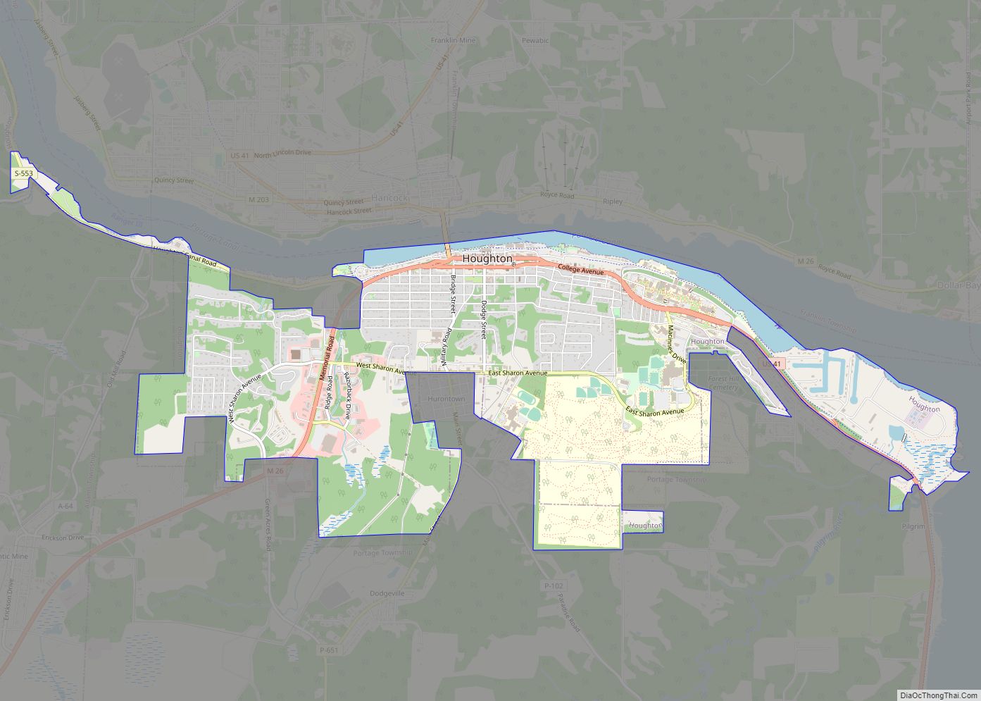
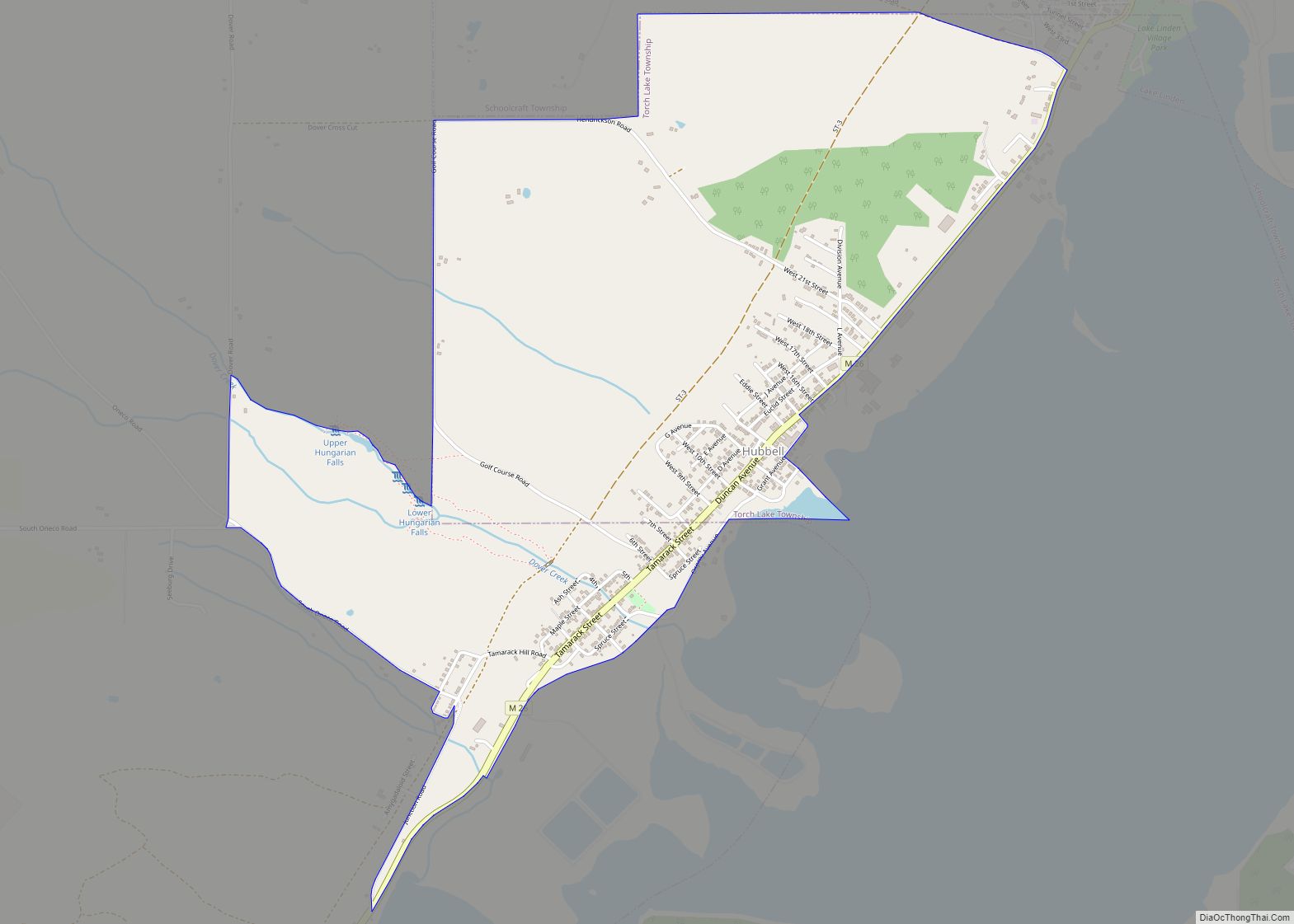
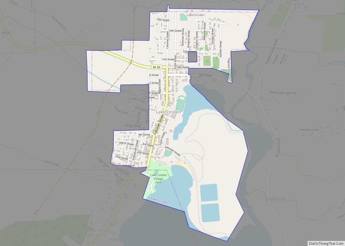
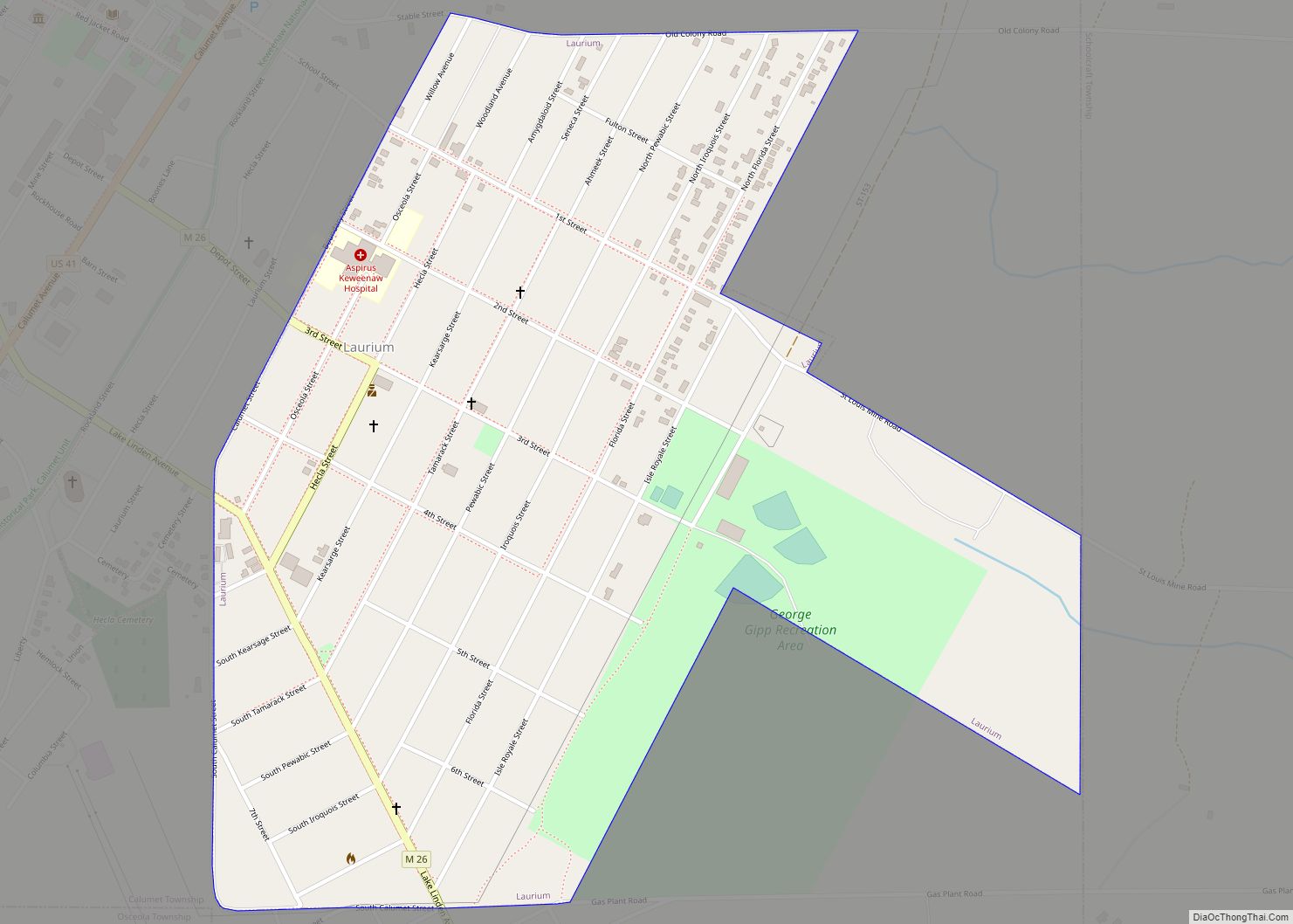
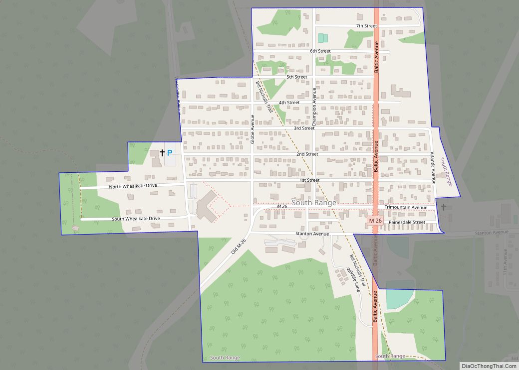
Online Interactive Map
Click on ![]() to view map in "full screen" mode.
to view map in "full screen" mode.
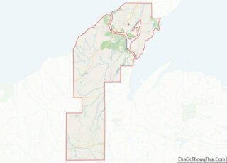
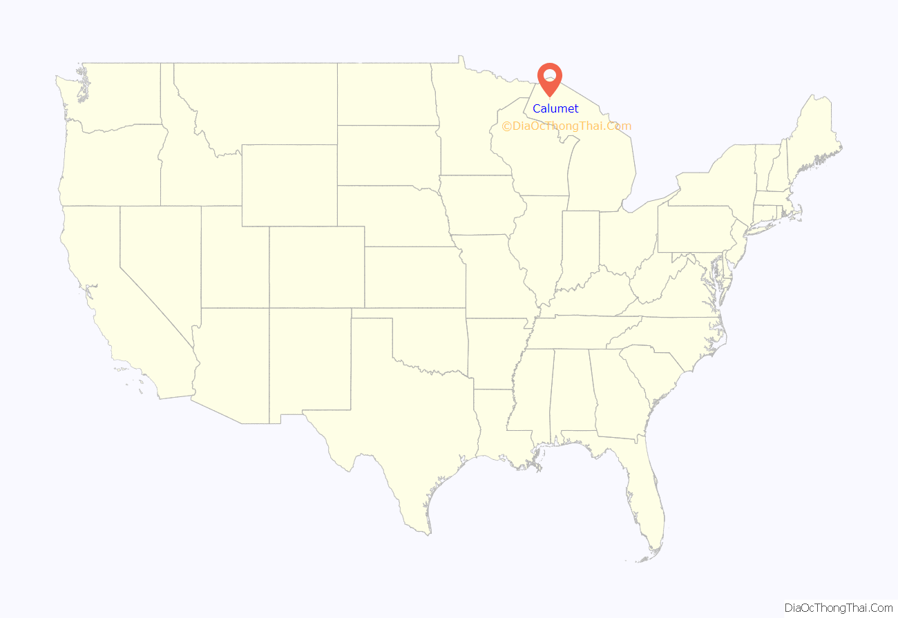
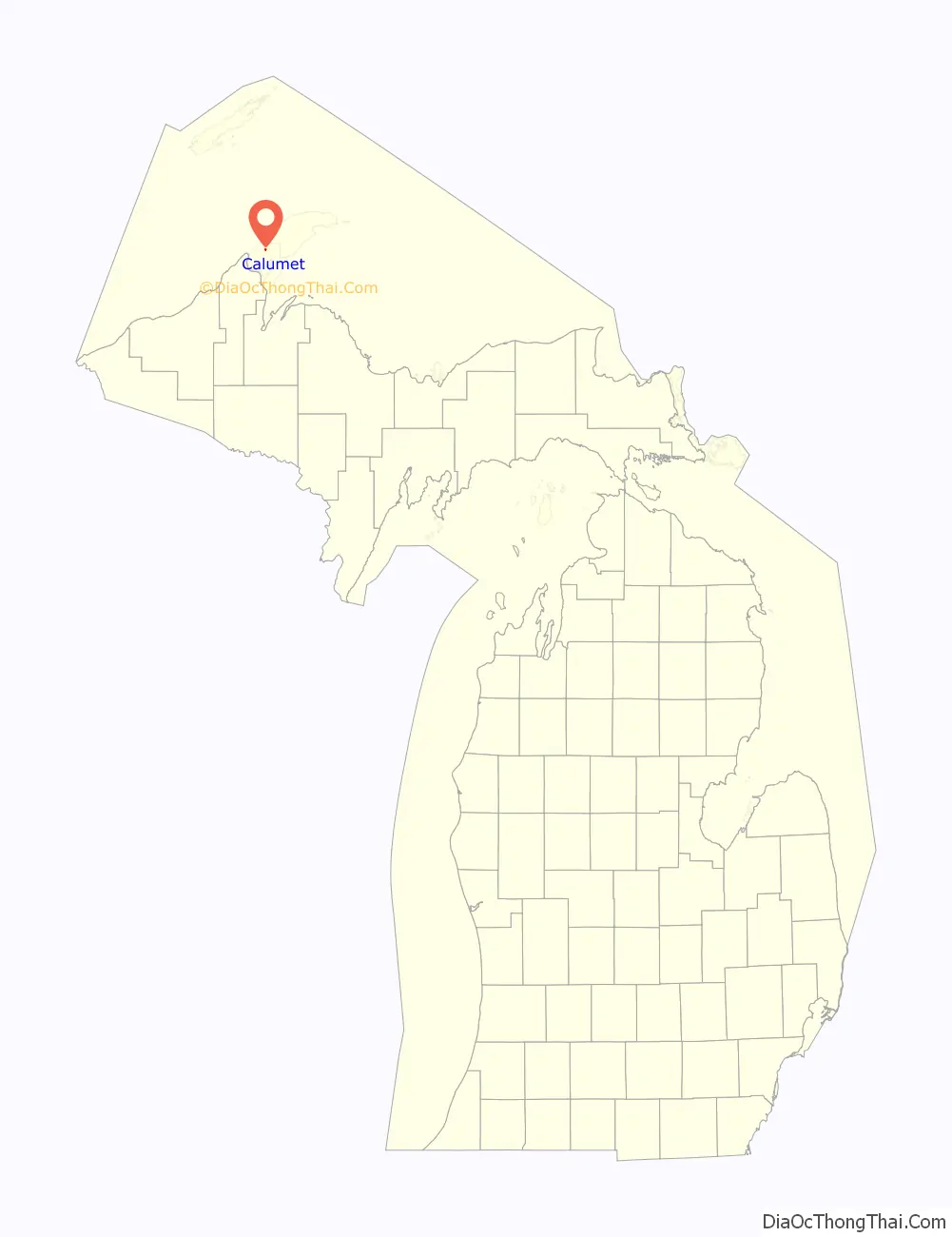
Calumet location map. Where is Calumet village?
History
What is now Calumet was settled in 1864, originally under the name of “Red Jacket”, named for a Native American Chief of the Seneca tribe. Until 1895 the name “Calumet” was used by the nearby town of Laurium, Michigan; present-day Calumet was not legally named so until 1929.
Red Jacket grew due to the copper mines in the area. It was incorporated as a town in 1867. The copper mines were particularly rich; the Boston-based Calumet and Hecla Mining Company otherwise produced more than half of the United States’ copper from 1871 through 1880. In addition to copper mining and smelting, the region also supported the dairy industry and truck farming. Many immigrants (from Poland, etc.) settled there in the late 19th century
By 1900, Red Jacket had a population of 4,668, and Calumet Township, which contained Red Jacket and nearby mining towns, had a population of 25,991. However, in 1913, Red Jacket suffered from the Copper Country Strike of 1913–1914, and the population began to decline. In the same year, the town was the site of the Italian Hall Disaster. Striking miners and their families were gathered on Christmas Eve for a party in Italian Hall, when the cry of “fire” precipitated a stampede that crushed or suffocated seventy-three victims, the majority of them children. The identity of the person(s) who started the stampede has never been determined. Folk singer Woody Guthrie’s song, “1913 Massacre”, is based on this event.
Loss of wartime demand caused the copper price to drop following World War I. With the decreased demand for copper, thousands left Red Jacket in the 1920s, many moving to Detroit, Michigan, where the automobile industry was booming.
During the Great Depression, almost all mines were shut down. As a result, many miners and their families left to find work. In 1950, the population of Calumet was 1,256 people. Small-time mining continued in the area, particularly during World War II, until it was shut down completely by a labor strike in 1968.
In 1984, Calumet’s name was borrowed by Hollywood. Calumet was moved from Michigan to Colorado, where it was invaded by Soviet paratroopers in the original Red Dawn film. Producer and screenwriter Kevin Reynolds was seasonal resident in the Keweenaw Peninsula.
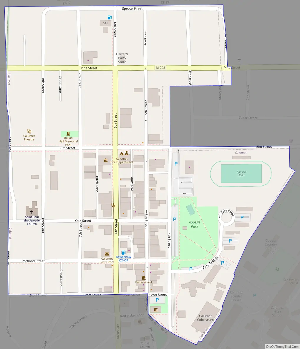
Calumet Road Map
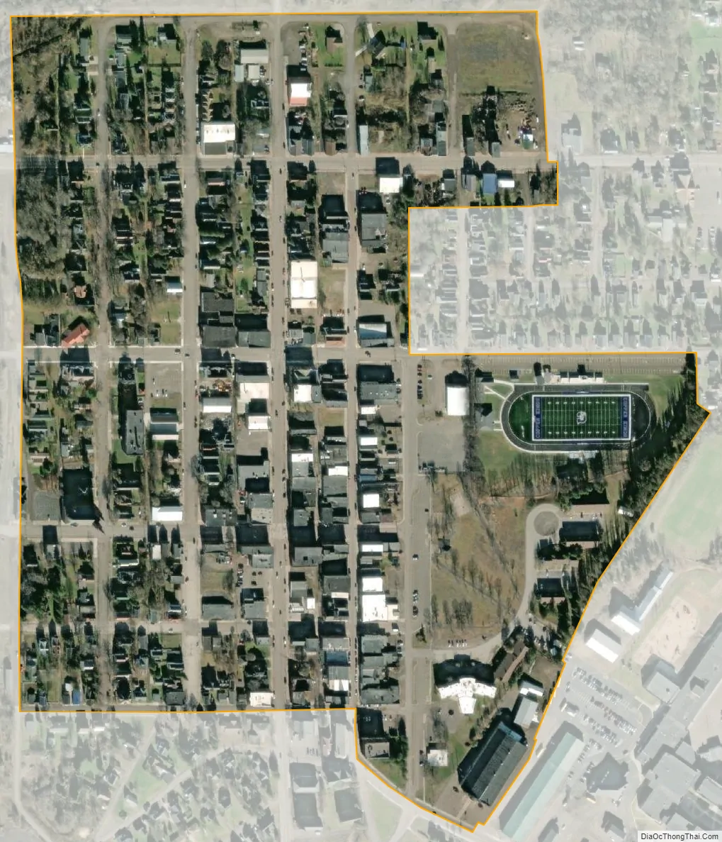
Calumet city Satellite Map
Geography
According to the United States Census Bureau, the village has a total area of 0.20 square miles (0.52 km), all of it land.
Calumet is at an elevation of 1,209 feet (369 m) above sea level. The village of Calumet sits on 2,000 miles (3,200 km) of underground mine shafts, drifts and stopes, empty for many decades. Large portions of the Keweenaw National Historical Park are located inside the village limits, mostly covering the intricate complex of the Calumet and Hecla Mining Company’s main operations.
See also
Map of Michigan State and its subdivision:- Alcona
- Alger
- Allegan
- Alpena
- Antrim
- Arenac
- Baraga
- Barry
- Bay
- Benzie
- Berrien
- Branch
- Calhoun
- Cass
- Charlevoix
- Cheboygan
- Chippewa
- Clare
- Clinton
- Crawford
- Delta
- Dickinson
- Eaton
- Emmet
- Genesee
- Gladwin
- Gogebic
- Grand Traverse
- Gratiot
- Hillsdale
- Houghton
- Huron
- Ingham
- Ionia
- Iosco
- Iron
- Isabella
- Jackson
- Kalamazoo
- Kalkaska
- Kent
- Keweenaw
- Lake
- Lake Hurron
- Lake Michigan
- Lake St. Clair
- Lake Superior
- Lapeer
- Leelanau
- Lenawee
- Livingston
- Luce
- Mackinac
- Macomb
- Manistee
- Marquette
- Mason
- Mecosta
- Menominee
- Midland
- Missaukee
- Monroe
- Montcalm
- Montmorency
- Muskegon
- Newaygo
- Oakland
- Oceana
- Ogemaw
- Ontonagon
- Osceola
- Oscoda
- Otsego
- Ottawa
- Presque Isle
- Roscommon
- Saginaw
- Saint Clair
- Saint Joseph
- Sanilac
- Schoolcraft
- Shiawassee
- Tuscola
- Van Buren
- Washtenaw
- Wayne
- Wexford
- Alabama
- Alaska
- Arizona
- Arkansas
- California
- Colorado
- Connecticut
- Delaware
- District of Columbia
- Florida
- Georgia
- Hawaii
- Idaho
- Illinois
- Indiana
- Iowa
- Kansas
- Kentucky
- Louisiana
- Maine
- Maryland
- Massachusetts
- Michigan
- Minnesota
- Mississippi
- Missouri
- Montana
- Nebraska
- Nevada
- New Hampshire
- New Jersey
- New Mexico
- New York
- North Carolina
- North Dakota
- Ohio
- Oklahoma
- Oregon
- Pennsylvania
- Rhode Island
- South Carolina
- South Dakota
- Tennessee
- Texas
- Utah
- Vermont
- Virginia
- Washington
- West Virginia
- Wisconsin
- Wyoming