Dollar Bay is a census-designated place (CDP) in Houghton County, Michigan, United States. The population was 1,082 at the 2010 census.
| Name: | Dollar Bay CDP |
|---|---|
| LSAD Code: | 57 |
| LSAD Description: | CDP (suffix) |
| State: | Michigan |
| County: | Houghton County |
| Elevation: | 627 ft (191 m) |
| Total Area: | 4.44 sq mi (11.51 km²) |
| Land Area: | 3.94 sq mi (10.19 km²) |
| Water Area: | 0.51 sq mi (1.32 km²) |
| Total Population: | 1,061 |
| Population Density: | 269.63/sq mi (104.12/km²) |
| Area code: | 906 |
| FIPS code: | 2622520 |
| GNISfeature ID: | 0624748 |
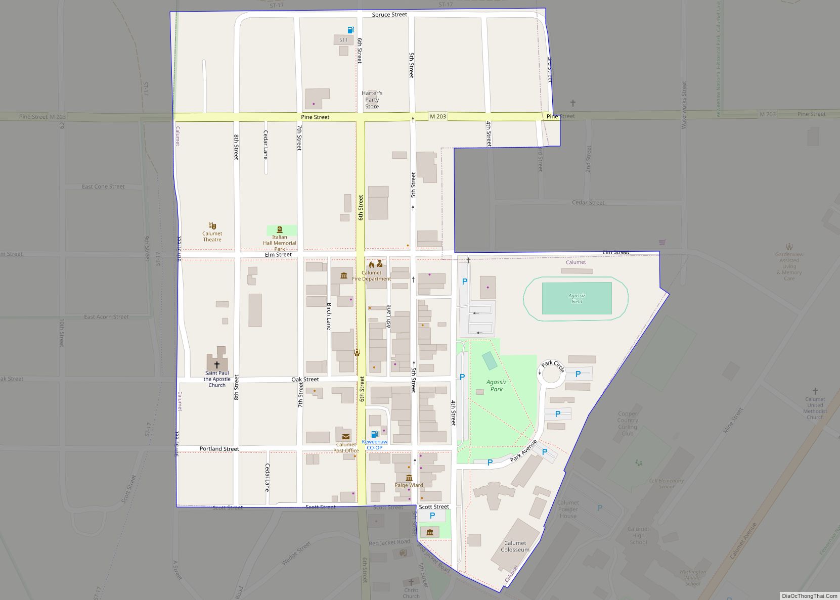
Online Interactive Map
Click on ![]() to view map in "full screen" mode.
to view map in "full screen" mode.
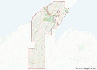
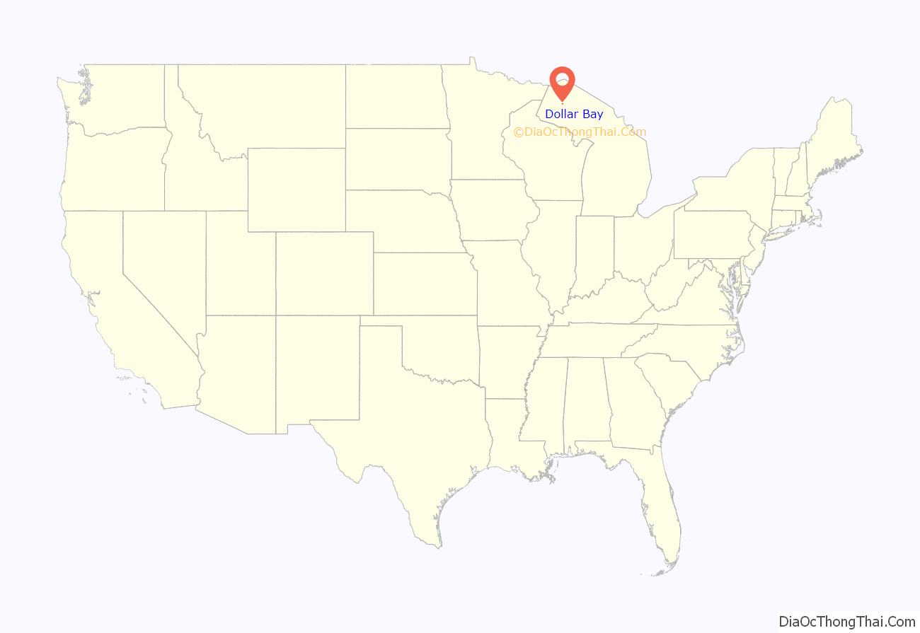
Dollar Bay location map. Where is Dollar Bay CDP?

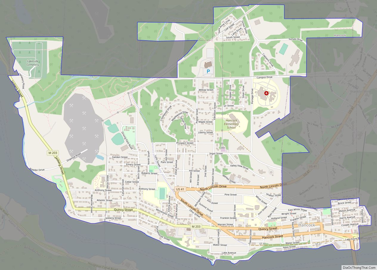
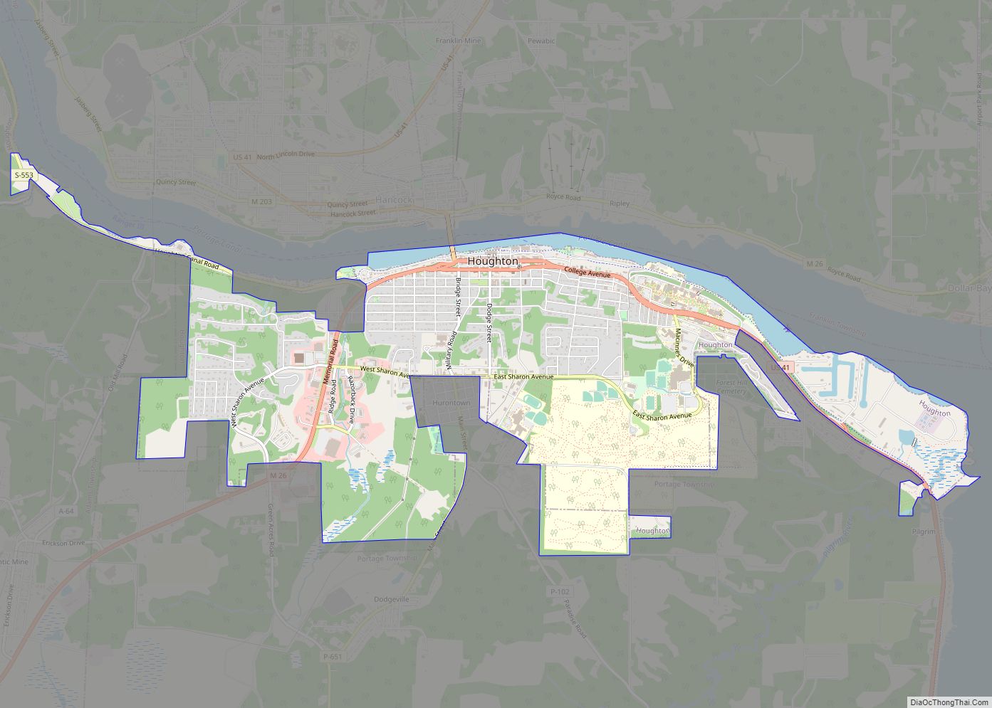
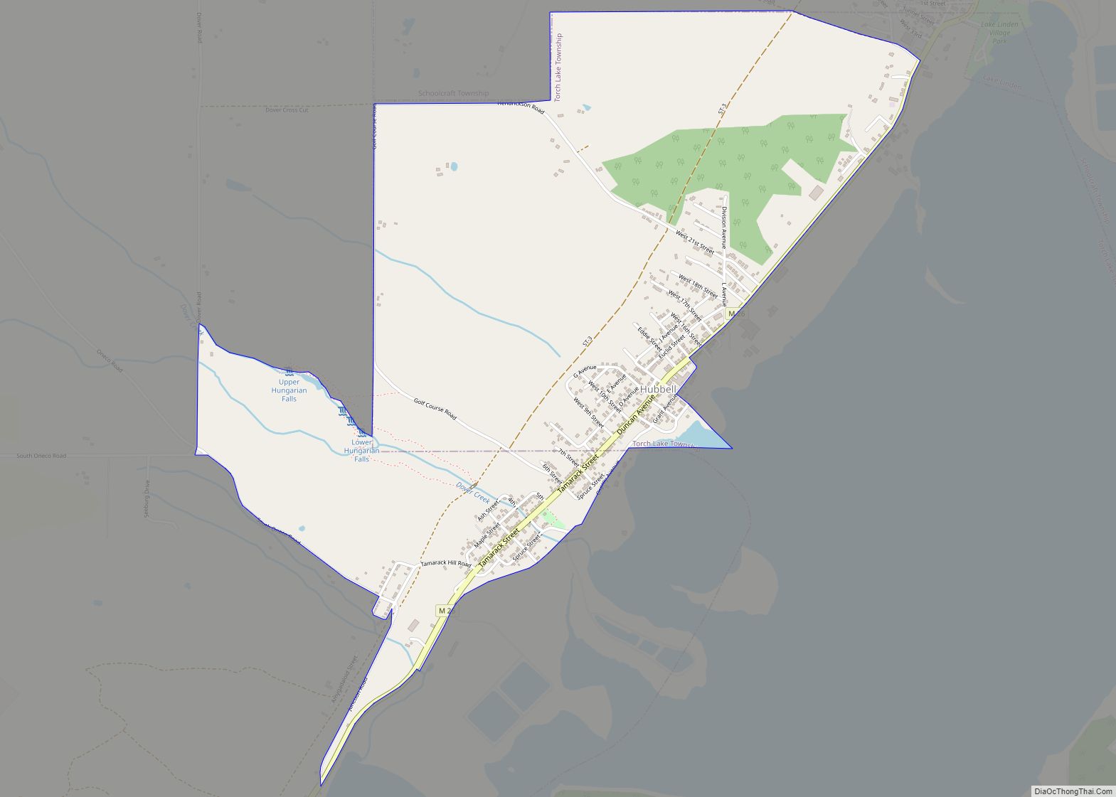
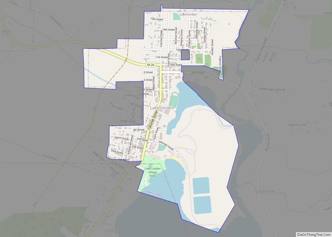
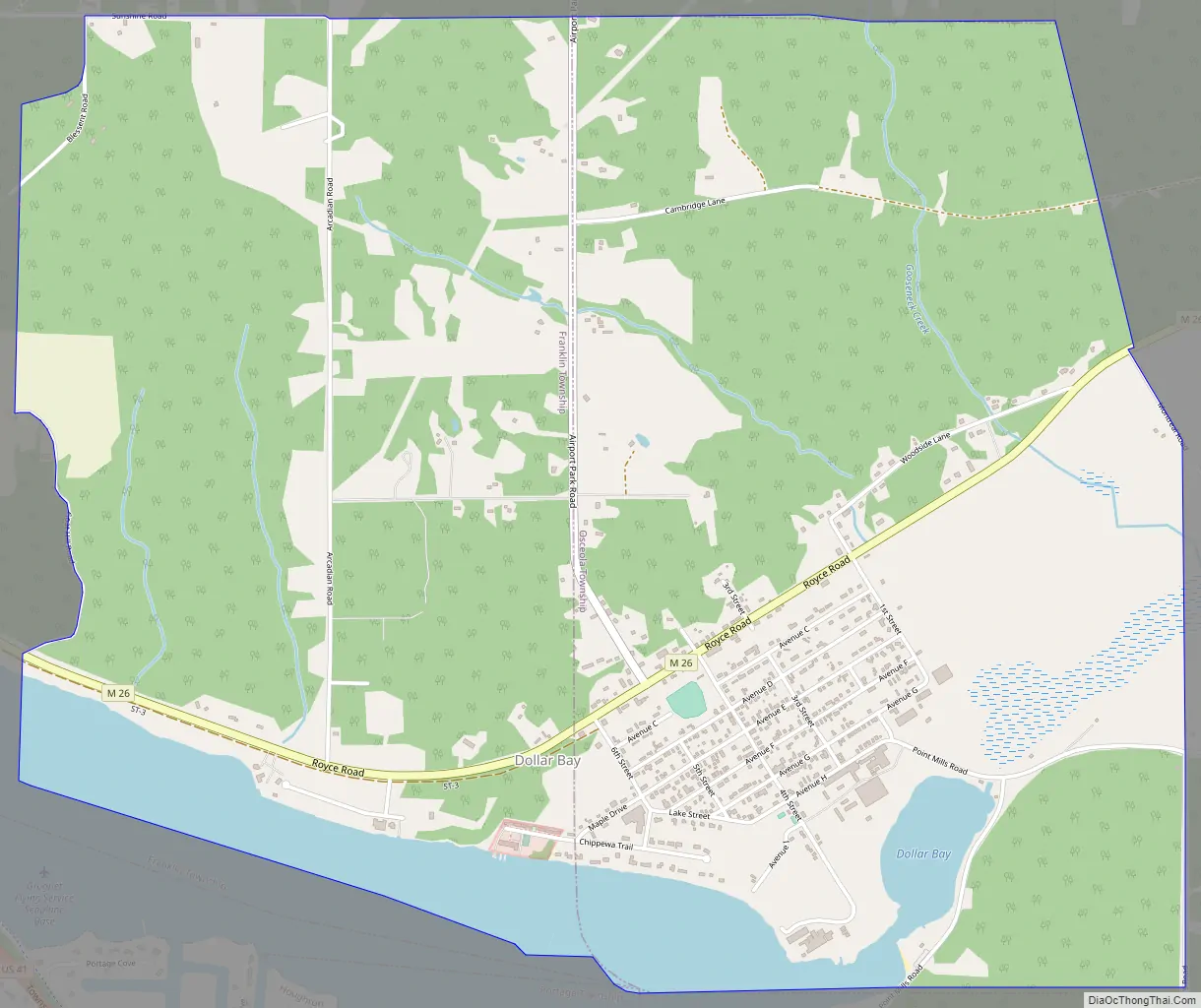
Dollar Bay Road Map
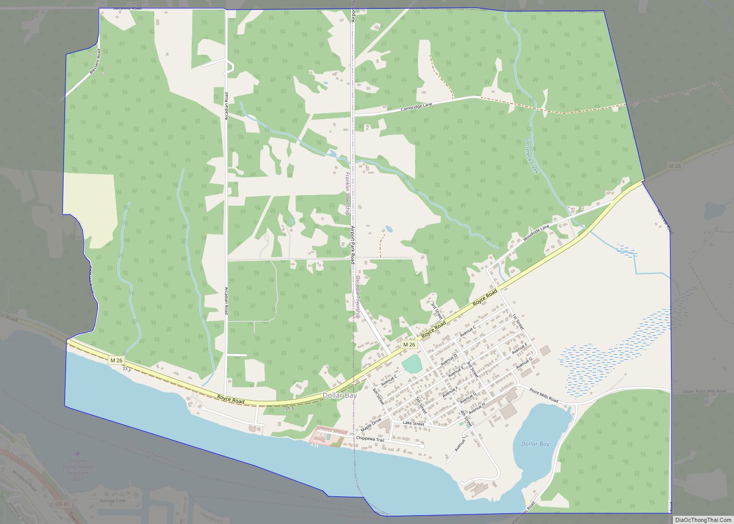
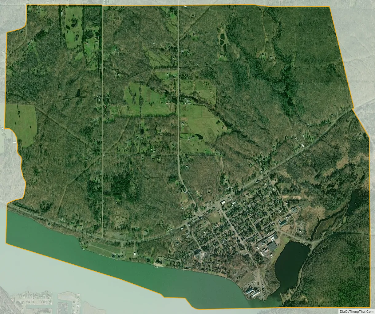
Dollar Bay city Satellite Map
Geography
Dollar Bay is located in the southwest corner of Osceola Township. The CDP extends west into Franklin Township as far as Goat Hill Road and south into Torch Lake Township. The community takes its name from Dollar Bay, a small inlet of Portage Lake, the water body that separates the Keweenaw Peninsula from the rest of the Upper Peninsula of Michigan.
M-26 is the main highway through Dollar Bay, leading west 3 miles (5 km) to Hancock and northeast 5 miles (8 km) to Hubbell.
According to the United States Census Bureau, the Dollar Bay CDP has a total area of 4.6 square miles (12.0 km), of which 4.1 square miles (10.5 km) are land and 0.5 square miles (1.4 km), or 12.05%, are water.
See also
Map of Michigan State and its subdivision:- Alcona
- Alger
- Allegan
- Alpena
- Antrim
- Arenac
- Baraga
- Barry
- Bay
- Benzie
- Berrien
- Branch
- Calhoun
- Cass
- Charlevoix
- Cheboygan
- Chippewa
- Clare
- Clinton
- Crawford
- Delta
- Dickinson
- Eaton
- Emmet
- Genesee
- Gladwin
- Gogebic
- Grand Traverse
- Gratiot
- Hillsdale
- Houghton
- Huron
- Ingham
- Ionia
- Iosco
- Iron
- Isabella
- Jackson
- Kalamazoo
- Kalkaska
- Kent
- Keweenaw
- Lake
- Lake Hurron
- Lake Michigan
- Lake St. Clair
- Lake Superior
- Lapeer
- Leelanau
- Lenawee
- Livingston
- Luce
- Mackinac
- Macomb
- Manistee
- Marquette
- Mason
- Mecosta
- Menominee
- Midland
- Missaukee
- Monroe
- Montcalm
- Montmorency
- Muskegon
- Newaygo
- Oakland
- Oceana
- Ogemaw
- Ontonagon
- Osceola
- Oscoda
- Otsego
- Ottawa
- Presque Isle
- Roscommon
- Saginaw
- Saint Clair
- Saint Joseph
- Sanilac
- Schoolcraft
- Shiawassee
- Tuscola
- Van Buren
- Washtenaw
- Wayne
- Wexford
- Alabama
- Alaska
- Arizona
- Arkansas
- California
- Colorado
- Connecticut
- Delaware
- District of Columbia
- Florida
- Georgia
- Hawaii
- Idaho
- Illinois
- Indiana
- Iowa
- Kansas
- Kentucky
- Louisiana
- Maine
- Maryland
- Massachusetts
- Michigan
- Minnesota
- Mississippi
- Missouri
- Montana
- Nebraska
- Nevada
- New Hampshire
- New Jersey
- New Mexico
- New York
- North Carolina
- North Dakota
- Ohio
- Oklahoma
- Oregon
- Pennsylvania
- Rhode Island
- South Carolina
- South Dakota
- Tennessee
- Texas
- Utah
- Vermont
- Virginia
- Washington
- West Virginia
- Wisconsin
- Wyoming