Hunt County is a county in the U.S. state of Texas. As of the 2020 census, its population was 99,956. Its county seat is Greenville. The county is named for Memucan Hunt, Jr., the first Republic of Texas Minister to the United States from 1837 to 1838 and the third Texas Secretary of the Navy from 1838 to 1839. Hunt County is part of the Dallas-Fort Worth–Arlington metropolitan statistical area.
| Name: | Hunt County |
|---|---|
| FIPS code: | 48-231 |
| State: | Texas |
| Founded: | 1846 |
| Named for: | Memucan Hunt, Jr. |
| Seat: | Greenville |
| Largest city: | Greenville |
| Total Area: | 882 sq mi (2,280 km²) |
| Land Area: | 840 sq mi (2,200 km²) |
| Total Population: | 99,956 |
| Population Density: | 110/sq mi (44/km²) |
| Time zone: | UTC−6 (Central) |
| Summer Time Zone (DST): | UTC−5 (CDT) |
| Website: | www.huntcounty.net |
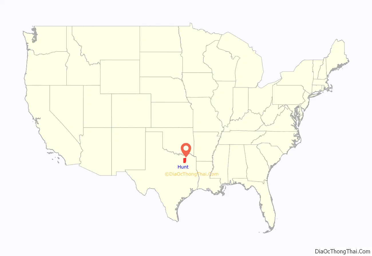
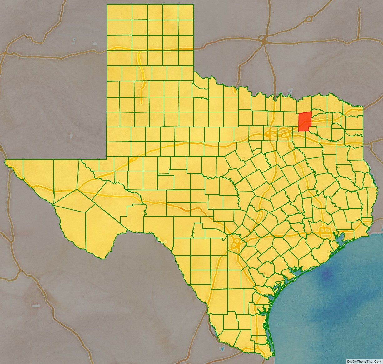
Hunt County location map. Where is Hunt County?
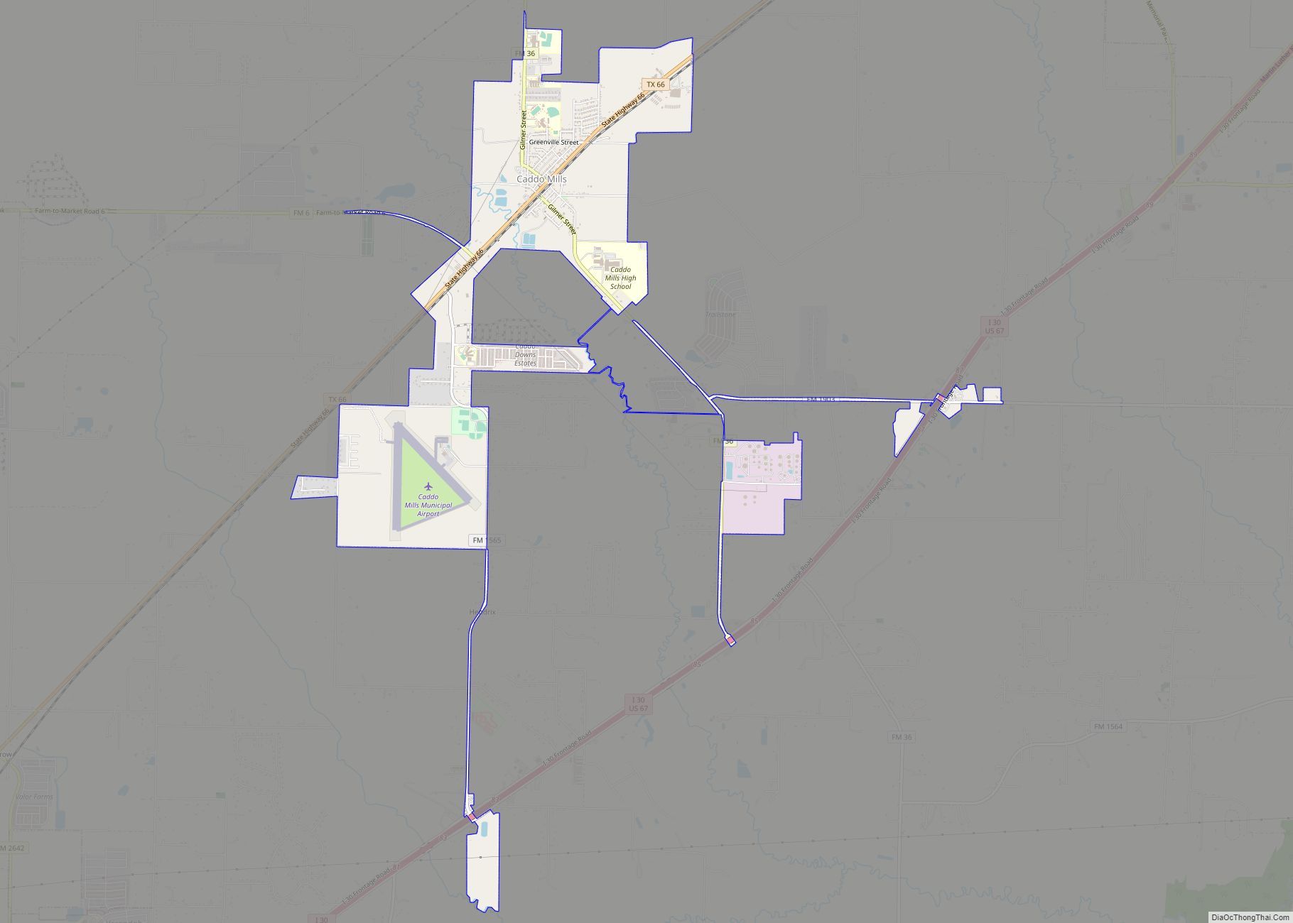
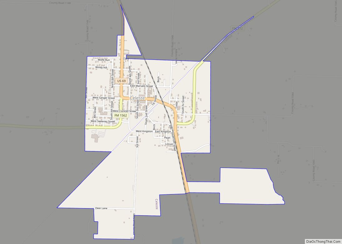
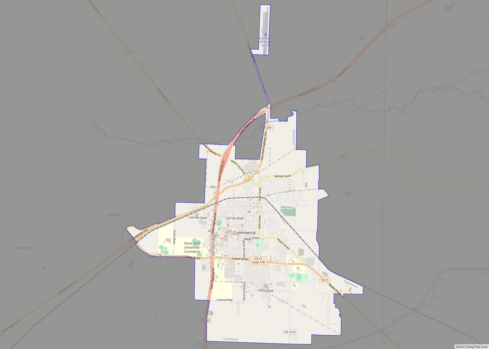
Hunt County Road Map
Geography
According to the U.S. Census Bureau, the county has a total area of 882 square miles (2,280 km), of which 840 square miles (2,200 km) are land and 42 square miles (110 km) (4.7%) are covered by water.
Lakes
- Lake Tawakoni
Major highways
- Interstate 30
- U.S. Highway 67
- U.S. Highway 69
- U.S. Highway 380
- State Highway 11
- State Highway 24
- State Highway 34
- State Highway 50
- State Highway 66
- State Highway 224
- State Highway 276
- Loop 178
- Spur 302
Adjacent counties
- Fannin County (north)
- Delta County (northeast)
- Hopkins County (east)
- Rains County (southeast)
- Van Zandt County (southeast)
- Kaufman County (south)
- Rockwall County (southwest)
- Collin County (west)
