Plaquemine is a city in and the parish seat of Iberville Parish, Louisiana, United States. It is part of the Baton Rouge metropolitan statistical area. At the 2010 United States census, the population was 7,119; the 2020 census determined its population was 6,269.
| Name: | Plaquemine city |
|---|---|
| LSAD Code: | 25 |
| LSAD Description: | city (suffix) |
| State: | Louisiana |
| County: | Iberville Parish |
| Incorporated: | 1838 |
| Elevation: | 23 ft (7 m) |
| Total Area: | 3.01 sq mi (7.78 km²) |
| Land Area: | 2.92 sq mi (7.57 km²) |
| Water Area: | 0.08 sq mi (0.21 km²) |
| Total Population: | 6,269 |
| Population Density: | 2,144.71/sq mi (828.08/km²) |
| ZIP code: | 70764 |
| Area code: | 225 |
| FIPS code: | 2260880 |
| Website: | www.plaquemine.org |
Online Interactive Map
Click on ![]() to view map in "full screen" mode.
to view map in "full screen" mode.
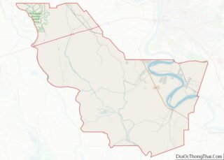
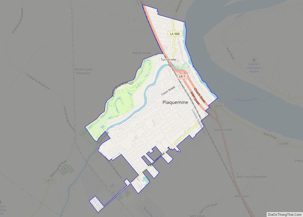
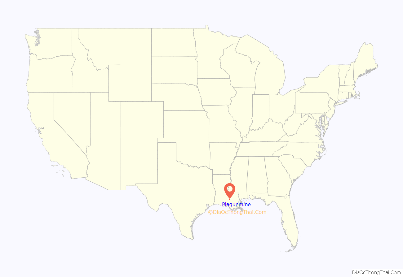
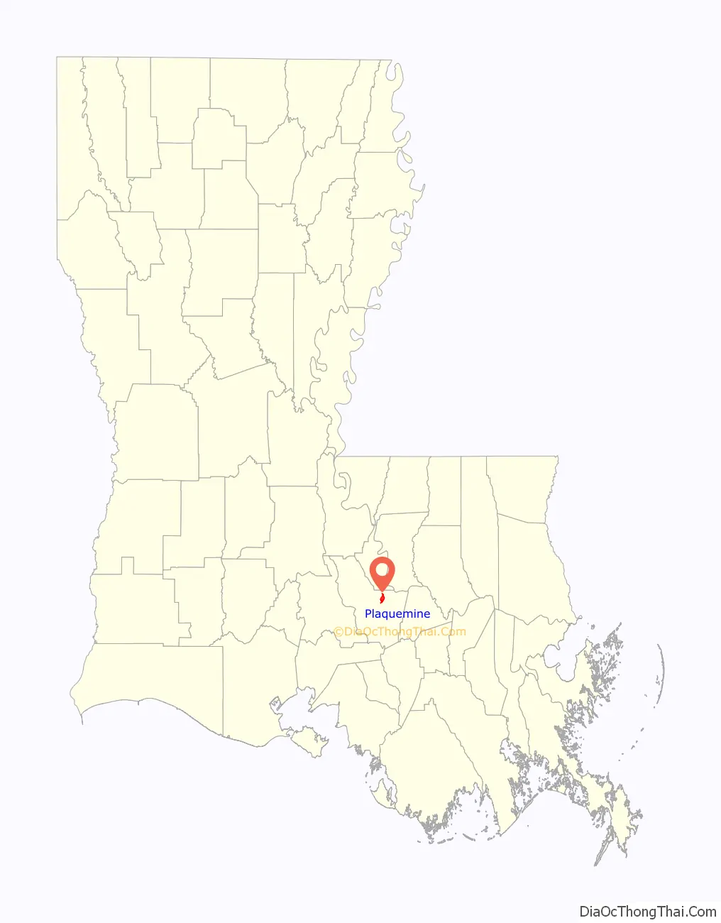
Plaquemine location map. Where is Plaquemine city?
History
Early inhabitants of the area were the Chitimacha people. Pierre Le Moyne d’Iberville claimed all of Louisiana in 1699 for King Louis XIV of France. Plaquemine was settled by 1775 and named for the Native word Plakemine, which means persimmon.
Due to its location at the juncture of the Bayou Plaquemine and the Mississippi River, the village soon began to prosper and grow, beginning a long history of prosperity. By 1838, the town was incorporated, electing Zénon Labauve, for whom a street in New Orleans’ Garden District is named, as its first mayor.
Plaquemine continued to grow in the Antebellum era. Massive plantations were established in nearby regions, including St. Louis, Nottoway, and Belle Grove. The town has been the seat of Iberville Parish government since its incorporation. The second parish courthouse (c. 1906) on Railroad Avenue has been serving as City Hall since 1985. Plaquemine did not have a hospital until 1923.
Plaquemine has been a Louisiana-designated Main Street City since 1993. There are ten properties listed for Plaquemine on the National Register of Historic Places in Iberville Parish, Louisiana.
Plaquemine Road Map
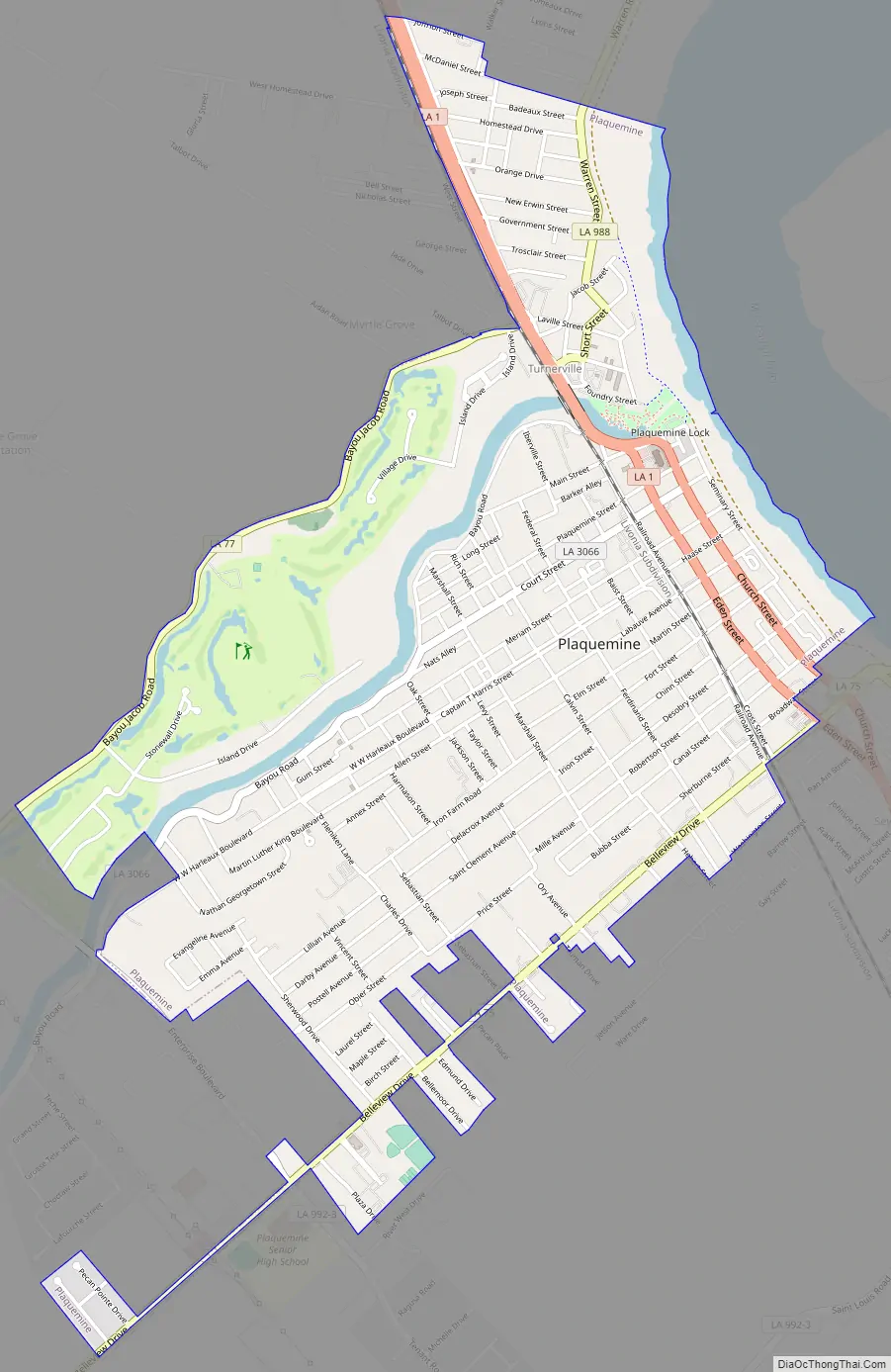
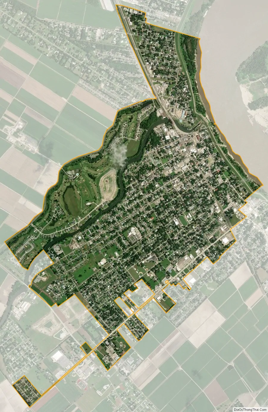
Plaquemine city Satellite Map
Geography
The city of Plaquemine is located at 30°17′3″N 91°14′26″W / 30.28417°N 91.24056°W / 30.28417; -91.24056 (30.284044, −91.240485) and has an elevation of 23 feet (7.0 m) above sea level. Plaquemine is located at the junction of Bayou Plaquemine and the Mississippi River. The city itself is surrounded by farmland; beyond the farmland to the west lies nearly uninhabited swampland.
According to the United States Census Bureau, the city has a total area of 3.0 square miles (7.8 km), of which 2.9 square miles (7.6 km) are land and 0.1 square miles (0.2 km), or 2.75%, are water. It lies within the Baton Rouge metropolitan area.
See also
Map of Louisiana State and its subdivision:- Acadia
- Allen
- Ascension
- Assumption
- Avoyelles
- Beauregard
- Bienville
- Bossier
- Caddo
- Calcasieu
- Caldwell
- Cameron
- Catahoula
- Claiborne
- Concordia
- De Soto
- East Baton Rouge
- East Carroll
- East Feliciana
- Evangeline
- Franklin
- Grant
- Iberia
- Iberville
- Jackson
- Jefferson
- Jefferson Davis
- La Salle
- Lafayette
- Lafourche
- Lincoln
- Livingston
- Madison
- Morehouse
- Natchitoches
- Orleans
- Ouachita
- Plaquemines
- Pointe Coupee
- Rapides
- Red River
- Richland
- Sabine
- Saint Bernard
- Saint Charles
- Saint Helena
- Saint James
- Saint John the Baptist
- Saint Landry
- Saint Martin
- Saint Mary
- Saint Tammany
- Tangipahoa
- Tensas
- Terrebonne
- Union
- Vermilion
- Vernon
- Washington
- Webster
- West Baton Rouge
- West Carroll
- West Feliciana
- Winn
- Alabama
- Alaska
- Arizona
- Arkansas
- California
- Colorado
- Connecticut
- Delaware
- District of Columbia
- Florida
- Georgia
- Hawaii
- Idaho
- Illinois
- Indiana
- Iowa
- Kansas
- Kentucky
- Louisiana
- Maine
- Maryland
- Massachusetts
- Michigan
- Minnesota
- Mississippi
- Missouri
- Montana
- Nebraska
- Nevada
- New Hampshire
- New Jersey
- New Mexico
- New York
- North Carolina
- North Dakota
- Ohio
- Oklahoma
- Oregon
- Pennsylvania
- Rhode Island
- South Carolina
- South Dakota
- Tennessee
- Texas
- Utah
- Vermont
- Virginia
- Washington
- West Virginia
- Wisconsin
- Wyoming