Jackson County is a county located in the U.S. state of Indiana. As of 2010, the population was 42,376. The county seat is Brownstown.
| Name: | Jackson County |
|---|---|
| FIPS code: | 18-071 |
| State: | Indiana |
| Founded: | Jan 1, 1816 |
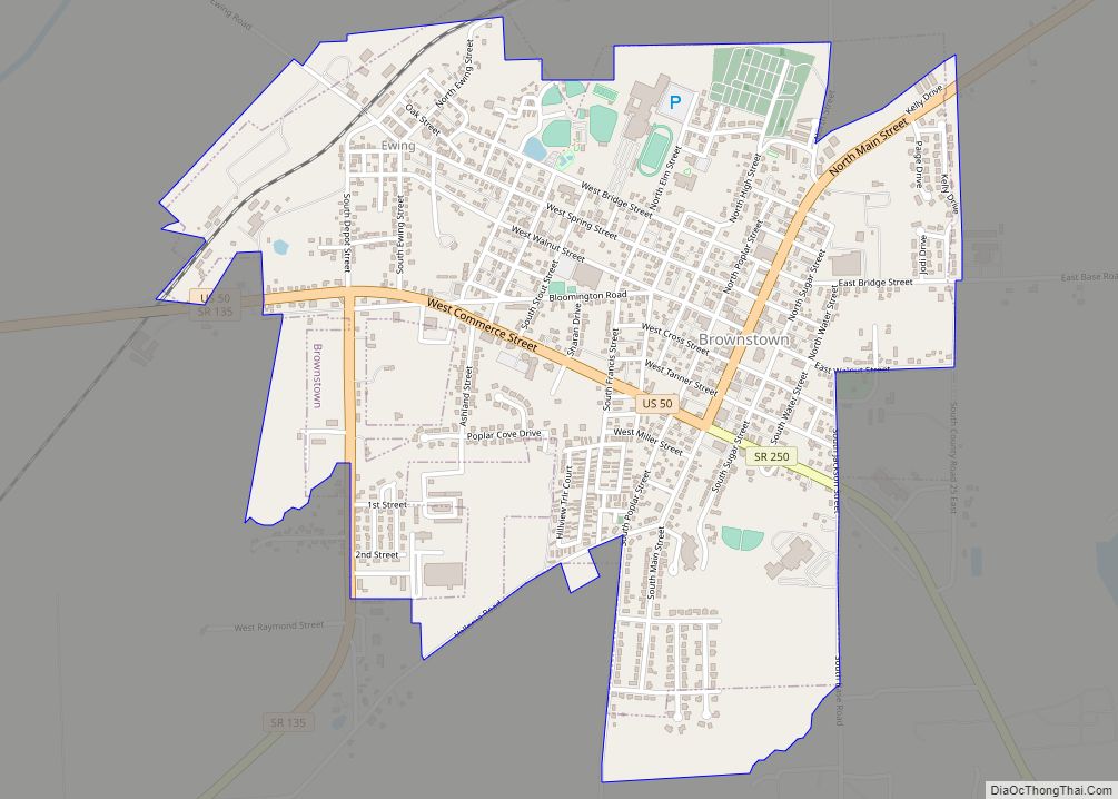
| Seat: | Brownstown |
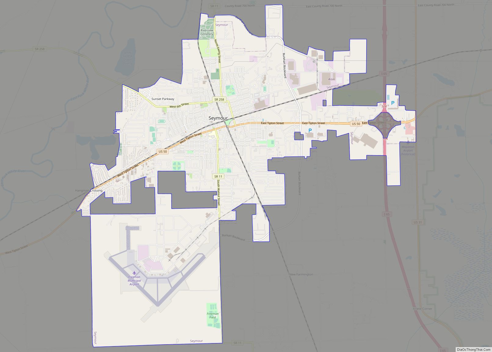
| Largest city: | Seymour |
| Total Area: | 513.91 sq mi (1,331.0 km²) |
| Land Area: | 509.31 sq mi (1,319.1 km²) |
| Population Density: | 83/sq mi (32.12/km²) |
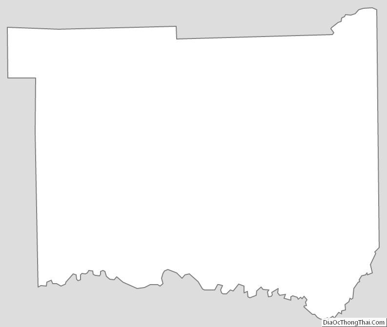
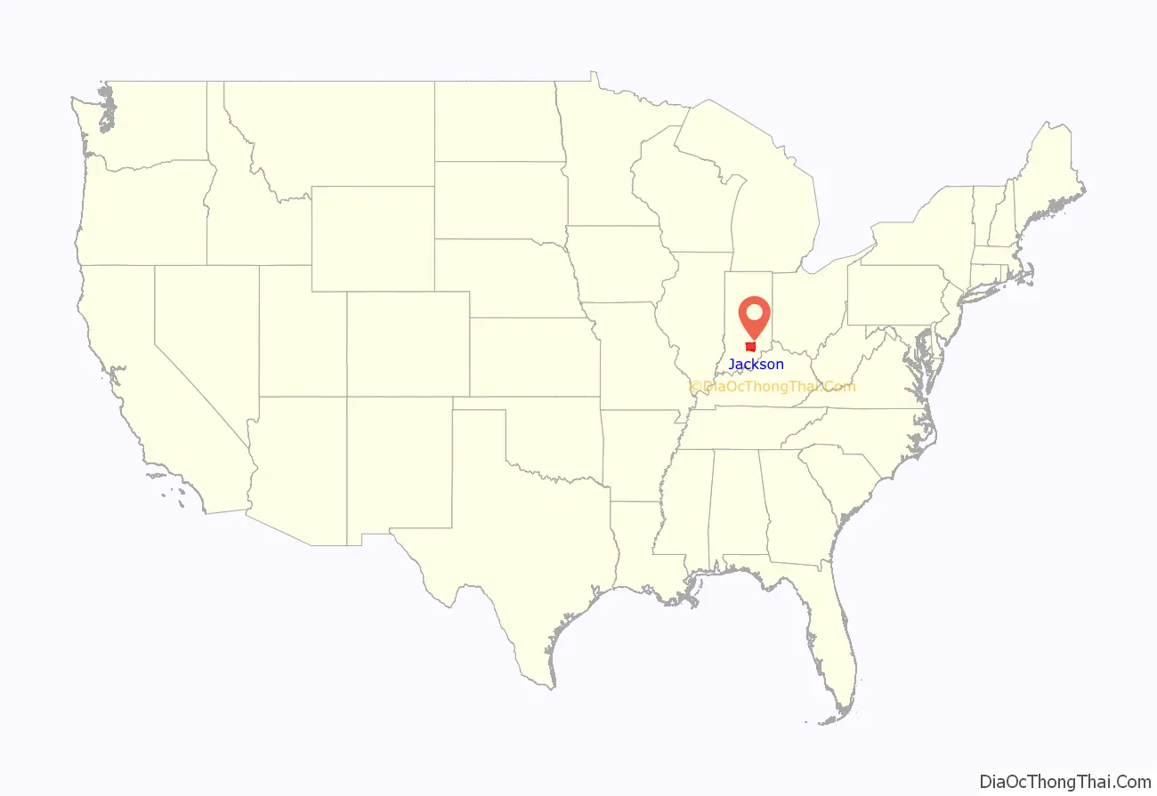
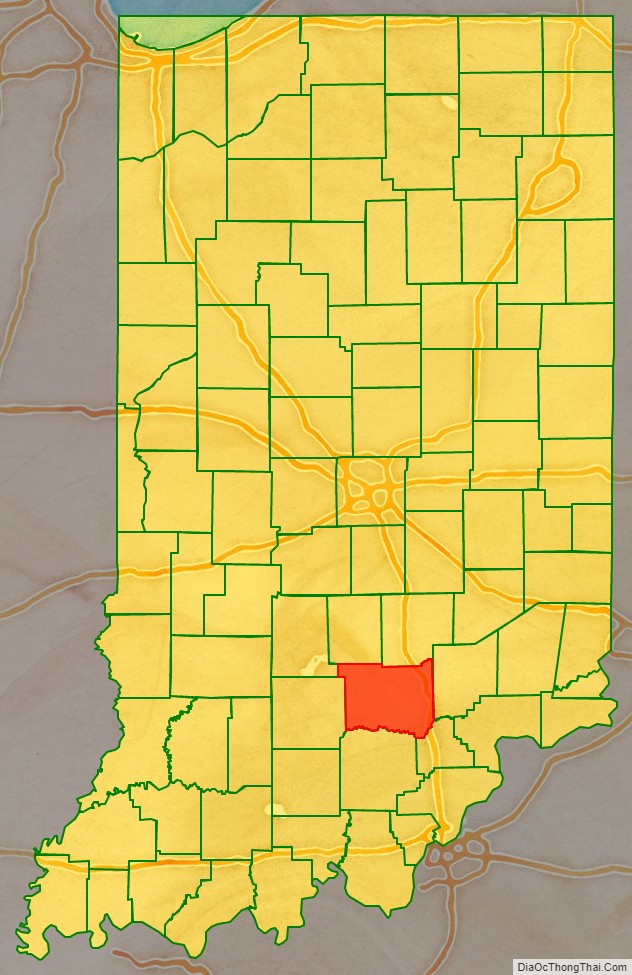
Jackson County location map. Where is Jackson County?
History
Jackson County was formed in 1816. It was named after General Andrew Jackson.
Jackson County was the site of the first recorded train robbery of a moving train in the United States. On October 6, 1866, the Reno Gang robbed an Ohio and Mississippi Railway train, making off with over $10,000.
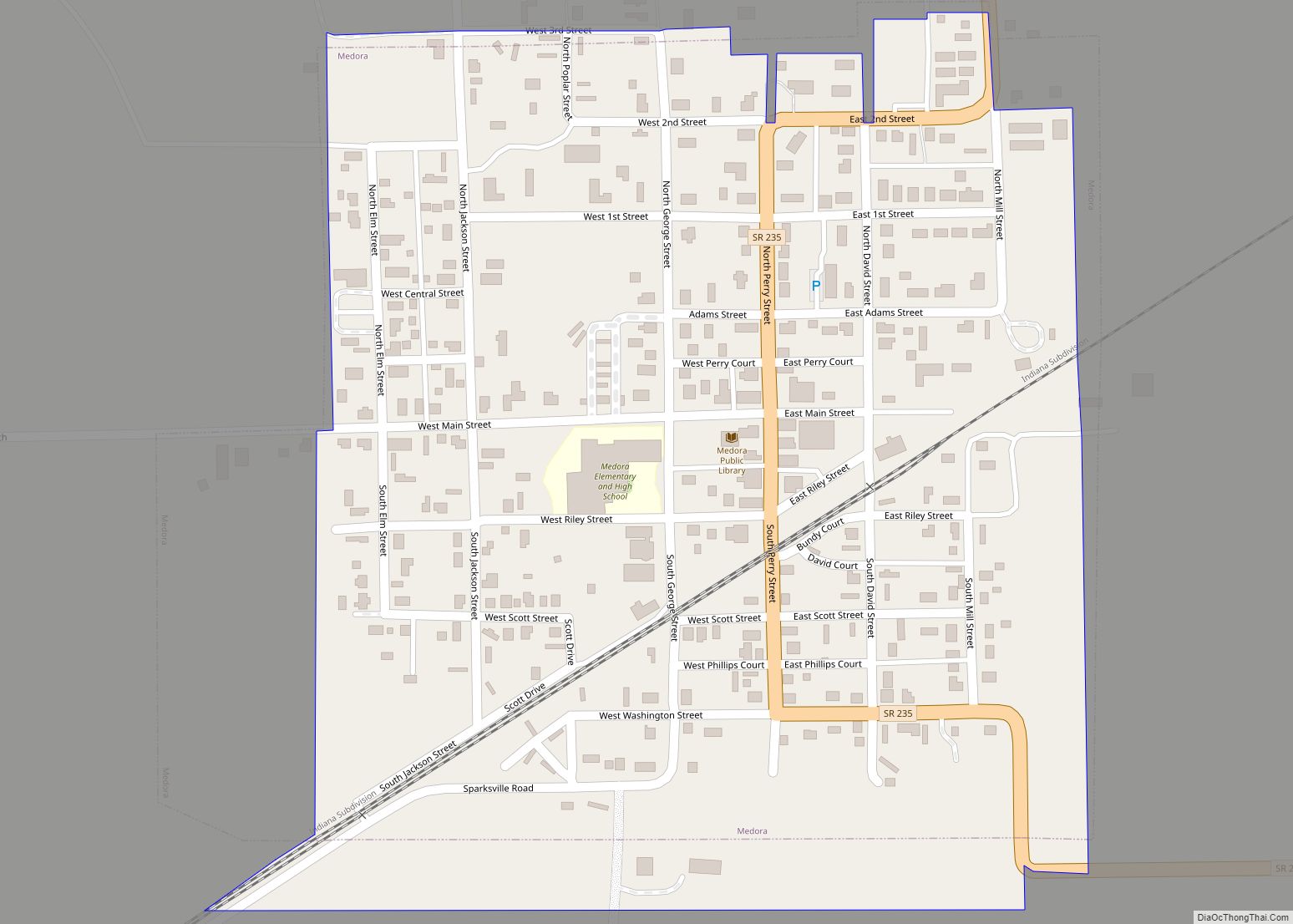
Jackson County has the second longest 3-span covered bridge in the world; The Medora Covered Bridge. After a recent project to completely refurbish the Medora Covered Bridge, the nearby town of Medora now holds an annual event at the bridge. The bridge is open for pedestrian traffic and site-seers. Another long neglected covered bridge, the Bells Ford Bridge, believed to have been the last remaining Post Truss bridge in the world, succumbed to neglect, collapsing into the White River on January 2, 2006.
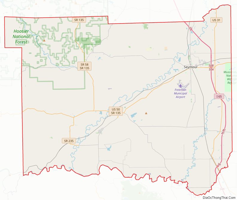
Jackson County Road Map
Geography
According to the 2010 census, the county has a total area of 513.91 square miles (1,331.0 km), of which 509.31 square miles (1,319.1 km) (or 99.10%) is land and 4.60 square miles (11.9 km) (or 0.90%) is water.
Cities
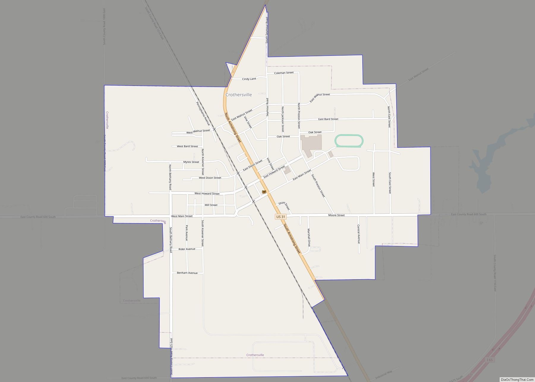
Towns
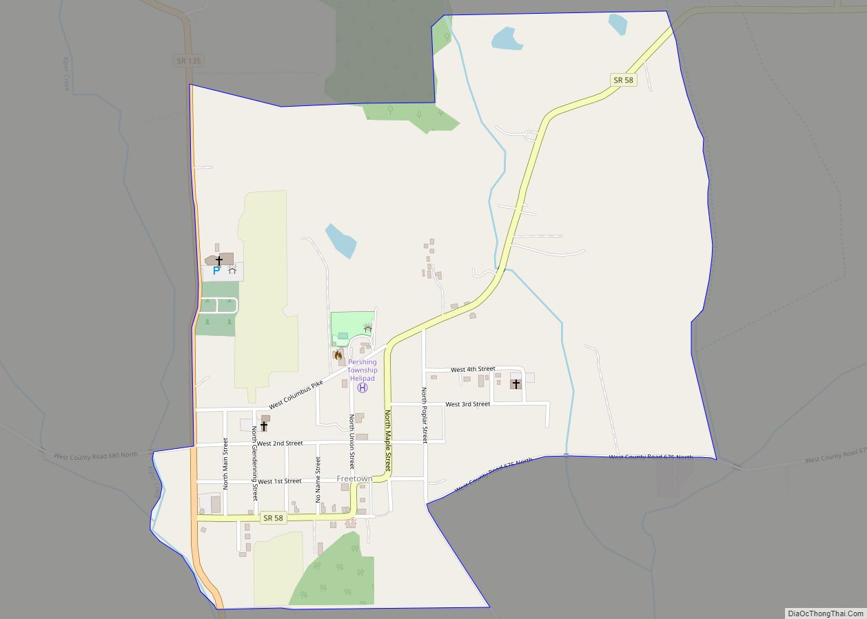
Census-designated places
Other unincorporated places
- Kurtz
- Norman Station
- Tampico
- Uniontown
Townships
- Brownstown
- Carr
- Driftwood
- Grassy Fork
- Hamilton
- Jackson
- Owen
- Pershing
- Redding
- Salt Creek
- Vernon
- Washington
Adjacent counties
- Brown County (north-northwest)
- Bartholomew County (north-northeast)
- Jennings County (east)
- Scott County (southeast)
- Washington County (south)
- Lawrence County (west)
- Monroe County (northwest)
Major highways
Sources: National Atlas, U.S. Census Bureau
- Interstate 65
- U.S. Route 31
- U.S. Route 50
- State Road 11
- State Road 39
- State Road 58
- State Road 135
- State Road 235
- State Road 250
- State Road 256
- State Road 258
National protected areas
- Hoosier National Forest (part)
- Muscatatuck National Wildlife Refuge (part)
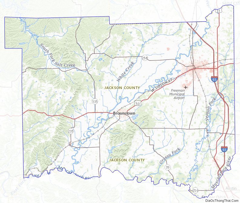
Jackson County Topographic Map
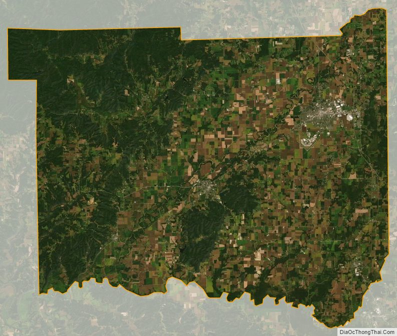
Jackson County Satellite Map
Jackson County Outline Map