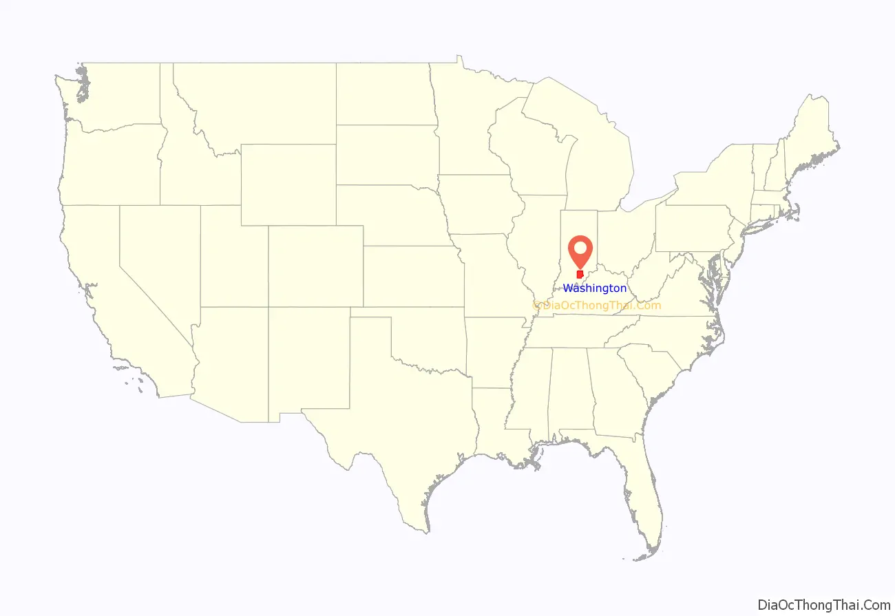
Washington County is a county in the U.S. state of Indiana. As of the 2010 United States Census, the population was 28,262. The county seat (and the county’s only incorporated city) is Salem.
Washington County is part of the Louisville metropolitan area.
| Name: | Washington County |
|---|---|
| FIPS code: | 18-175 |
| State: | Indiana |
| Founded: | 1814 |
| Named for: | George Washington |
| Seat: | Salem |
| Largest city: | Salem |
| Total Area: | 516.60 sq mi (1,338.0 km²) |
| Land Area: | 513.72 sq mi (1,330.5 km²) |
| Population Density: | 54.4/sq mi (21.0/km²) |
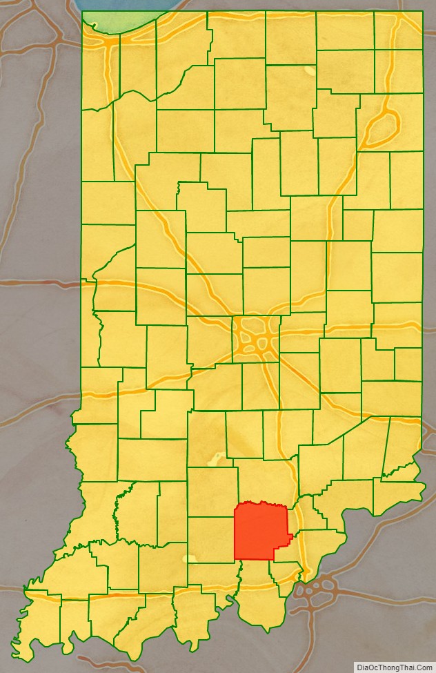
Washington County location map. Where is Washington County?
History
In 1787, the fledgling United States defined the Northwest Territory, which included the area of present-day Indiana. In 1800, Congress separated Ohio from the Northwest Territory, designating the rest of the land as the Indiana Territory. President Thomas Jefferson chose William Henry Harrison as the territory’s first governor, and Vincennes was established as the territorial capital. After the Michigan Territory was separated and the Illinois Territory was formed, Indiana was reduced to its current size and geography.
In 1790 Knox County was laid out. In 1801, Clark County was established, and in 1808 Harrison County was laid out, including the territory of the future Washington County.
Starting in 1794, Native American titles to Indiana lands were extinguished by usurpation, purchase, or war and treaty. The United States acquired land from the Native Americans in the Treaty of Grouseland (1805), by which a large portion of the southern Indiana Territory became property of the government. This included the future Washington County. As early as 1802, a man named Frederick Royce lived among the Ox Indians at a place known as the Lick, two miles east of Salem and is probably the first white man to inhabit this county. He was a hunter-trader and salt manufacturer. In 1803, Thomas Hopper settled in this county near Hardinsburg. Washington County was created by act of the Territorial legislature dated 21 December 1813, taking territory from Harrison and Clark counties. Interim commissioners were named and directed to determine the proper choice of the seat of government. Accordingly, they began deliberating in January 1814, and by 2 February had selected an uninhabited site near the center, naming it ‘Salem’. In the territorial act creating the county, it was named for U.S. President George Washington, who had died fourteen years earlier.
On 1 September 1814 the original boundary of Washington County was increased, by act of the Territorial legislature, but on 26 December 1815 much of this added territory was partitioned off to create Orange and Jackson counties. In December 1816 the Indiana Territory was admitted to the Union as a state. On 12 January 1820 the state partitioned a further portion of Washington County to create Scott County. In 1842, and again in 1873, the border between Scott and Washington counties was adjusted.
In 1808 the first Black settlers arrived in the area along with white Quakers. In 1815 they established the Blue River Meeting House northeast of Salem. By 1850, 252 Black people had settled in the county, mainly living in Posey and Washington townships. The passing into law in 1851 of a new state constitution, in which, Article 13 excluded further settlement of Black and mixed-race persons was indicative of increasing hostility towards this population and saw a decline in Black residents of the county to 187 by 1860. In Posey Township, the population of 90 Black people in 1850 had decreased to zero by 1860.
Whitecapping, the process by which rural citizens used threats or extralegal violence to force Black people out of the region, continued in Washington County during the Civil War. In December 1864 John Williams, a prosperous Black farmer in the county, was shot dead in the doorway of his home. In 1867 Alexander White, an elderly man, was stabbed to death in Salem after repeatedly ignoring the threats of white attendees to quit coming to their church. These lynchings convinced people the county was not safe and contributed to a continual exodus of Black people from the county. In 1870, 18 Black people remained in the county, and by 1880 only three remained.
Salem, the county seat, had become a sundown town by 1898 at the latest. By the 20th century the entire county was officially sundown. A county history from 1916 declared that, “Washington County has for several decades boasted that no colored man or woman lived within her borders.” Sundown signs existed in the county, with one located near Canton, east of Salem. Law enforcement would not allow Black people to stop in Salem, and would escort them to the county line. Washington County remained sundown until 1990 at the latest, when 15 Black people were recorded living in Salem on that year’s census.
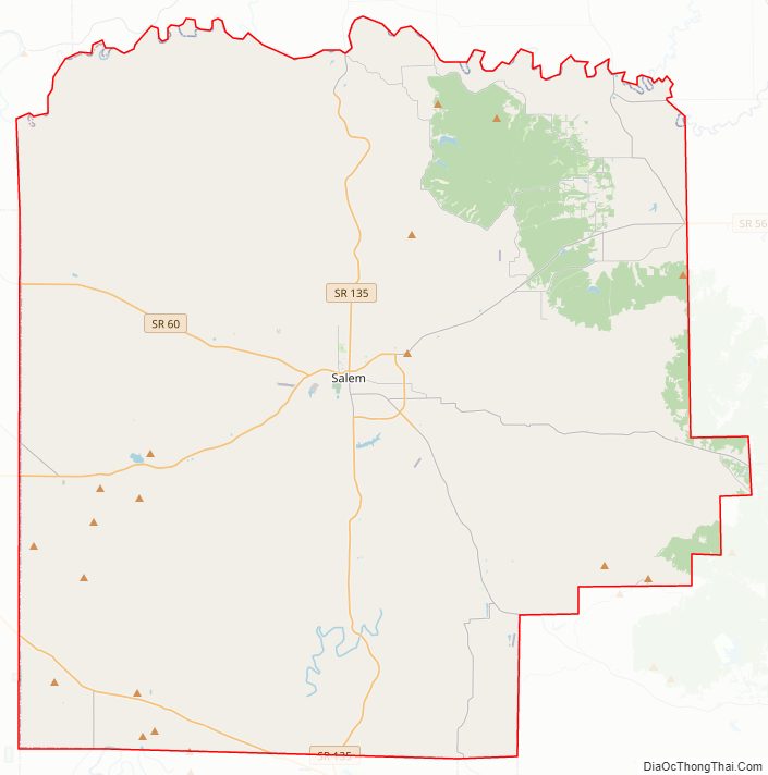
Washington County Road Map
Geography
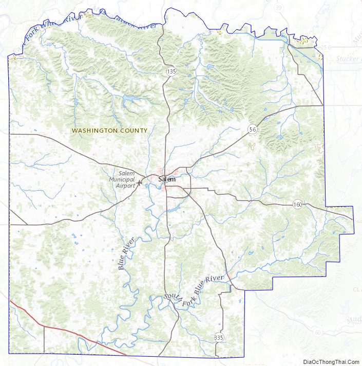
The low rolling hills of Washington County were tree-covered before settlement, but have been largely cleared and devoted to agriculture, although drainage areas are still wooded. The north portion of the county is drained by the Muscatatuck River, which forms the eastern portion of the county’s north border. The East Fork of the White River joins the Muscatatuck near the center of the county’s north line. The south part of the county is drained by the Blue River, which rises in the county and flows southwestward into Harrison County on its way to the Ohio River. The highest point on the terrain (1,050 feet (320 meters) ASL) is an isolated rise two miles (3.2 km) NNW from New Philadelphia in the eastern part.
According to the 2010 census, the county has a total area of 516.60 square miles (1,338.0 km), of which 513.72 square miles (1,330.5 km) (or 99.44%) is land and 2.87 square miles (7.4 km) (or 0.56%) is water.
Adjacent counties
- Jackson County − north
- Scott County − northeast
- Clark County − east
- Floyd County − southeast
- Harrison County − south
- Crawford County − southwest
- Orange County − west
- Lawrence County − northwest
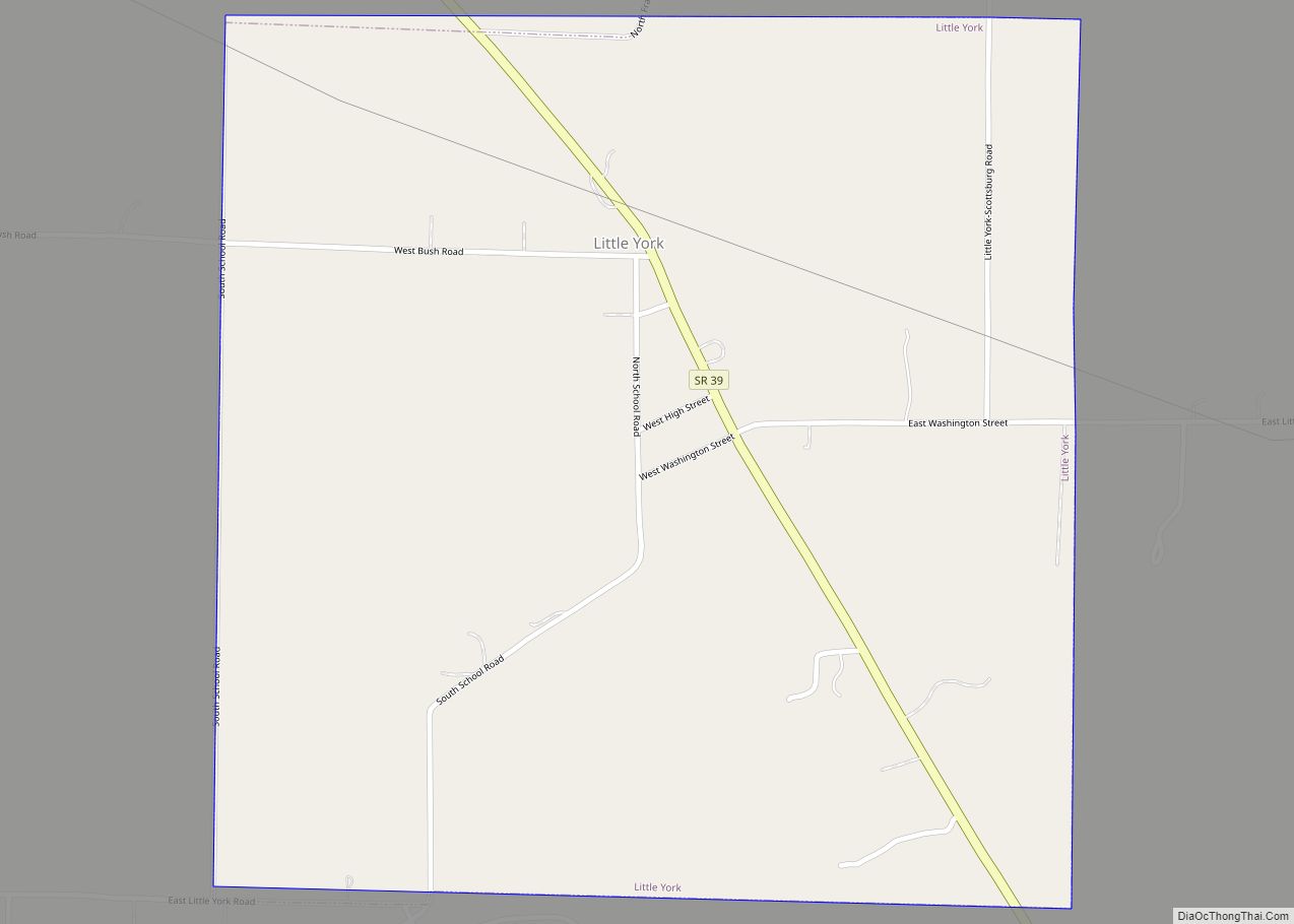
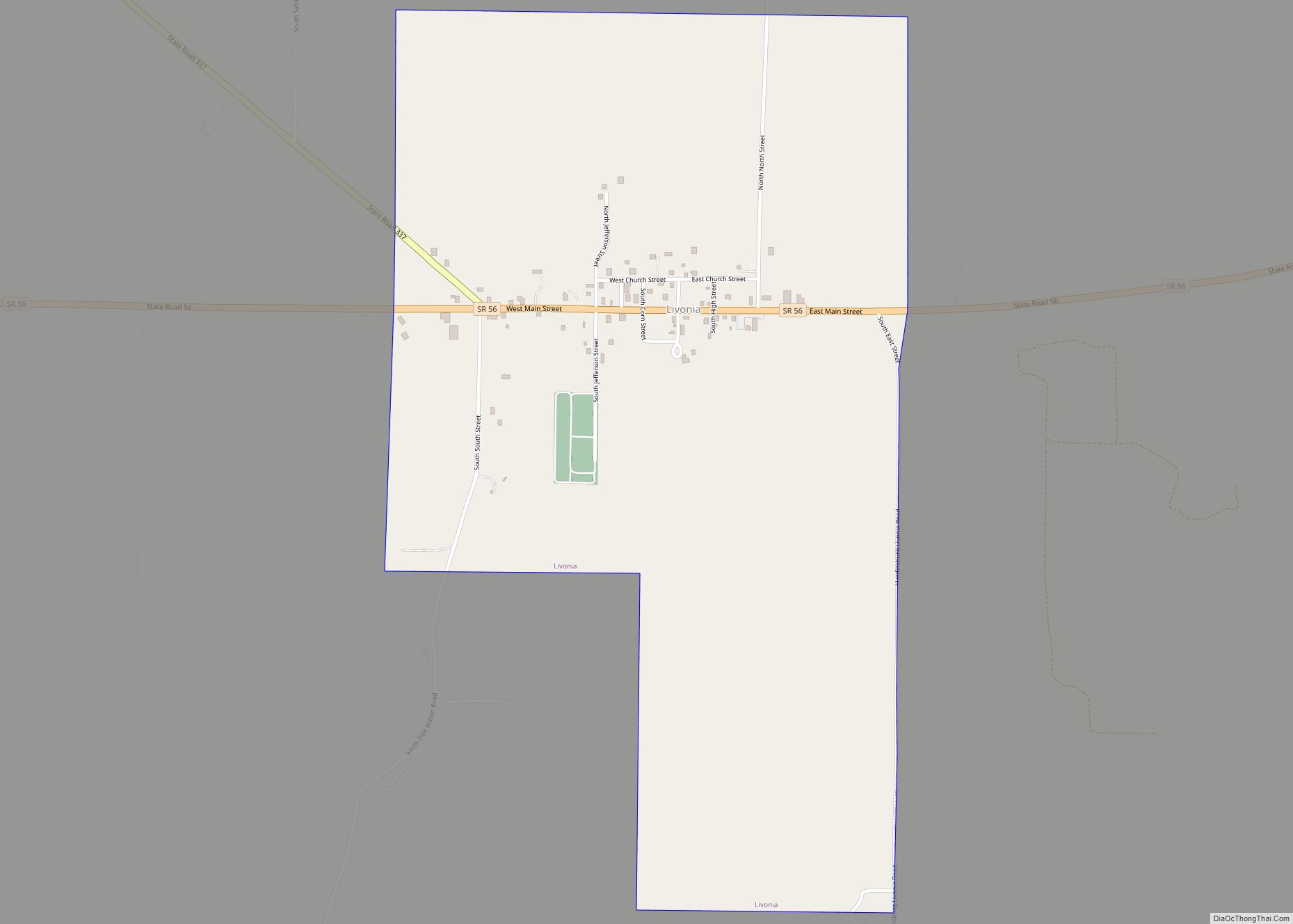
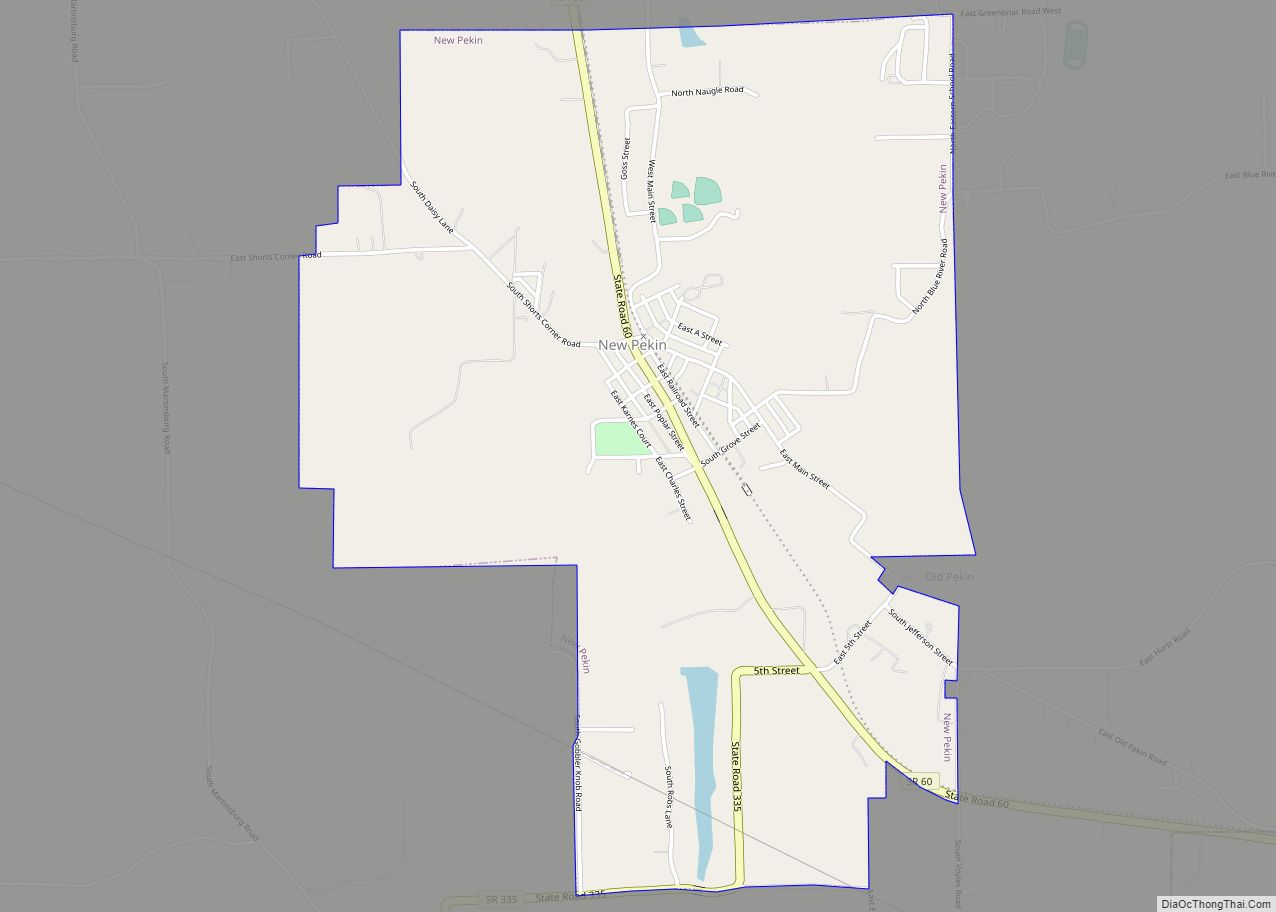
Communities
City
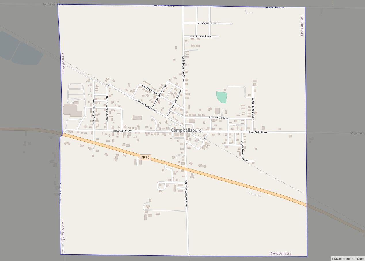
Towns
Unincorporated communities
- Bartle
- Beck’s Mill
- Blue River
- Brimstone Corners
- Bunker Hill
- Canton
- Claysville
- Daisy Hill
- Fairview
- Farabee
- Fayetteville
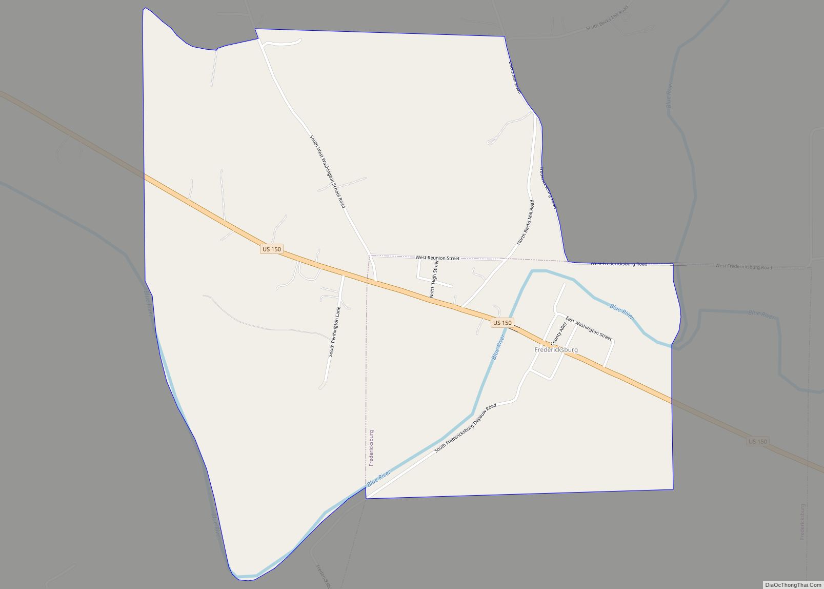
- Fredericksburg
- Georgetown
- Gooseport
- Haleysbury
- Harristown
- Highland
- Hitchcock
- Kossuth
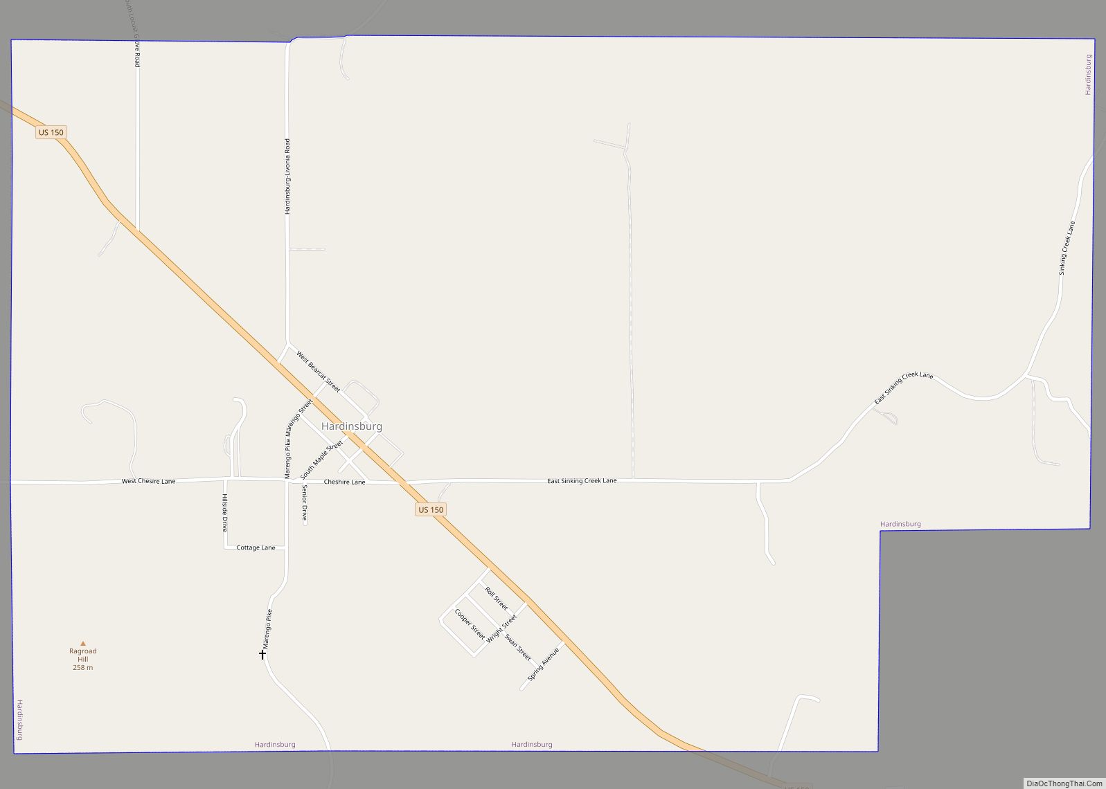
- Martinsburg
- McKinley
- Millport
- Mount Carmel
- New Liberty
- New Philadelphia
- New Salem
- Old Pekin
- Organ Springs
- Plattsburg
- Prowsville
- Pumpkin Center
- Rosebud
- Rush Creek Valley
- Shorts Corner
- Smedley
- South Boston
Townships
- Brown
- Franklin
- Gibson
- Howard
- Jackson
- Jefferson
- Madison
- Monroe
- Pierce
- Polk
- Posey
- Vernon
- Washington
Major highways
- U.S. Route 150
- Indiana State Road 39
- Indiana State Road 56
- Indiana State Road 60
- Indiana State Road 66
- Indiana State Road 135
- Indiana State Road 160
- Indiana State Road 256
- Indiana State Road 335
- Indiana State Road 337
Washington County Topographic Map
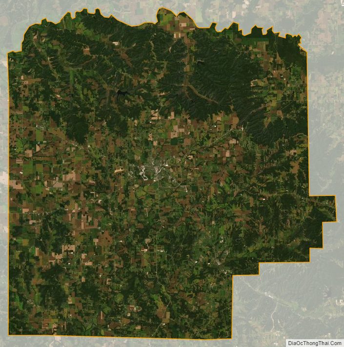
Washington County Satellite Map
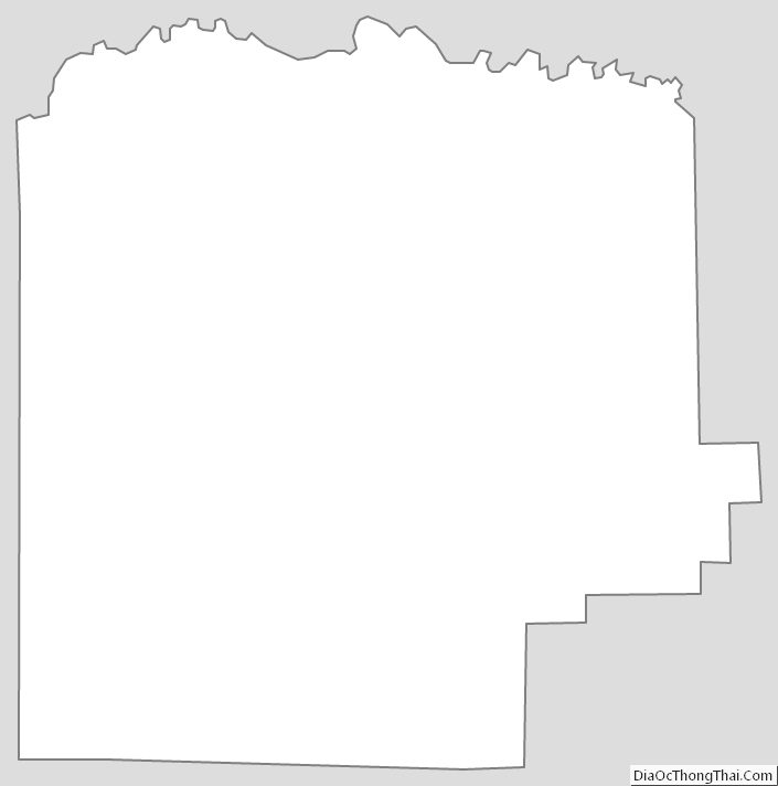
Washington County Outline Map