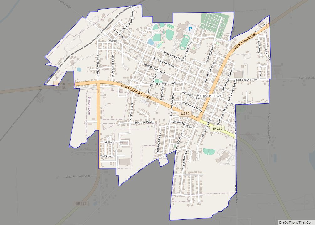
Brownstown is a town within Brownstown Township and the county seat of Jackson County, Indiana, United States. The population was 2,947 at the 2010 census. It was named for Jacob Brown, a general of the War of 1812.
| Name: | Brownstown town |
|---|---|
| LSAD Code: | 43 |
| LSAD Description: | town (suffix) |
| State: | Indiana |
| County: | Jackson County |
| Elevation: | 623 ft (190 m) |
| Total Area: | 1.62 sq mi (4.21 km²) |
| Land Area: | 1.62 sq mi (4.19 km²) |
| Water Area: | 0.01 sq mi (0.01 km²) |
| Total Population: | 3,025 |
| Population Density: | 1,868.44/sq mi (721.59/km²) |
| ZIP code: | 47220 |
| Area code: | 812 |
| FIPS code: | 1808470 |
| GNISfeature ID: | 0431647 |
Online Interactive Map
Click on ![]() to view map in "full screen" mode.
to view map in "full screen" mode.
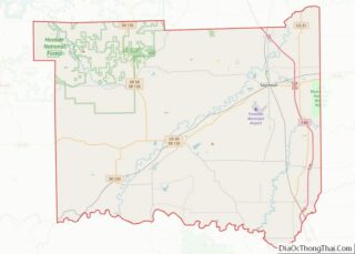
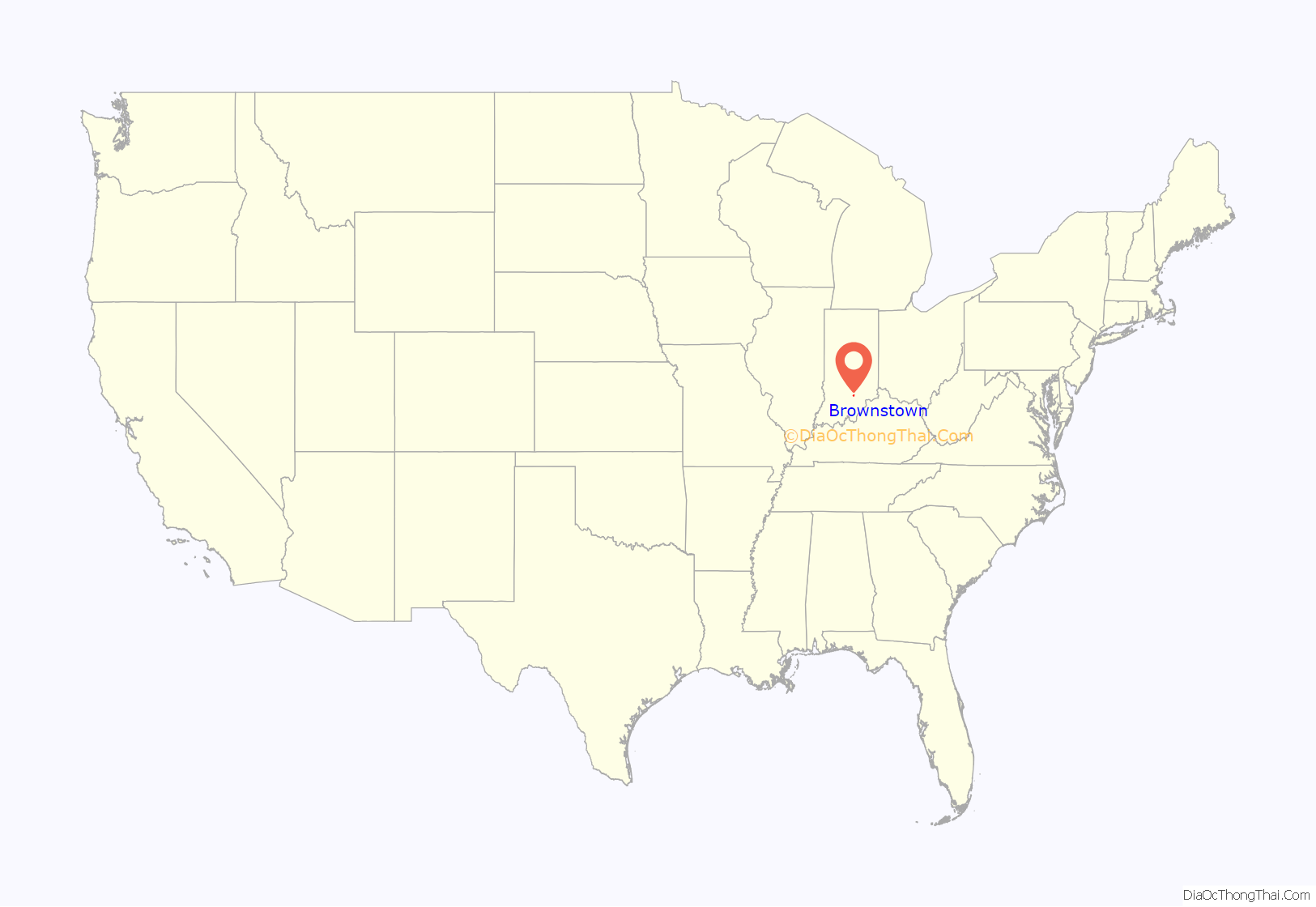
Brownstown location map. Where is Brownstown town?

History
The town of Brownstown was platted on 8 April 1816, notably prior to the statehood of Indiana itself. Brownstown became the county seat of Jackson County in November 1816, replacing Fort Vallonia, which had only been the county seat since June of that year. The land for the Jackson County Court House, which rests in the heart of Brownstown on the square, was donated by Col. John Ketcham (1782–1865) for this specific function.
The Jackson County Courthouse was listed on the National Register of Historic Places in 2011.
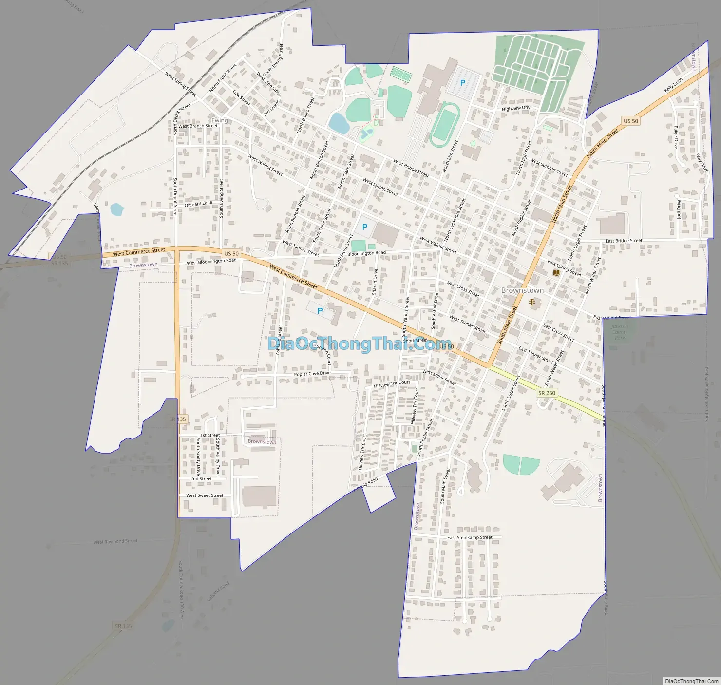
Brownstown Road Map
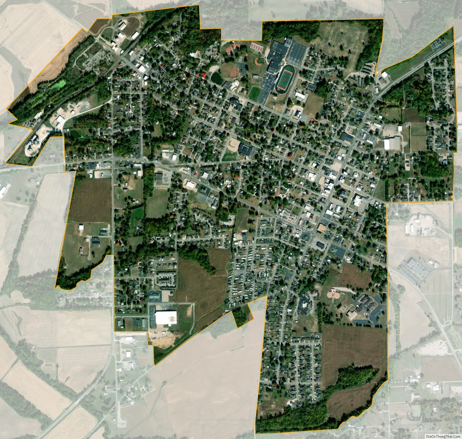
Brownstown city Satellite Map
Geography
Brownstown is located at 38°52′47″N 86°2′46″W / 38.87972°N 86.04611°W / 38.87972; -86.04611 (38.879823, -86.046163).
According to the 2010 census, Brownstown has a total area of 1.6 square miles (4.14 km), of which 1.59 square miles (4.12 km) (or 99.38%) is land and 0.01 square miles (0.03 km) (or 0.63%) is water.
Brownstown lies on the East Fork of the White River, bordered by the Jackson-Washington State Forest and near the Hoosier National Forest.
See also
Map of Indiana State and its subdivision:- Adams
- Allen
- Bartholomew
- Benton
- Blackford
- Boone
- Brown
- Carroll
- Cass
- Clark
- Clay
- Clinton
- Crawford
- Daviess
- De Kalb
- Dearborn
- Decatur
- Delaware
- Dubois
- Elkhart
- Fayette
- Floyd
- Fountain
- Franklin
- Fulton
- Gibson
- Grant
- Greene
- Hamilton
- Hancock
- Harrison
- Hendricks
- Henry
- Howard
- Huntington
- Jackson
- Jasper
- Jay
- Jefferson
- Jennings
- Johnson
- Knox
- Kosciusko
- LaGrange
- Lake
- Lake Michigan
- LaPorte
- Lawrence
- Madison
- Marion
- Marshall
- Martin
- Miami
- Monroe
- Montgomery
- Morgan
- Newton
- Noble
- Ohio
- Orange
- Owen
- Parke
- Perry
- Pike
- Porter
- Posey
- Pulaski
- Putnam
- Randolph
- Ripley
- Rush
- Saint Joseph
- Scott
- Shelby
- Spencer
- Starke
- Steuben
- Sullivan
- Switzerland
- Tippecanoe
- Tipton
- Union
- Vanderburgh
- Vermillion
- Vigo
- Wabash
- Warren
- Warrick
- Washington
- Wayne
- Wells
- White
- Whitley
- Alabama
- Alaska
- Arizona
- Arkansas
- California
- Colorado
- Connecticut
- Delaware
- District of Columbia
- Florida
- Georgia
- Hawaii
- Idaho
- Illinois
- Indiana
- Iowa
- Kansas
- Kentucky
- Louisiana
- Maine
- Maryland
- Massachusetts
- Michigan
- Minnesota
- Mississippi
- Missouri
- Montana
- Nebraska
- Nevada
- New Hampshire
- New Jersey
- New Mexico
- New York
- North Carolina
- North Dakota
- Ohio
- Oklahoma
- Oregon
- Pennsylvania
- Rhode Island
- South Carolina
- South Dakota
- Tennessee
- Texas
- Utah
- Vermont
- Virginia
- Washington
- West Virginia
- Wisconsin
- Wyoming