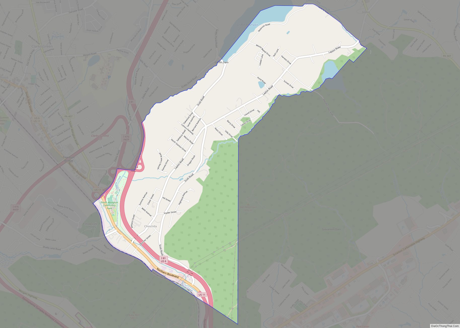
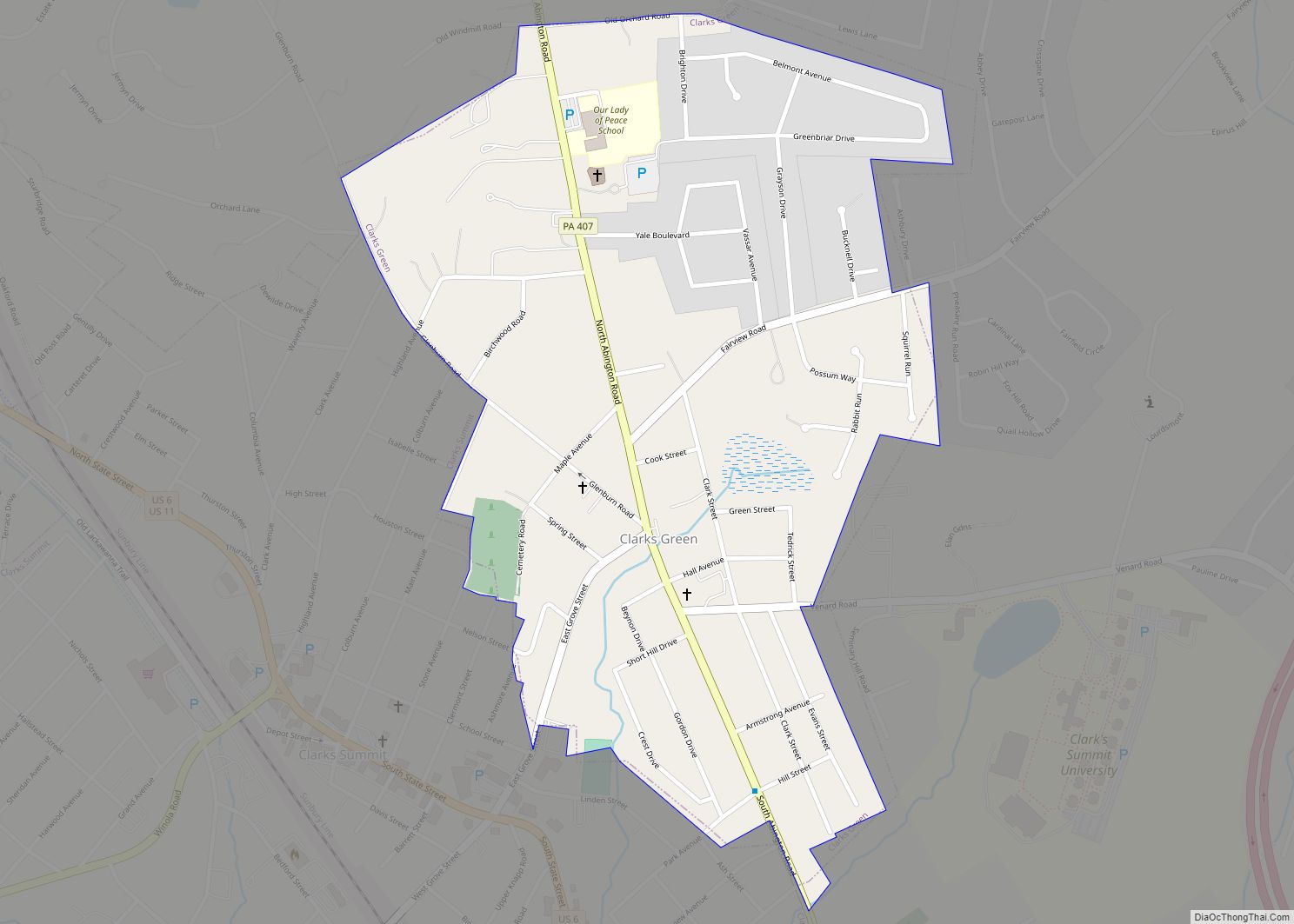
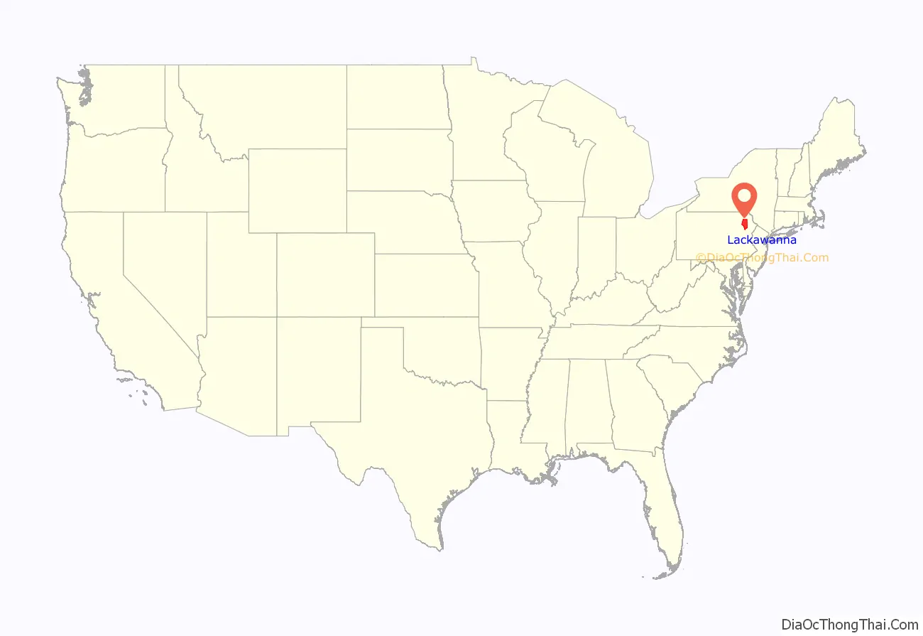
Lackawanna County (/lækəˈwɑːnə/; Unami: Lèkaohane) is a county in the Commonwealth of Pennsylvania. It is located in Northeastern Pennsylvania and had a population of 215,896 as of the 2020 census. Its county seat and largest city is Scranton.
The county was created on August 13, 1878, following decades of trying to gain its independence from Luzerne County. Lackawanna was Pennsylvania’s last county to be created, and the only county to be created after the American Civil War. It is named for the Lackawanna River.
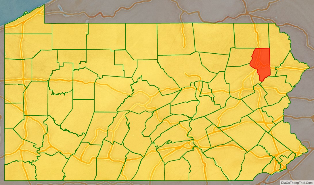
Lackawanna County is the second largest county in the Scranton–Wilkes-Barre–Hazleton, PA Metropolitan statistical area. It lies northwest of the Pocono Mountains approximately 40 miles (64 km) from the New Jersey border in Montague Township, and approximately 25 miles (40 km) from New York state in Kirkwood. The Lehigh River, a 109-mile-long (175 km) tributary of the Delaware River, flows through Lackawanna County.
| Name: | Lackawanna County |
|---|---|
| FIPS code: | 42-069 |
| State: | Pennsylvania |
| Founded: | August 13, 1878 |
| Named for: | Lackawanna River |
| Seat: | Scranton |
| Largest city: | Scranton |
| Total Area: | 465 sq mi (1,200 km²) |
| Land Area: | 459 sq mi (1,190 km²) |
| Total Population: | 215,663 |
| Population Density: | 459/sq mi (177/km²) |
| Time zone: | UTC−5 (Eastern) |
| Summer Time Zone (DST): | UTC−4 (EDT) |
| Website: | www.lackawannacounty.org |
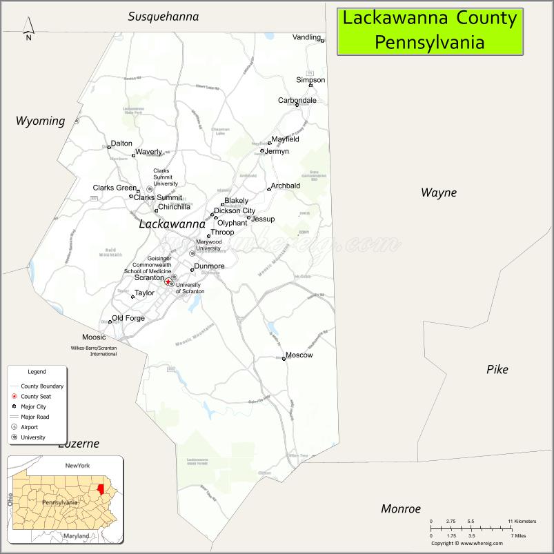
Lackawanna County location map. Where is Lackawanna County?
History
Lackawanna County is a region that was developed for iron production and anthracite coal mining in the nineteenth century, with its peak of coal production reached in the mid-20th century. Scranton, then still part of Luzerne County, became a center of mining and industry. It was the site of the Lackawanna Iron and Coal Company, which later began to produce steel using the Bessemer process. In 1877 at the time of the Scranton General Strike, the company was managed by William Walker Scranton, whose father had been president until his death in 1872. Two of his cousins had been founders of the company and the city.
The county was created on August 13, 1878, following decades of trying to gain its independence from Luzerne County. (The courts were organized in October 1878.) It is Pennsylvania’s last county to be created, and the only one created after the American Civil War. It is named for the Lackawanna River.
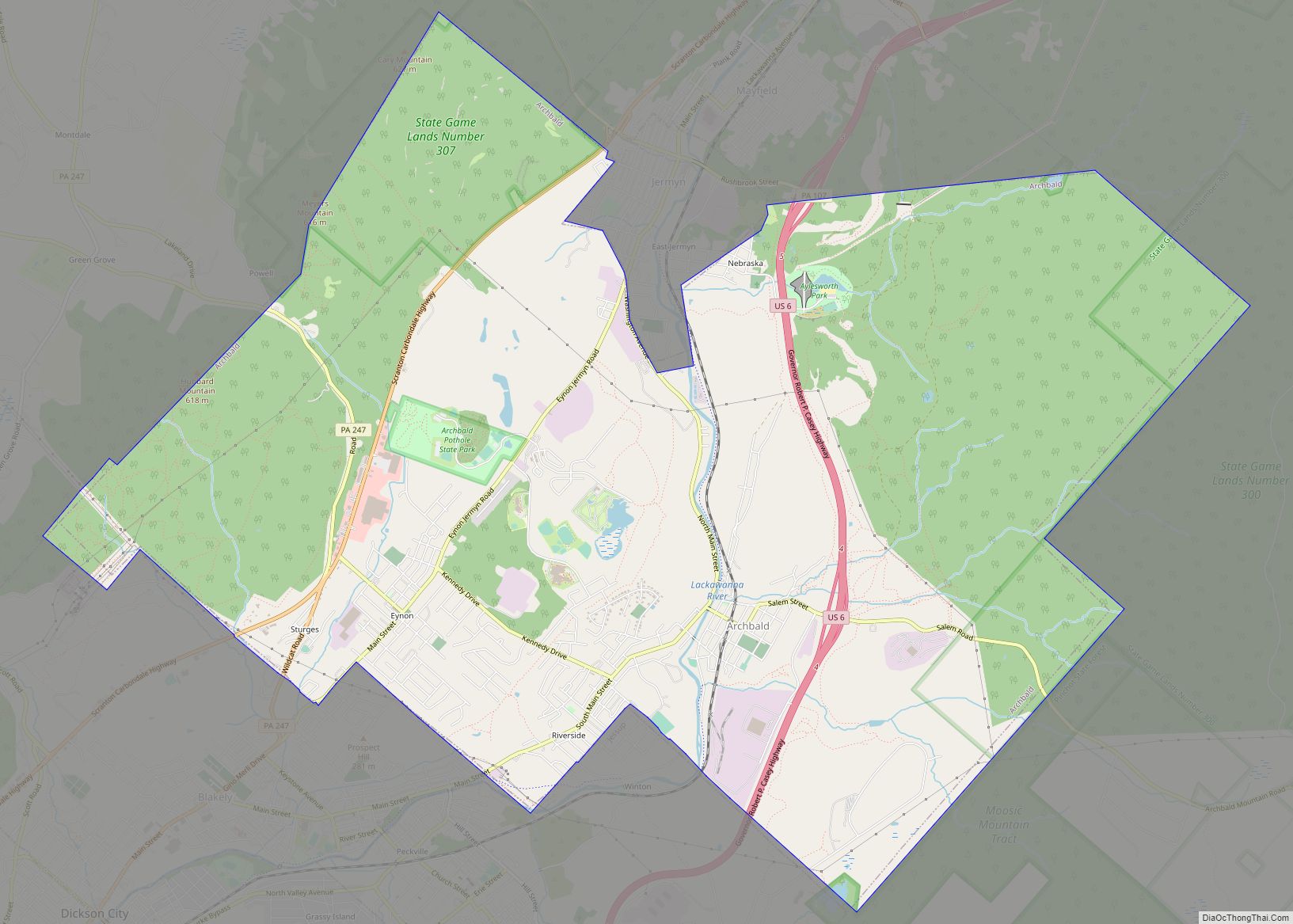
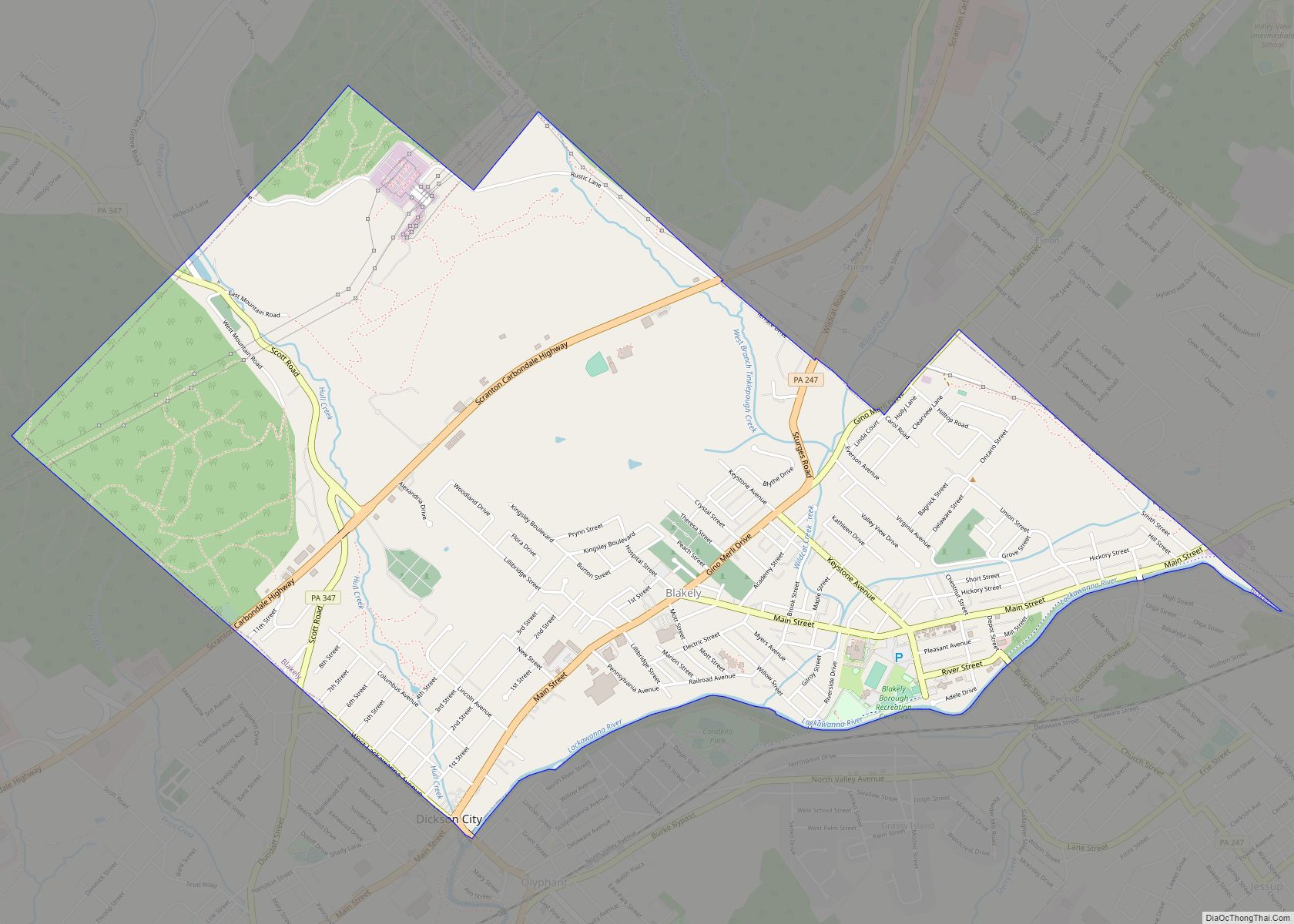
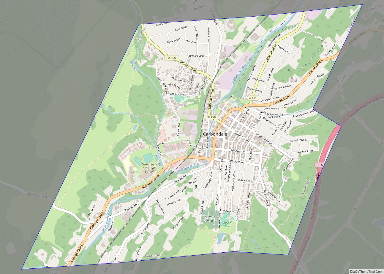
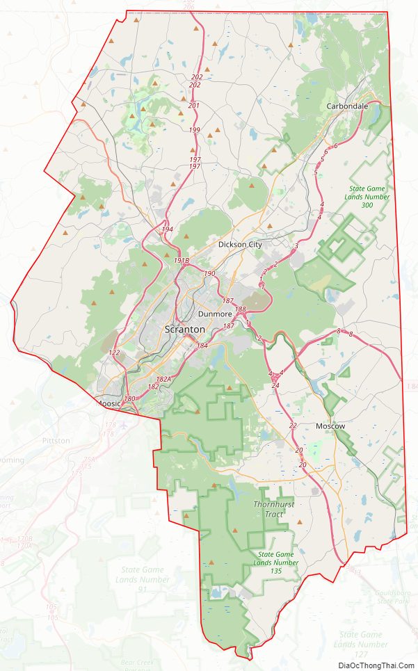
Lackawanna County Road Map
Geography
According to the U.S. Census Bureau, the county has a total area of 465 square miles (1,200 km), of which 459 square miles (1,190 km) is land and 5.8 square miles (15 km) (1.3%) is water. It has a humid continental climate which is warm-summer (Dfb) except along the Lackawanna River from Olyphant and Blakely below Peckville on down and along the Susquehanna where it is hot-summer (Dfa). Average monthly temperatures in downtown Scranton range from 26.0 °F in January to 71.9 °F in July, in Carbondale they range from 23.8 °F in January to 69.7 °F in July, and in Moscow they range from 22.6 °F in January to 68.4 °F in July. [1]
Adjacent counties
- Susquehanna County (north)
- Wayne County (east)
- Monroe County (southeast)
- Luzerne County (southwest)
- Wyoming County (west)
Major Highways
- I-81
- I-84
- I-380
- I-476 / Penna Turnpike NE Extension
- US 6
- US 6 Bus.
- US 11
- PA 106
- PA 107
- PA 307
- PA 348
- PA 407
- PA 435
- PA 438
- PA 502
- PA 524
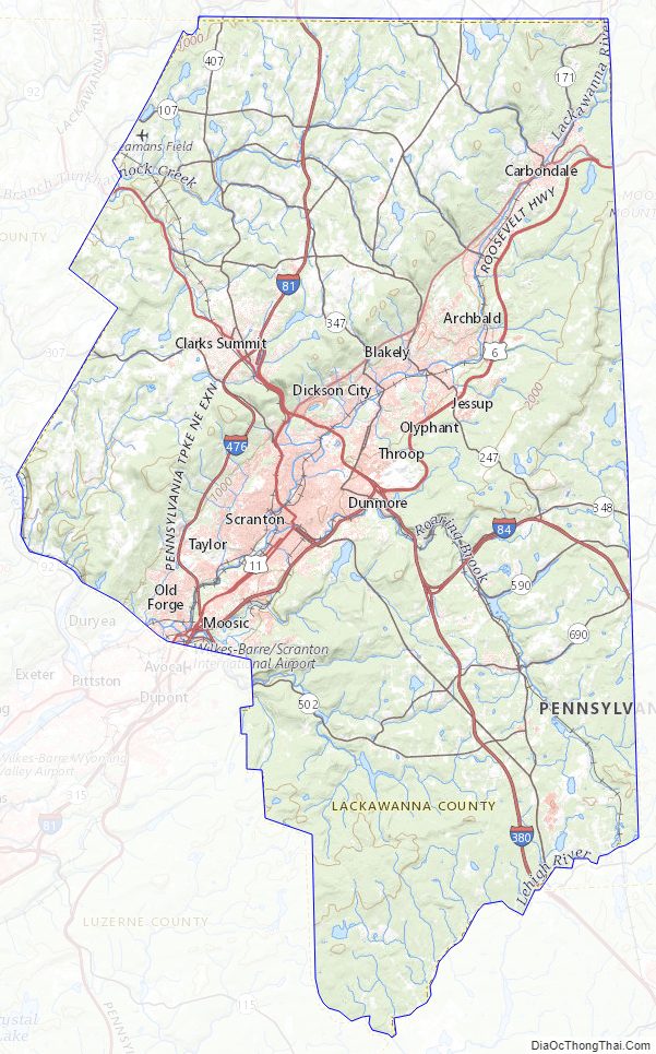
Lackawanna County Topographic Map
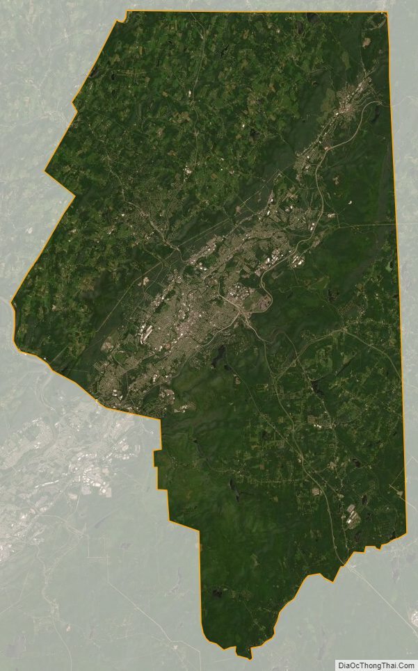
Lackawanna County Satellite Map
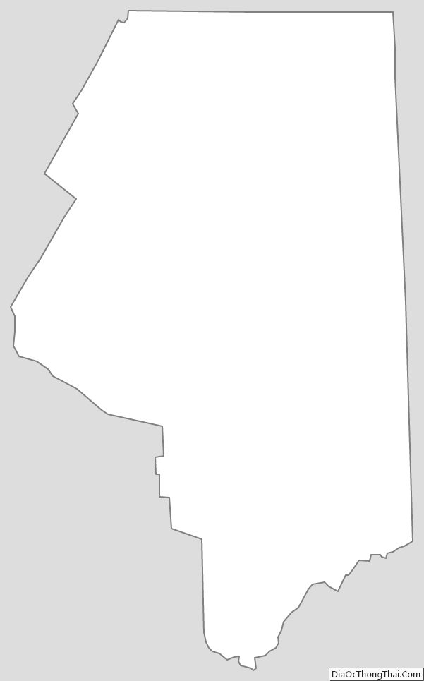
Lackawanna County Outline Map