Scranton is a city in the Commonwealth of Pennsylvania, United States, and the county seat of Lackawanna County. With a population of 76,328 as of the 2020 U.S. census, Scranton is the largest city in Northeastern Pennsylvania and the Scranton–Wilkes-Barre–Hazleton Metropolitan Statistical Area, which has a population of 562,037 as of 2020. It is the seventh largest city or borough in Pennsylvania. The contiguous network of five cities and more than 40 boroughs all built in a straight line in Northeastern Pennsylvania’s urban area act culturally and logistically as one continuous city, so while the city of Scranton itself is a mid-sized city, the larger Scranton/Wilkes-Barre Metropolitan Area contains nearly half a million residents in roughly 200 square miles. Scranton is the cultural and economic center of a region called Northeastern Pennsylvania, which is home to over 1.3 million residents.
Scranton hosts a federal court building for the United States District Court for the Middle District of Pennsylvania. The city is conventionally divided into nine districts: North Scranton, Southside, Westside, Eastside/Hill Section, Central City, Minooka, West Mountain, East Mountain, and Green Ridge, though these areas do not have legal status. The city is the geographic and cultural center of the Lackawanna River valley (a local name for a small part of the Wyoming Valley) and Northeastern Pennsylvania, as well as the largest of the former anthracite coal mining communities in a contiguous quilt-work that also includes Wilkes-Barre, Nanticoke, Pittston, and Carbondale. Scranton was incorporated on February 14, 1856, as a borough in Luzerne County and as a city on April 23, 1866. It became a major industrial city and a center of mining and railroads; it attracted thousands of new immigrants. It was the site of the Scranton General Strike in 1877.
People in northern Luzerne County sought a new county in 1839, but the Wilkes-Barre area resisted losing its assets. Lackawanna County did not gain independent status until 1878. Under legislation allowing the issue to be voted by residents of the proposed territory, voters favored the new county by a proportion of 6 to 1, with Scranton residents providing the major support. The city was designated as the county seat when Lackawanna County was established in 1878, and a judicial district was authorized in July 1879.
The city’s nickname “Electric City” began when electric lights were introduced in 1880 at the Dickson Manufacturing Company. Six years later, the United States’ first streetcars powered only by electricity began operating in the city. Rev. David Spencer, a local Baptist minister, later proclaimed Scranton as the “Electric City”.
The city’s industrial production and population peaked in the 1930s and 1940s, fueled by demand for coal and textiles, especially during World War II. But while the national economy boomed after the war, demand for the region’s coal declined as other forms of energy became more popular, which also harmed the rail industry. Foreseeing the decline, city leaders formulated the Scranton Plan in 1945 to diversify the local economy beyond coal, but the city’s economy continued to decline. The Knox Mine disaster of 1959 essentially ended coal mining in the region. Scranton’s population dropped from its peak of 143,433 in the 1930 census to 76,089 in the 2010 census. The city now has large health care, academic, and manufacturing sectors.
Scranton is located 77 miles (124 km) north of Allentown, 120 miles (190 km) north of Philadelphia, and 120 miles (190 km) northwest of New York City.
| Name: | Scranton city |
|---|---|
| LSAD Code: | 25 |
| LSAD Description: | city (suffix) |
| State: | Pennsylvania |
| County: | Lackawanna County |
| Elevation: | 745 ft (227 m) |
| Land Area: | 25.31 sq mi (65.55 km²) |
| Water Area: | 0.23 sq mi (0.60 km²) |
| Population Density: | 3,015.96/sq mi (1,164.49/km²) |
| Area code: | 570 and 272 |
| FIPS code: | 4269000 |
| GNISfeature ID: | 634293 |
| Website: | www.scrantonpa.gov |
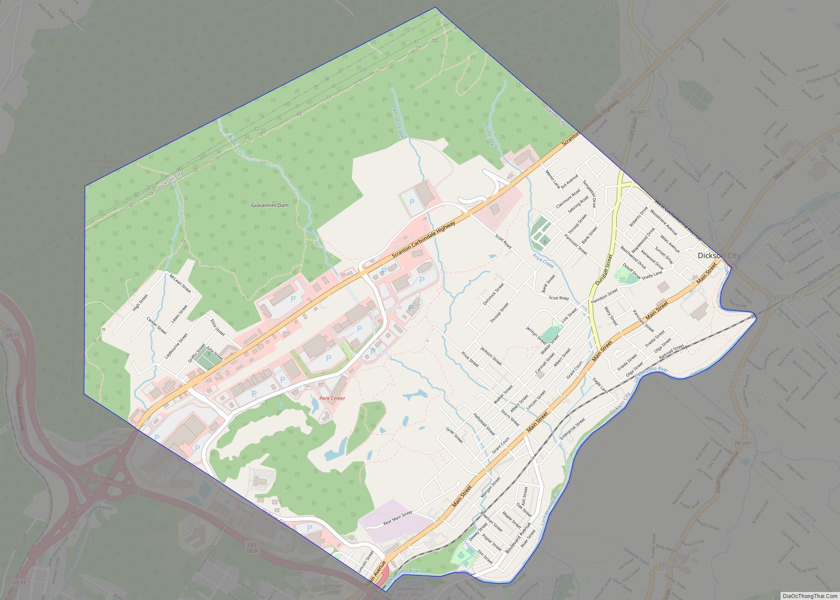
Online Interactive Map
Click on ![]() to view map in "full screen" mode.
to view map in "full screen" mode.
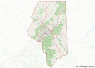
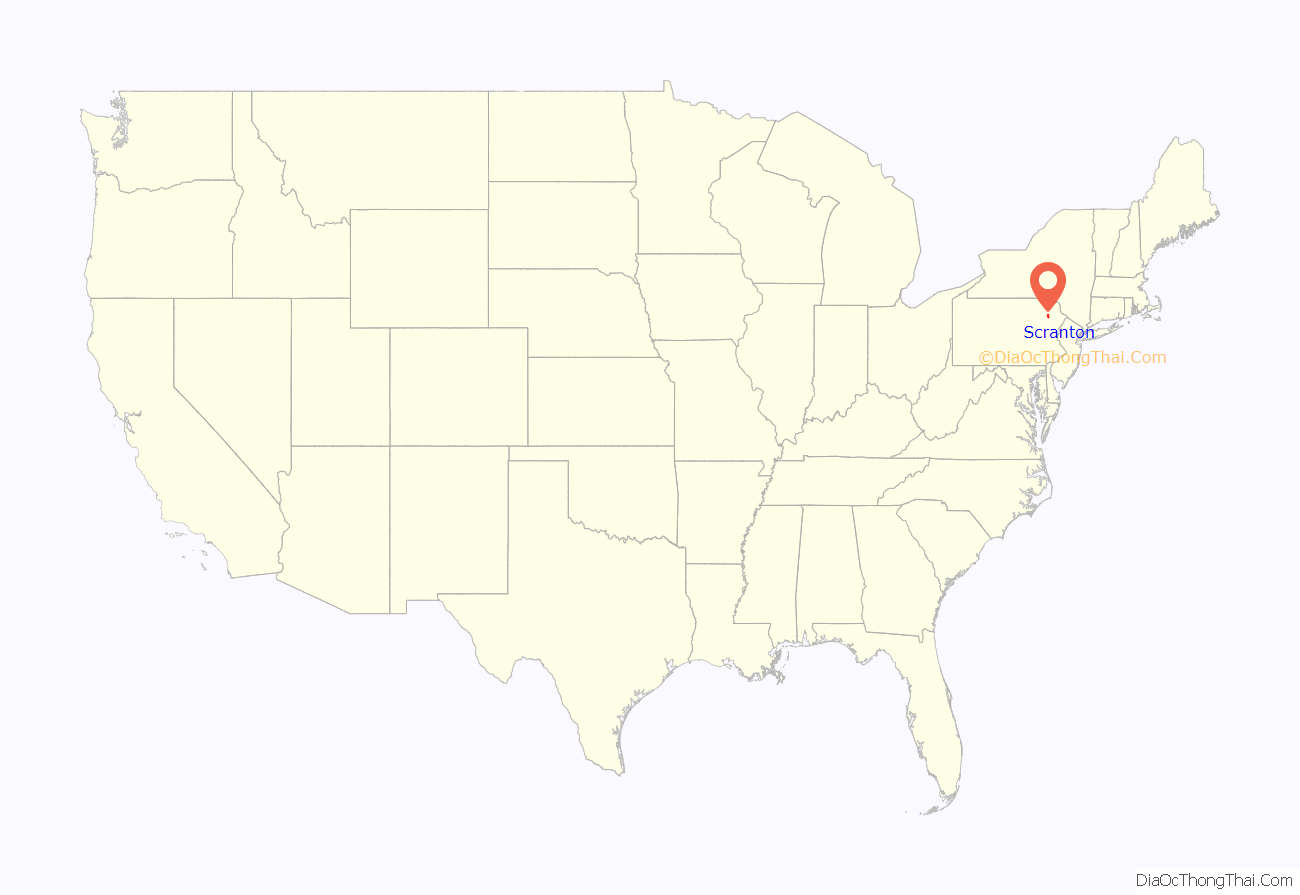
Scranton location map. Where is Scranton city?
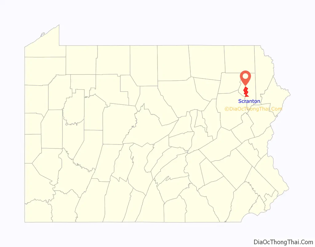
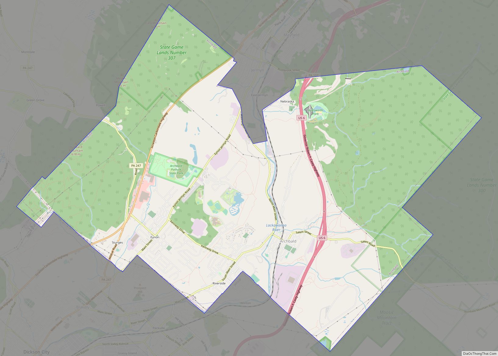
Scranton Road Map
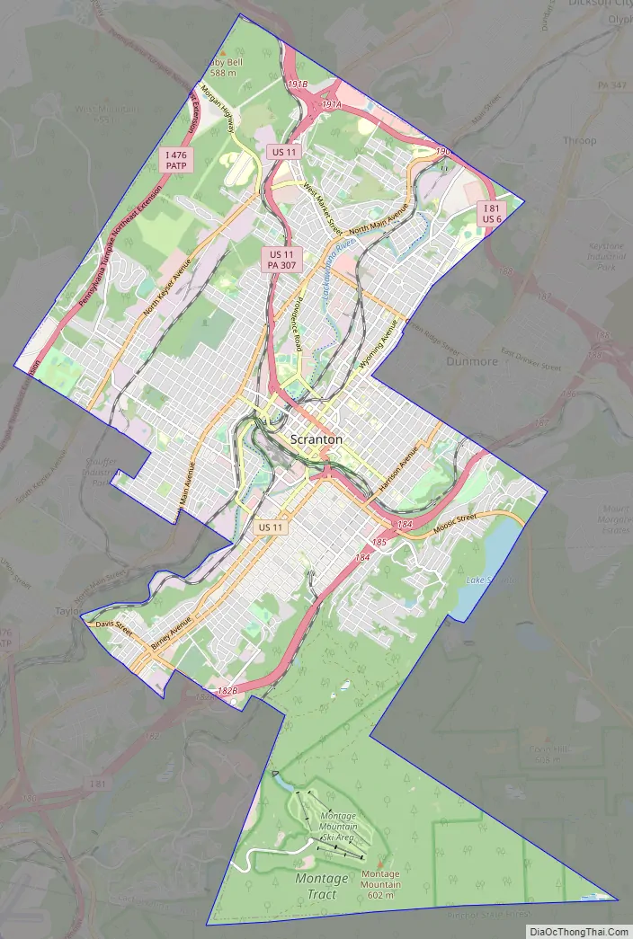
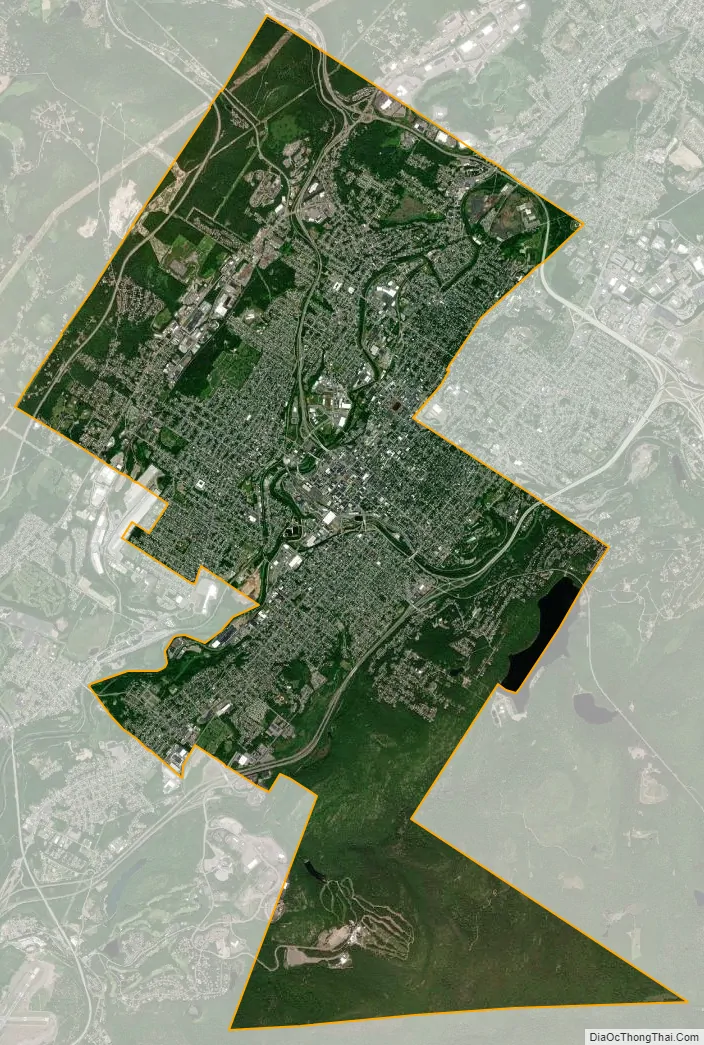
Scranton city Satellite Map
Geography
Scranton’s total area of 25.4 square miles (66 km) includes 25.2 square miles (65 km) of land and 0.2 square miles (0.52 km) of water, according to the United States Census Bureau. Scranton is drained by the Lackawanna River.
Center City is about 750 feet (229 m) above sea level, although the hilly city’s inhabited portions range about from 650 to 1,400 feet (200 to 430 m). The city is flanked by mountains to the east and west whose elevations range from 1,900 to 2,100 feet (580 to 640 m).
Climate
Scranton has a humid continental climate (Köppen Dfa), with four distinct seasons. Summers have occasional heat waves bringing temperatures well above 90 °F (32 °C), while winters can have cold snaps bringing temperatures below 0 °F (−18 °C). The monthly daily average temperature in January, the coldest month, is 28.0 °F (−2.2 °C), while the same figure in July, the warmest month, is 73.7 °F (23.2 °C). Extremes in temperatures have ranged from 101 °F (38 °C) down to −21 °F (−29 °C) on January 21, 1994; there is an average of 15 days of 90 °F (32 °C)+ highs, 39 days where the high fails to rise above freezing, and 3 days where the minimum is at or below 0 °F (−18 °C). Precipitation is generally slightly greater during late spring and summer, while winter is generally the driest. On average, each month sees 10 to 13 days of precipitation, and the mean annual total is 38.72 inches (983 mm). Snowfall is variable, with some winters bringing light snow and others bringing numerous snowstorms. For the 1991–2020 period, snowfall has averaged 45.1 inches (115 cm) per year, with January accounting for the most of the seasonal total; on average, the first and last dates of measurable (≥0.1 in or 0.25 cm) snowfall are November 14 and March 31, respectively, with snow in October and April a rare occurrence.
See also
Map of Pennsylvania State and its subdivision:- Adams
- Allegheny
- Armstrong
- Beaver
- Bedford
- Berks
- Blair
- Bradford
- Bucks
- Butler
- Cambria
- Cameron
- Carbon
- Centre
- Chester
- Clarion
- Clearfield
- Clinton
- Columbia
- Crawford
- Cumberland
- Dauphin
- Delaware
- Elk
- Erie
- Fayette
- Forest
- Franklin
- Fulton
- Greene
- Huntingdon
- Indiana
- Jefferson
- Juniata
- Lackawanna
- Lancaster
- Lawrence
- Lebanon
- Lehigh
- Luzerne
- Lycoming
- Mc Kean
- Mercer
- Mifflin
- Monroe
- Montgomery
- Montour
- Northampton
- Northumberland
- Perry
- Philadelphia
- Pike
- Potter
- Schuylkill
- Snyder
- Somerset
- Sullivan
- Susquehanna
- Tioga
- Union
- Venango
- Warren
- Washington
- Wayne
- Westmoreland
- Wyoming
- York
- Alabama
- Alaska
- Arizona
- Arkansas
- California
- Colorado
- Connecticut
- Delaware
- District of Columbia
- Florida
- Georgia
- Hawaii
- Idaho
- Illinois
- Indiana
- Iowa
- Kansas
- Kentucky
- Louisiana
- Maine
- Maryland
- Massachusetts
- Michigan
- Minnesota
- Mississippi
- Missouri
- Montana
- Nebraska
- Nevada
- New Hampshire
- New Jersey
- New Mexico
- New York
- North Carolina
- North Dakota
- Ohio
- Oklahoma
- Oregon
- Pennsylvania
- Rhode Island
- South Carolina
- South Dakota
- Tennessee
- Texas
- Utah
- Vermont
- Virginia
- Washington
- West Virginia
- Wisconsin
- Wyoming