Susquehanna County is a county in the Commonwealth of Pennsylvania. It is part of Northeastern Pennsylvania. As of the 2020 census, the population was 38,434 Its county seat is Montrose. The county was created on February 21, 1810, from part of Luzerne County and later organized in 1812. It is named for the Susquehanna River.
| Name: | Susquehanna County |
|---|---|
| FIPS code: | 42-115 |
| State: | Pennsylvania |
| Founded: | October 13, 1812 |
| Named for: | Susquehanna River |
| Seat: | Montrose |
| Total Area: | 832 sq mi (2,150 km²) |
| Land Area: | 823 sq mi (2,130 km²) |
| Total Population: | 38,434 |
| Population Density: | 46/sq mi (18/km²) |
| Time zone: | UTC−5 (Eastern) |
| Summer Time Zone (DST): | UTC−4 (EDT) |
| Website: | www.susqco.com |
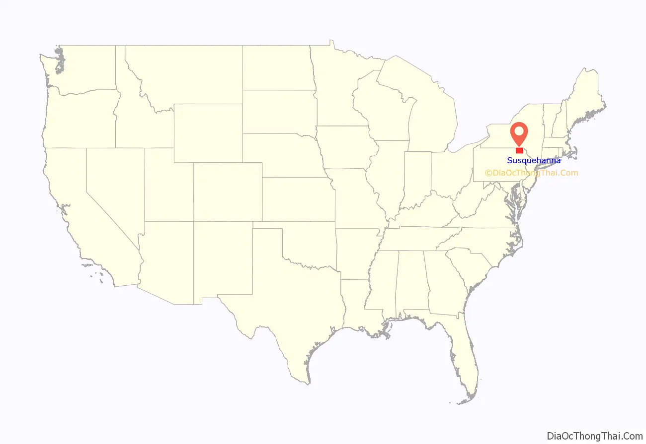
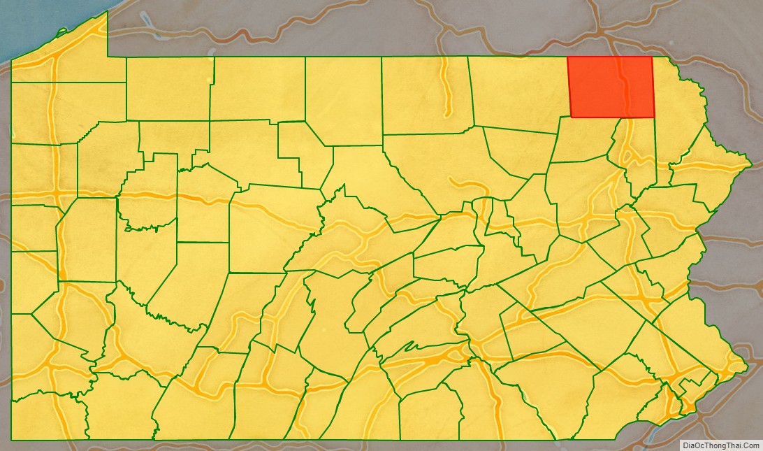
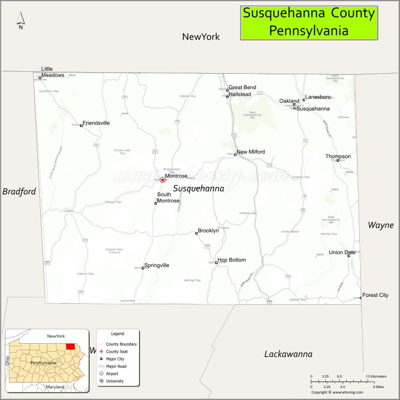
Susquehanna County location map. Where is Susquehanna County?
History
Settlement and conflict
The first non-Indigenous settlers began to move into the area from Philadelphia and Connecticut in the mid-1700s. At the time, the area was part of Luzerne County. As more and more people from Connecticut moved in, there began to be some conflict. Under Connecticut’s land grant, they owned everything from present-day Connecticut to the Pacific Ocean. This meant their land grant overlapped with Pennsylvania’s land grant. Soon fighting began – the 1769–1799 Pennamite–Yankee Wars. In the end, the government of Connecticut surrendered its claim on the area.
Formation
In 1810, Susquehanna County was formed out of Luzerne County and later in 1812, Montrose was made the county seat.
Coal and early prosperity
After the Civil War, coal started to be mined. Following this, railways and roads were built into the county allowing for more people to come. At one point the county had nearly 50,000 people. Coal became, as with neighboring counties, the backbone of the economy. This boom in coal would allow for an age of prosperity in the county.
Great Depression
When the Great Depression hit, the coal industry suffered horribly. Within months, the coal industry was struggling. During World War II, the coal industry picked up again, but only for a short time. Soon after, the economy in the county failed. Many mines were closed, railways were torn apart, and the economy took a turn for the worse. Unemployment rose and population decline increased.
Susquehanna County Road Map
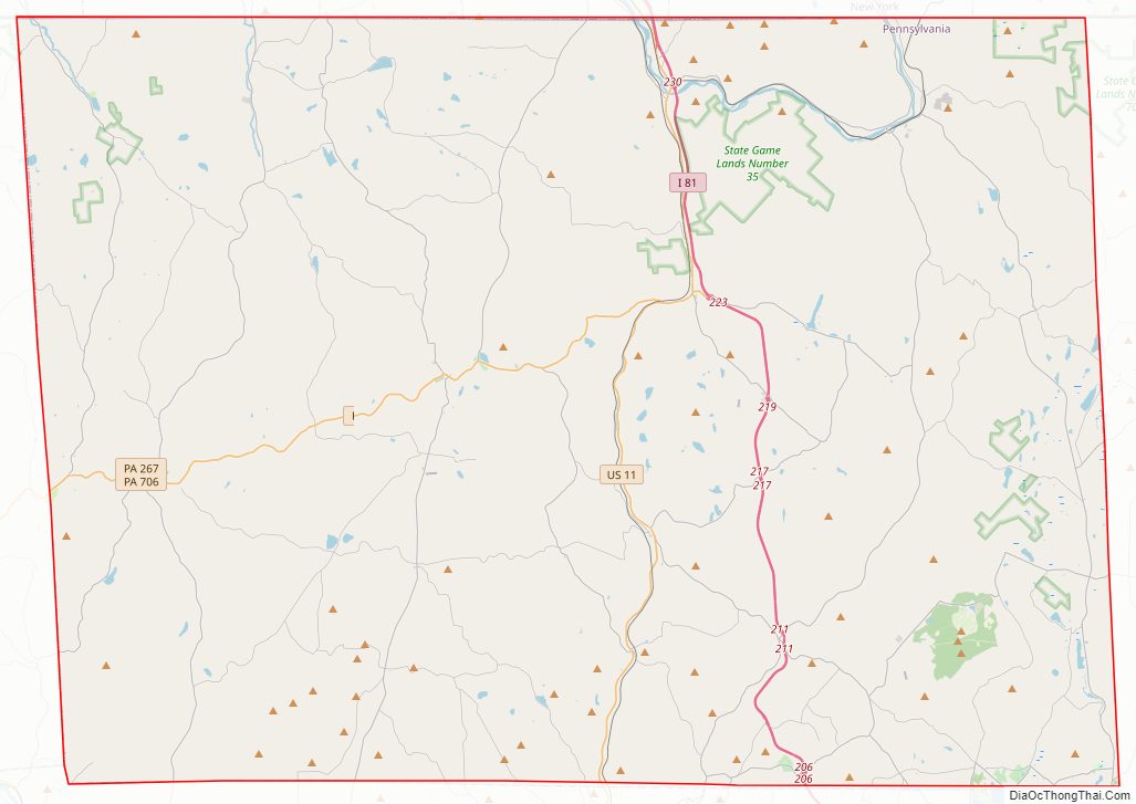
Geography
According to the U.S. Census Bureau, the county has a total area of 832 square miles (2,150 km), of which 823 square miles (2,130 km) is land and 8.7 square miles (23 km) (1.0%) is water.
Susquehanna County is very mountainous, with large concentrations of mountains in the east and smaller, more hill-like mountains in the west. The highest mountain in the county is North Knob just west of Union Dale. Most people live in one of the several long and mostly narrow valleys. These valleys are good farming land.
The county has a warm-summer humid continental climate (Dfb) and average monthly temperatures in Montrose range from 21.2 °F in January to 67.7 °F in July.
Adjacent counties
- Broome County, New York (north)
- Wayne County (east)
- Lackawanna County (southeast)
- Wyoming County (southwest)
- Bradford County (west)
- Tioga County, New York (northwest)
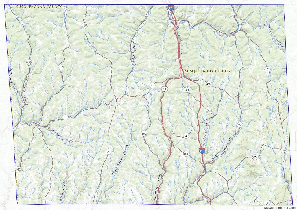
Susquehanna County Topographic Map
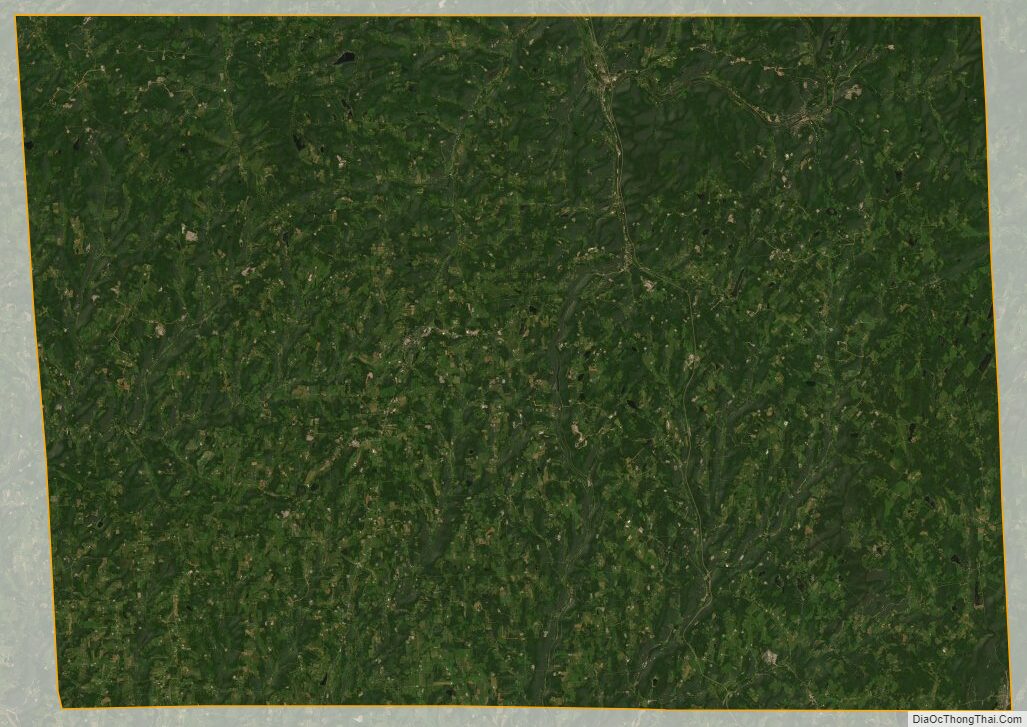
Susquehanna County Satellite Map
Susquehanna County Outline Map