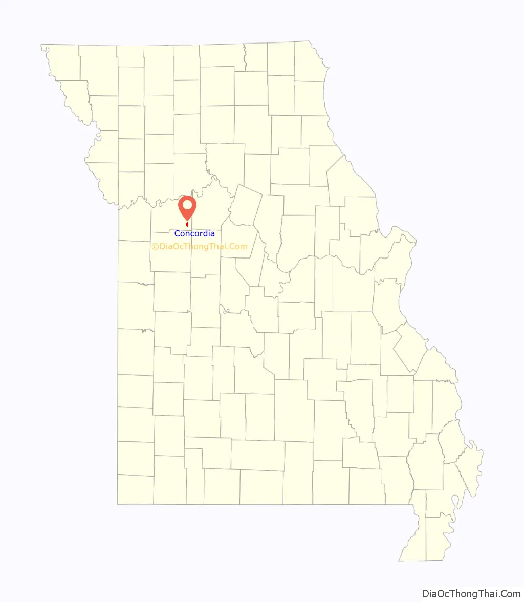
Concordia is a city in Lafayette County, Missouri, and is part of the Kansas City metropolitan area within the United States. The population was 2,450 at the 2010 census.
| Name: | Concordia city |
|---|---|
| LSAD Code: | 25 |
| LSAD Description: | city (suffix) |
| State: | Missouri |
| County: | Lafayette County |
| Elevation: | 781 ft (238 m) |
| Total Area: | 1.84 sq mi (4.76 km²) |
| Land Area: | 1.83 sq mi (4.74 km²) |
| Water Area: | 0.01 sq mi (0.02 km²) |
| Total Population: | 2,371 |
| Population Density: | 1,294.21/sq mi (499.77/km²) |
| ZIP code: | 64020 |
| Area code: | 660 |
| FIPS code: | 2916102 |
| GNISfeature ID: | 2393617 |
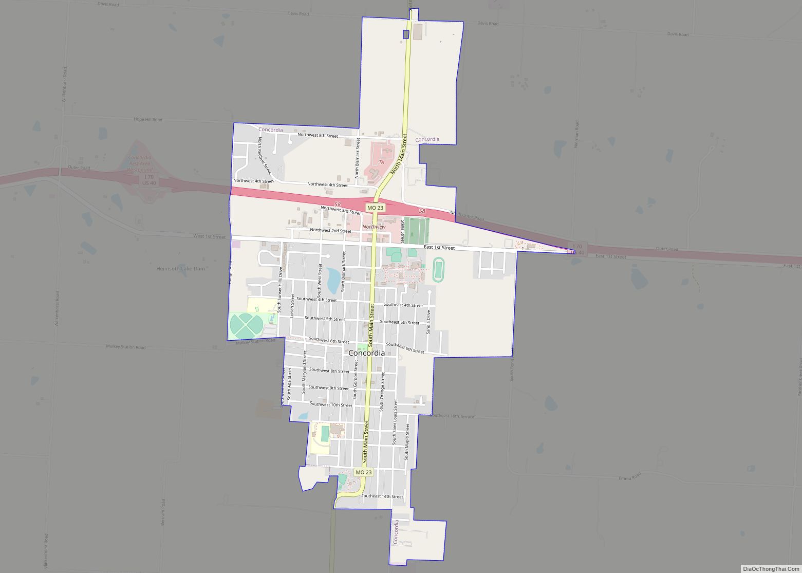
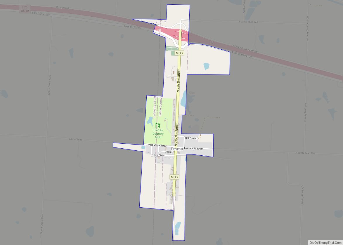
Online Interactive Map
Click on ![]() to view map in "full screen" mode.
to view map in "full screen" mode.
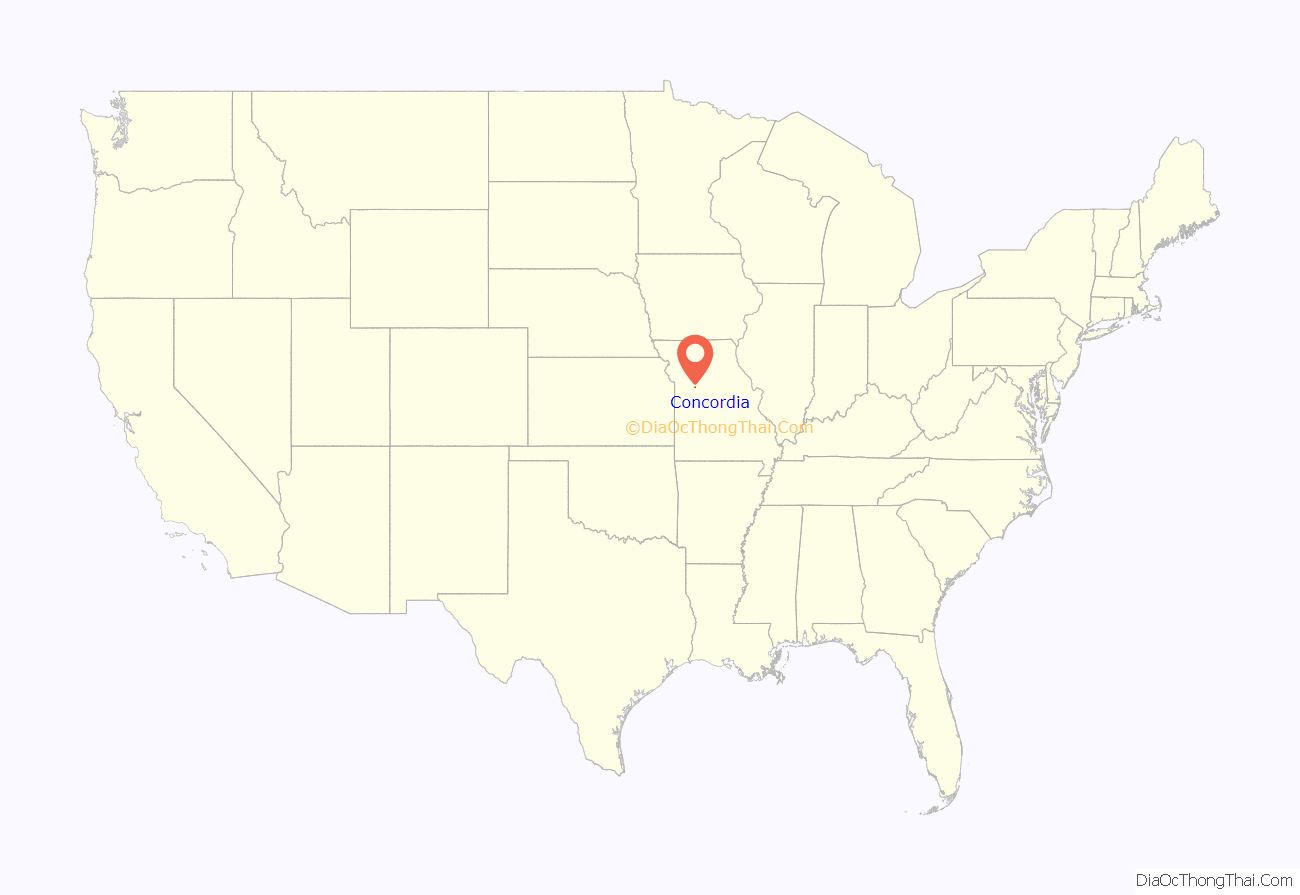
Concordia location map. Where is Concordia city?
History
Concordia was platted in 1868. The city was named after a place mentioned in the poem “Das Lied von der Glocke” by Friedrich Schiller. A post office called Concordia has been in operation since 1865.
A large share of the early settlers were Germans. Among these immigrants were ancestors of scientist Linus Pauling. In 1842, Christoph Friedrich Pauling, his wife Catharine and their daughters Rebecca and Charlotte immigrated to the United States from Hanover, with a son being born while they were crossing the Atlantic; they travelled to “a German settlement in Concordia, Missouri”, near where they farmed; a second son was born in 1844 and their third and final son, Charles Henry (grandfather of Linus Pauling) was born in 1847.
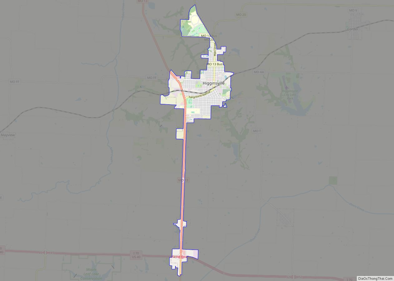
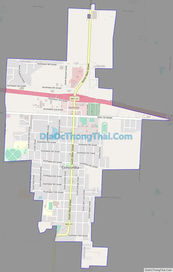
Concordia Road Map
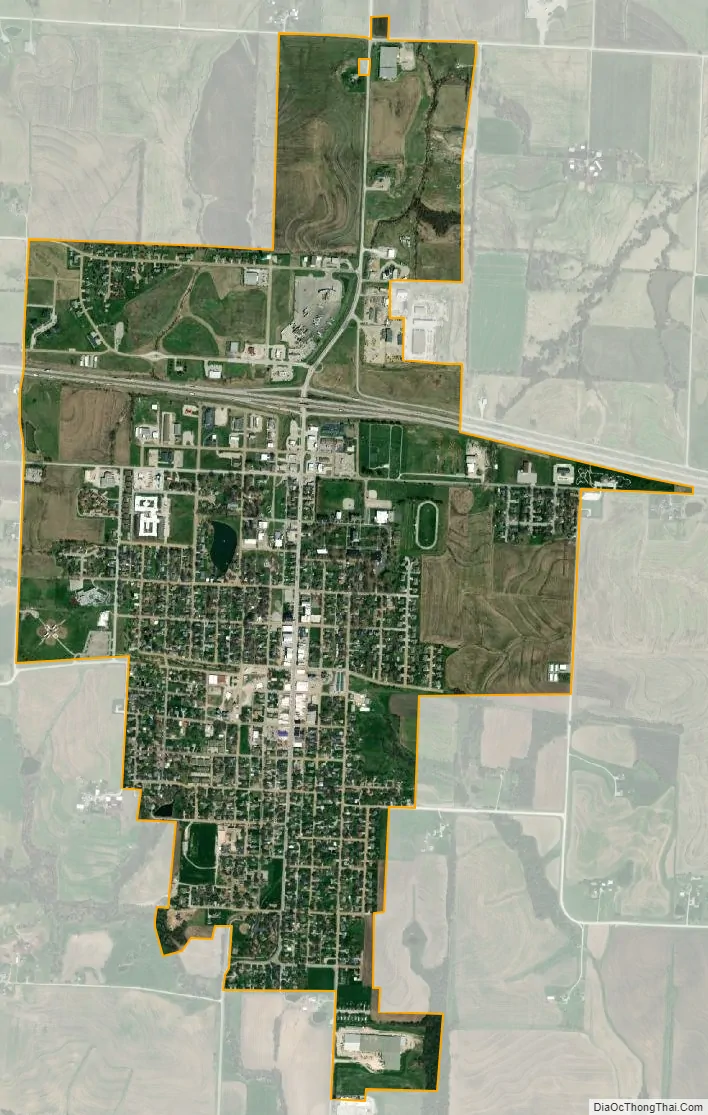
Concordia city Satellite Map
Geography
According to the United States Census Bureau, the city has a total area of 1.79 square miles (4.64 km), of which 1.78 square miles (4.61 km) is land and 0.01 square miles (0.03 km) is water.
See also
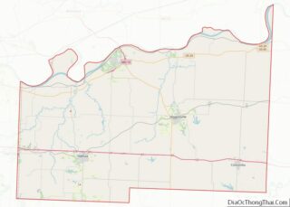
Map of Missouri State and its subdivision:- Adair
- Andrew
- Atchison
- Audrain
- Barry
- Barton
- Bates
- Benton
- Bollinger
- Boone
- Buchanan
- Butler
- Caldwell
- Callaway
- Camden
- Cape Girardeau
- Carroll
- Carter
- Cass
- Cedar
- Chariton
- Christian
- Clark
- Clay
- Clinton
- Cole
- Cooper
- Crawford
- Dade
- Dallas
- Daviess
- De Kalb
- Dent
- Douglas
- Dunklin
- Franklin
- Gasconade
- Gentry
- Greene
- Grundy
- Harrison
- Henry
- Hickory
- Holt
- Howard
- Howell
- Iron
- Jackson
- Jasper
- Jefferson
- Johnson
- Knox
- Laclede
- Lafayette
- Lawrence
- Lewis
- Lincoln
- Linn
- Livingston
- Macon
- Madison
- Maries
- Marion
- McDonald
- Mercer
- Miller
- Mississippi
- Moniteau
- Monroe
- Montgomery
- Morgan
- New Madrid
- Newton
- Nodaway
- Oregon
- Osage
- Ozark
- Pemiscot
- Perry
- Pettis
- Phelps
- Pike
- Platte
- Polk
- Pulaski
- Putnam
- Ralls
- Randolph
- Ray
- Reynolds
- Ripley
- Saint Charles
- Saint Clair
- Saint Francois
- Saint Louis
- Sainte Genevieve
- Saline
- Schuyler
- Scotland
- Scott
- Shannon
- Shelby
- Stoddard
- Stone
- Sullivan
- Taney
- Texas
- Vernon
- Warren
- Washington
- Wayne
- Webster
- Worth
- Wright
- Alabama
- Alaska
- Arizona
- Arkansas
- California
- Colorado
- Connecticut
- Delaware
- District of Columbia
- Florida
- Georgia
- Hawaii
- Idaho
- Illinois
- Indiana
- Iowa
- Kansas
- Kentucky
- Louisiana
- Maine
- Maryland
- Massachusetts
- Michigan
- Minnesota
- Mississippi
- Missouri
- Montana
- Nebraska
- Nevada
- New Hampshire
- New Jersey
- New Mexico
- New York
- North Carolina
- North Dakota
- Ohio
- Oklahoma
- Oregon
- Pennsylvania
- Rhode Island
- South Carolina
- South Dakota
- Tennessee
- Texas
- Utah
- Vermont
- Virginia
- Washington
- West Virginia
- Wisconsin
- Wyoming