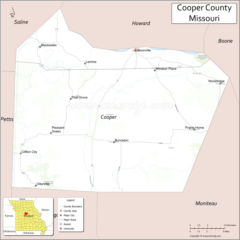
Cooper County is located in the central portion of the U.S. state of Missouri. As of the 2020 United States census, the population was 17,103. Its county seat is Boonville. The county was organized December 17, 1818 and named for Sarshell Cooper, a frontier settler who was killed by Native Americans near Arrow Rock in 1814. It is a part of the Columbia, Missouri metropolitan area.
| Name: | Cooper County |
|---|---|
| FIPS code: | 29-053 |
| State: | Missouri |
| Founded: | December 17, 1818 |
| Named for: | Sarshell Cooper |
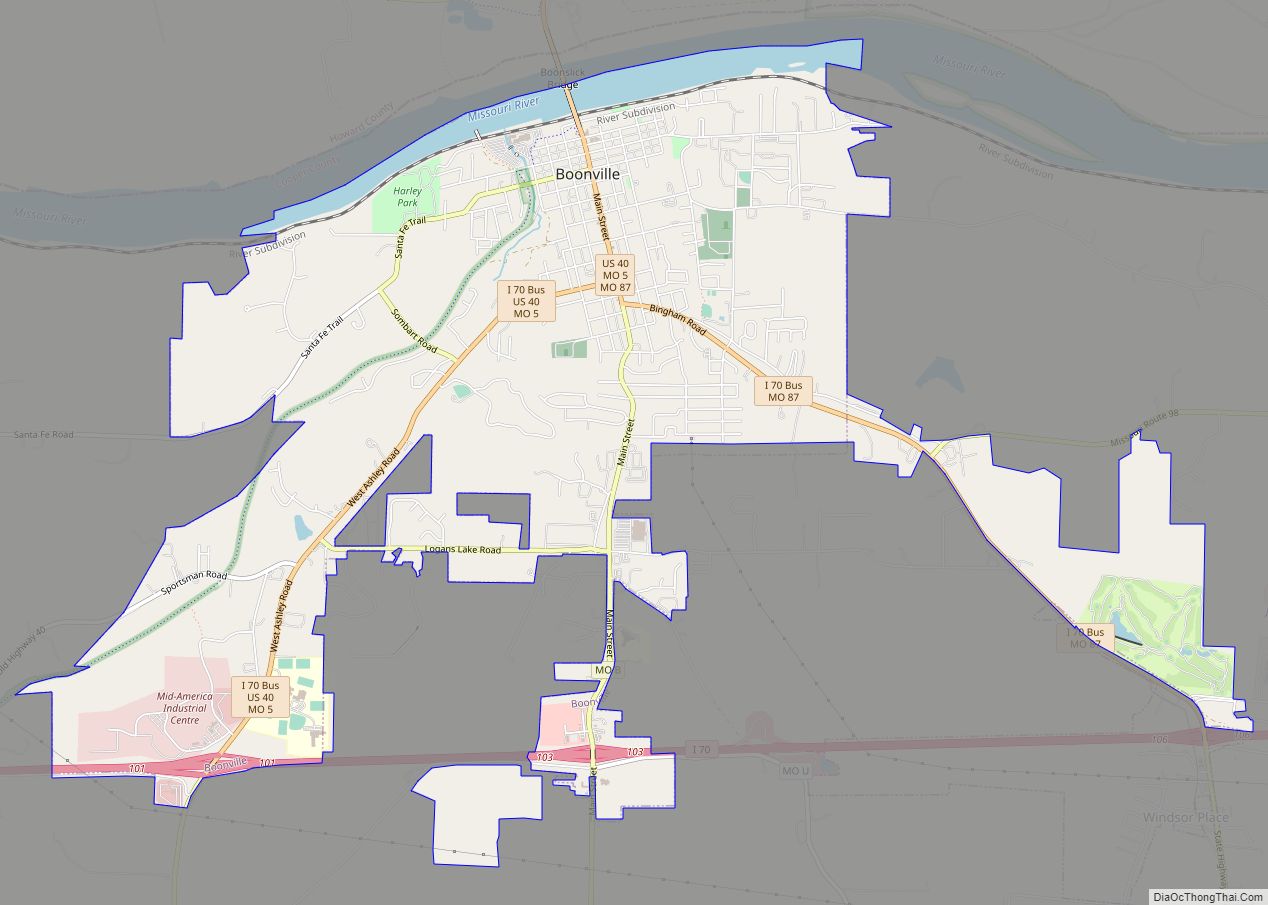
| Seat: | Boonville |
| Largest city: | Boonville |
| Total Area: | 569 sq mi (1,470 km²) |
| Land Area: | 565 sq mi (1,460 km²) |
| Total Population: | 17,103 |
| Population Density: | 30/sq mi (12/km²) |
| Time zone: | UTC−6 (Central) |
| Summer Time Zone (DST): | UTC−5 (CDT) |
| Website: | www.coopercountymo.gov |
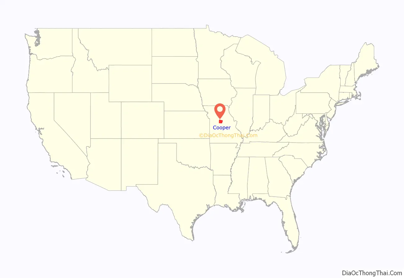
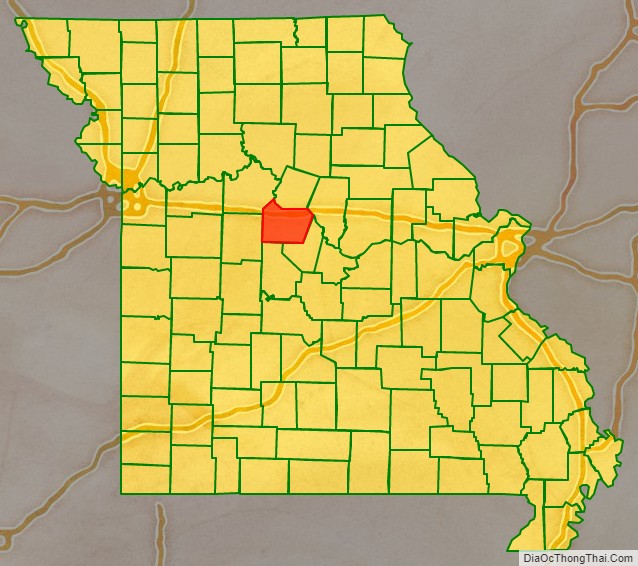
Cooper County location map. Where is Cooper County?
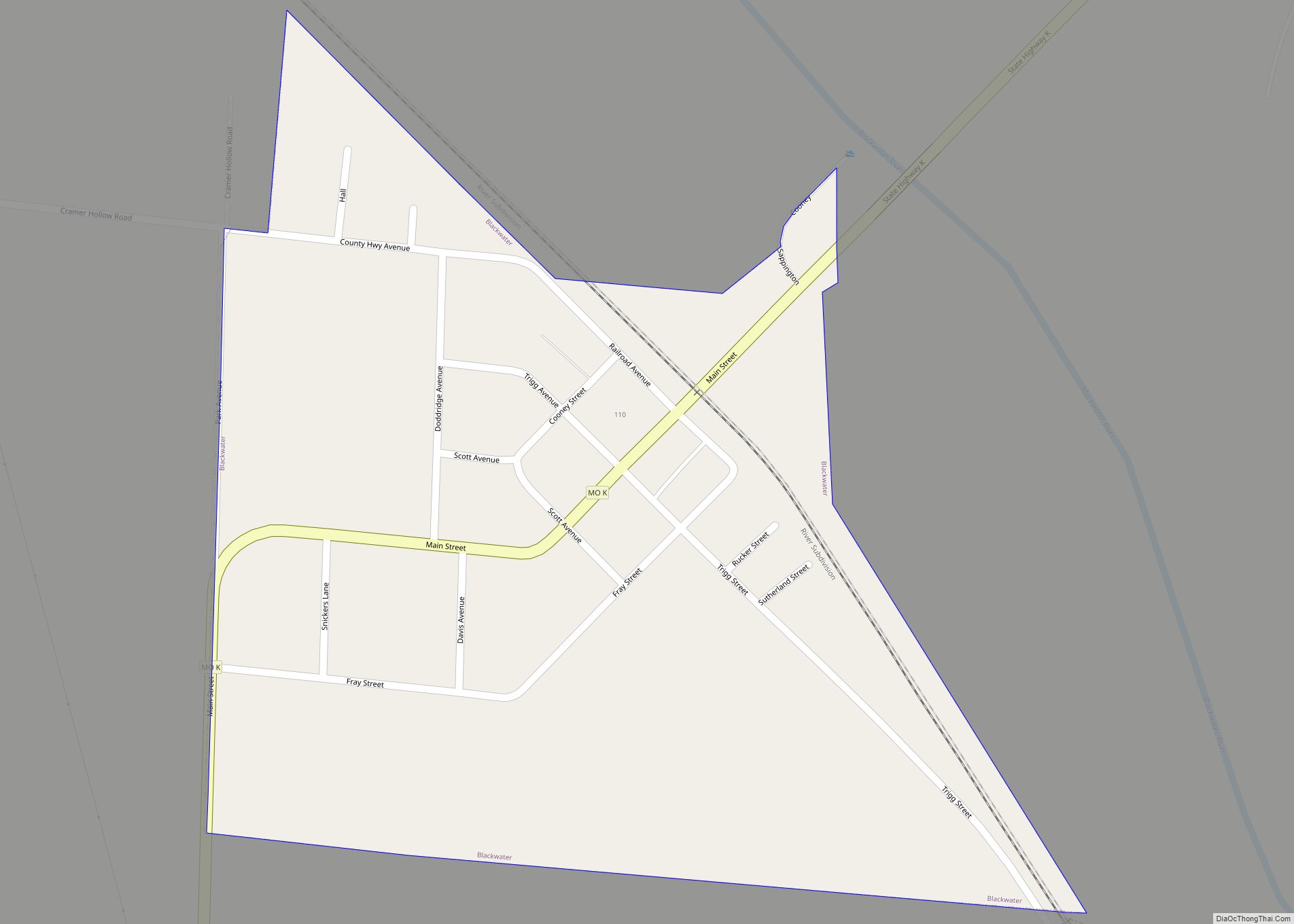
Cooper County Road Map
Geography
According to the U.S. Census Bureau, the county has a total area of 569 square miles (1,470 km), of which 565 square miles (1,460 km) is land and 4.4 square miles (11 km) (0.8%) is water.
Adjacent counties
- Howard County (north)
- Boone County (northeast)
- Moniteau County (southeast)
- Morgan County (south)
- Pettis County (west)
- Saline County (northwest)
Major highways
- Interstate 70
- U.S. Route 40
- Route 5
- Route 41
- Route 87
- Route 98
- Route 135
- Route 179
National protected area
- Big Muddy National Fish and Wildlife Refuge
Cooper County Topographic Map
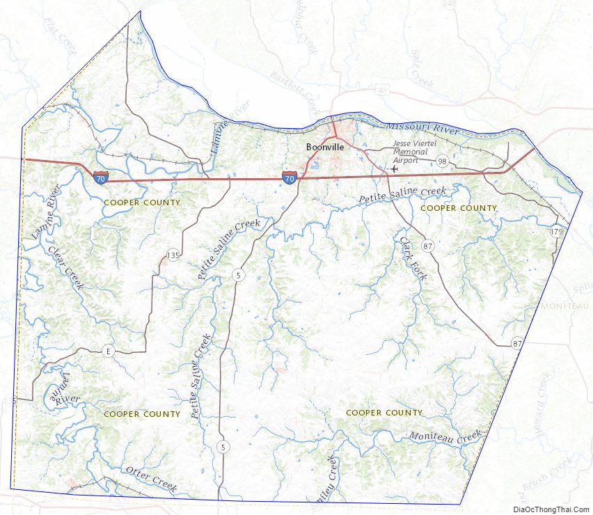
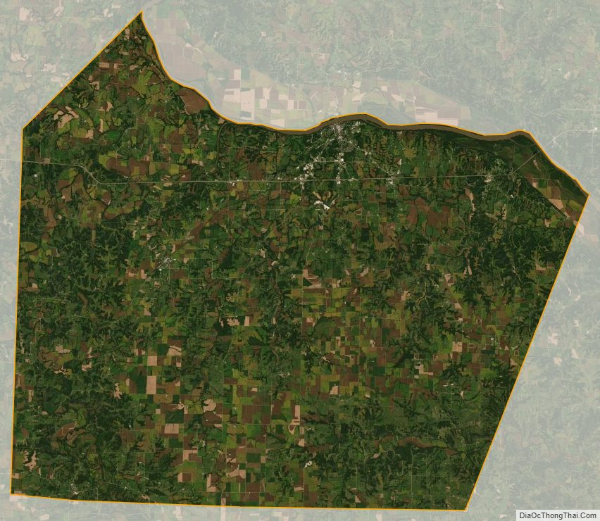
Cooper County Satellite Map
Cooper County Outline Map