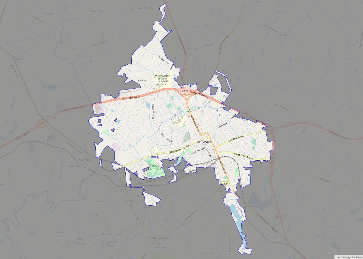
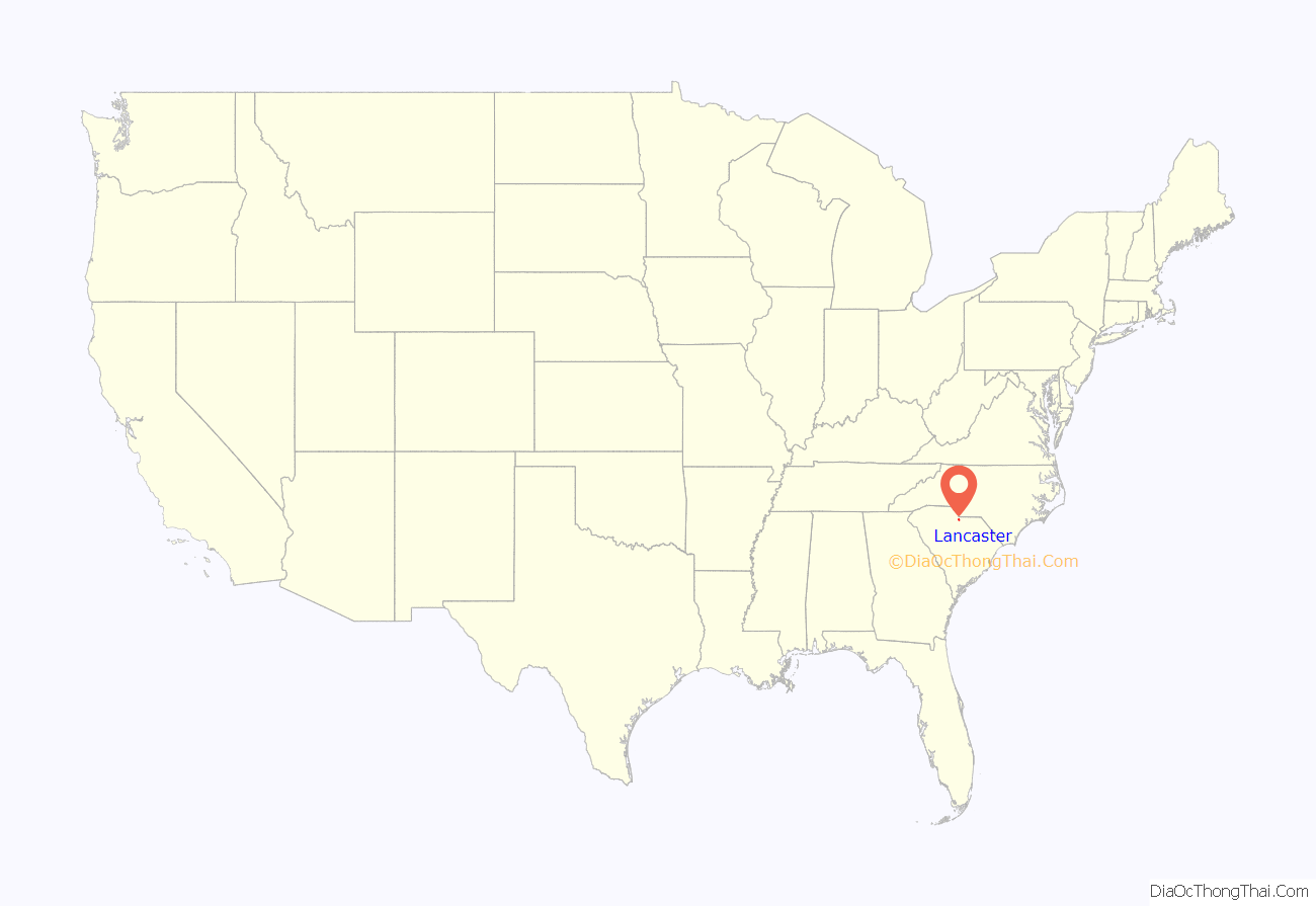
The city of Lancaster (/ˈleɪŋkəstər/) is the county seat of Lancaster County, South Carolina, United States, located in the Charlotte Metropolitan Area. As of the United States Census of 2010, the city population was 8,526. The city was named after the famous House of Lancaster.
| Name: | Lancaster city |
|---|---|
| LSAD Code: | 25 |
| LSAD Description: | city (suffix) |
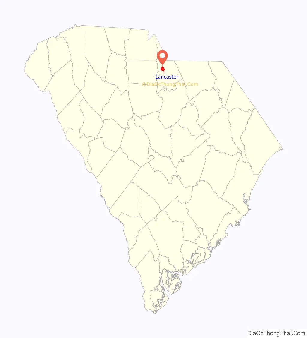
| State: | South Carolina |
| County: | Lancaster County |
| Incorporated: | 1830 |
| Elevation: | 545 ft (166 m) |
| Land Area: | 6.81 sq mi (17.63 km²) |
| Water Area: | 0.08 sq mi (0.21 km²) |
| Population Density: | 1,242.66/sq mi (479.81/km²) |
| ZIP code: | 29720-29722 |
| Area code: | 803 and 839 |
| FIPS code: | 4539895 |
| GNISfeature ID: | 1246285 |
| Website: | www.lancastercitysc.com |
Online Interactive Map
Click on ![]() to view map in "full screen" mode.
to view map in "full screen" mode.
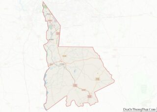
Lancaster location map. Where is Lancaster city?
History
The following are listed on the National Register of Historic Places:
- Robert Barnwell Allison House
- Craig House
- Cureton House
- Thomas Walker Huey House
- Lancaster Cotton Oil Company
- Lancaster County Courthouse
- Lancaster County Jail
- Lancaster Downtown Historic District
- Lancaster Presbyterian Church
- Mount Carmel A.M.E. Zion Campground
- North Carolina-South Carolina Cornerstone
- Perry-McIlwain-McDow House
- Leroy Springs House
- Wade-Beckham House
- Waxhaw Presbyterian Church Cemetery
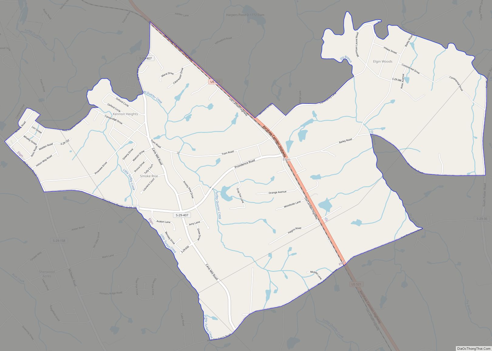
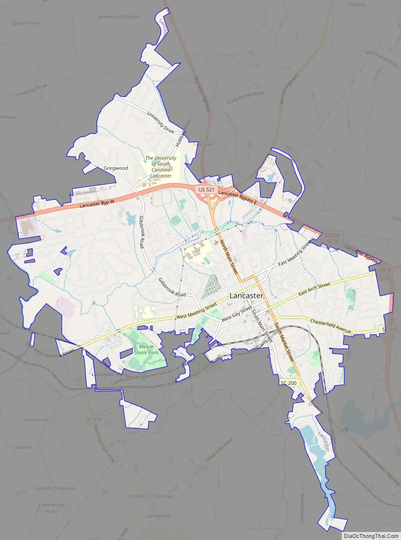
Lancaster Road Map
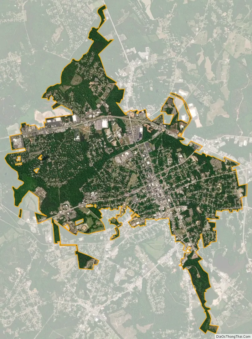
Lancaster city Satellite Map
Geography
Lancaster is located at 34°43′16″N 80°46′24″W / 34.72111°N 80.77333°W / 34.72111; -80.77333 (34.721100, -80.773315).
According to the United States Census Bureau, the city has a total area of 5.9 square miles (15 km), of which 5.8 square miles (15 km) is land and 0.1 square miles (0.26 km) (1.36%) is water.
See also
Map of South Carolina State and its subdivision:- Abbeville
- Aiken
- Allendale
- Anderson
- Bamberg
- Barnwell
- Beaufort
- Berkeley
- Calhoun
- Charleston
- Cherokee
- Chester
- Chesterfield
- Clarendon
- Colleton
- Darlington
- Dillon
- Dorchester
- Edgefield
- Fairfield
- Florence
- Georgetown
- Greenville
- Greenwood
- Hampton
- Horry
- Jasper
- Kershaw
- Lancaster
- Laurens
- Lee
- Lexington
- Marion
- Marlboro
- McCormick
- Newberry
- Oconee
- Orangeburg
- Pickens
- Richland
- Saluda
- Spartanburg
- Sumter
- Union
- Williamsburg
- York
- Alabama
- Alaska
- Arizona
- Arkansas
- California
- Colorado
- Connecticut
- Delaware
- District of Columbia
- Florida
- Georgia
- Hawaii
- Idaho
- Illinois
- Indiana
- Iowa
- Kansas
- Kentucky
- Louisiana
- Maine
- Maryland
- Massachusetts
- Michigan
- Minnesota
- Mississippi
- Missouri
- Montana
- Nebraska
- Nevada
- New Hampshire
- New Jersey
- New Mexico
- New York
- North Carolina
- North Dakota
- Ohio
- Oklahoma
- Oregon
- Pennsylvania
- Rhode Island
- South Carolina
- South Dakota
- Tennessee
- Texas
- Utah
- Vermont
- Virginia
- Washington
- West Virginia
- Wisconsin
- Wyoming