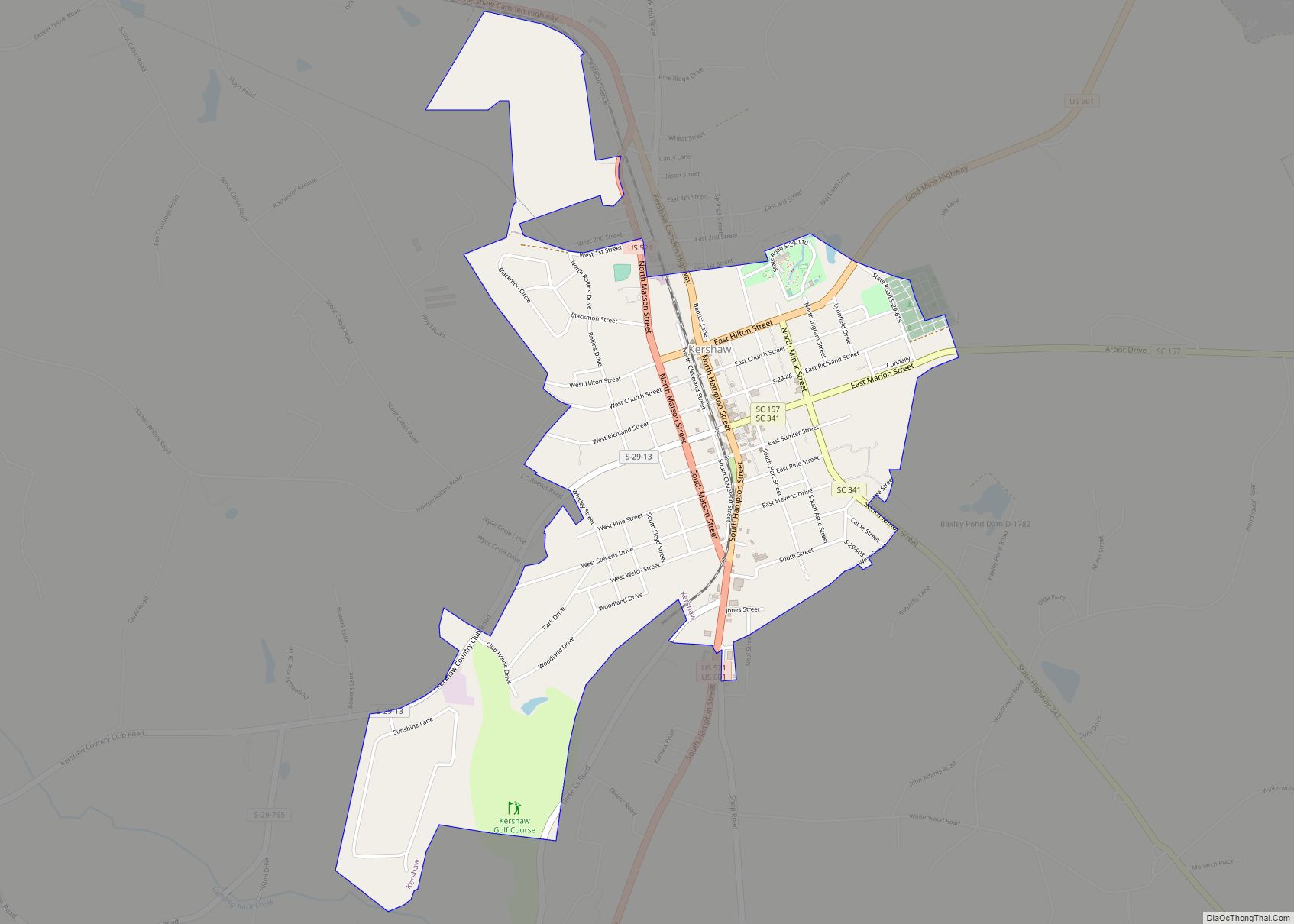
Kershaw is a town in Lancaster County, South Carolina, United States. It was incorporated in 1888. As of the 2010 census, the population was 1,803, and as of 2019 the estimated population was 2,321. The Haile Gold Mine, where gold was discovered in 1825, is 3 miles (5 km) from town and was at one time the largest single producer of gold in the Appalachian region.
| Name: | Kershaw town |
|---|---|
| LSAD Code: | 43 |
| LSAD Description: | town (suffix) |
| State: | South Carolina |
| County: | Lancaster County |
| Elevation: | 522 ft (159 m) |
| Total Area: | 1.86 sq mi (4.81 km²) |
| Land Area: | 1.86 sq mi (4.81 km²) |
| Water Area: | 0.00 sq mi (0.00 km²) |
| Total Population: | 1,693 |
| Population Density: | 911.69/sq mi (351.94/km²) |
| ZIP code: | 29067 |
| Area code: | 803, 839 |
| FIPS code: | 4538095 |
| GNISfeature ID: | 1246239 |
| Website: | www.townofkershawsc.gov |
Online Interactive Map
Click on ![]() to view map in "full screen" mode.
to view map in "full screen" mode.
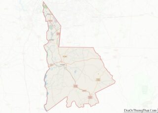
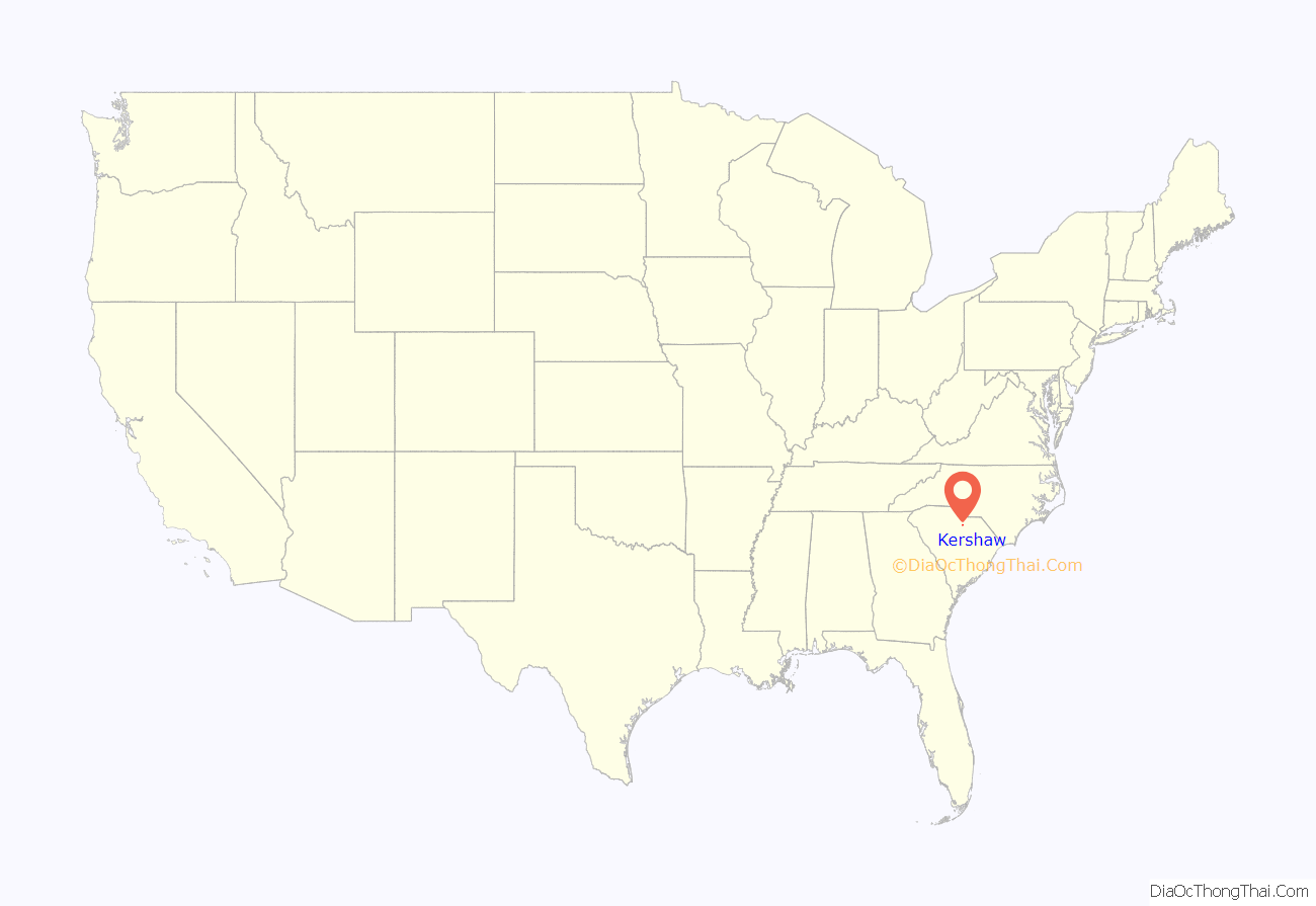
Kershaw location map. Where is Kershaw town?

History
The Dr. William Columbus Cauthen House, Clinton AME Zion Church, East Richland Street-East Church Street Historic District, Kershaw Depot, Matson Street Historic District, and Unity Baptist Church are listed on the National Register of Historic Places.
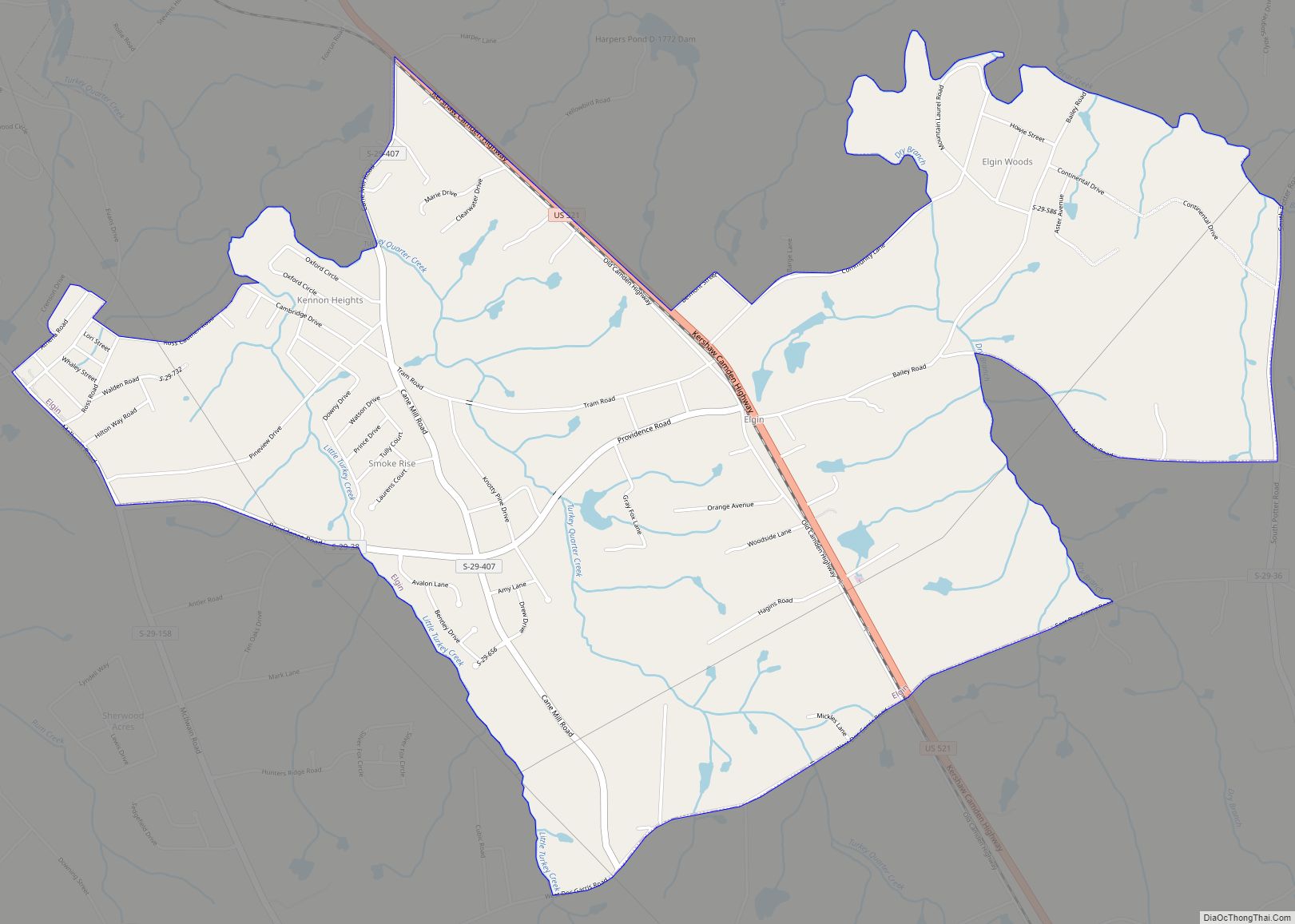
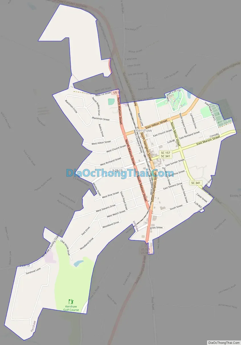
Kershaw Road Map
Kershaw city Satellite Map

Geography
Kershaw is located in southern Lancaster County at 34°32′50″N 80°34′58″W / 34.54722°N 80.58278°W / 34.54722; -80.58278 (34.547245, -80.582843). U.S. Routes 521 and 601 pass through the town. US 521 leads northwest 6 miles (10 km) to Heath Springs and 17 miles (27 km) to Lancaster, the county seat, while US 601 leads northeast 22 miles (35 km) to Pageland. Together the two highways lead south 21 miles (34 km) to Camden. Kershaw is 54 miles (87 km) northeast of Columbia, the state capital, and 60 miles (97 km) south of Charlotte, North Carolina.
According to the United States Census Bureau, the town has a total area of 2.1 square miles (5.4 km), all land. The town drains west to Lick Creek and east to the Little Lynches River, all part of the Lynches River watershed flowing southeast to the Great Pee Dee River.
See also
Map of South Carolina State and its subdivision:- Abbeville
- Aiken
- Allendale
- Anderson
- Bamberg
- Barnwell
- Beaufort
- Berkeley
- Calhoun
- Charleston
- Cherokee
- Chester
- Chesterfield
- Clarendon
- Colleton
- Darlington
- Dillon
- Dorchester
- Edgefield
- Fairfield
- Florence
- Georgetown
- Greenville
- Greenwood
- Hampton
- Horry
- Jasper
- Kershaw
- Lancaster
- Laurens
- Lee
- Lexington
- Marion
- Marlboro
- McCormick
- Newberry
- Oconee
- Orangeburg
- Pickens
- Richland
- Saluda
- Spartanburg
- Sumter
- Union
- Williamsburg
- York
- Alabama
- Alaska
- Arizona
- Arkansas
- California
- Colorado
- Connecticut
- Delaware
- District of Columbia
- Florida
- Georgia
- Hawaii
- Idaho
- Illinois
- Indiana
- Iowa
- Kansas
- Kentucky
- Louisiana
- Maine
- Maryland
- Massachusetts
- Michigan
- Minnesota
- Mississippi
- Missouri
- Montana
- Nebraska
- Nevada
- New Hampshire
- New Jersey
- New Mexico
- New York
- North Carolina
- North Dakota
- Ohio
- Oklahoma
- Oregon
- Pennsylvania
- Rhode Island
- South Carolina
- South Dakota
- Tennessee
- Texas
- Utah
- Vermont
- Virginia
- Washington
- West Virginia
- Wisconsin
- Wyoming