| Name: | Las Animas County |
|---|---|
| FIPS code: | 08-071 |
| State: | Colorado |
| Founded: | February 9, 1866 |
| Named for: | Purgatoire River |
| Seat: | Trinidad |
| Total Area: | 4,775 sq mi (12,370 km²) |
| Land Area: | 4,773 sq mi (12,360 km²) |
| Total Population: | 14,555 |
| Time zone: | UTC−7 (Mountain) |
| Summer Time Zone (DST): | UTC−6 (MDT) |
| Website: | lasanimascounty.colorado.gov |
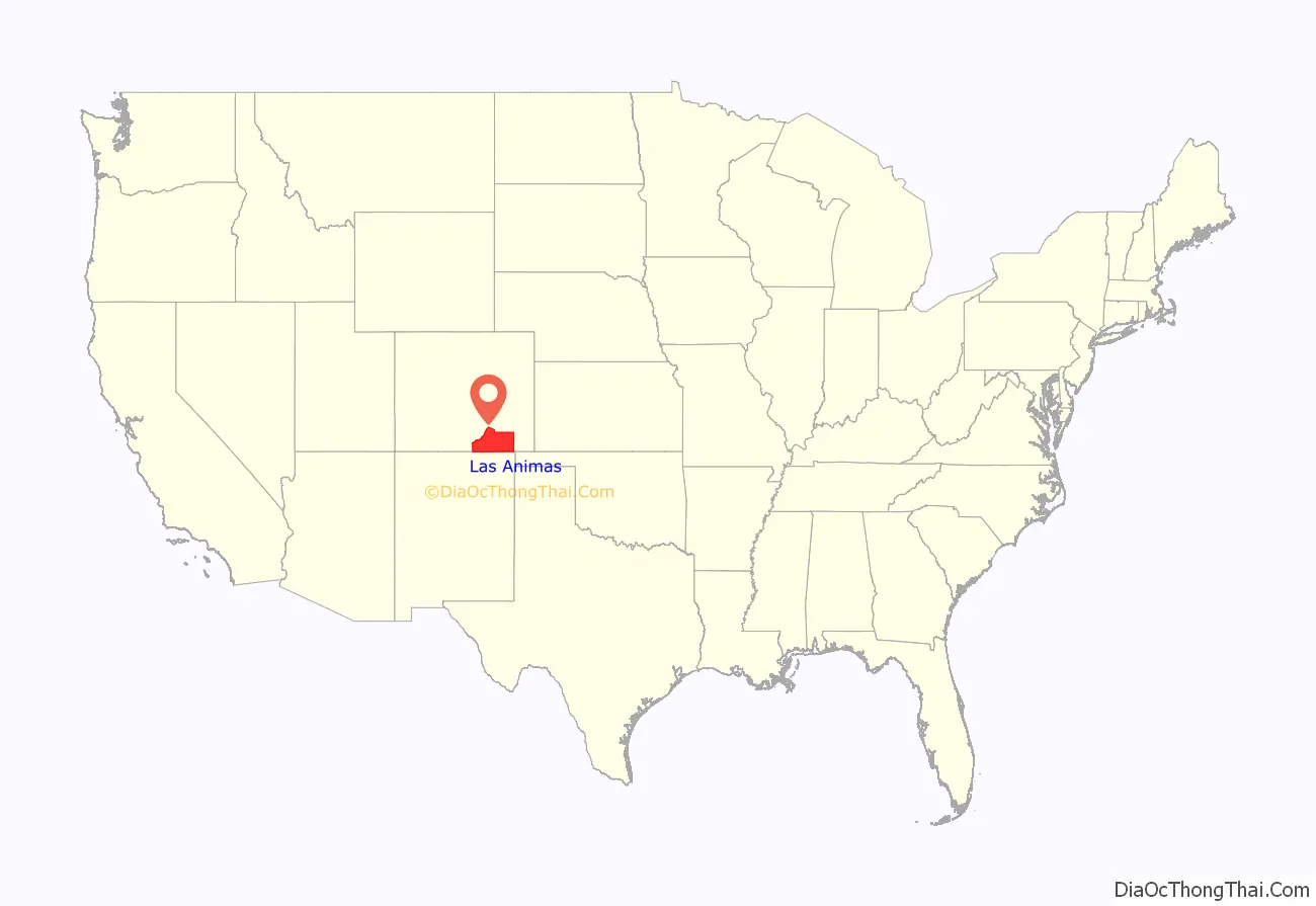
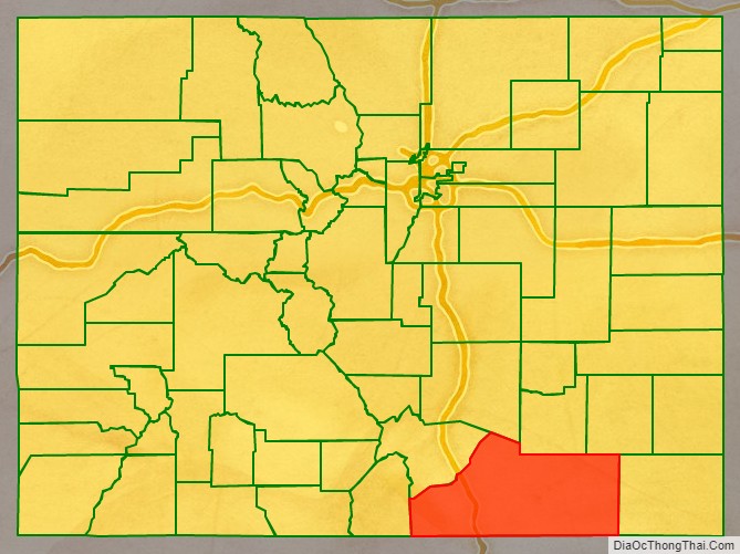
Las Animas County location map. Where is Las Animas County?
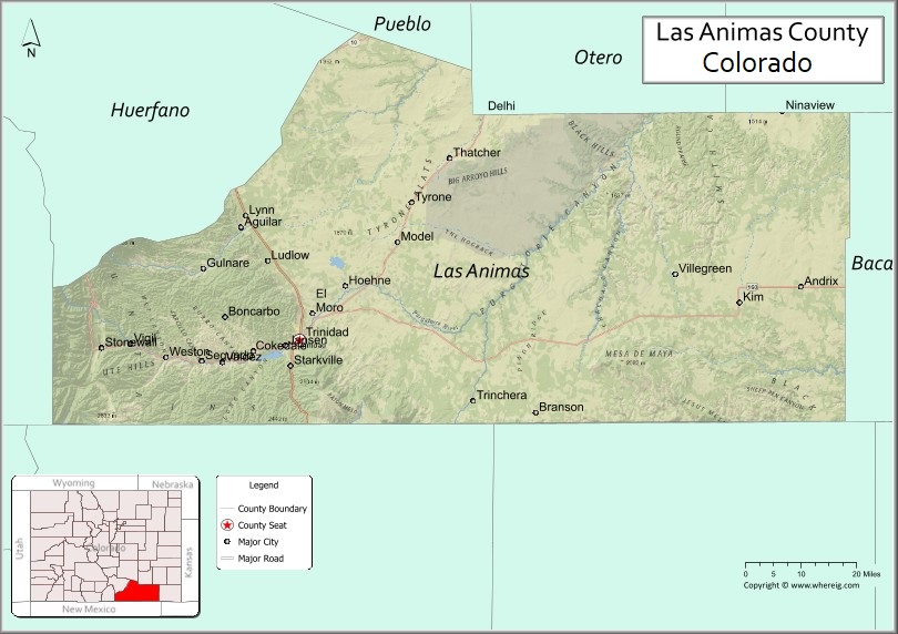
Las Animas County Road Map

Geography
According to the U.S. Census Bureau, the county has a total area of 4,775 square miles (12,370 km), of which 4,773 square miles (12,360 km) is land and 2.7 square miles (7.0 km) (0.06%) is water. It is the largest county by area in Colorado.
Adjacent counties
- Otero County – north
- Pueblo County – north
- Bent County – northeast
- Baca County – east
- Union County, New Mexico – south
- Colfax County, New Mexico – southwest
- Costilla County– west
- Huerfano County – northwest
Major highways
- Interstate 25
- I-25 BL
- I-25 BS
- U.S. Highway 160
- U.S. Highway 350
- State Highway 12
- State Highway 109
- State Highway 389
Protected areas
- Comanche National Grassland
- Lake Dorothey State Wildlife Area
- James M. John State Wildlife Area
- San Isabel National Forest
- Spanish Peaks Wilderness
- Fishers Peak State Park
- Trinidad Lake State Park
Historic trails and landmarks
- Mesa de Maya
- Raton Pass National Historic Landmark
- Santa Fe National Historic Trail
- Trinidad State History Museum
Scenic byways
- Highway of Legends Scenic Byway
- Santa Fe Trail National Scenic Byway
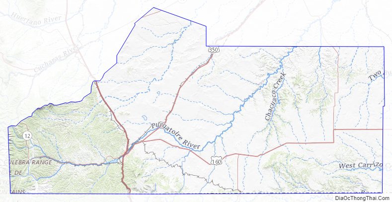
Las Animas County Topographic Map
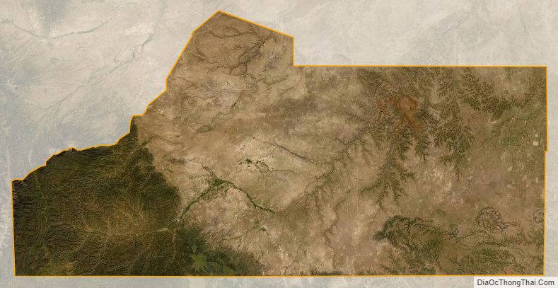
Las Animas County Satellite Map
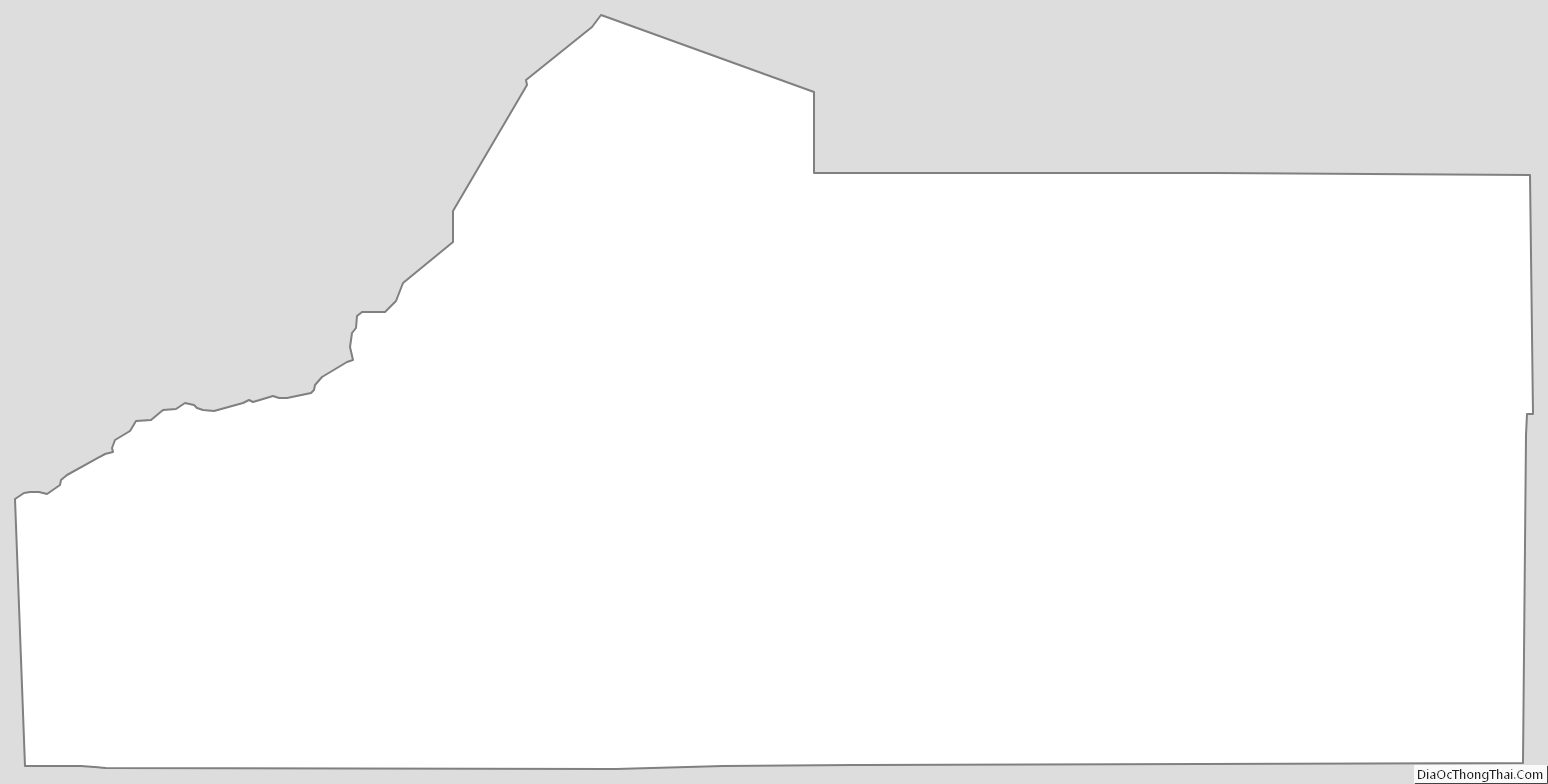
Las Animas County Outline Map