Trinidad is the home rule municipality that is the county seat and the most populous municipality of Las Animas County, Colorado, United States. The population was 8,329 as of the 2020 census. Trinidad lies 21 mi (34 km) north of Raton, New Mexico, and 195 mi (314 km) south of Denver. It is on the historic Santa Fe Trail.
| Name: | Trinidad city |
|---|---|
| LSAD Code: | 25 |
| LSAD Description: | city (suffix) |
| State: | Colorado |
| County: | Las Animas County |
| Incorporated: | December 30, 1879 |
| Elevation: | 6,010 ft (1,832 m) |
| Total Area: | 9.38 sq mi (24.31 km²) |
| Land Area: | 9.38 sq mi (24.31 km²) |
| Water Area: | 0.00 sq mi (0.00 km²) |
| Total Population: | 8,329 |
| Population Density: | 873.73/sq mi (337.37/km²) |
| ZIP code: | 81082 |
| Area code: | 719 |
| FIPS code: | 0878610 |
| GNISfeature ID: | 0204811 |
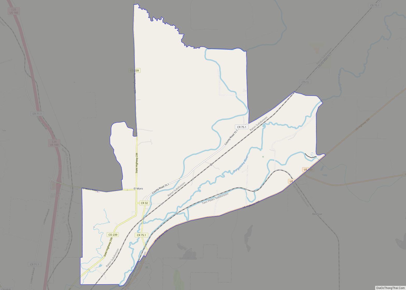
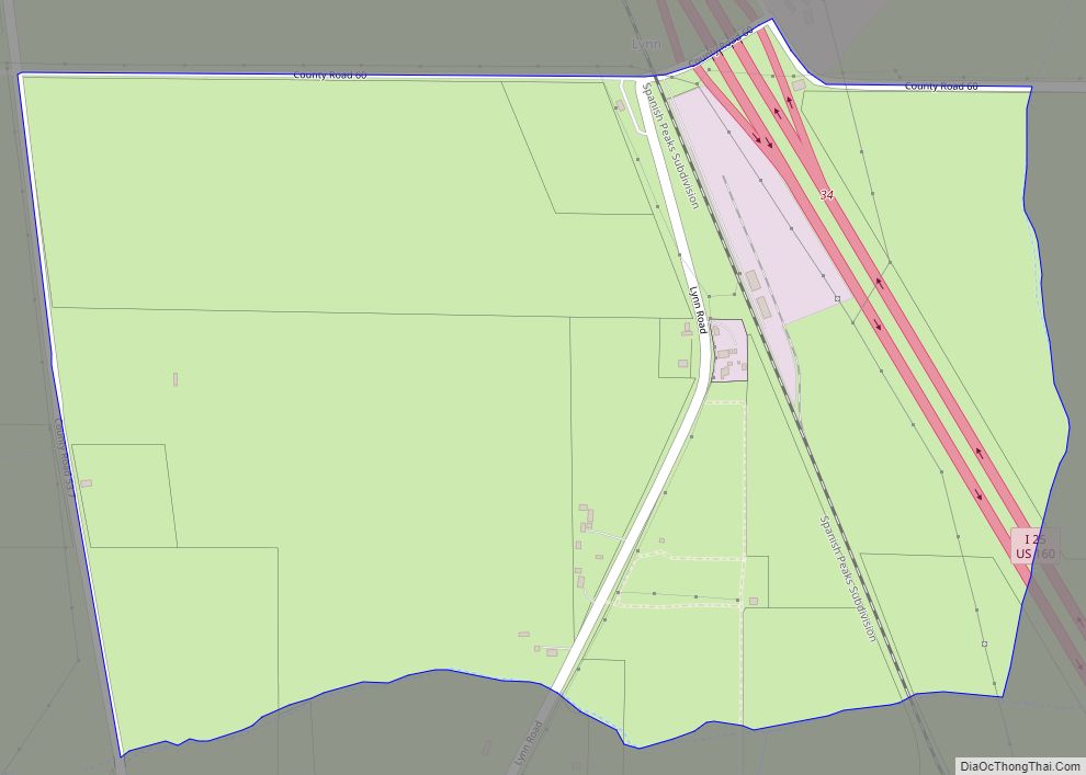
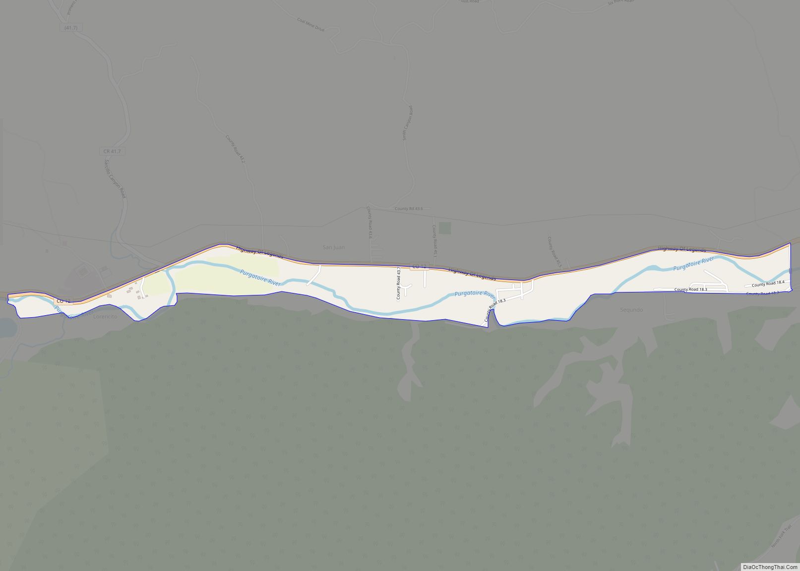
Online Interactive Map
Click on ![]() to view map in "full screen" mode.
to view map in "full screen" mode.
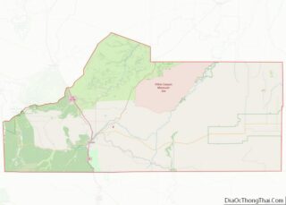
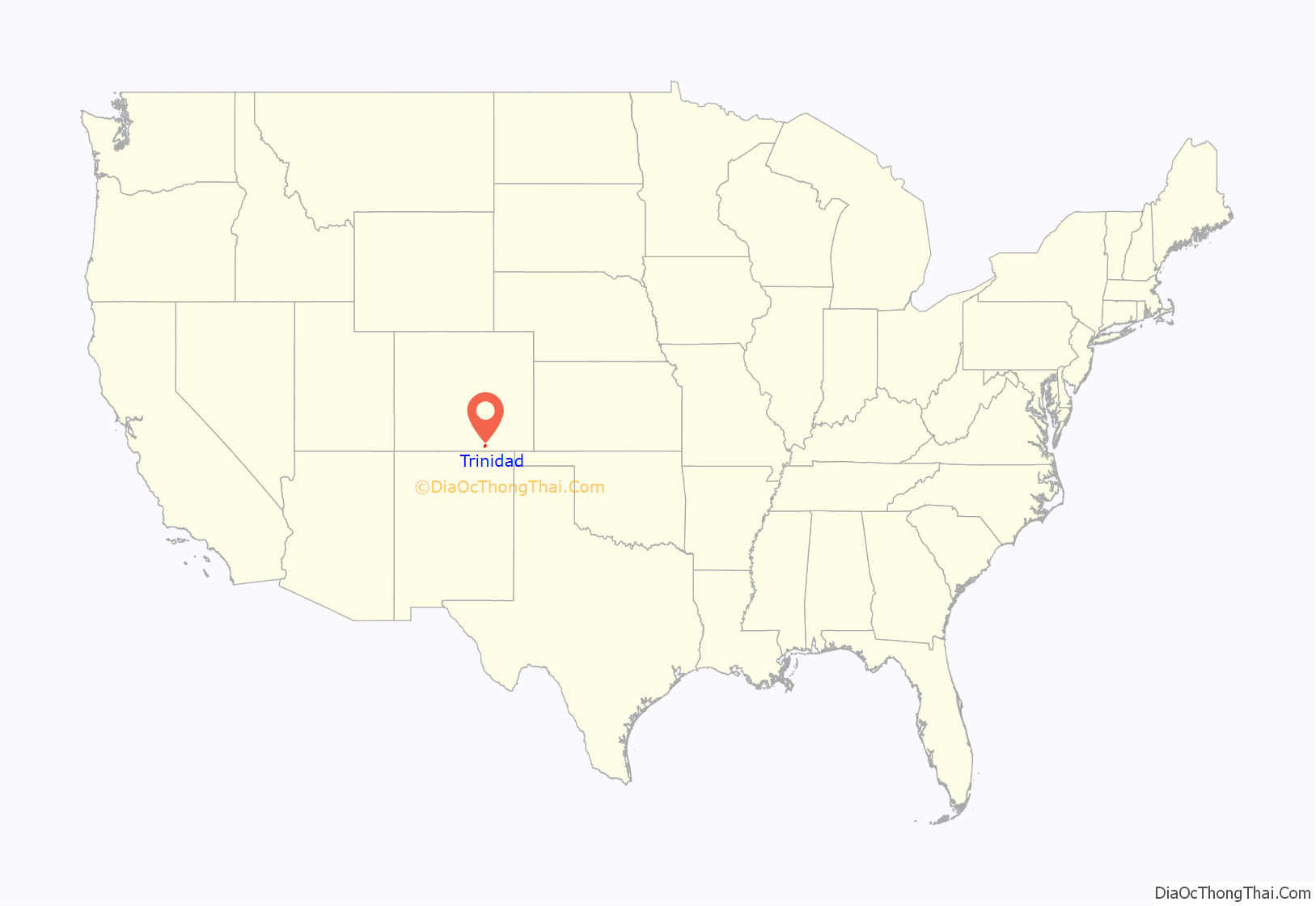
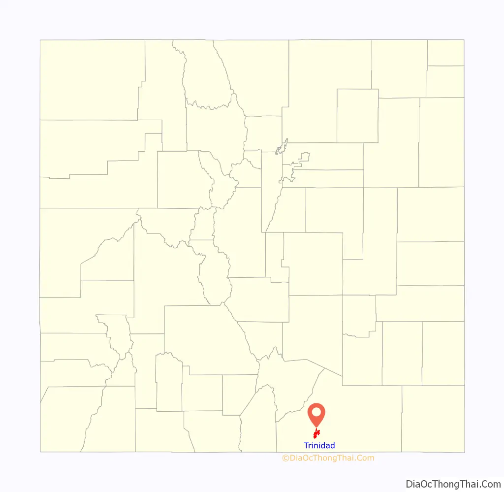
Trinidad location map. Where is Trinidad city?
History
Early
Trinidad was first explored by Spanish and Mexican traders, who liked its proximity to the Santa Fe Trail. It was founded in 1862 soon after coal was discovered in the region. This led to an influx of immigrants eager to capitalize on this natural resource. By the late 1860s, the town had about 1,200 residents. Trinidad was officially incorporated in 1876, just a few months before Colorado became a state. In 1878 the Atchison, Topeka and Santa Fe Railway reached Trinidad, making it easier for goods to be shipped from distant locations. In the 1880s Trinidad became home to a number of well-known people, including Bat Masterson, who briefly served as the town’s marshal in 1882. By 1900 Trinidad’s population had grown to 7,500 and it had two English-language newspapers and one in Spanish. In 1885, Holy Trinity Catholic Church was constructed.
In the early 1900s Trinidad became nationally known for having the first woman sports editor of a newspaper, Ina Eloise Young. Her expertise was in baseball, and in 1908 she was the only woman sportswriter to cover the World Series. During the same time, Trinidad was home to a popular semiprofessional baseball team that was briefly coached by Damon Runyon.
On August 7, 1902, the Bowen Town coal mine, six miles north of Trinidad, experienced a horrific gas explosion, killing 13 miners. It was one of the worst mining disasters so far in the state; conditions in the mine provided the impetus for several labor strikes. At one point in late 1903, an estimated 3,000 miners, members of the United Mine Workers of America, went on strike. In 1904 Trinidad experienced several disasters. In mid-January a fire destroyed two blocks of the town’s business section, causing more than $75,000 in damages. In late September, the Trinidad area and the region along the Purgatoire River endured an unusually heavy rainstorm, leading to severe flooding; the flood destroyed the Santa Fe railroad station, wiped out every bridge in town, and caused several hundred thousand dollars’ worth of property damage. As Trinidad continued to grow, a number of new construction projects began in the downtown area, including a new library, a new city hall, an opera house, and a new hotel.
Trinidad became the a focal point of the 1913-1914 United Mine Workers of America strike against the Rockefeller-owned Colorado Fuel & Iron company, which has come to be known as the Colorado Coalfield War. The Colorado and Southern Railway stop that connected Trinidad with Denver and Walsenburg made the town strategically important for both the strikers and Colorado National Guard. On April 20, 1914, just 18 miles north of town, the events of the Ludlow Massacre occurred.
Recent
Trinidad was dubbed the “Sex Change Capital of the World”, because a local doctor had an international reputation for performing sex reassignment surgery. In the 1960s, Stanley Biber, a veteran surgeon returning from Korea, decided to move to Trinidad because he had heard that the town needed a surgeon. In 1969 a local social worker asked him to perform the surgery for her, which he learned by consulting diagrams and a New York surgeon. Biber attained a reputation as a good surgeon at a time when very few doctors were performing sex-change operations. At his peak he averaged four sex-change operations a day, and the term “taking a trip to Trinidad” became a euphemism for some seeking the procedures he offered. Biber was featured in an episode of South Park, in which elementary school teacher Mr. Garrison undergoes a sex-change operation. Biber’s surgical practice was taken over in 2003 by Marci Bowers. Bowers has since moved the practice to Burlingame, California. The 2008 documentary Trinidad focuses on Bowers and two of her patients.
Drop City, a counterculture artists’ community, was formed in 1965 on land about 4 mi (6.4 km) north of Trinidad. Founded by art students and filmmakers from the University of Kansas and University of Colorado at Boulder, Drop City became known as the first rural “hippie commune”, and received attention from Life and Time magazines, as well as from reporters around the world. Drop City was abandoned by the early 1970s, but influenced subsequent alternative-living projects across the country.
In 2015 Trinidad started to experience a new boom due to the marijuana industry. The town raised $4.4 million in tax revenue from $44 million in annual marijuana sales, about 5.13% of the state’s total sales. In 2018 High Times called Trinidad “Weed Town, USA”, noting that its 23 licensed retail marijuana dispensaries serving less than 10,000 people amounts to one dispensary per 352 people. “In one downtown block alone along Commercial Street, there are eight dispensaries in a section of town some locals jokingly refer to as the Trinidad ‘weed mall’.”
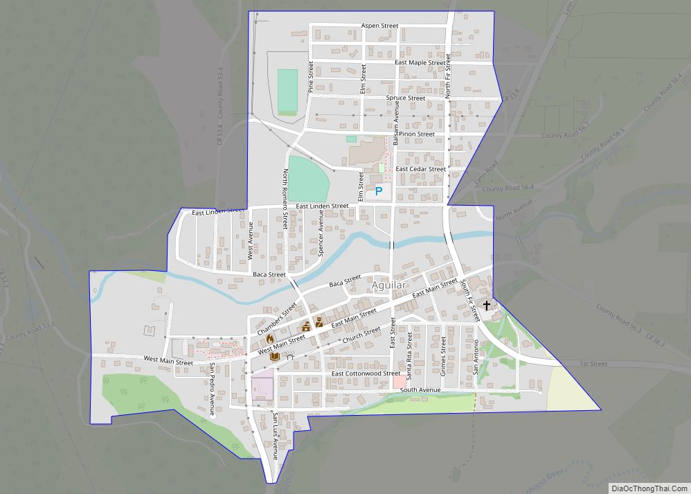
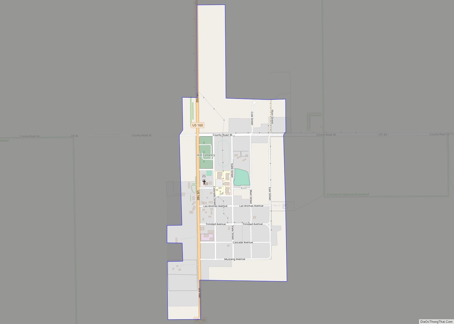
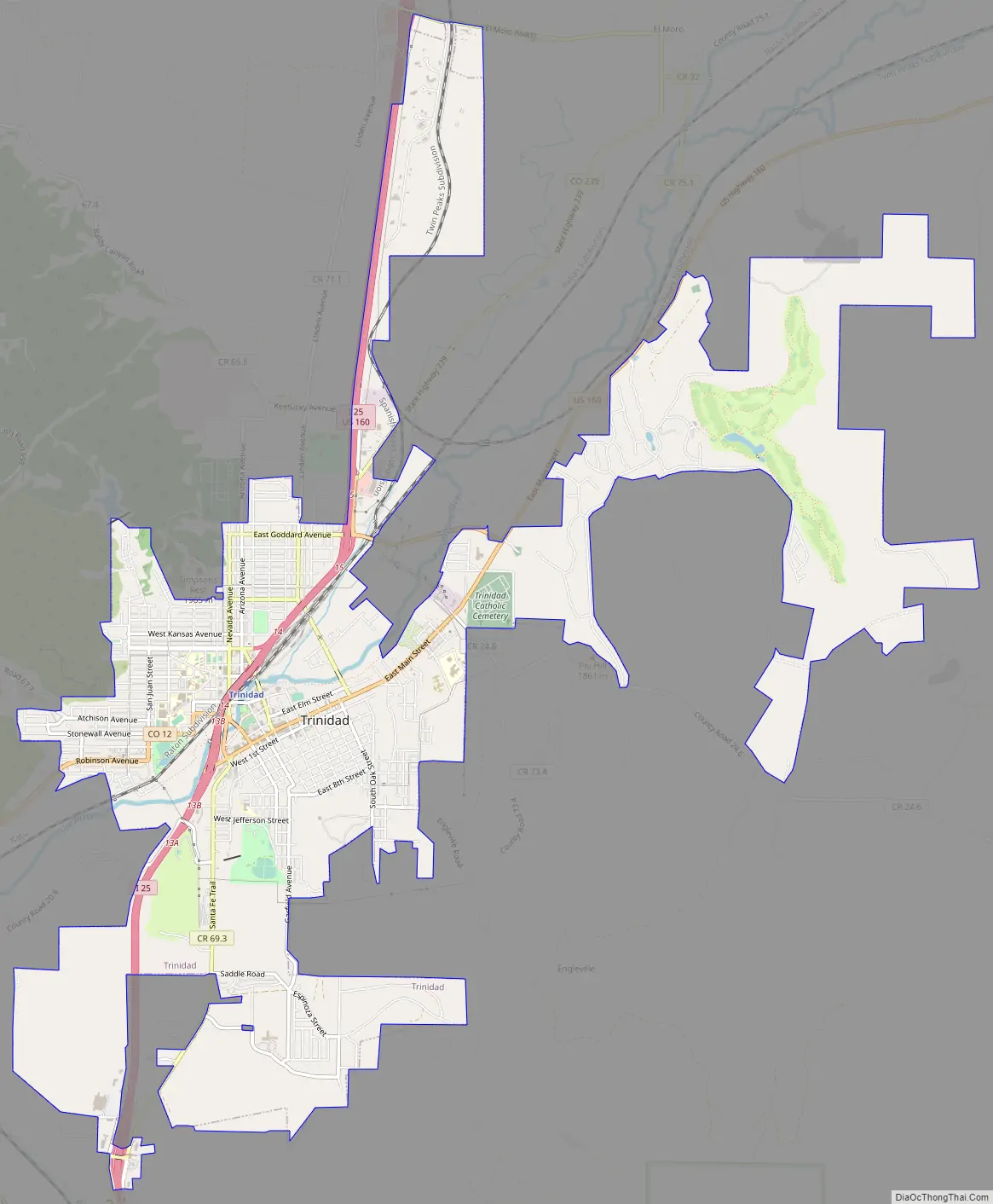
Trinidad Road Map
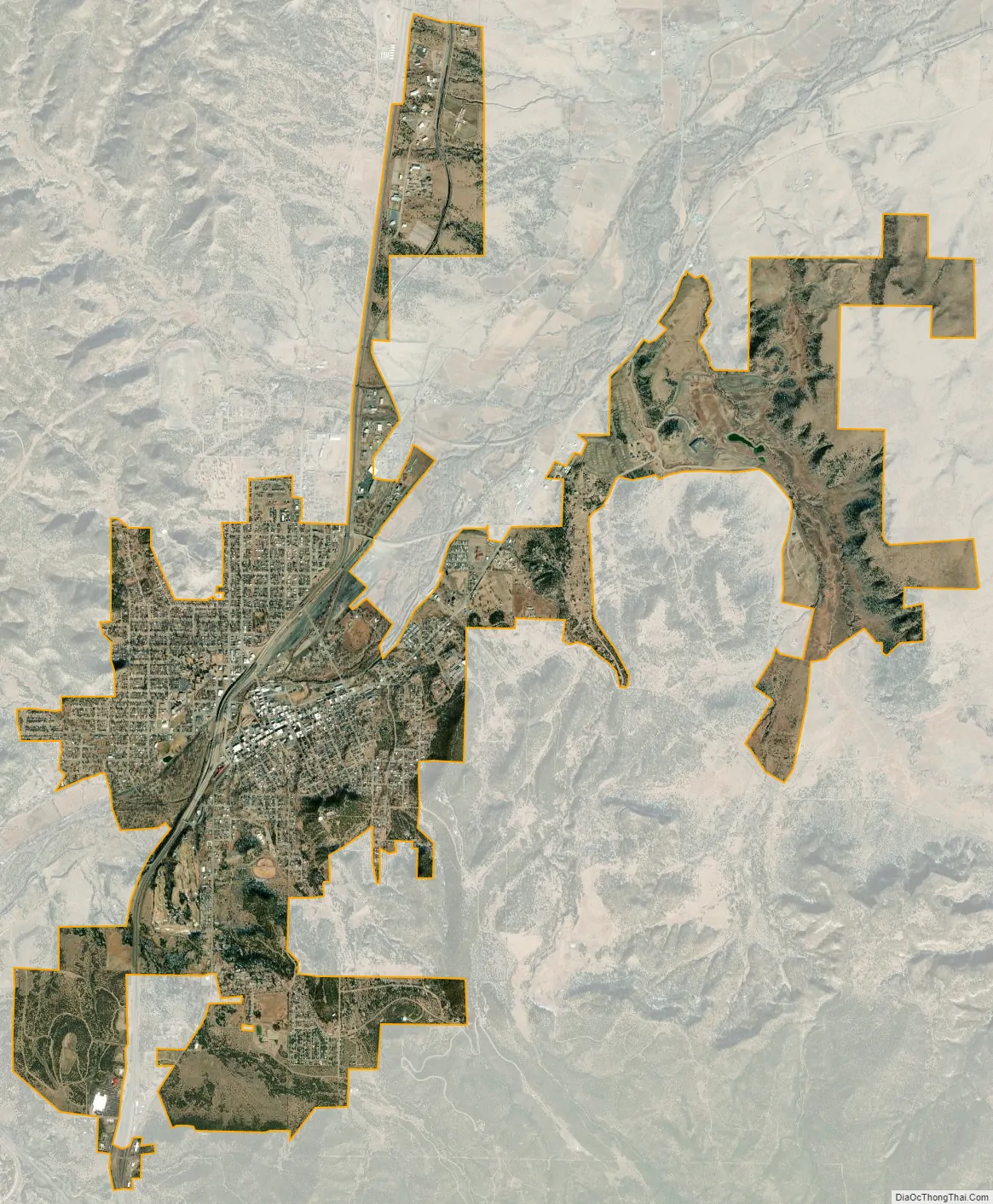
Trinidad city Satellite Map
Geography
Trinidad is located at 37°10′15″N 104°30′23″W / 37.17083°N 104.50639°W / 37.17083; -104.50639 (37.170944, −104.506447). According to the United States Census Bureau, the city has a total area of 6.3 square miles (16 km), all of it land.
Trinidad is situated in the Purgatoire River valley in far southern Colorado at an elevation of 6,025 ft (1,836 m). The city lies 13 mi north of the New Mexico border. On the northern end of the town is Simpson’s Rest, a prominent bluff named for early resident George Simpson, who is buried atop it. North Avenue leads to a rut-prone county road to the top of Simpson’s Rest for overviews of the city. The vista from Simpson’s Rest includes Fishers Peak, a prominent mountain of 9,600 ft (2,900 m) in elevation, southeast of the city. To the northwest are the prominent Spanish Peaks.
Climate
Trinidad experiences a semiarid climate, with hot summers and cold winters. Summer days are hot, but due to Trinidad’s high elevation summer nights are cool, and temperatures drop sharply after sunset. Winters are cold, but milder than in many mountain towns in Colorado. In the winter, daytime highs are usually above freezing, but temperatures below 0 °F or −17.8 °C are possible, especially at night.
See also
Map of Colorado State and its subdivision:- Adams
- Alamosa
- Arapahoe
- Archuleta
- Baca
- Bent
- Boulder
- Broomfield
- Chaffee
- Cheyenne
- Clear Creek
- Conejos
- Costilla
- Crowley
- Custer
- Delta
- Denver
- Dolores
- Douglas
- Eagle
- El Paso
- Elbert
- Fremont
- Garfield
- Gilpin
- Grand
- Gunnison
- Hinsdale
- Huerfano
- Jackson
- Jefferson
- Kiowa
- Kit Carson
- La Plata
- Lake
- Larimer
- Las Animas
- Lincoln
- Logan
- Mesa
- Mineral
- Moffat
- Montezuma
- Montrose
- Morgan
- Otero
- Ouray
- Park
- Phillips
- Pitkin
- Prowers
- Pueblo
- Rio Blanco
- Rio Grande
- Routt
- Saguache
- San Juan
- San Miguel
- Sedgwick
- Summit
- Teller
- Washington
- Weld
- Yuma
- Alabama
- Alaska
- Arizona
- Arkansas
- California
- Colorado
- Connecticut
- Delaware
- District of Columbia
- Florida
- Georgia
- Hawaii
- Idaho
- Illinois
- Indiana
- Iowa
- Kansas
- Kentucky
- Louisiana
- Maine
- Maryland
- Massachusetts
- Michigan
- Minnesota
- Mississippi
- Missouri
- Montana
- Nebraska
- Nevada
- New Hampshire
- New Jersey
- New Mexico
- New York
- North Carolina
- North Dakota
- Ohio
- Oklahoma
- Oregon
- Pennsylvania
- Rhode Island
- South Carolina
- South Dakota
- Tennessee
- Texas
- Utah
- Vermont
- Virginia
- Washington
- West Virginia
- Wisconsin
- Wyoming