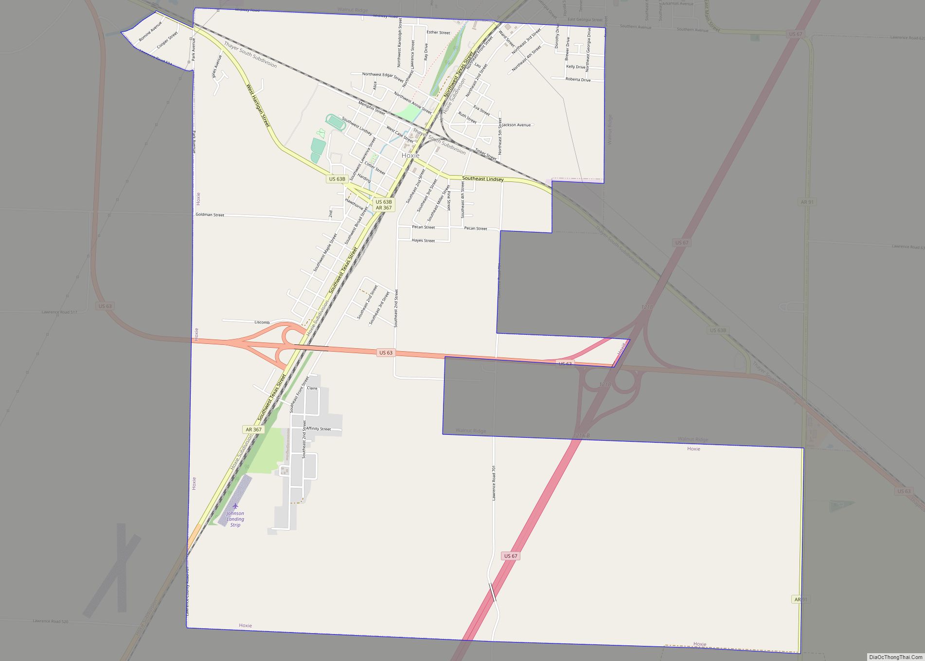
Walnut Ridge is a city in Lawrence County, Arkansas, United States. The population was 5,098 at the United States Census’s 2019 estimate. The city is the county seat of Lawrence County. Walnut Ridge lies immediately north of Hoxie. The two towns form a contiguous urban area with approximately 8,000 residents. Williams Baptist University is in College City, a formerly separate community that merged into Walnut Ridge in 2017.
| Name: | Walnut Ridge city |
|---|---|
| LSAD Code: | 25 |
| LSAD Description: | city (suffix) |
| State: | Arkansas |
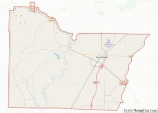
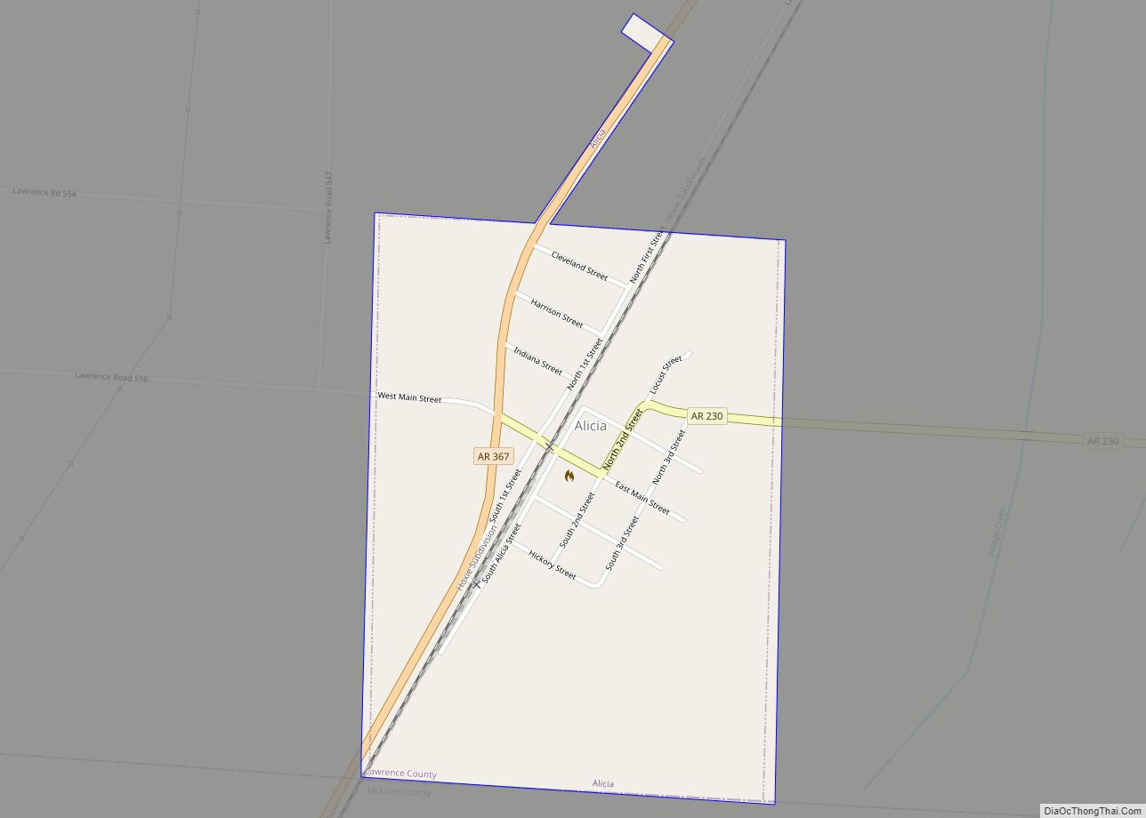
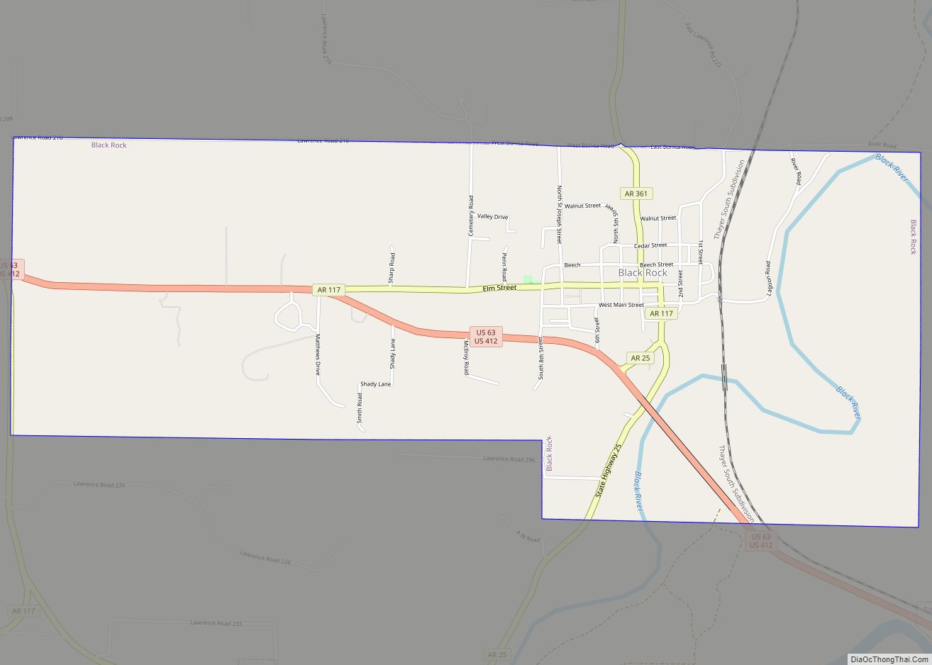
| County: | Lawrence County |
| Elevation: | 272 ft (83 m) |
| Total Area: | 16.62 sq mi (43.05 km²) |
| Land Area: | 16.62 sq mi (43.05 km²) |
| Water Area: | 0.00 sq mi (0.00 km²) |
| Total Population: | 5,384 |
| Population Density: | 323.95/sq mi (125.08/km²) |
| ZIP code: | 72476 |
| Area code: | 870 |
| FIPS code: | 0572890 |
| GNISfeature ID: | 0078686 |
| Website: | www.cityofwalnutridge.com |
Online Interactive Map
Click on ![]() to view map in "full screen" mode.
to view map in "full screen" mode.
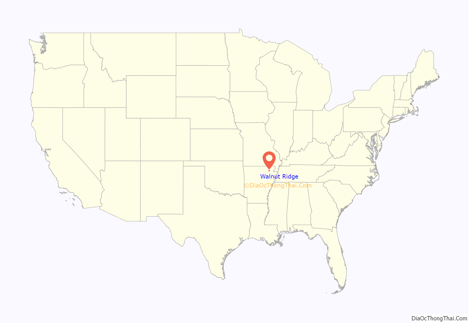
Walnut Ridge location map. Where is Walnut Ridge city?
History
Walnut Ridge was formally established in 1875 as a result of the railroad coming through the area. There was settlement in the area known as Old Walnut Ridge not far from the current city since about 1860.
In 1964, the Beatles briefly stopped at Walnut Ridge Regional Airport on the way to and from a retreat in Missouri. This visit inspired a monument, a plaza, and a music festival in Walnut Ridge.
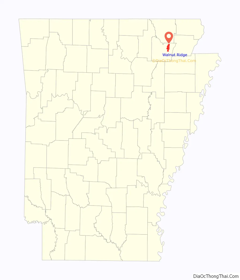
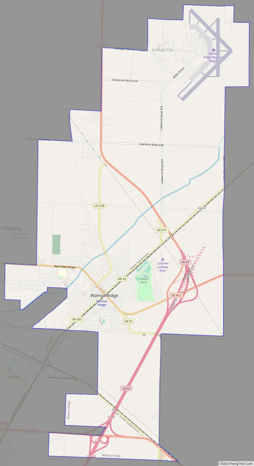
Walnut Ridge Road Map
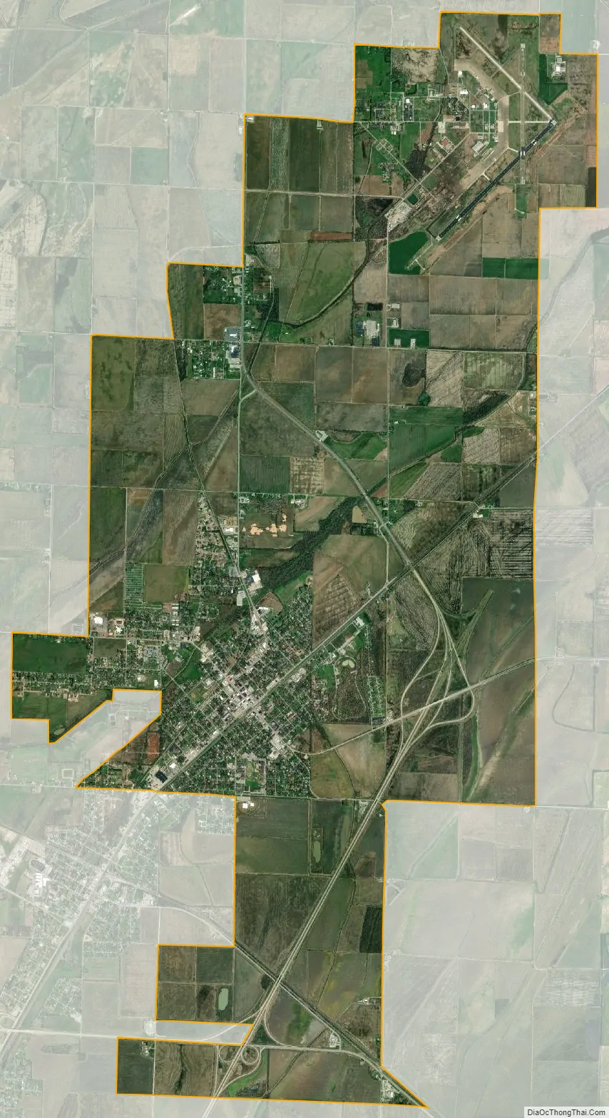
Walnut Ridge city Satellite Map
Geography
Walnut Ridge is in northeastern Lawrence County in the Upper Delta region of northeastern Arkansas. It is bordered to the south by the city of Hoxie. U.S. Route 412 passes through the center of Walnut Ridge on Main Street, leading east 26 miles (42 km) to Paragould and northwest 39 miles (63 km) to Hardy. U.S. Route 67 passes through the east side of Walnut Ridge on a four-lane bypass; the highway leads north 14 miles (23 km) to Pocahontas and southwest 40 miles (64 km) to Newport. Arkansas Highway 34 runs northeast out of the center of Walnut Ridge on Front Street, leading 17 miles (27 km) to Delaplaine.
According to the United States Census Bureau, the city of Walnut Ridge has a total area of 16.4 square miles (42.4 km), all of it recorded as land. Village Creek flows through the western side of the city, leading southwest to the White River near Newport.
Climate
Climate is characterized by relatively high temperatures and evenly distributed precipitation throughout the year. The Köppen Climate Classification subtype for this climate is “Cfa” (Humid Subtropical Climate).
See also
Map of Arkansas State and its subdivision:- Arkansas
- Ashley
- Baxter
- Benton
- Boone
- Bradley
- Calhoun
- Carroll
- Chicot
- Clark
- Clay
- Cleburne
- Cleveland
- Columbia
- Conway
- Craighead
- Crawford
- Crittenden
- Cross
- Dallas
- Desha
- Drew
- Faulkner
- Franklin
- Fulton
- Garland
- Grant
- Greene
- Hempstead
- Hot Spring
- Howard
- Independence
- Izard
- Jackson
- Jefferson
- Johnson
- Lafayette
- Lawrence
- Lee
- Lincoln
- Little River
- Logan
- Lonoke
- Madison
- Marion
- Miller
- Mississippi
- Monroe
- Montgomery
- Nevada
- Newton
- Ouachita
- Perry
- Phillips
- Pike
- Poinsett
- Polk
- Pope
- Prairie
- Pulaski
- Randolph
- Saint Francis
- Saline
- Scott
- Searcy
- Sebastian
- Sevier
- Sharp
- Stone
- Union
- Van Buren
- Washington
- White
- Woodruff
- Yell
- Alabama
- Alaska
- Arizona
- Arkansas
- California
- Colorado
- Connecticut
- Delaware
- District of Columbia
- Florida
- Georgia
- Hawaii
- Idaho
- Illinois
- Indiana
- Iowa
- Kansas
- Kentucky
- Louisiana
- Maine
- Maryland
- Massachusetts
- Michigan
- Minnesota
- Mississippi
- Missouri
- Montana
- Nebraska
- Nevada
- New Hampshire
- New Jersey
- New Mexico
- New York
- North Carolina
- North Dakota
- Ohio
- Oklahoma
- Oregon
- Pennsylvania
- Rhode Island
- South Carolina
- South Dakota
- Tennessee
- Texas
- Utah
- Vermont
- Virginia
- Washington
- West Virginia
- Wisconsin
- Wyoming