Sharp County is a county located in the U.S. state of Arkansas. As of the 2020 census, the population was 17,271. The county seat is Ash Flat. The county was formed on July 18, 1868, and named for Ephraim Sharp, a state legislator from the area.
| Name: | Sharp County |
|---|---|
| FIPS code: | 05-135 |
| State: | Arkansas |
| Founded: | July 18, 1868 |
| Named for: | Ephraim Sharp |
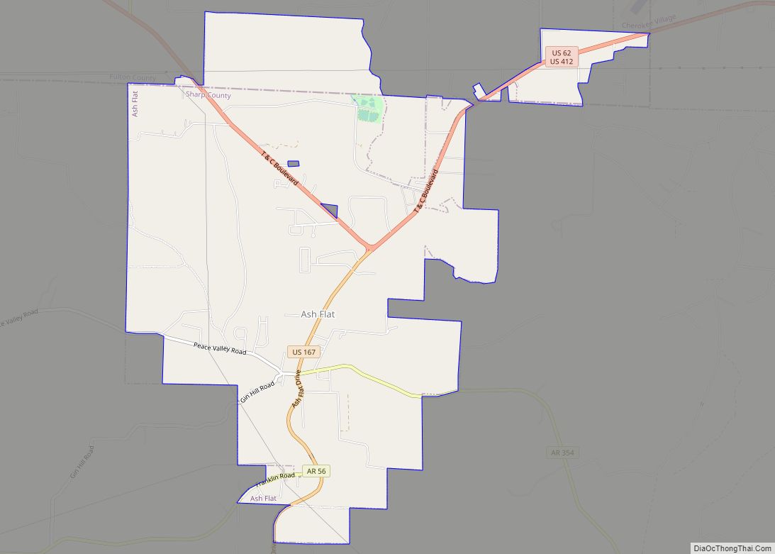
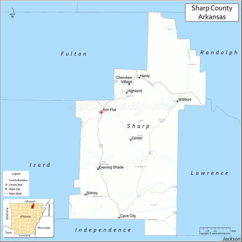
| Seat: | Ash Flat |
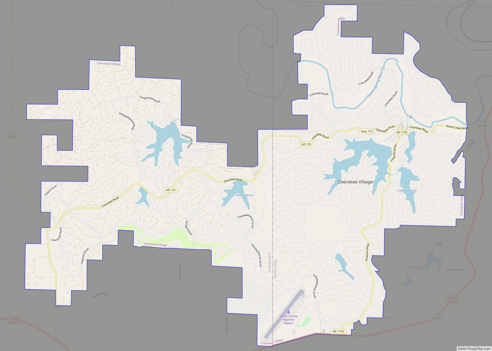
| Largest city: | Cherokee Village |
| Total Area: | 606 sq mi (1,570 km²) |
| Land Area: | 604 sq mi (1,560 km²) |
| Total Population: | 17,271 |
| Population Density: | 29/sq mi (11/km²) |
| Time zone: | UTC−6 (Central) |
| Summer Time Zone (DST): | UTC−5 (CDT) |
| Website: | sharpcounty.arkansas.gov |
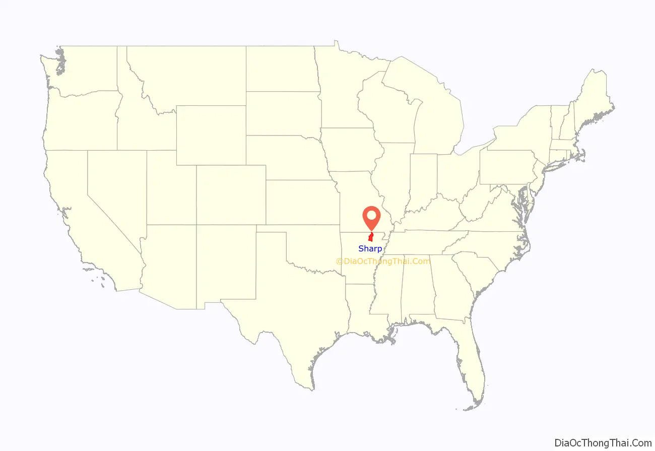
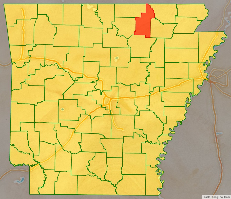
Sharp County location map. Where is Sharp County?
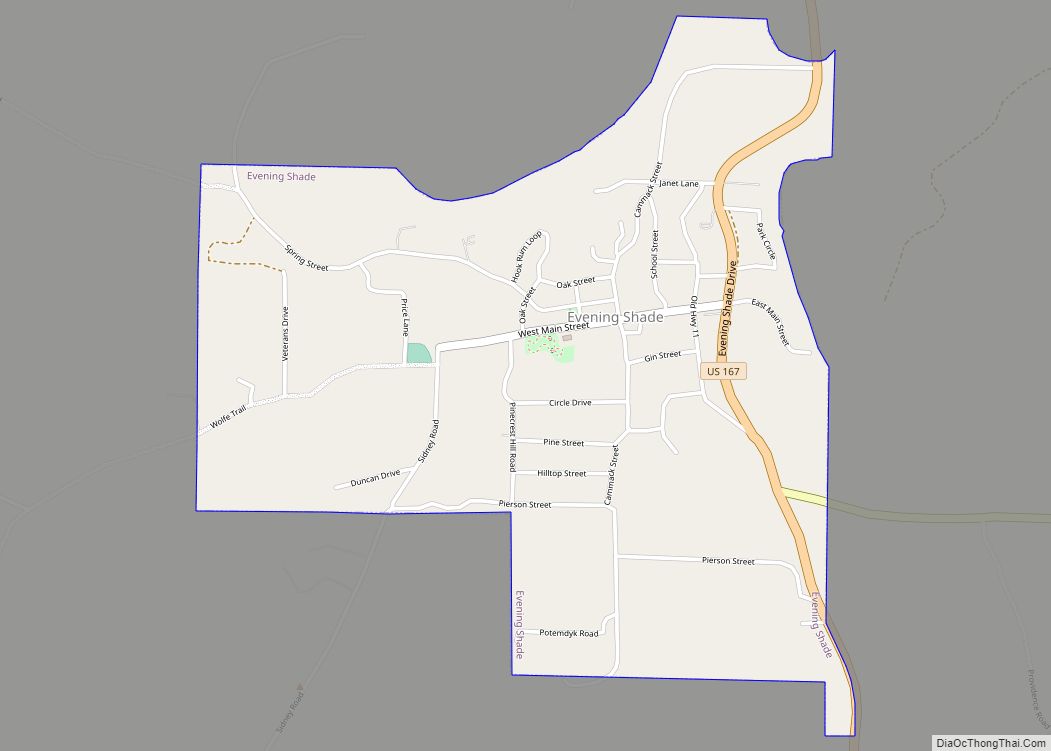
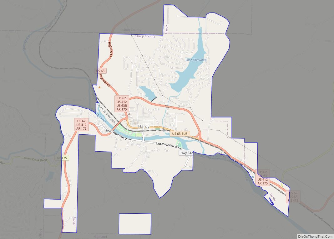
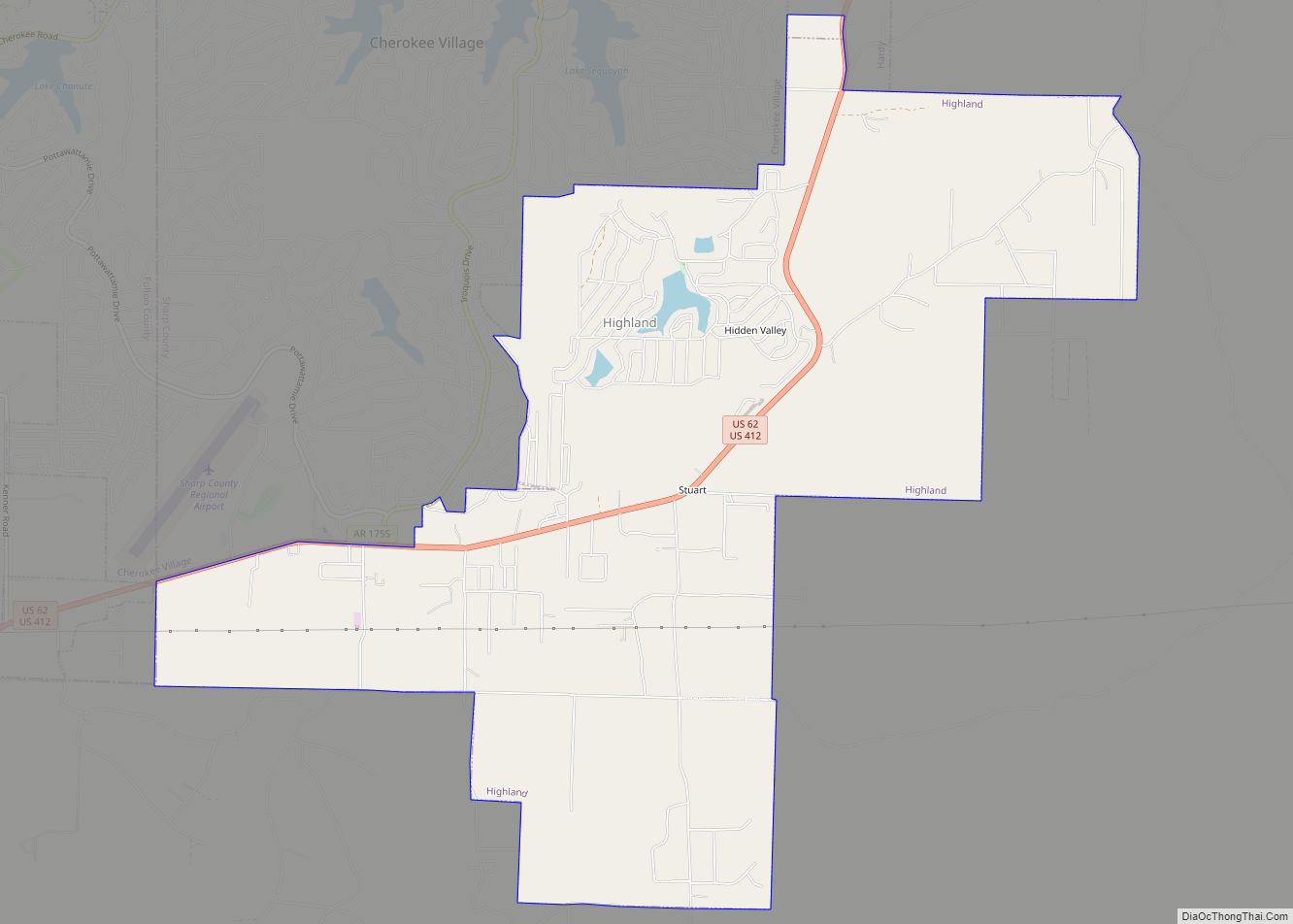
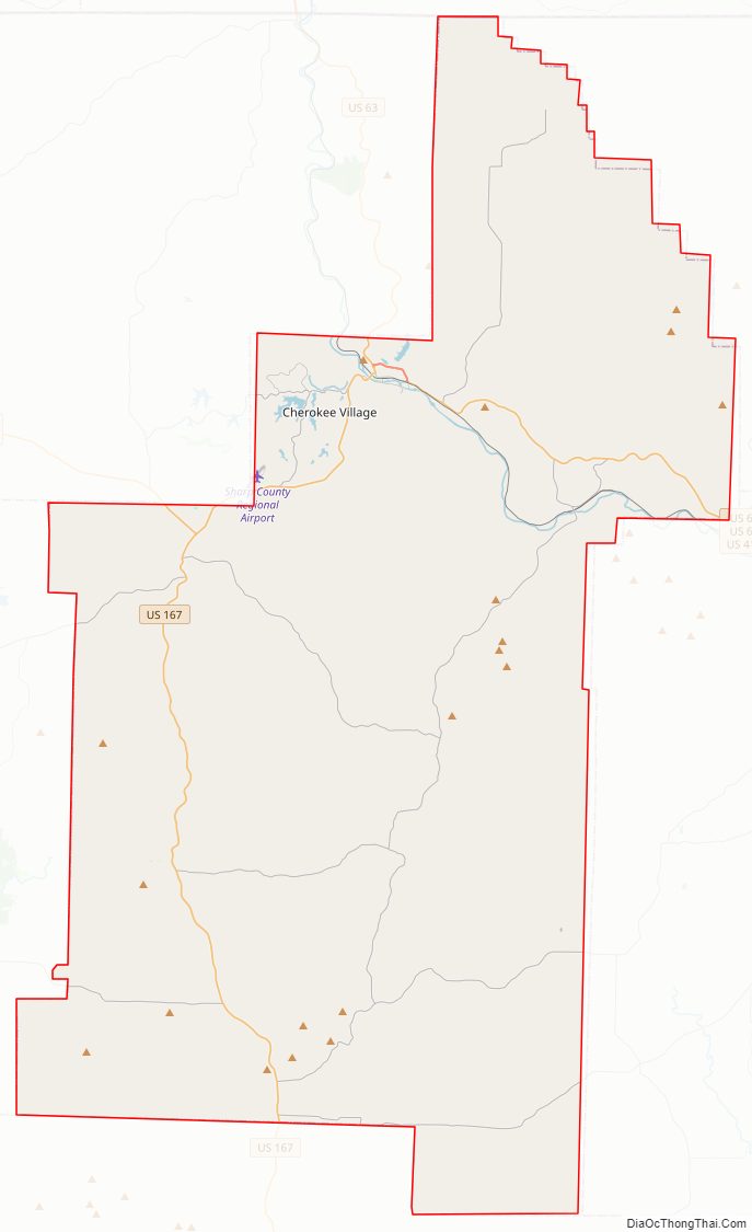
Sharp County Road Map
Geography
According to the U.S. Census Bureau, the county has a total area of 606 square miles (1,570 km), of which 604 square miles (1,560 km) is land and 2.0 square miles (5.2 km) (0.3%) is water.
Major highways
- U.S. Highway 62
- U.S. Highway 63
- U.S. Highway 167
- U.S. Highway 412
- Highway 56
- Highway 58
- Highway 175
Adjacent counties
- Oregon County, Missouri (north)
- Randolph County (northeast)
- Lawrence County (southeast)
- Independence County (south)
- Izard County (southwest)
- Fulton County (northwest)
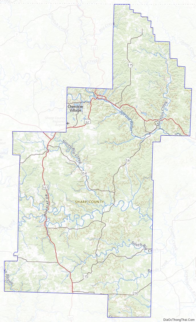
Sharp County Topographic Map
Sharp County Satellite Map
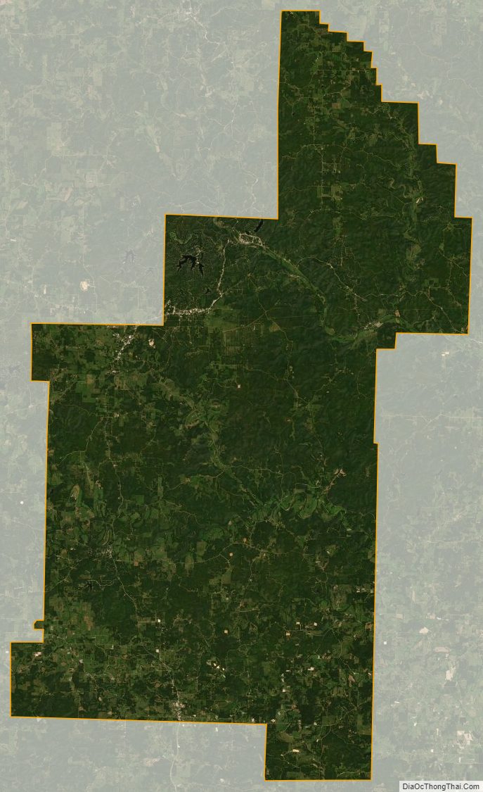
Sharp County Outline Map