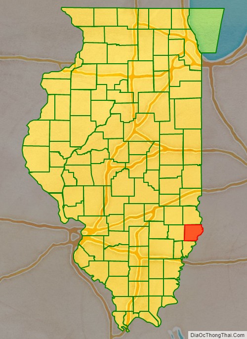
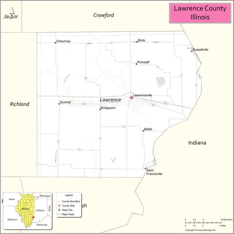
Lawrence County is the easternmost county in the U.S. state of Illinois. At the 2020 census, the population was 15,280. Its county seat is Lawrenceville.
| Name: | Lawrence County |
|---|---|
| FIPS code: | 17-101 |
| State: | Illinois |
| Founded: | 1821 |
| Named for: | James Lawrence |
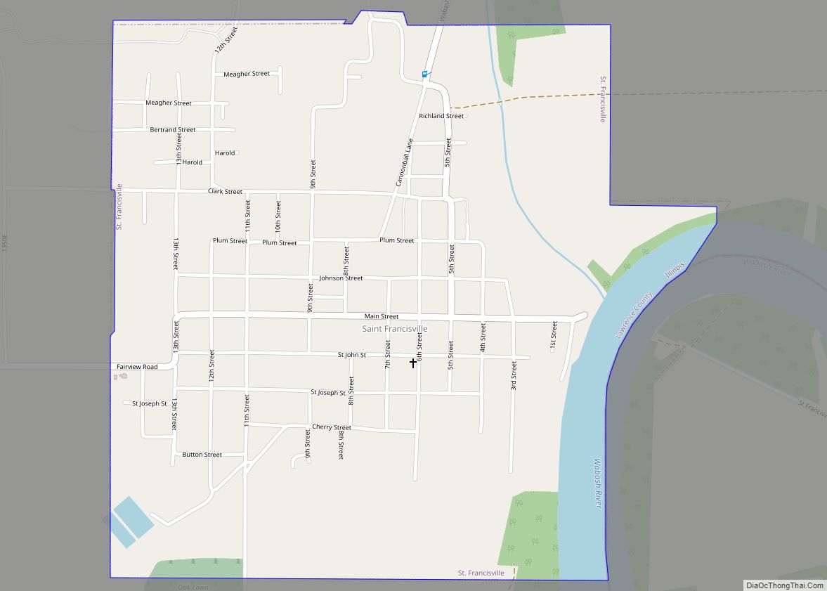
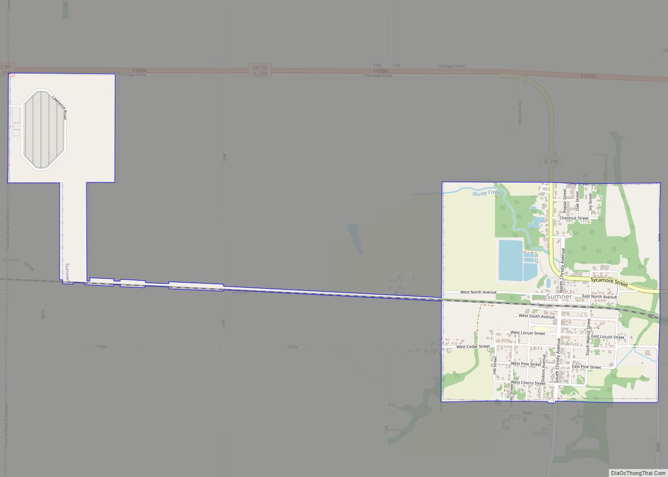
| Seat: | Lawrenceville |
| Largest city: | Lawrenceville |
| Total Area: | 374 sq mi (970 km²) |
| Land Area: | 372 sq mi (960 km²) |
| Total Population: | 15,280 |
| Population Density: | 41/sq mi (16/km²) |
| Time zone: | UTC−6 (Central) |
| Summer Time Zone (DST): | UTC−5 (CDT) |
| Website: | www.lawrencecountyillinois.com |
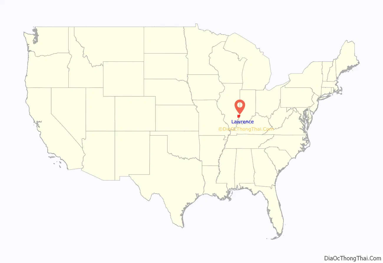
Lawrence County location map. Where is Lawrence County?
History
Lawrence County was formed in 1821 out of Crawford and Edwards counties. It was named for Capt. James Lawrence, who was killed in action during the War of 1812 while commanding the frigate USS Chesapeake. Mortally wounded, he gave his men the famous last order, “Don’t give up the ship.”
Lawrence County from its creation in 1821 to 1824
Lawrence County between 1824 and 1841
Lawrence County in 1841, when the creation of Richland County reduced Lawrence to its current size
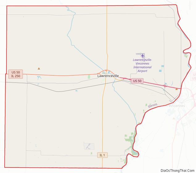
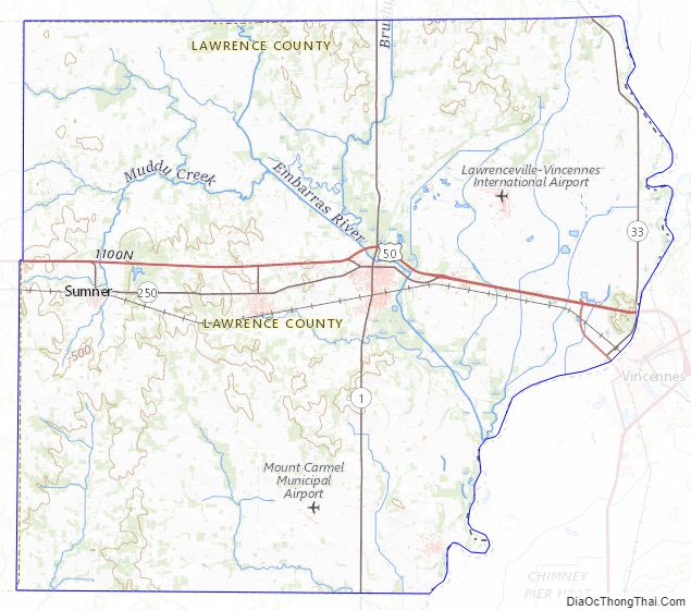
Lawrence County Road Map
Geography
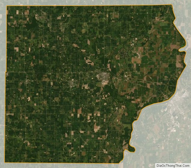
According to the U.S. Census Bureau, the county has a total area of 374 square miles (970 km), of which 372 square miles (960 km) is land and 2.0 square miles (5.2 km) (0.5%) is water.
Climate and weather
In recent years, average temperatures in the county seat of Lawrenceville have ranged from a low of 18 °F (−8 °C) in January to a high of 88 °F (31 °C) in July, although a record low of −26 °F (−32 °C) was recorded in January 1994 and a record high of 104 °F (40 °C) was recorded in June 1988. Average monthly precipitation ranged from 2.51 inches (64 mm) in February to 5.13 inches (130 mm) in May.
Major highways
- U.S. Route 50
- Illinois Route 1
- Illinois Route 33
- Illinois Route 250
Adjacent counties
- Crawford County – north
- Knox County, Indiana – east
- Wabash County – south
- Richland County – west
Lawrence County Topographic Map
Lawrence County Satellite Map
Lawrence County Outline Map