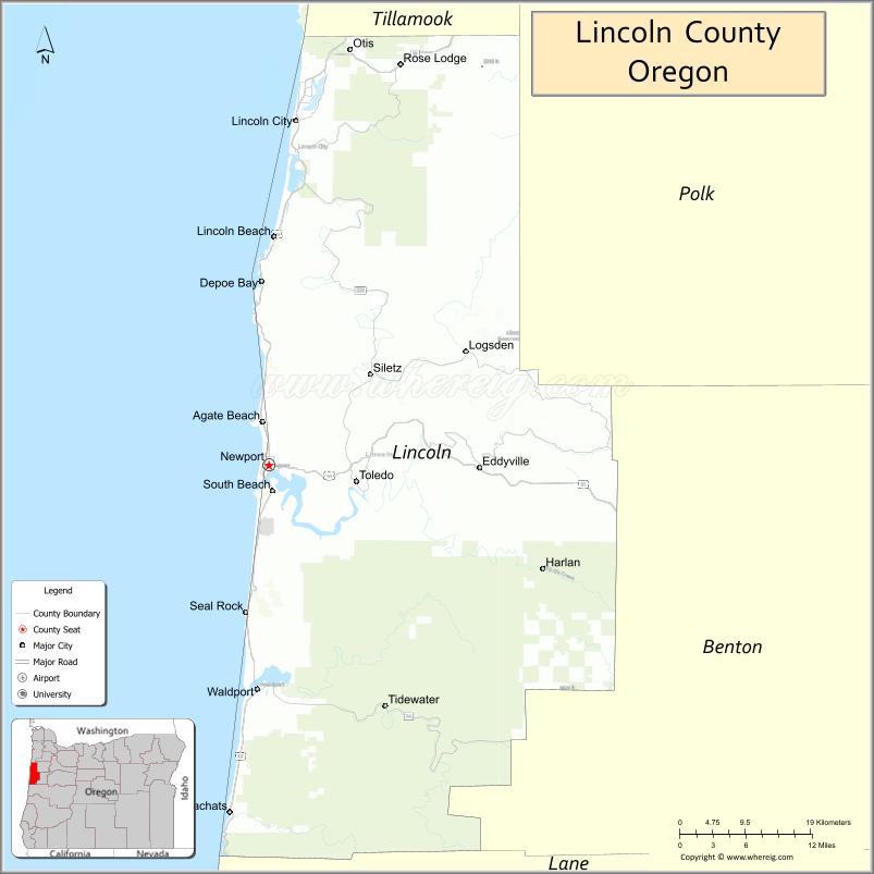
| Name: | Lincoln County |
|---|---|
| FIPS code: | 41-041 |
| State: | Oregon |
| Founded: | February 20, 1893 |
| Named for: | Abraham Lincoln |
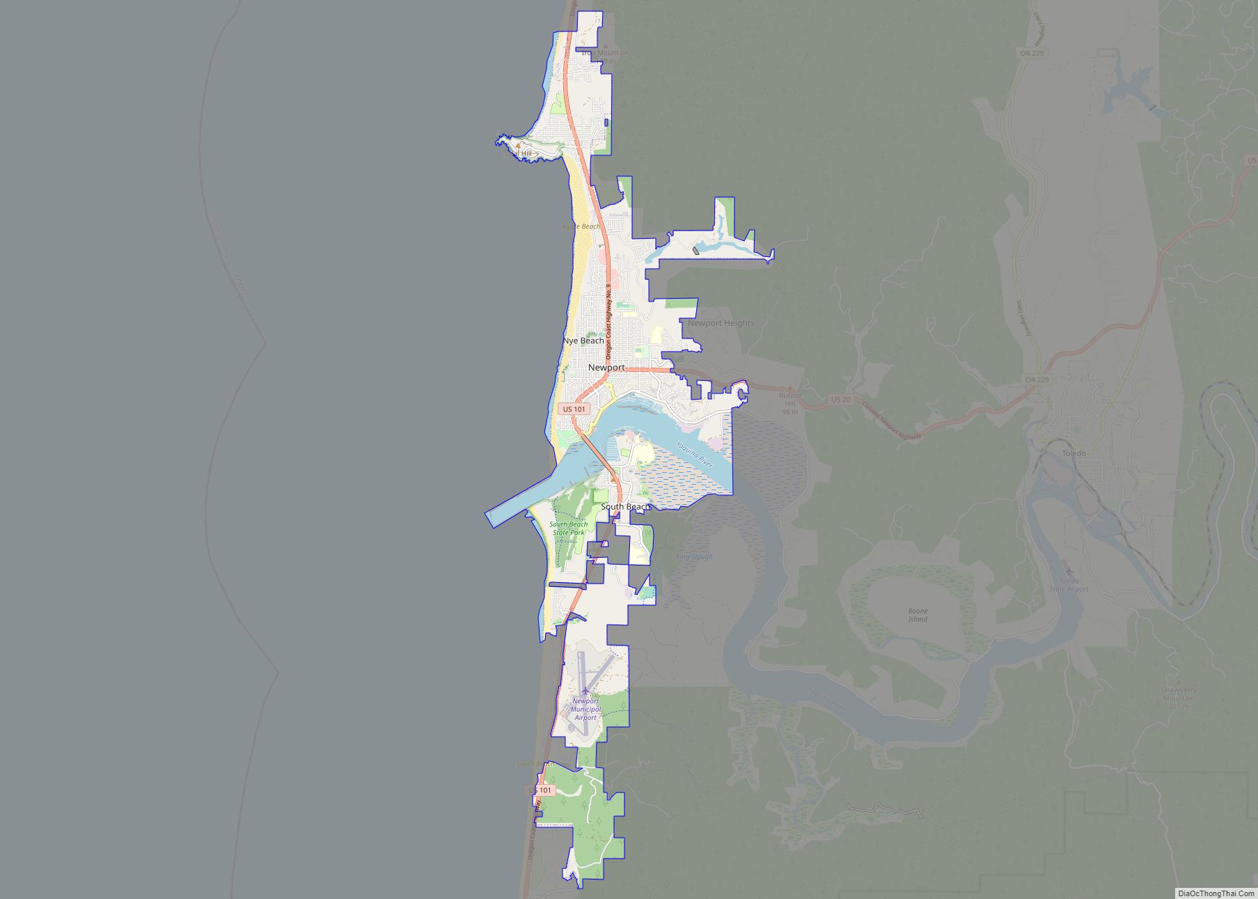
| Seat: | Newport |
| Largest city: | Newport |
| Total Area: | 1,194 sq mi (3,090 km²) |
| Land Area: | 980 sq mi (2,500 km²) |
| Total Population: | 50,395 |
| Population Density: | 47/sq mi (18/km²) |
| Time zone: | UTC−8 (Pacific) |
| Summer Time Zone (DST): | UTC−7 (PDT) |
| Website: | www.co.lincoln.or.us |
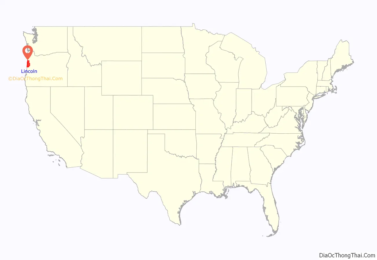
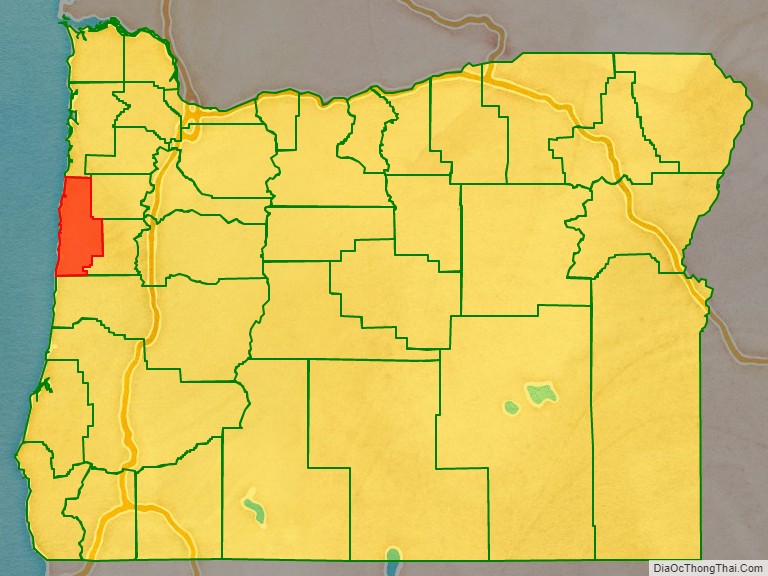
Lincoln County location map. Where is Lincoln County?
History
Lincoln County was created by the Oregon Legislative Assembly on February 20, 1893, from the western portion of Benton and Polk counties. The county adjusted its boundaries in 1923, 1925, 1927, 1931, and 1949.
At the time of the county’s creation, Toledo was picked as the temporary county seat. In 1896 it was chosen as the permanent county seat. Three elections were held to determine if the county seat should be moved from Toledo to Newport. Twice these votes failed—in 1928 and 1938. In 1954, however, the vote went in Newport’s favor. While Toledo has remained the industrial hub of Lincoln County, the city has never regained the position it once had.
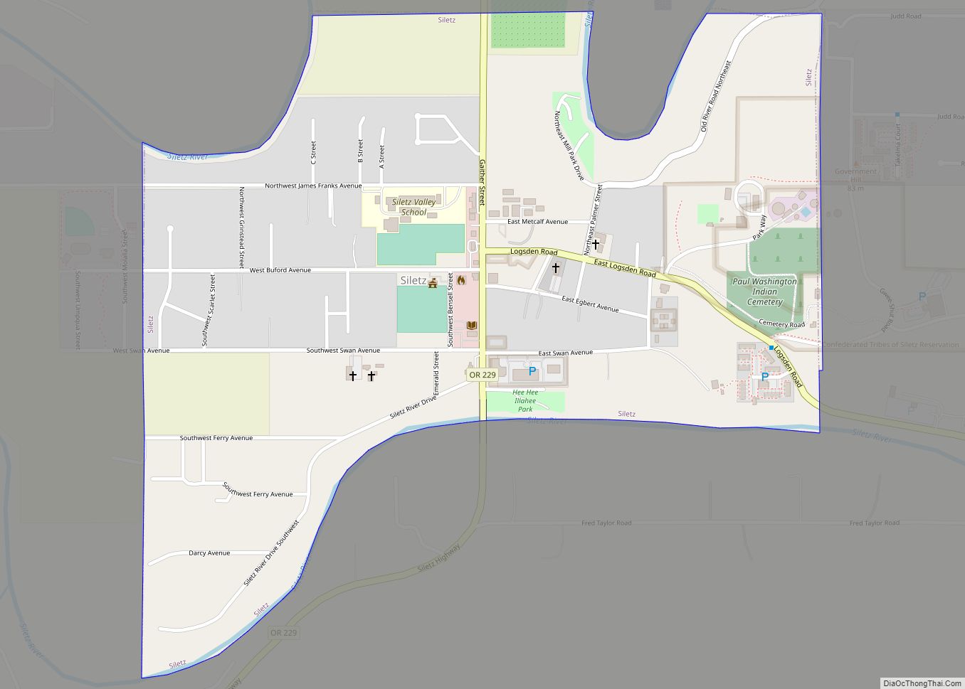
Like Tillamook County to the north, for the first decades of its existence Lincoln County was isolated from the rest of the state. This was solved with the construction of U.S. Route 101 (completed in 1925), and the Salmon River Highway (completed in 1930). In 1936, as some of many federally funded construction projects during the Great Depression, bridges were constructed across the bays at Waldport, Newport, and Siletz, eliminating the ferries needed to cross these bays.
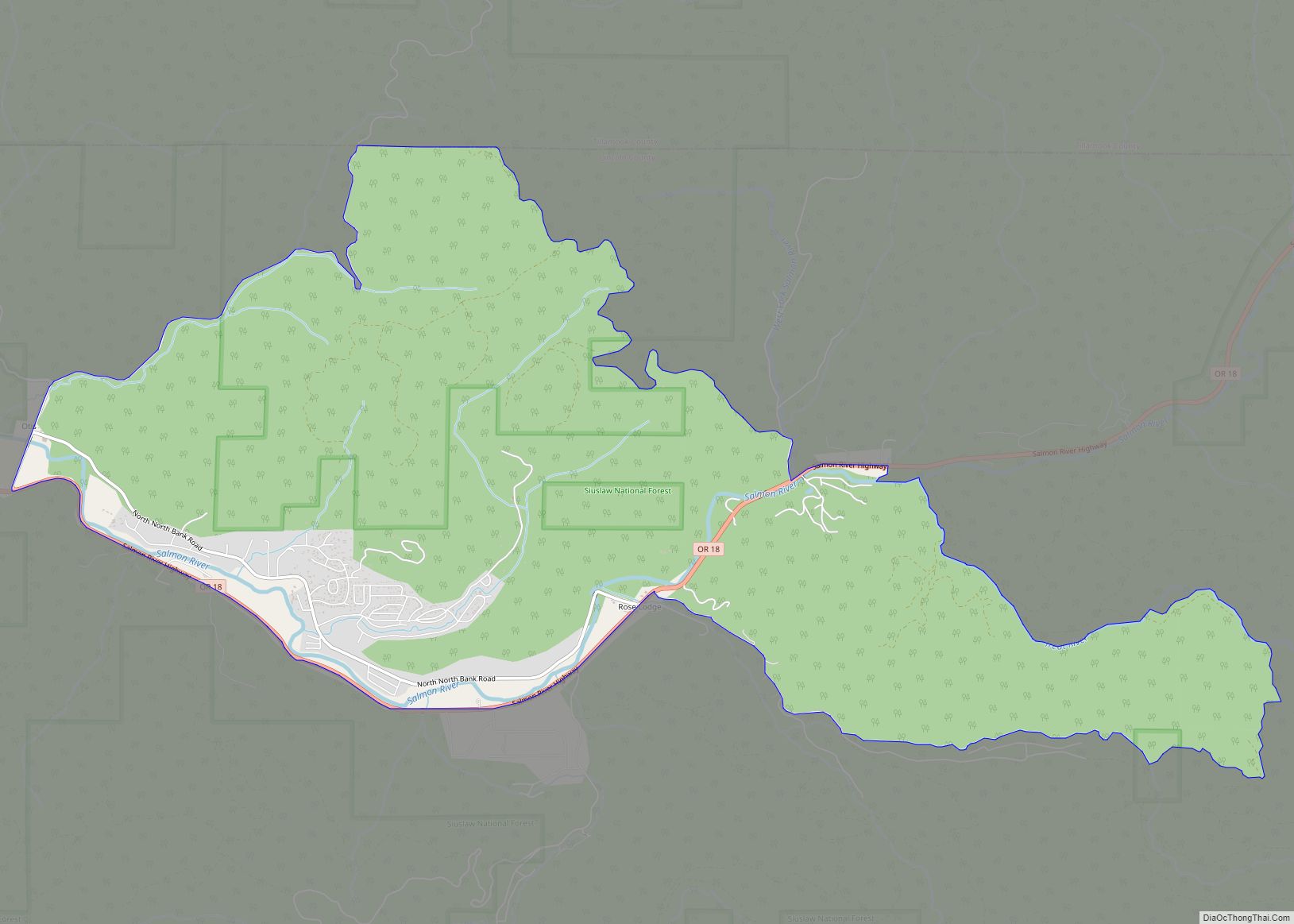
The northern part of Lincoln County includes the Siletz Reservation, created by treaty in 1855. The reservation was open to non-Indian settlement between 1895 and 1925. The Siletz’s tribal status was terminated by the federal government in 1954, but in 1977 it became the first Oregon tribe to have its tribal status reinstated. The current reservation totals 3,666 acres (14.84 km).
In 2020, during the COVID-19 pandemic, Lincoln County issued a face mask directive which exempted “people of color”. After county officials were overwhelmed with criticism, the exemption was rescinded.
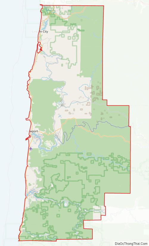
Lincoln County Road Map
Geography
According to the United States Census Bureau, the county has a total area of 1,194 square miles (3,090 km), of which 980 square miles (2,500 km) is land and 214 square miles (550 km) (18%) is water.
Adjacent counties
- Tillamook County (north)
- Polk County (east)
- Benton County (east)
- Lane County (south)
National protected areas
- Oregon Islands National Wildlife Refuge (part)
- Siletz Bay National Wildlife Refuge
- Siuslaw National Forest (part)
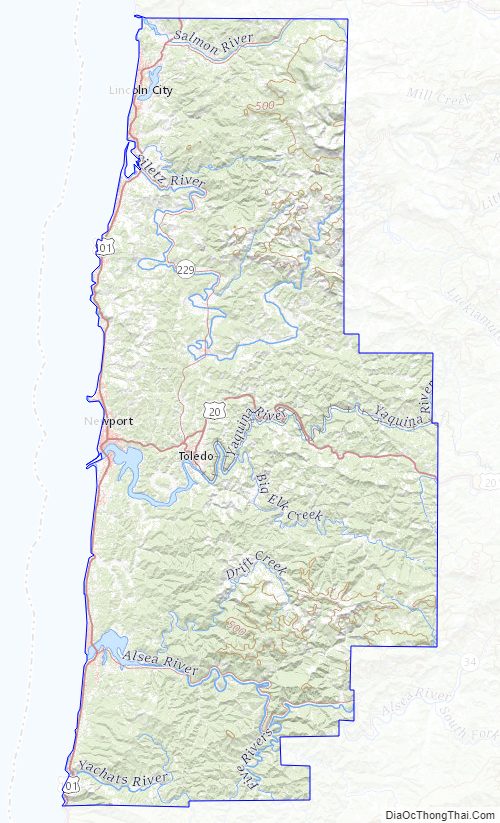
Lincoln County Topographic Map
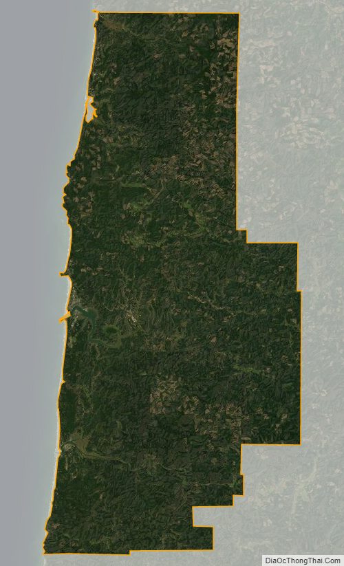
Lincoln County Satellite Map
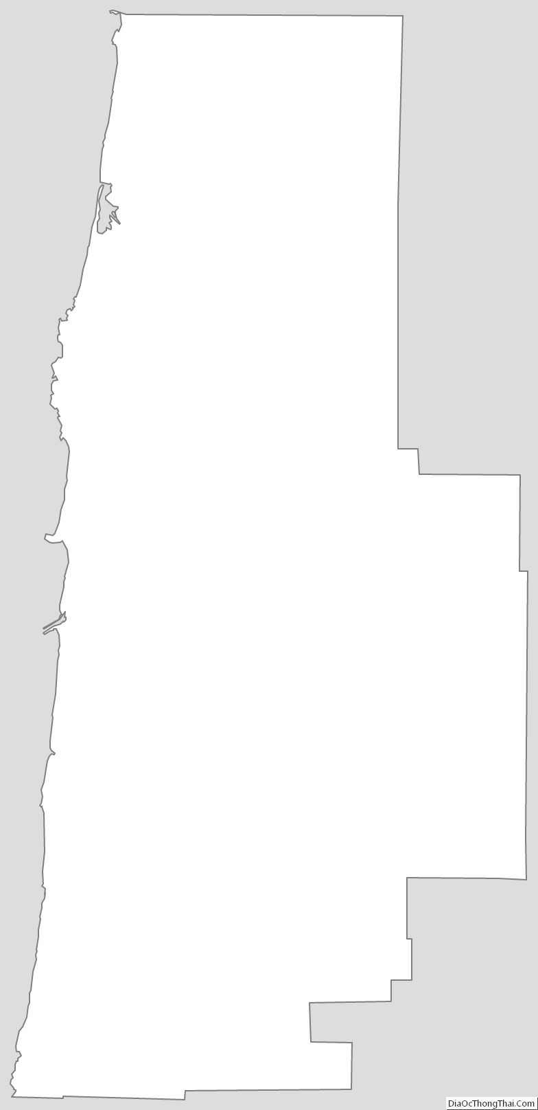
Lincoln County Outline Map