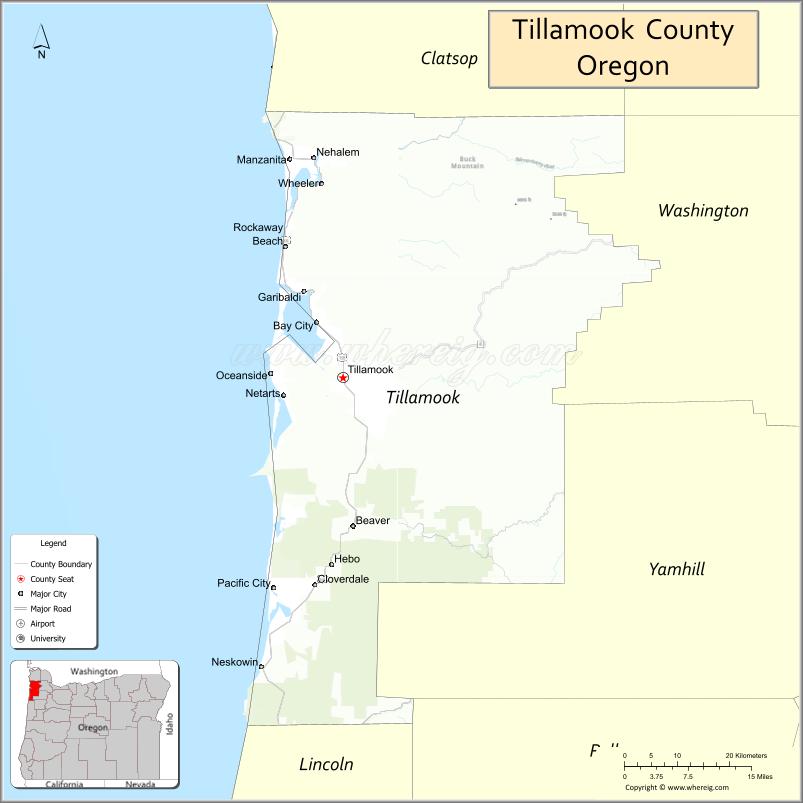
| Name: | Tillamook County |
|---|---|
| FIPS code: | 41-057 |
| State: | Oregon |
| Founded: | December 15, 1853 |
| Named for: | Tillamook people |
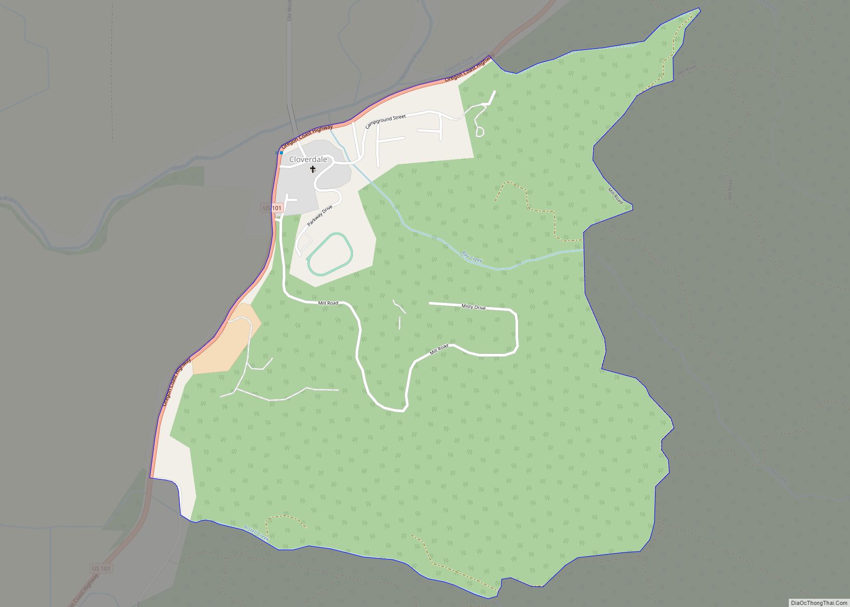
| Seat: | Tillamook |
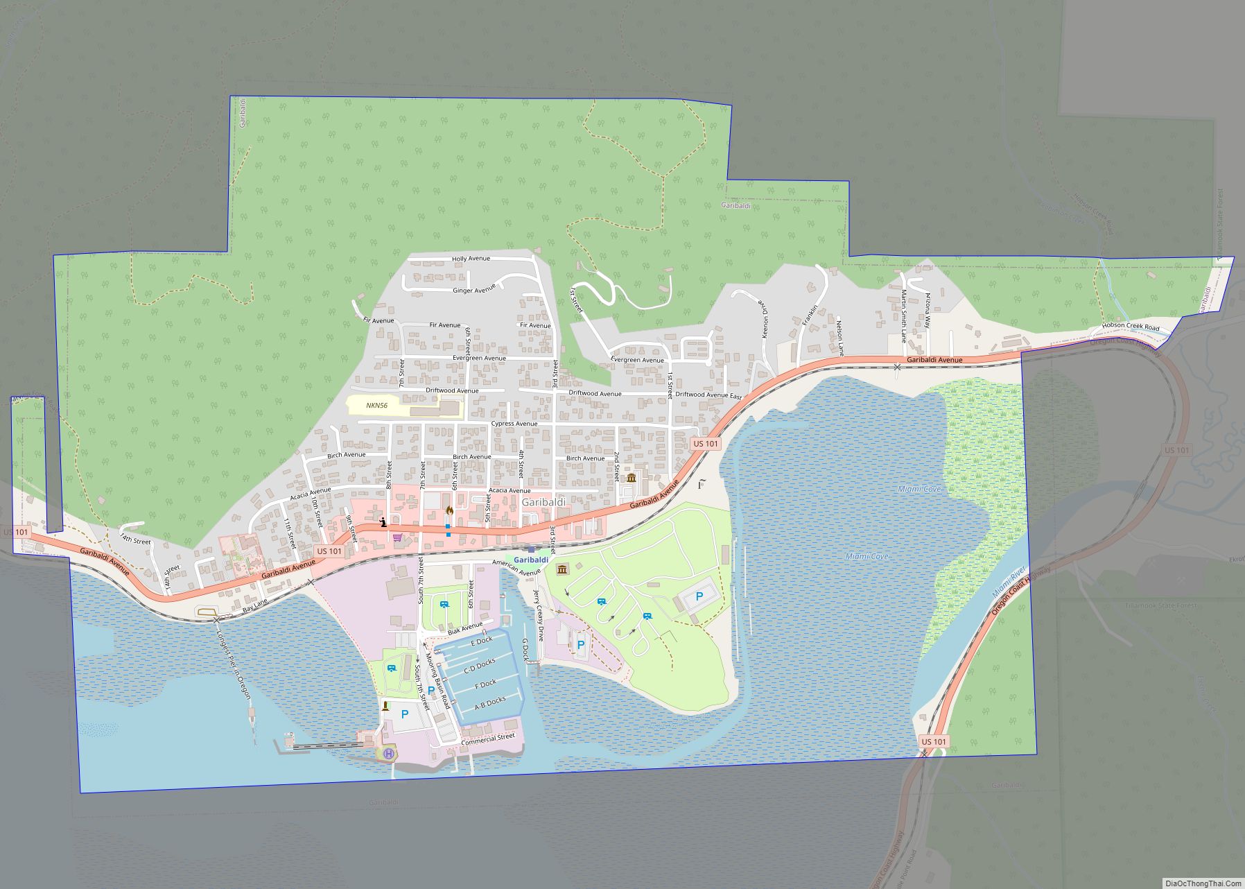
| Largest city: | Tillamook |
| Total Area: | 1,333 sq mi (3,450 km²) |
| Land Area: | 1,103 sq mi (2,860 km²) |
| Total Population: | 27,390 |
| Population Density: | 23/sq mi (9/km²) |
| Website: | www.co.tillamook.or.us |
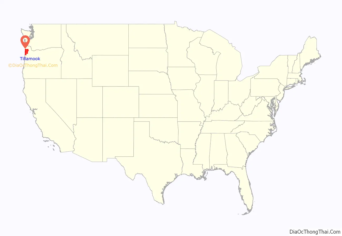
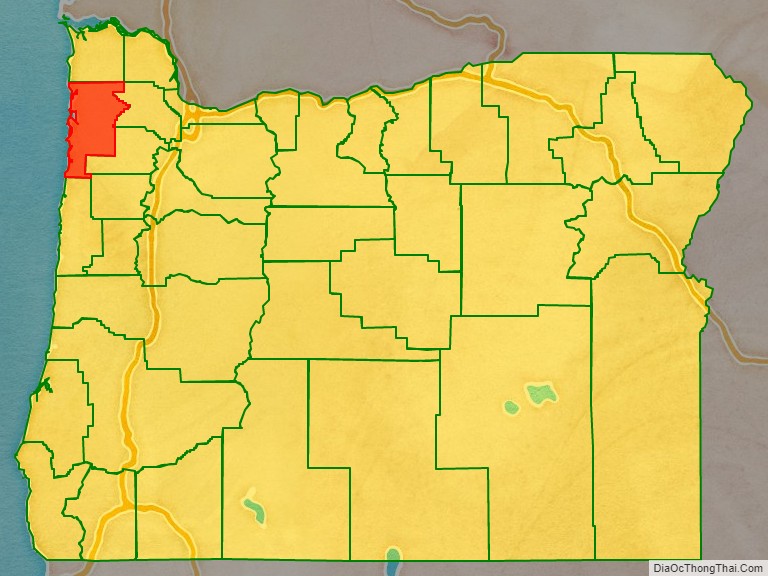
Tillamook County location map. Where is Tillamook County?
History
Tillamook County, the 12th county in Oregon to be organized, was established on December 15, 1853, when the Territorial Legislature approved an act to create the new county out of an area previously included in Clatsop, Yamhill and Polk counties. Boundary changes were enacted with Clatsop County (1855, 1870, and 1893), Lincoln County in 1893, Washington County (1893, 1898), and Yamhill County (1887).
The Coast Range behind Tillamook was the scene of a repeated series of forest fires called the Tillamook Burn between 1933 and 1951. In 1948, a state ballot approved the sale of bonds to buy the burned-over areas and have the state rehabilitate the lands. The state lands were renamed the Tillamook State Forest by governor Tom McCall on July 18, 1973. By the end of the 20th century, the replanted growth was considered mature enough to be commercially harvested.
The Tillamook airbase for blimps was commissioned on December 1, 1942, as U.S. Naval Air Station Tillamook. The two wooden hangars used to house these airships were decommissioned after World War II and deeded to Tillamook County. One of the hangars (Hangar B) is a national historic landmark and the location of the Tillamook Air Museum. The other hangar, (Hangar A) burned down in 1992.
The U.S. Mount Hebo Air Force Station was a Cold War air defense installation from 1956 to 1980. Located south of Tillamook, at the top of 3,154-foot (961 m) high Mount Hebo, Air Force radars operated by the 689th Radar Squadron and the 14th Missile Warning Squadron were essential parts of the nation’s integrated air defenses. The large radomes protecting the radars from adverse weather effects could be seen silhouetted against the sky from most of Tillamook County.
Development along U.S. Route 101 to the north of Tillamook during the last part of the 20th century has blocked part of the flood plain of the Wilson River, contributing to repeated winter flooding in the city. Until the late 1950s there was a dredge used by the city to keep the slough’s deeper.
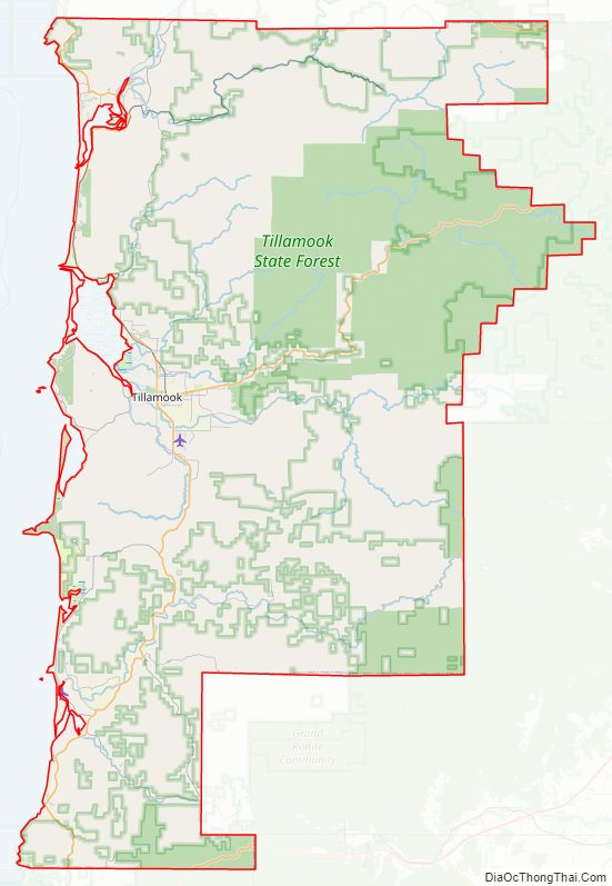
Tillamook County Road Map
Geography
According to the United States Census Bureau, the county has a total area of 1,333 square miles (3,450 km), of which 1,103 square miles (2,860 km) is land and 230 square miles (600 km) (17%) is water. At 3,706 feet (1130 m) in elevation, Rogers Peak is the highest point in the county and the highest in the Northern Oregon Coast Range.
Adjacent counties
- Clatsop County – north
- Washington County – east
- Yamhill County – east
- Polk County – southeast
- Lincoln County – south
National protected areas
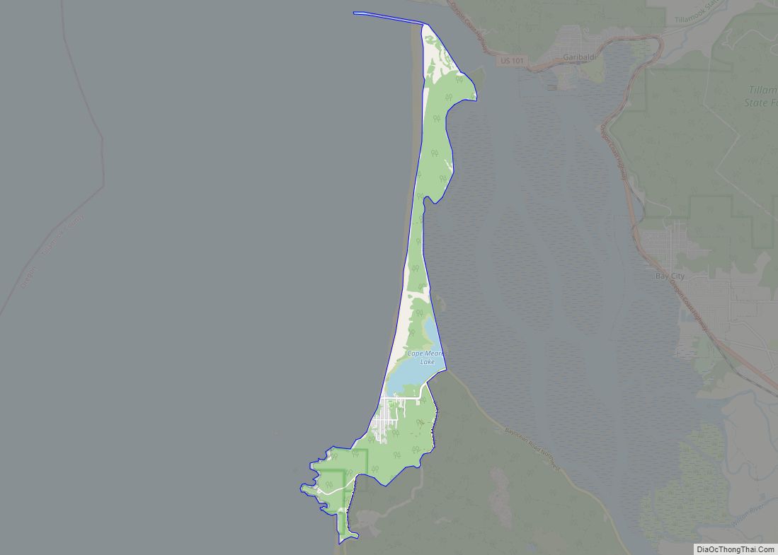
- Cape Meares National Wildlife Refuge
- Nestucca Bay National Wildlife Refuge
- Oregon Islands National Wildlife Refuge (part)
- Siuslaw National Forest (part)
- Three Arch Rocks National Wildlife Refuge
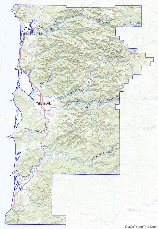
Tillamook County Topographic Map
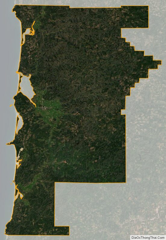
Tillamook County Satellite Map
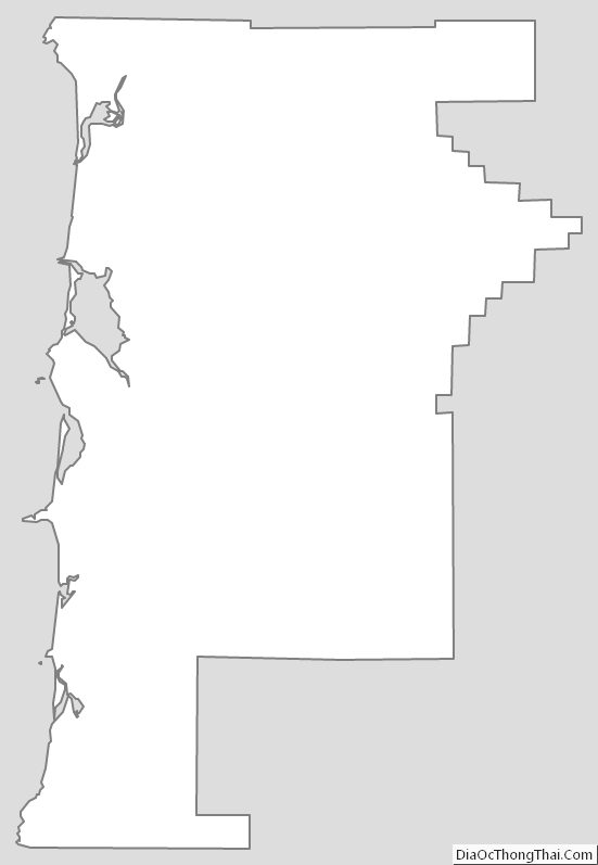
Tillamook County Outline Map