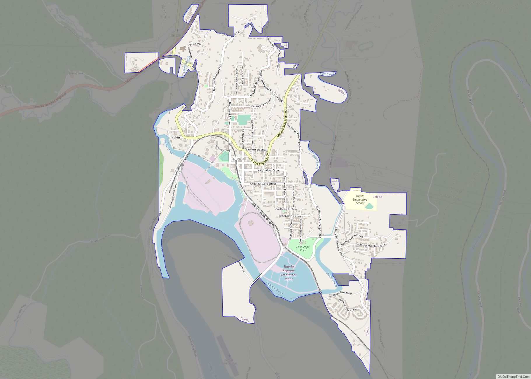
Toledo is a city located on the Yaquina River and along U.S. Route 20 in Lincoln County, in the U.S. state of Oregon. The population was 3,465 at the 2010 census. The city was a 2009 All-America City Award finalist.
| Name: | Toledo city |
|---|---|
| LSAD Code: | 25 |
| LSAD Description: | city (suffix) |
| State: | Oregon |
| County: | Lincoln County |
| Incorporated: | 1905 |
| Elevation: | 180 ft (50 m) |
| Total Area: | 2.39 sq mi (6.20 km²) |
| Land Area: | 2.16 sq mi (5.59 km²) |
| Water Area: | 0.23 sq mi (0.61 km²) |
| Total Population: | 3,546 |
| Population Density: | 1,643.19/sq mi (634.53/km²) |
| ZIP code: | 97391 |
| Area code: | 541 |
| FIPS code: | 4174000 |
| GNISfeature ID: | 2412076 |
| Website: | www.cityoftoledo.org |
Online Interactive Map
Click on ![]() to view map in "full screen" mode.
to view map in "full screen" mode.
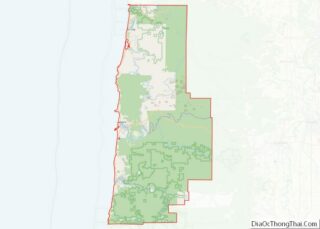
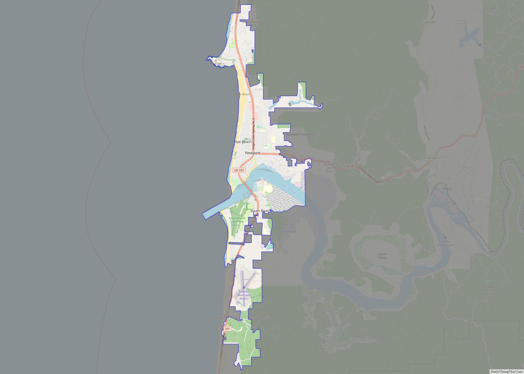
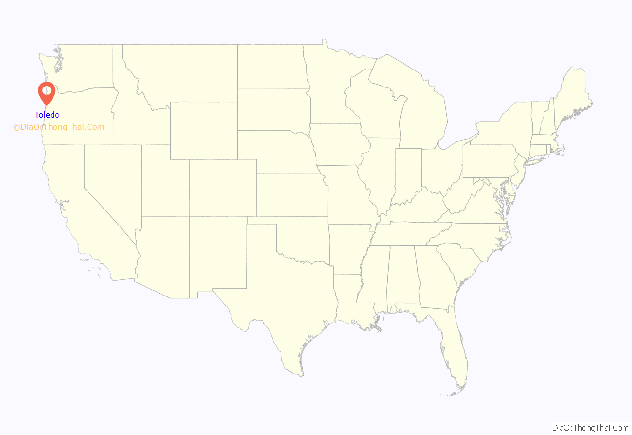
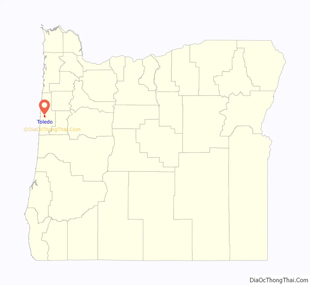
Toledo location map. Where is Toledo city?
History
European-American settlement in Toledo began in 1866, when John Graham, his son Joseph, and William Mackey, claimed land made available by the Homestead Act of 1862. The site was called “Graham’s Landing” until a post office was established two years later. Joseph D. Graham, John’s son, named the post office for Toledo, Ohio, because he was homesick. William Mackey was the first postmaster.
Toledo was made the county seat of the newly established Lincoln County in 1893. The city incorporated in 1893 and reincorporated in 1905. Charles Barton Crosno served as the first mayor. The county seat moved from Toledo to Newport in 1953.
In 1918, the Port of Toledo leased land to the Spruce Production Division for a sawmill to cut airplane frames for World War I. However, before production began, the war ended. C. D. Johnson and associates then bought the mill and related equipment, which by 1923 processed logs shipped to Toledo by rail. Georgia-Pacific acquired the operation in 1951 and turned it into a pulp mill.
In 1925, the Pacific Spruce Corporation decided to hire Japanese contract labor to sort lumber in its Toledo sawmill. Managers informed local employees that only the Japanese would work the graveyard shift. The sawmill employees did not object, but local businessmen opposed bringing Japanese workers into the community. Two days after the Japanese arrived, a mob forced a Japanese labor crew to leave town. A year later, Tamakichi Ogura filed a lawsuit in the United States District Court alleging that nine individuals had violated his civil rights by assaulting him, stealing his property, and forcibly removing him from the Toledo community. After a nine-day trial, the jury unanimously agreed with Ogura and awarded him $2,500 in damages plus court costs. A book was written about this called The Toledo Incident of 1925.
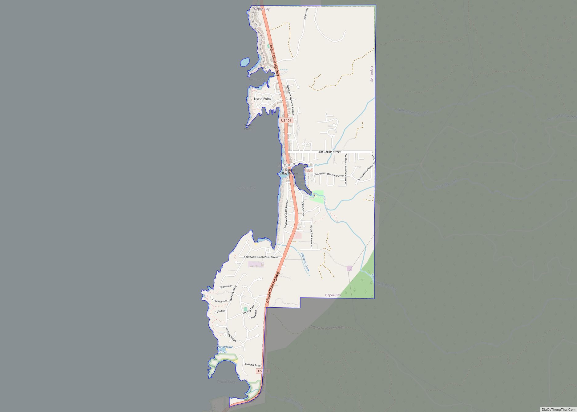
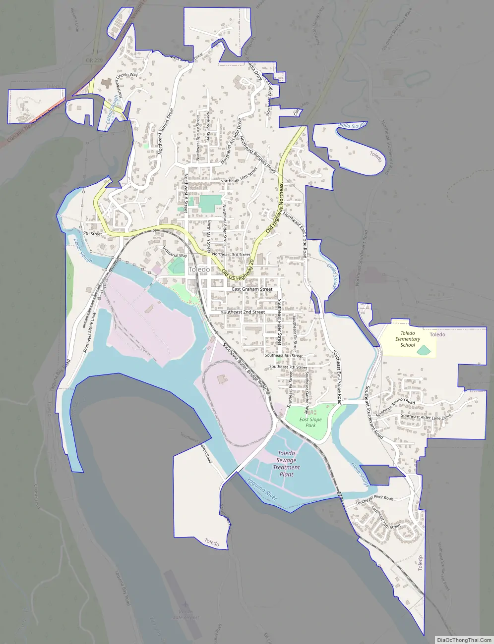
Toledo Road Map
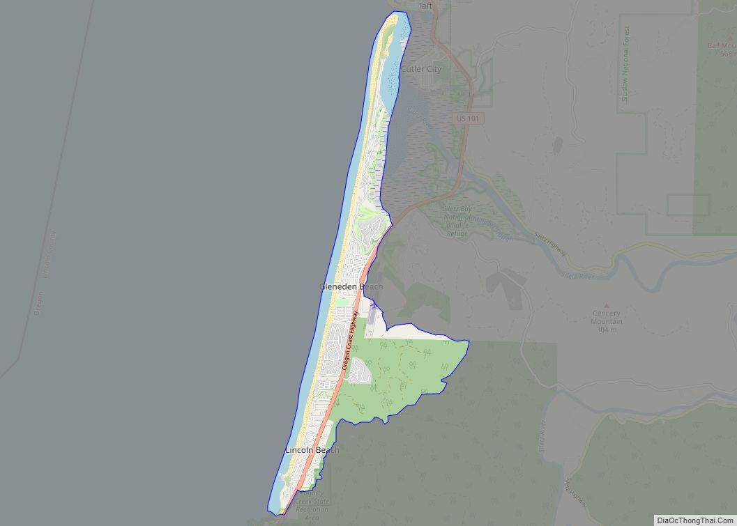
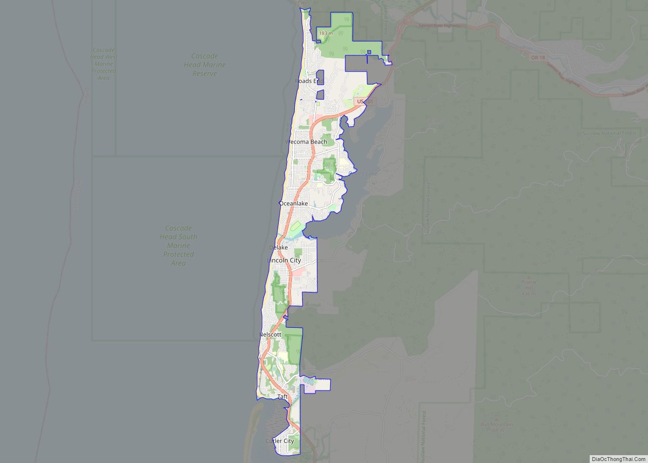
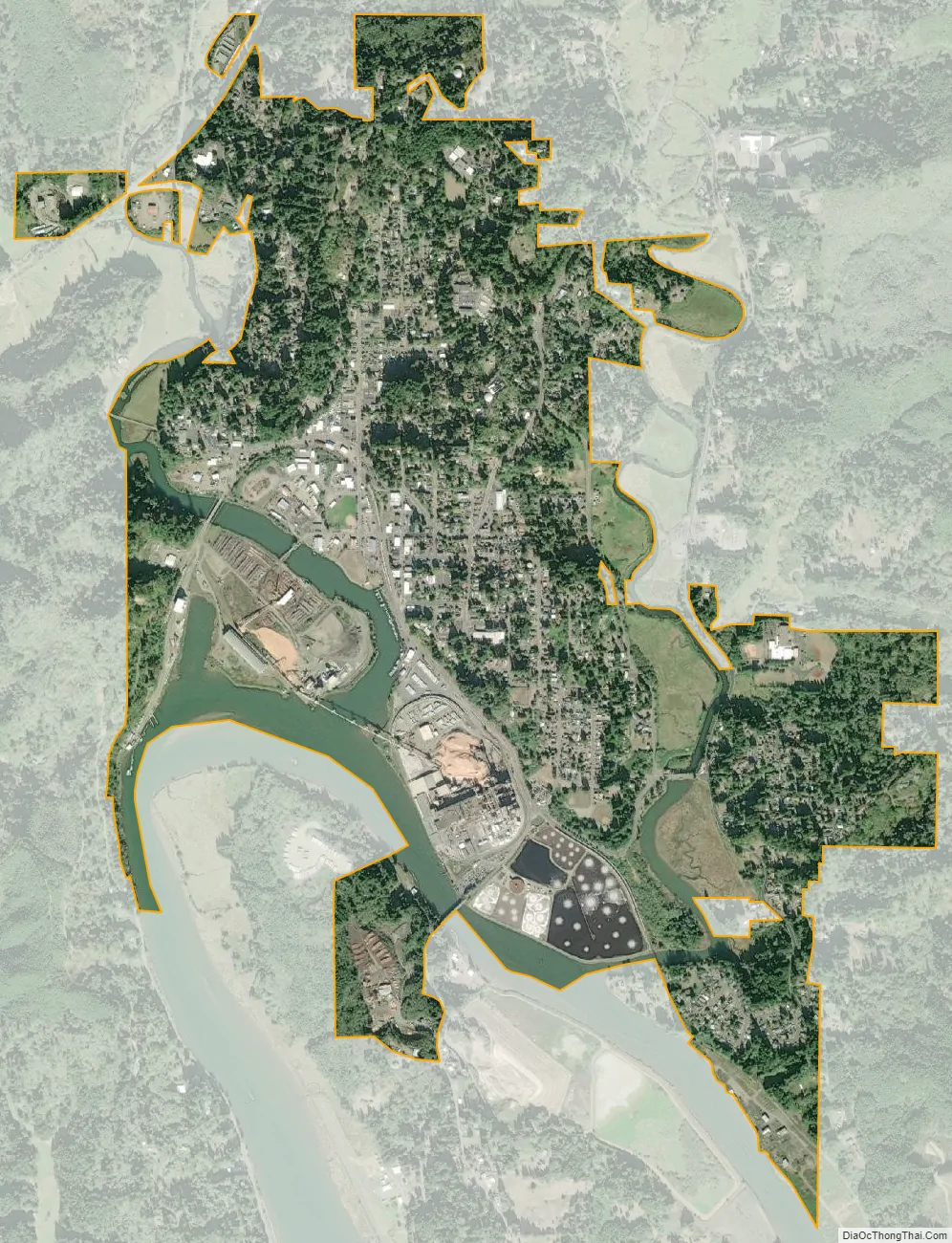
Toledo city Satellite Map
Geography
According to the United States Census Bureau, the city has a total area of 2.41 square miles (6.24 km), of which, 2.18 square miles (5.65 km) is land and 0.23 square miles (0.60 km) is water.
See also
Map of Oregon State and its subdivision: Map of other states:- Alabama
- Alaska
- Arizona
- Arkansas
- California
- Colorado
- Connecticut
- Delaware
- District of Columbia
- Florida
- Georgia
- Hawaii
- Idaho
- Illinois
- Indiana
- Iowa
- Kansas
- Kentucky
- Louisiana
- Maine
- Maryland
- Massachusetts
- Michigan
- Minnesota
- Mississippi
- Missouri
- Montana
- Nebraska
- Nevada
- New Hampshire
- New Jersey
- New Mexico
- New York
- North Carolina
- North Dakota
- Ohio
- Oklahoma
- Oregon
- Pennsylvania
- Rhode Island
- South Carolina
- South Dakota
- Tennessee
- Texas
- Utah
- Vermont
- Virginia
- Washington
- West Virginia
- Wisconsin
- Wyoming