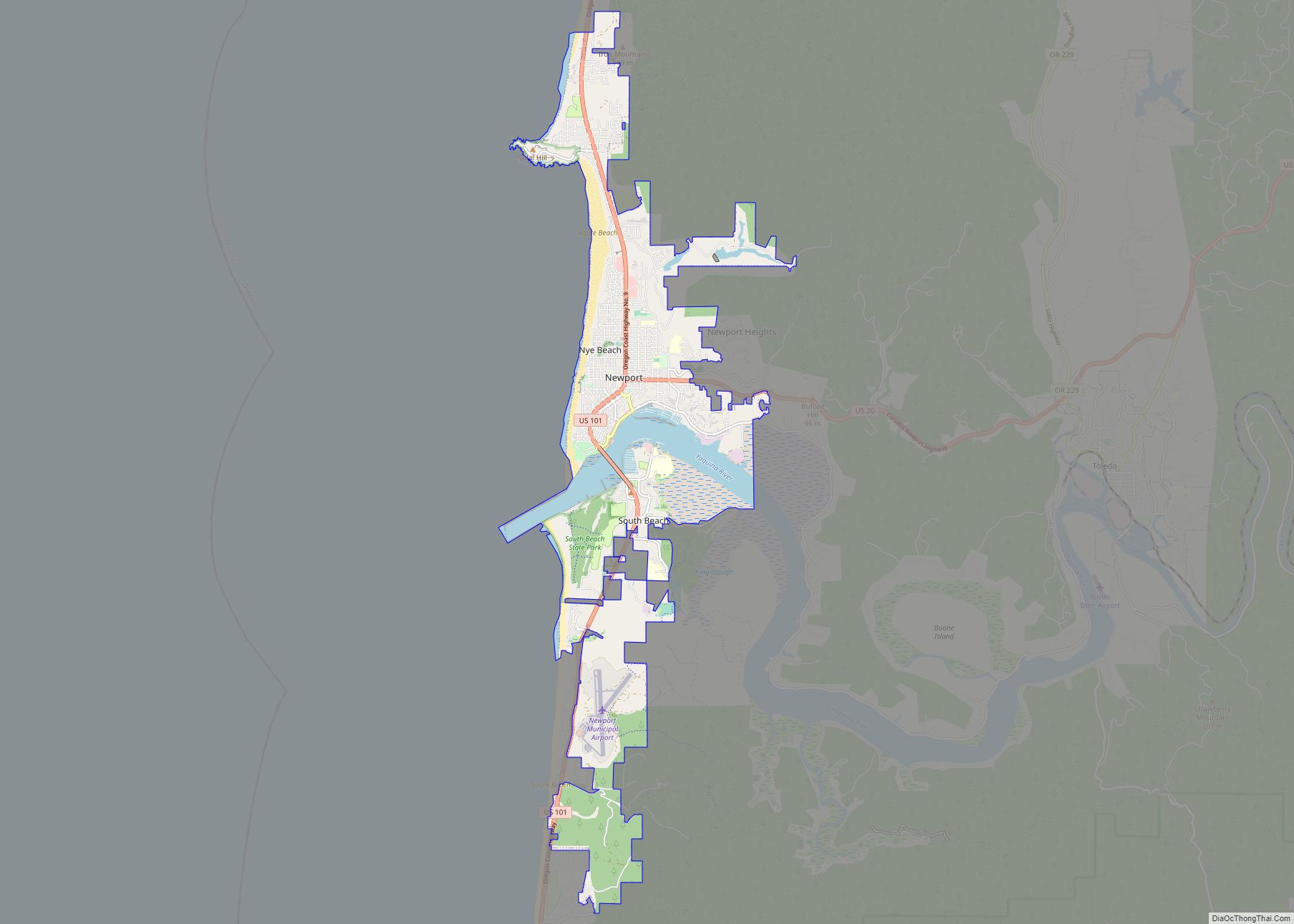
Newport is a city in Lincoln County, Oregon, United States. It was incorporated in 1882, though the name dates back to the establishment of a post office in 1868. Newport was named for Newport, Rhode Island. As of the 2010 census, the city had a total population of 9,989, an increase of nearly 5% over its 2000 population; as of 2019, it had an estimated population of 10,853.
The area was originally home to the Yacona tribe, whose history can be traced back at least 3000 years. White settlers began homesteading the area in 1864. The town was named by Sam Case, who also became the first postmaster.
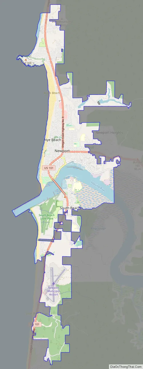
Newport has been the county seat of Lincoln County since 1952, when voters approved a measure to move the center of government from nearby Toledo to Newport. It is also home of the Oregon Coast Aquarium, Hatfield Marine Science Center, Nye Beach, Yaquina Head Light, Yaquina Bay Light, Pacific Maritime Heritage Center, and Rogue Ales. The city is the western terminus of U.S. Route 20, a cross country highway that originates in Boston and is the longest road in the United States.
| Name: | Newport city |
|---|---|
| LSAD Code: | 25 |
| LSAD Description: | city (suffix) |
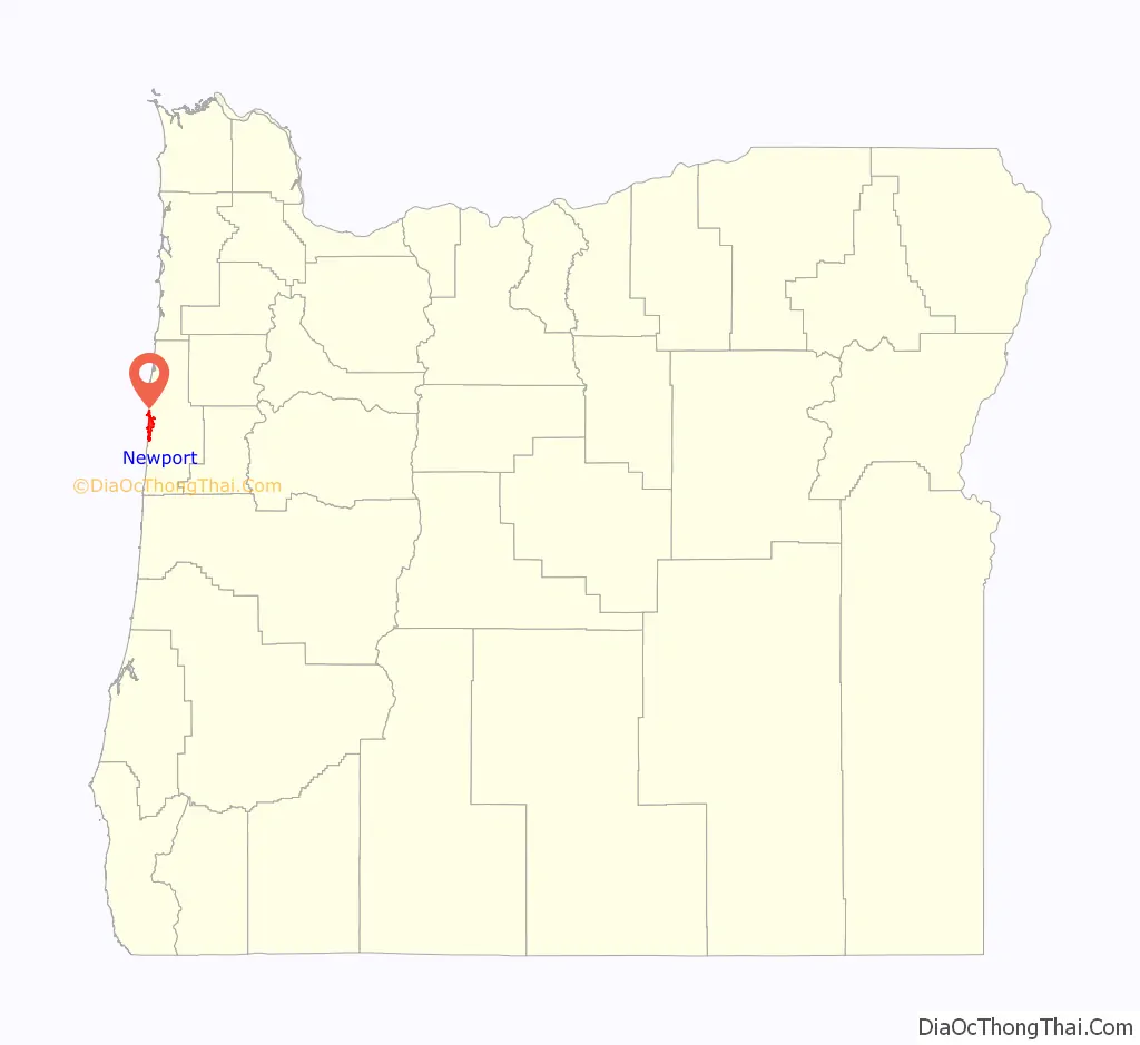
| State: | Oregon |
| County: | Lincoln County |
| Incorporated: | 1882 |
| Elevation: | 134 ft (40.8 m) |
| Total Area: | 11.72 sq mi (30.35 km²) |
| Land Area: | 9.98 sq mi (25.84 km²) |
| Water Area: | 1.74 sq mi (4.52 km²) |
| Total Population: | 10,256 |
| Population Density: | 1,028.07/sq mi (396.96/km²) |
| Area code: | 541 |
| FIPS code: | 4152450 |
| GNISfeature ID: | 1124669 |
Online Interactive Map
Click on ![]() to view map in "full screen" mode.
to view map in "full screen" mode.
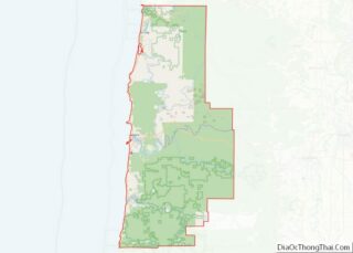
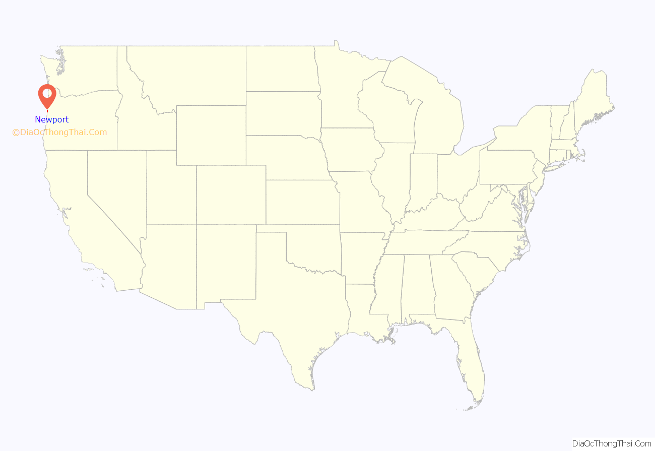
Newport location map. Where is Newport city?
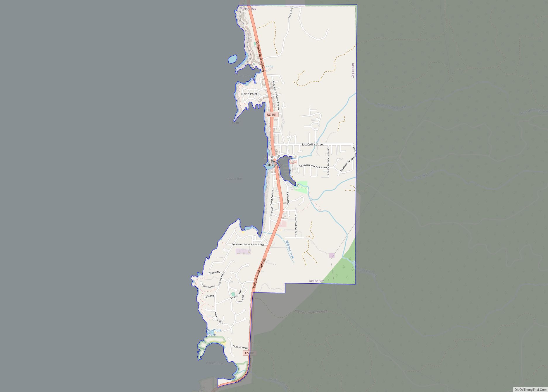
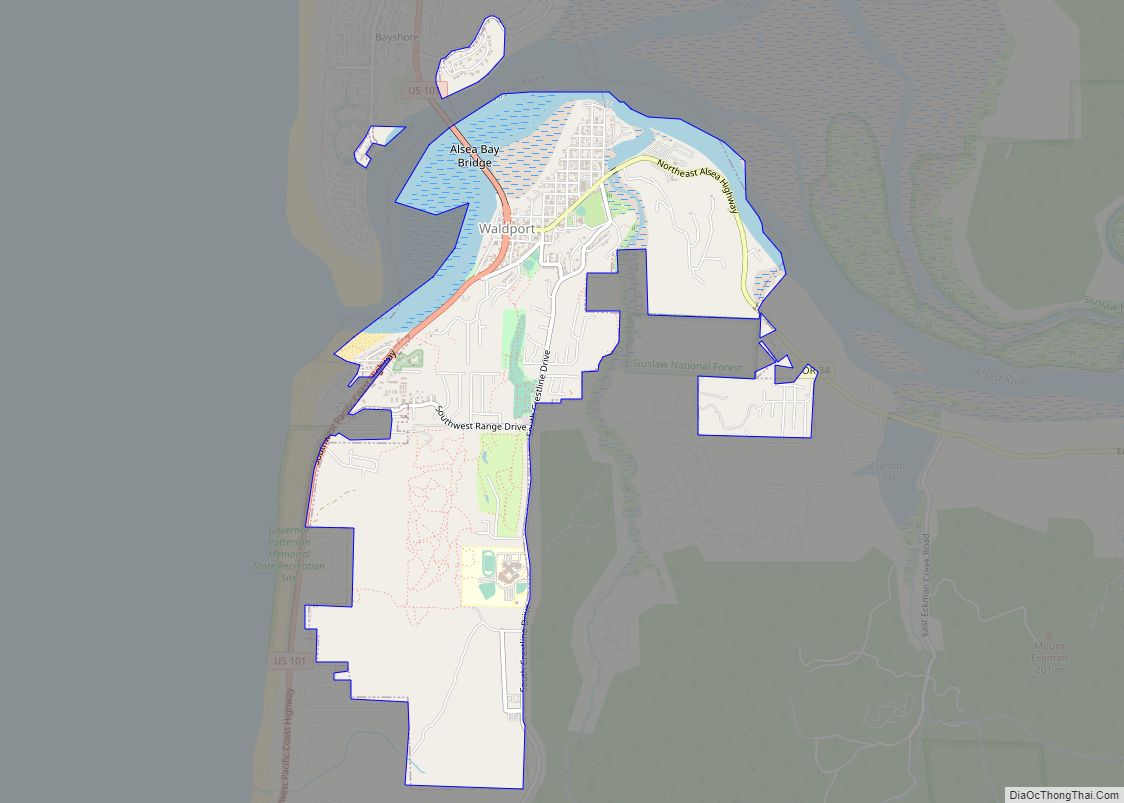
Newport Road Map
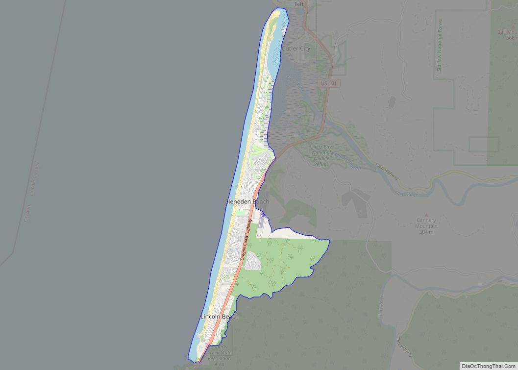
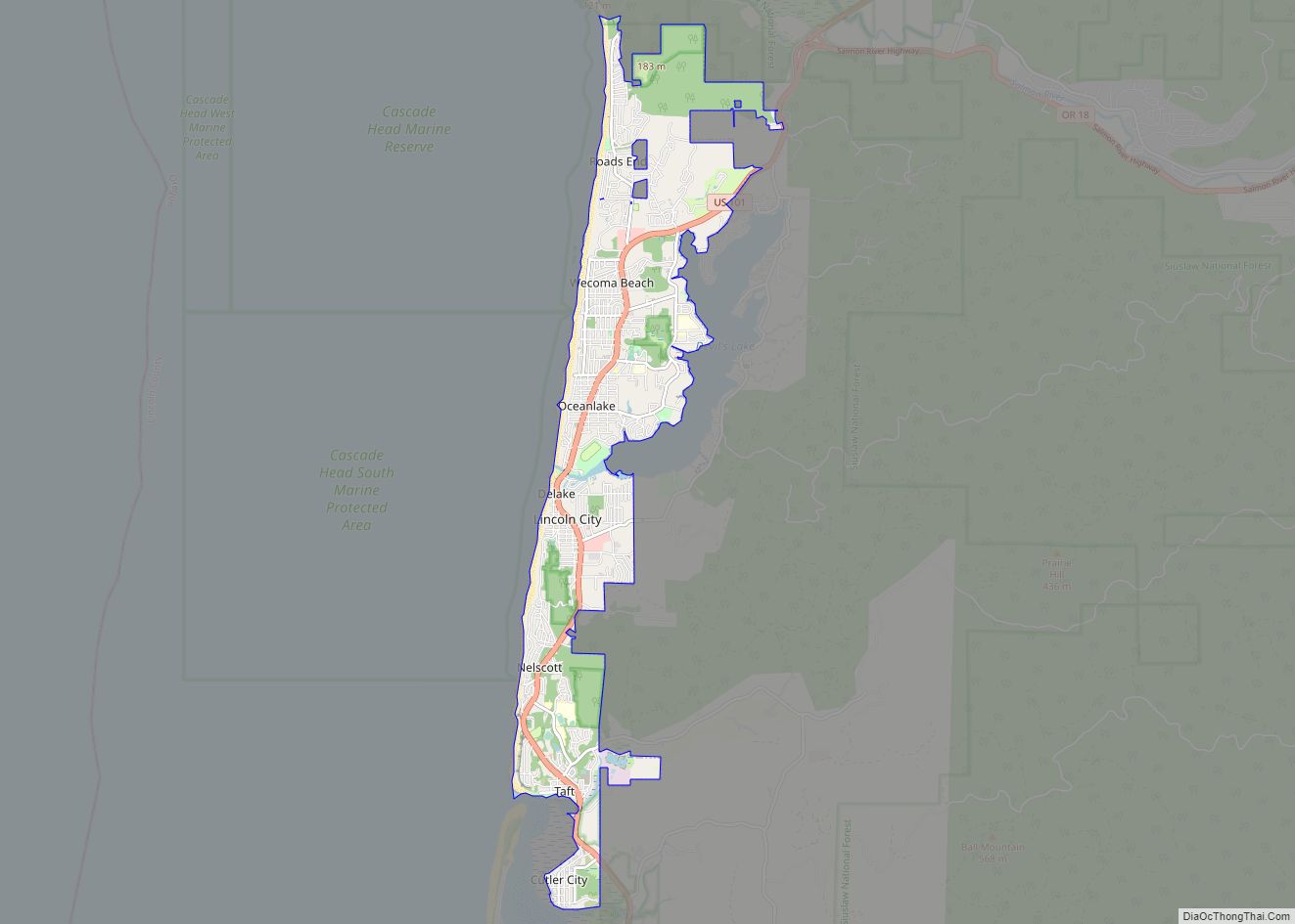
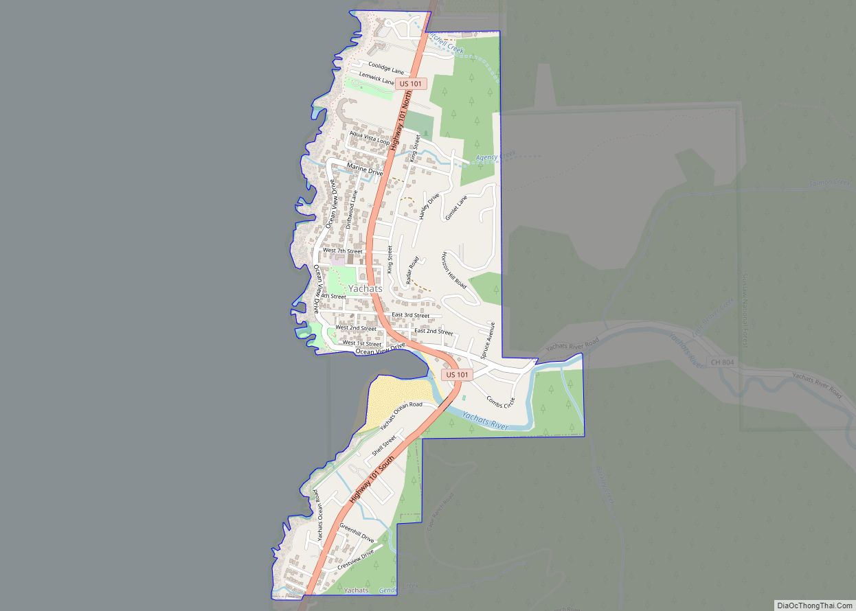
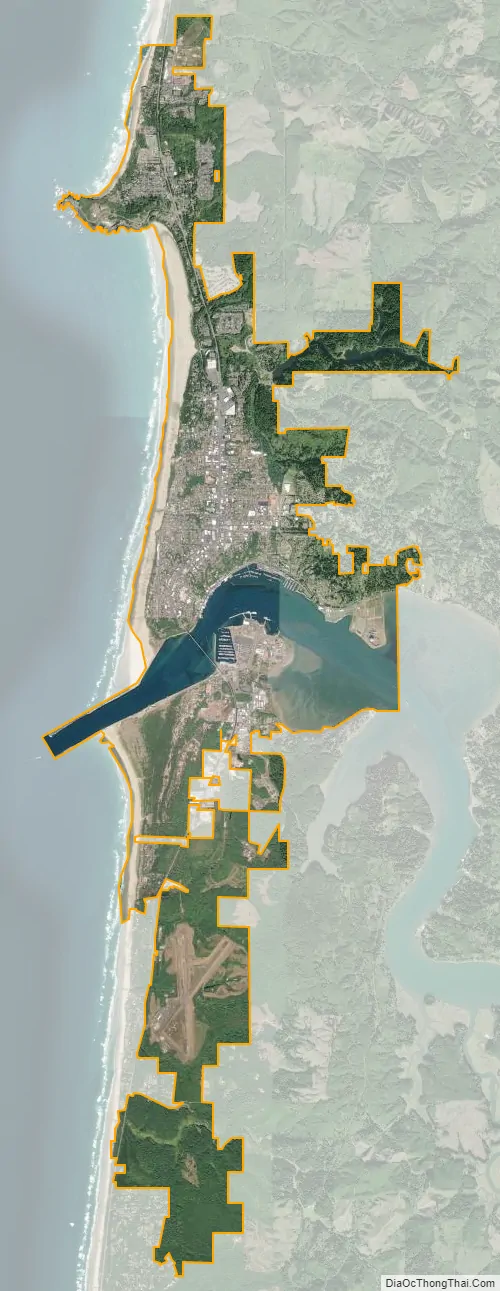
Newport city Satellite Map
Geography
According to the U.S. Census Bureau, the city has a total area of 10.59 square miles (27.43 km), of which 9.05 square miles (23.44 km) is land and 1.54 square miles (3.99 km) is water.
Climate
Newport has mild, wet weather throughout the year with the heaviest precipitation falling during the winter months. The city averages 0.4 afternoons annually with maximum temperatures equalling or exceeding 90 °F or 32.2 °C and 29 mornings with minimum temperatures of 32 °F or 0 °C or lower. Historic extreme temperatures have varied between 1 °F (−17.2 °C) in winter and 100 °F (37.8 °C) in summer.
The average annual precipitation between 1961 and 1990 was 70.99 inches (1,803 mm), with the wettest period being from July 1968 to June 1969 with 102.15 inches (2,594.6 mm) and the driest, like most of Oregon, from July 1976 to June 1977 with 38.94 inches (989.1 mm). There are an average of 187 days a year with precipitation equalling or exceeding 0.01 inches or 0.3 millimetres. Average annual snowfall is only 1.57 inches or 0.040 metres.
In October 1962, wind gusts at Newport reached 138 miles per hour (222 km/h) before the wind gauge stopped working. This occurred during the Columbus Day Windstorm, which the National Weather Service has named one of Oregon’s top 10 weather events of the 20th century.
Another top-10 event affecting Newport occurred in December 1964, when a rainstorm caused severe flooding in many parts of the state. The Weather Service rated the storm among the most severe in western Oregon since the 1870s. About 21 inches (530 mm) of rain fell on Newport. This was almost twice the normal amount expected in December and set a new record for the city.
Also in the Weather Bureau’s top-10 list for Oregon are the snowstorms of January 1950. Newport saw a total of about 6 inches or 0.15 metres fall during the month, four times its normal annual snowfall.
See also
Map of Oregon State and its subdivision: Map of other states:- Alabama
- Alaska
- Arizona
- Arkansas
- California
- Colorado
- Connecticut
- Delaware
- District of Columbia
- Florida
- Georgia
- Hawaii
- Idaho
- Illinois
- Indiana
- Iowa
- Kansas
- Kentucky
- Louisiana
- Maine
- Maryland
- Massachusetts
- Michigan
- Minnesota
- Mississippi
- Missouri
- Montana
- Nebraska
- Nevada
- New Hampshire
- New Jersey
- New Mexico
- New York
- North Carolina
- North Dakota
- Ohio
- Oklahoma
- Oregon
- Pennsylvania
- Rhode Island
- South Carolina
- South Dakota
- Tennessee
- Texas
- Utah
- Vermont
- Virginia
- Washington
- West Virginia
- Wisconsin
- Wyoming