| Name: | Livingston County |
|---|---|
| FIPS code: | 29-117 |
| State: | Missouri |
| Founded: | January 6, 1837 |
| Named for: | Edward Livingston |
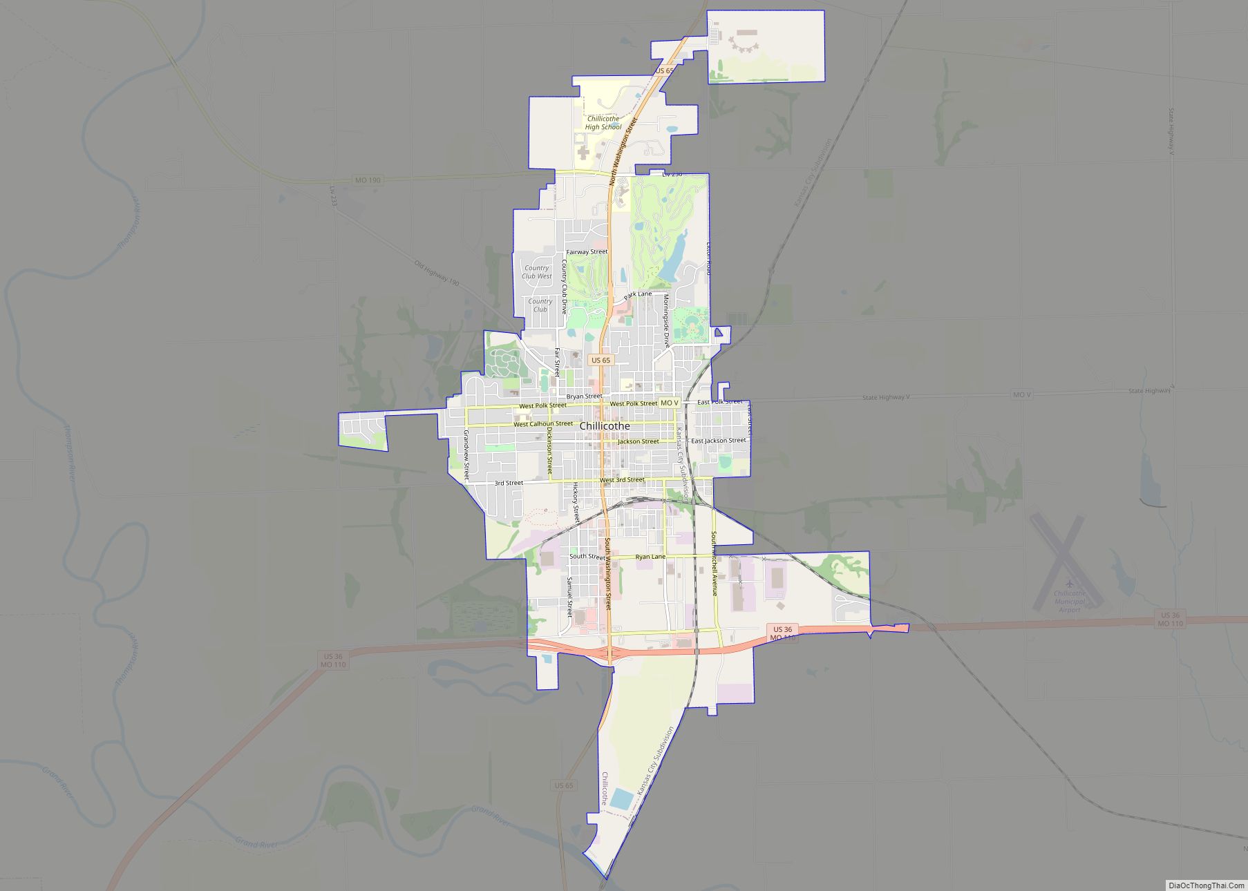
| Seat: | Chillicothe |
| Largest city: | Chillicothe |
| Total Area: | 539 sq mi (1,400 km²) |
| Land Area: | 532 sq mi (1,380 km²) |
| Total Population: | 14,557 |
| Population Density: | 27/sq mi (10/km²) |
| Time zone: | UTC−6 (Central) |
| Summer Time Zone (DST): | UTC−5 (CDT) |
| Website: | www.livingstoncountymo.com |
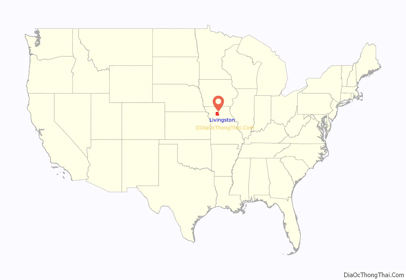
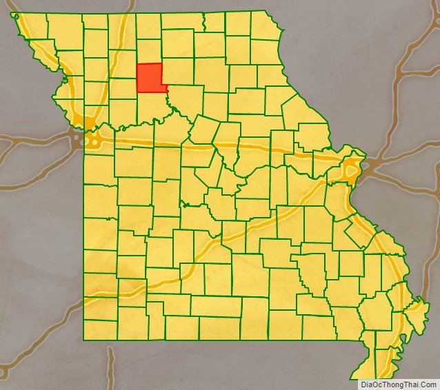
Livingston County location map. Where is Livingston County?
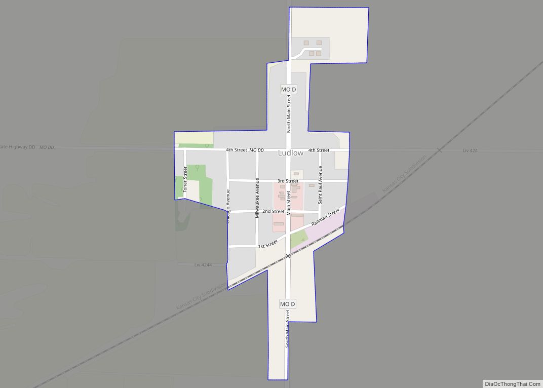
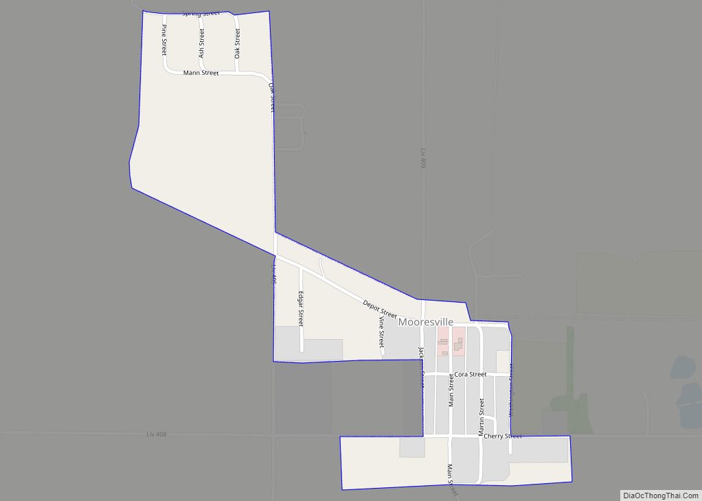
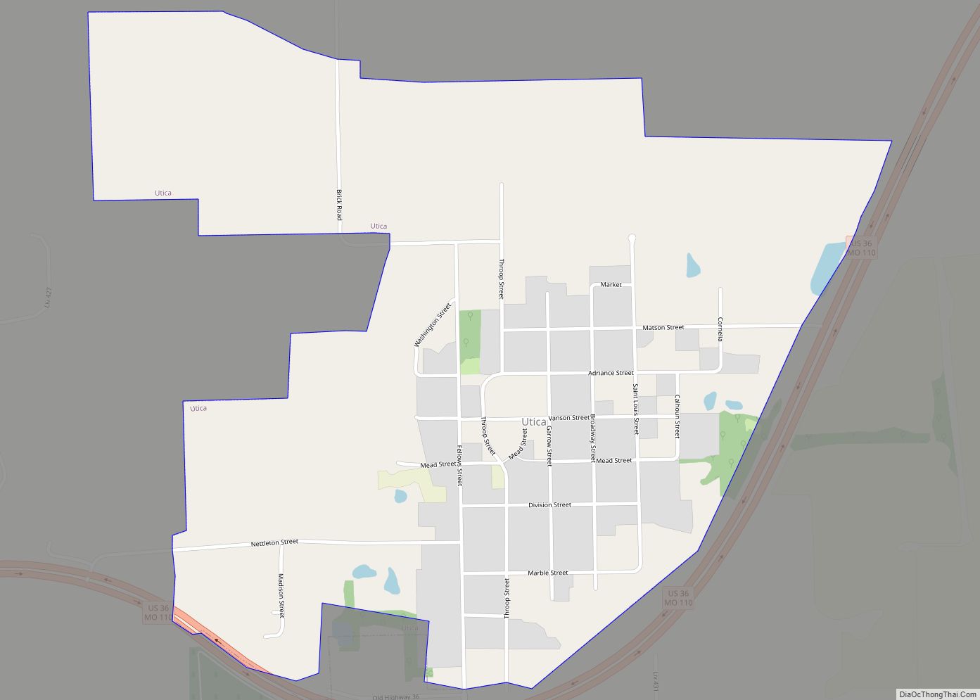
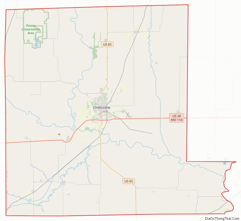
Livingston County Road Map
Geography
According to the U.S. Census Bureau, the county has a total area of 539 square miles (1,400 km), of which 532 square miles (1,380 km) is land and 6.2 square miles (16 km) (1.2%) is water.
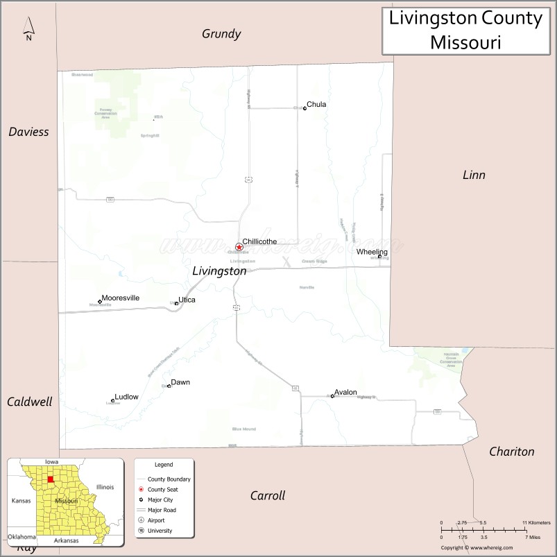
Adjacent counties
- Grundy County (north)
- Linn County (east)
- Chariton County (southeast)
- Carroll County (south)
- Caldwell County (southwest)
- Daviess County (northwest)
Major highways
- U.S. Route 36
- U.S. Route 65
- Route 190
Livingston County Topographic Map
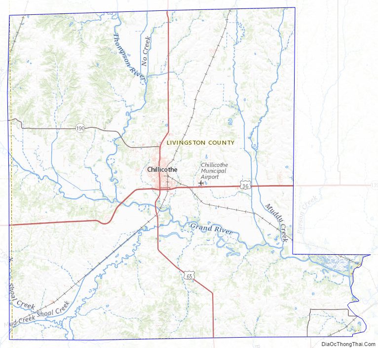
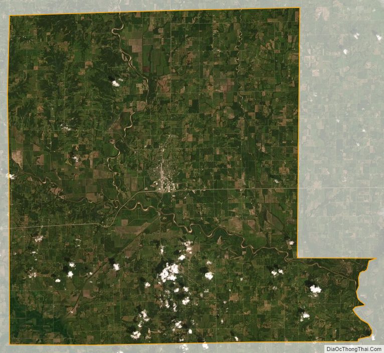
Livingston County Satellite Map
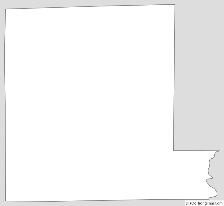
Livingston County Outline Map