Chillicothe is a city in the state of Missouri and the county seat of Livingston County, Missouri, United States. The population was 9,107 at the 2020 census. The name “Chillicothe” is Shawnee for “big town”, and was named after their principal town Chillicothe, located since 1774 about a mile from the present-day city of Chillicothe, Ohio.
| Name: | Chillicothe city |
|---|---|
| LSAD Code: | 25 |
| LSAD Description: | city (suffix) |
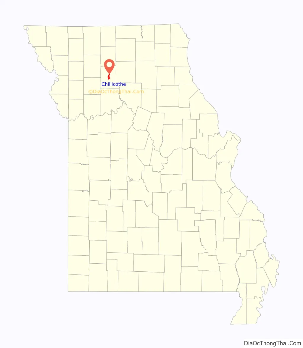
| State: | Missouri |
| County: | Livingston County |
| Elevation: | 774 ft (236 m) |
| Total Area: | 7.16 sq mi (18.54 km²) |
| Land Area: | 7.13 sq mi (18.48 km²) |
| Water Area: | 0.03 sq mi (0.07 km²) |
| Total Population: | 9,107 |
| Population Density: | 1,276.74/sq mi (492.93/km²) |
| ZIP code: | 64601 |
| Area code: | 660 |
| FIPS code: | 2913690 |
| GNISfeature ID: | 2393517 |
| Website: | www.chillicothecity.org |
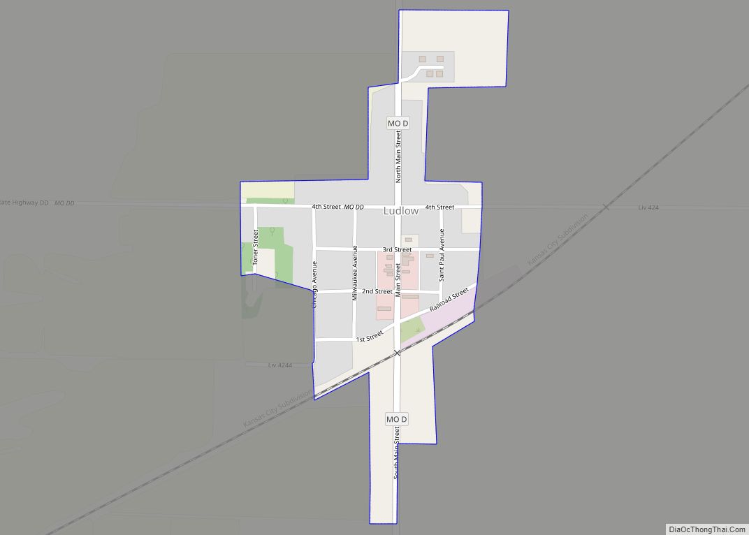
Online Interactive Map
Click on ![]() to view map in "full screen" mode.
to view map in "full screen" mode.
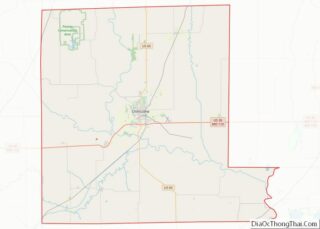
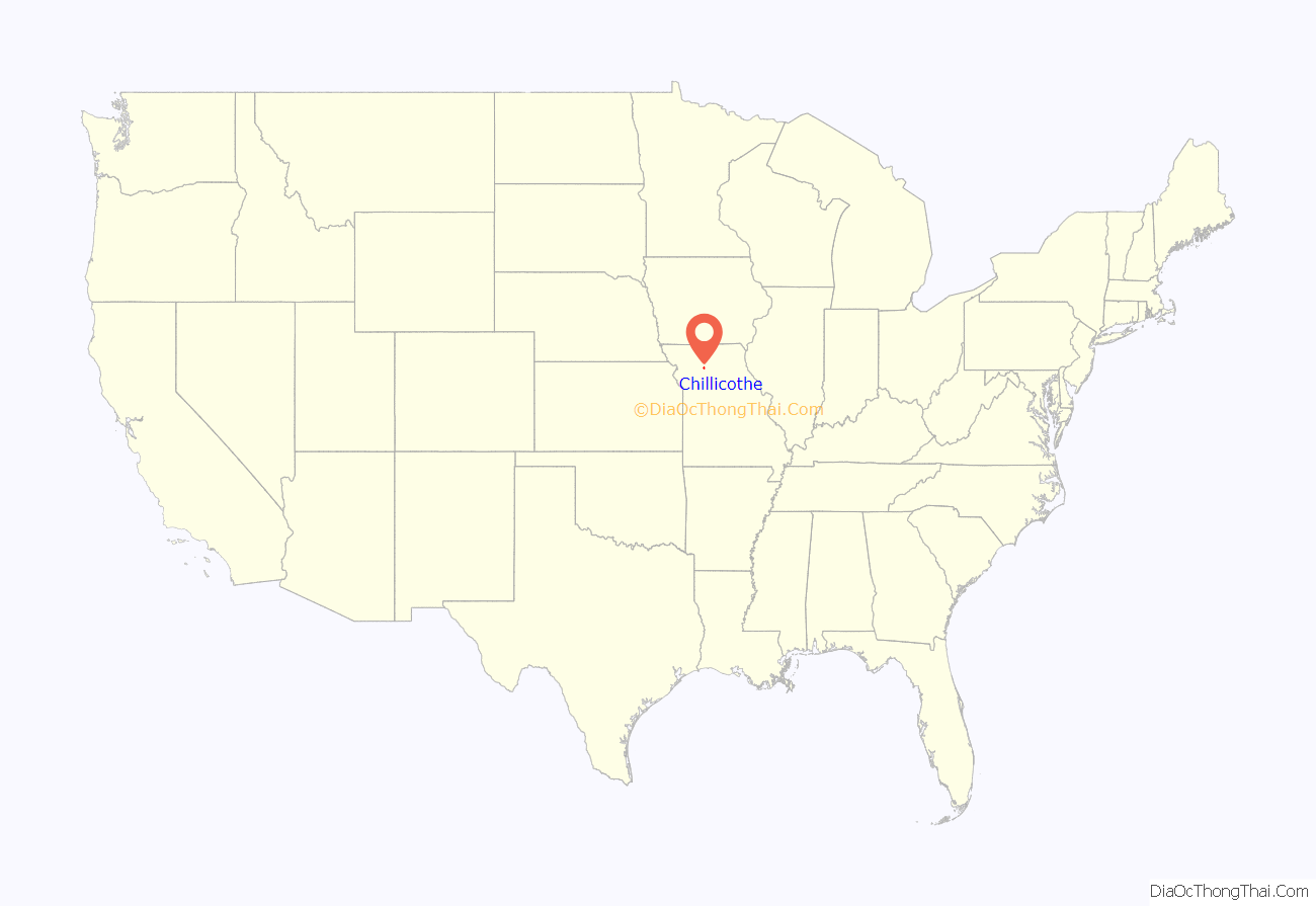
Chillicothe location map. Where is Chillicothe city?
History
This territory was originally settled by indigenous peoples of the Americas. The Osage and Missouri were in the territory at the time of earliest European contact, which was mostly by French explorers and traders. By 1800 the Shawnee and Iowa had migrated here. The Shawnee came from the Ohio Country, where they had been under pressure before the American Revolution from aggressive Iroquois and later encroaching European Americans. Displacing the Osage, the Shawnee had a major village known as Chillicothe about a mile from the present-day city, named after their historic capital in their traditional lands in Ohio. Chillicothe was also the name of a major band of the tribe. Other Native American tribes in the area were the Sac and Fox, and Pottawatomi, all of whom hunted in the area.
In the early 19th century, European-American migration to Missouri increased. The original survey of Chillicothe by United States citizens was filed for record August 31, 1837, and a resurvey of the same was filed August 5, 1859. Chillicothe was incorporated as a city by an act of the General Assembly, approved March 1, 1855. It was selected as the County seat by commissioners and the first term of the county court began on May 7, 1838. In August of that year an order was made to erect the first Court House, the cost not to exceed $5,000, in the Public Square; The first circuit court for the trial of civil and criminal causes was held on the 3d of July 1887.
Livingston was settled by emigrants from the older counties and others from the Upper South states of Kentucky and Tennessee, as well as Ohio and other “Old Northwest” states, as the westward migration continued. Prior to completion of the Hannibal & St. Joseph Railroad in 1859, the city was minimally developed with cheap frame houses, with little pretense of architectural beauty or design. The building materials being hewed and sawed from the oak and walnut timber surrounding the town, as timber originally covered the site.
The railroad gave an impetus for town improvements. Soon two and three-story brick business buildings were constructed in place of the former frame structures. From 1865 to 1870, the city improved rapidly, then a lull lasted until 1875, when the erection of the beautiful three-story, $36,000 school building was started, now known as “Middle School.” From that time on Chillicothe made a slow, steady growth up to 1886, when the Chicago, Milwaukee & St. Paul Railroad was built through here. That year also saw the introduction of the “Water Works” and electric lights. The city continued to modernize in the early 20th century.
The Missouri Training School for Girls
The Missouri Training School for Girls (1889-1981) was the correctional facility of the Missouri Division of Youth Services. It opened in 1889. In 1956, the school received all of the black girls after the Missouri Training School for Negro Girls in Tipton closed. The school closed in 1981.
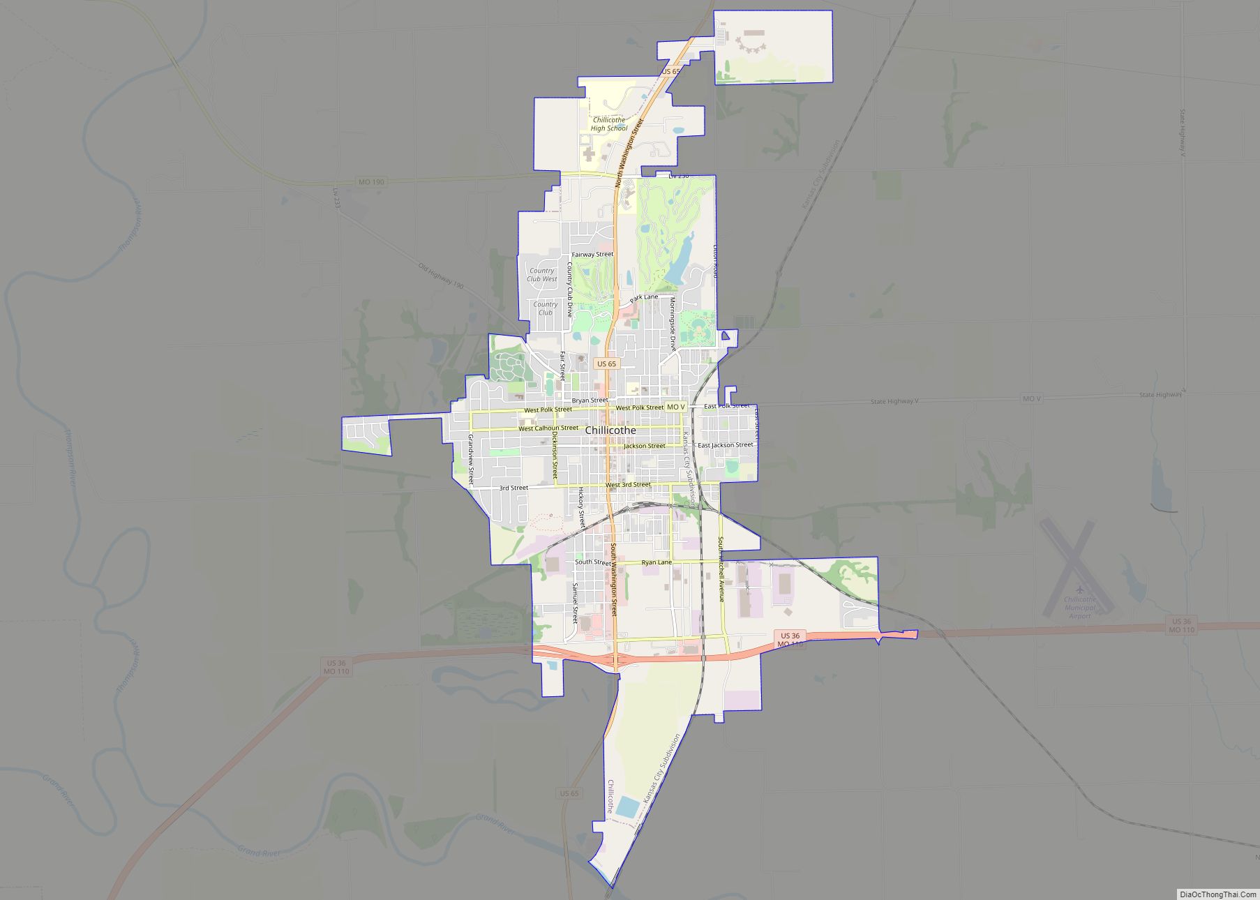
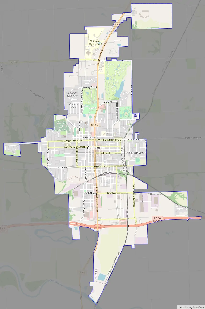
Chillicothe Road Map
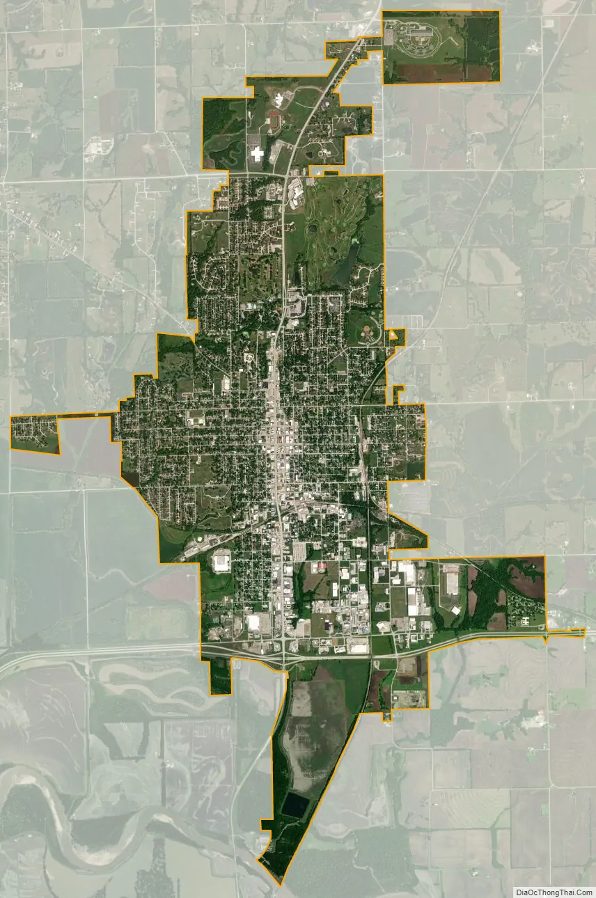
Chillicothe city Satellite Map
Geography
Chillicothe is located in central Livingston County. The Grand River flows past approximately one mile south of the city and the confluence of the Thompson River with the Grand is about three miles to the southwest. The city is served by U.S. Route 36, U.S. Route 65 and Missouri Route 190.
According to the United States Census Bureau, the city has a total area of 7.03 square miles (18.21 km), of which 7.02 square miles (18.18 km) is land and 0.01 square miles (0.03 km) is water.
Climate
See also
Map of Missouri State and its subdivision:- Adair
- Andrew
- Atchison
- Audrain
- Barry
- Barton
- Bates
- Benton
- Bollinger
- Boone
- Buchanan
- Butler
- Caldwell
- Callaway
- Camden
- Cape Girardeau
- Carroll
- Carter
- Cass
- Cedar
- Chariton
- Christian
- Clark
- Clay
- Clinton
- Cole
- Cooper
- Crawford
- Dade
- Dallas
- Daviess
- De Kalb
- Dent
- Douglas
- Dunklin
- Franklin
- Gasconade
- Gentry
- Greene
- Grundy
- Harrison
- Henry
- Hickory
- Holt
- Howard
- Howell
- Iron
- Jackson
- Jasper
- Jefferson
- Johnson
- Knox
- Laclede
- Lafayette
- Lawrence
- Lewis
- Lincoln
- Linn
- Livingston
- Macon
- Madison
- Maries
- Marion
- McDonald
- Mercer
- Miller
- Mississippi
- Moniteau
- Monroe
- Montgomery
- Morgan
- New Madrid
- Newton
- Nodaway
- Oregon
- Osage
- Ozark
- Pemiscot
- Perry
- Pettis
- Phelps
- Pike
- Platte
- Polk
- Pulaski
- Putnam
- Ralls
- Randolph
- Ray
- Reynolds
- Ripley
- Saint Charles
- Saint Clair
- Saint Francois
- Saint Louis
- Sainte Genevieve
- Saline
- Schuyler
- Scotland
- Scott
- Shannon
- Shelby
- Stoddard
- Stone
- Sullivan
- Taney
- Texas
- Vernon
- Warren
- Washington
- Wayne
- Webster
- Worth
- Wright
- Alabama
- Alaska
- Arizona
- Arkansas
- California
- Colorado
- Connecticut
- Delaware
- District of Columbia
- Florida
- Georgia
- Hawaii
- Idaho
- Illinois
- Indiana
- Iowa
- Kansas
- Kentucky
- Louisiana
- Maine
- Maryland
- Massachusetts
- Michigan
- Minnesota
- Mississippi
- Missouri
- Montana
- Nebraska
- Nevada
- New Hampshire
- New Jersey
- New Mexico
- New York
- North Carolina
- North Dakota
- Ohio
- Oklahoma
- Oregon
- Pennsylvania
- Rhode Island
- South Carolina
- South Dakota
- Tennessee
- Texas
- Utah
- Vermont
- Virginia
- Washington
- West Virginia
- Wisconsin
- Wyoming