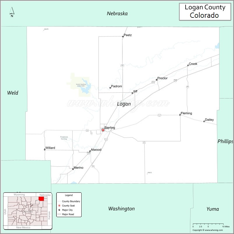
Logan County is a county located in the U.S. state of Colorado. As of the 2020 census, the population was 21,528. The county seat is Sterling. The county was named for General John A. Logan.
Logan County comprises the Sterling, CO Micropolitan Statistical Area.
| Name: | Logan County |
|---|---|
| FIPS code: | 08-075 |
| State: | Colorado |
| Founded: | February 25, 1887 |
| Named for: | John A. Logan |
| Seat: | Sterling |
| Largest city: | Sterling |
| Total Area: | 1,845 sq mi (4,780 km²) |
| Land Area: | 1,839 sq mi (4,760 km²) |
| Total Population: | 21,487 |
| Population Density: | 12/sq mi (5/km²) |
| Time zone: | UTC−7 (Mountain) |
| Summer Time Zone (DST): | UTC−6 (MDT) |
| Website: | logancounty.colorado.gov |
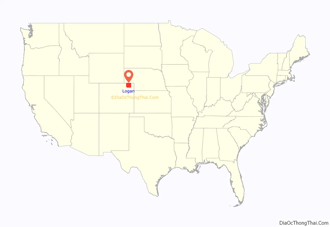
Logan County location map. Where is Logan County?
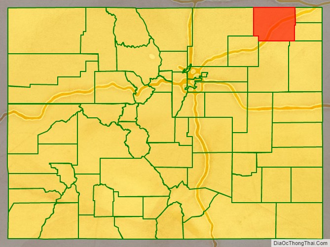
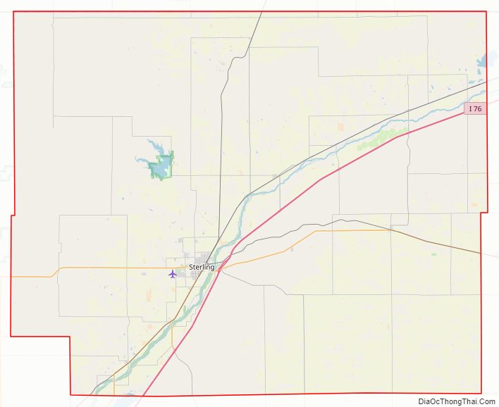
Logan County Road Map
Geography
According to the U.S. Census Bureau, the county has a total area of 1,845 square miles (4,780 km), of which 1,839 square miles (4,760 km) is land and 6.3 square miles (16 km) (0.3%) is water.
Adjacent counties
- Cheyenne County, Nebraska – north
- Phillips County – east
- Sedgwick County – east
- Yuma County – southeast
- Washington County – south
- Morgan County – southwest
- Weld County – west
- Kimball County, Nebraska – northwest
Major highways
- Interstate 76
- I-76 BS
- U.S. Highway 6
- U.S. Highway 138
- State Highway 14
- State Highway 61
- State Highway 63
- State Highway 113
State protected area
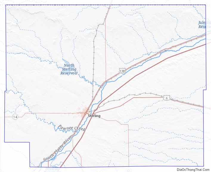
- North Sterling State Park
Trails and byways
- American Discovery Trail
- Pawnee Pioneer Trails
- South Platte Trail
Logan County Topographic Map
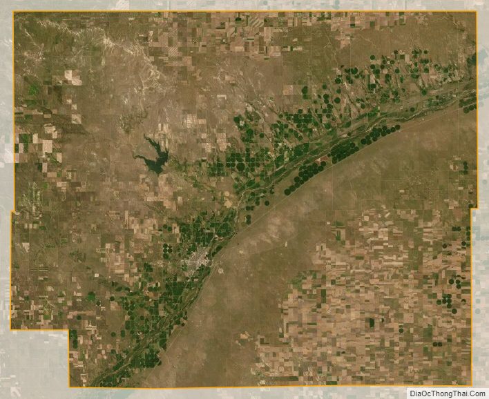
Logan County Satellite Map
Logan County Outline Map