Sterling is a home rule municipality and the county seat and most populous municipality of Logan County, Colorado, United States. Sterling is the principal city of the Sterling, CO Micropolitan Statistical Area. The city population was 13,735 at the 2020 census.
Sterling is the largest city on the Colorado plains outside of the Front Range Urban Corridor and the county seat of Logan County and the site of the domed Logan County courthouse, built in 1909.
| Name: | Sterling city |
|---|---|
| LSAD Code: | 25 |
| LSAD Description: | city (suffix) |
| State: | Colorado |
| County: | Logan County |
| Incorporated: | December 3, 1884 |
| Elevation: | 3,937 ft (1,181 m) |
| Total Area: | 7.43 sq mi (19.25 km²) |
| Land Area: | 7.43 sq mi (19.25 km²) |
| Water Area: | 0.00 sq mi (0.00 km²) 0.0% |
| Total Population: | 13,735 |
| Population Density: | 1,800/sq mi (710/km²) |
| ZIP code: | 80751 |
| Area code: | 970 |
| FIPS code: | 0873935 |
| GNISfeature ID: | 0202901 |
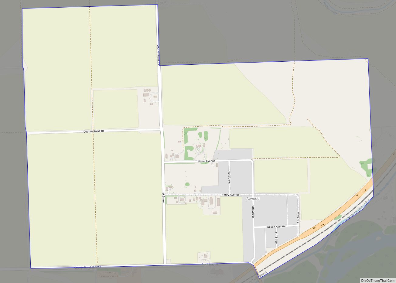
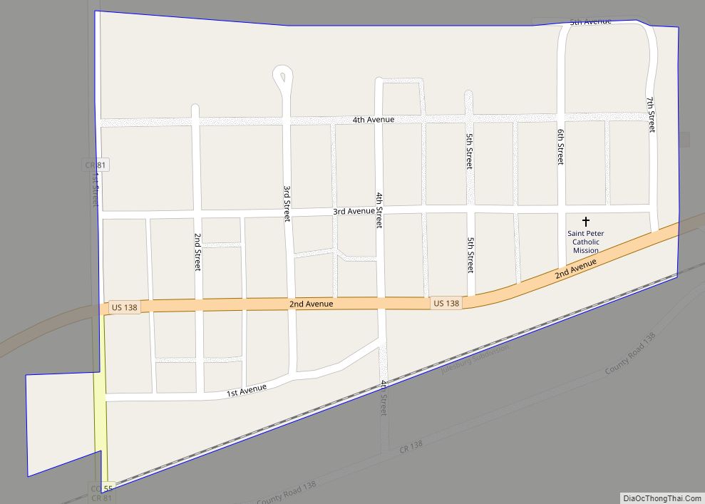
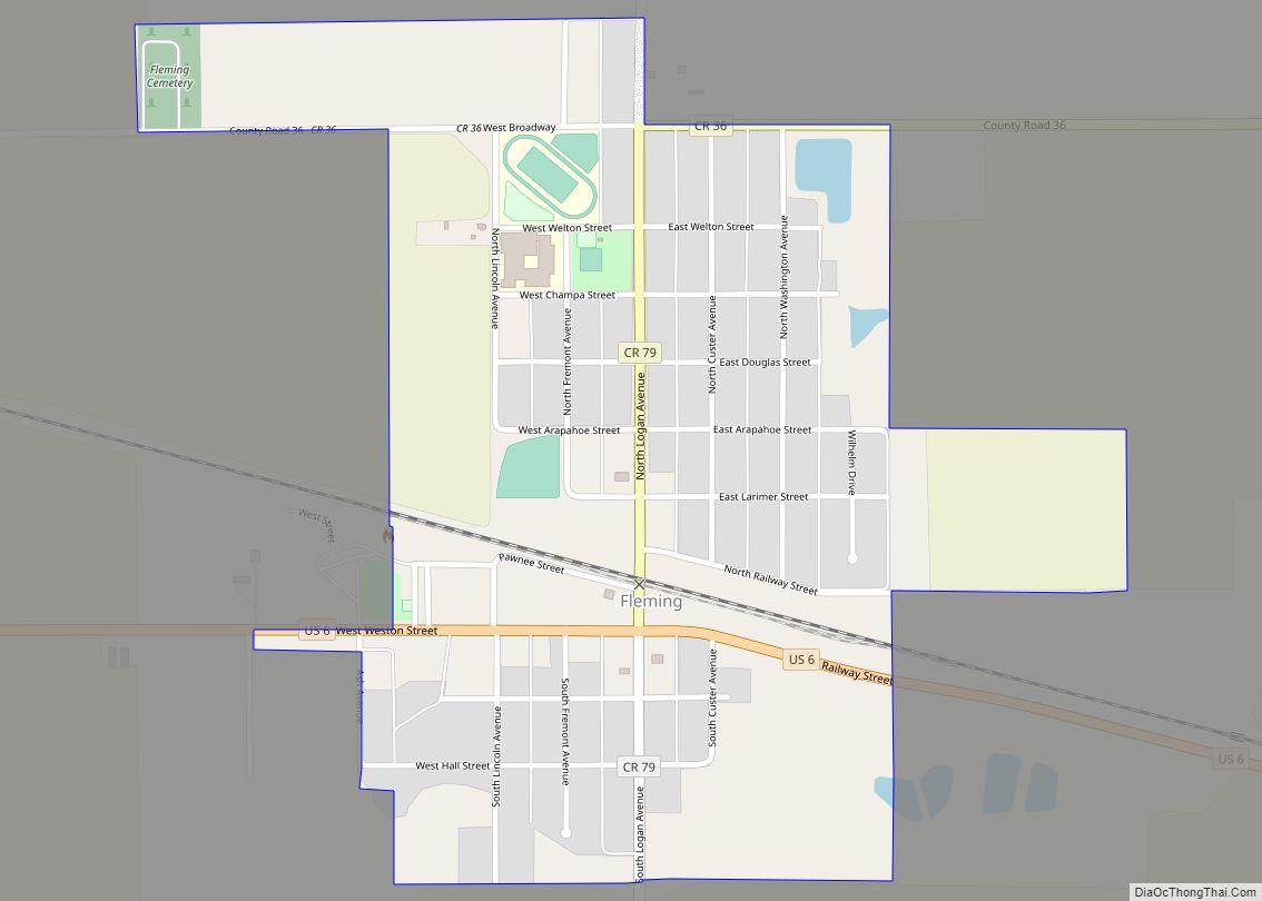
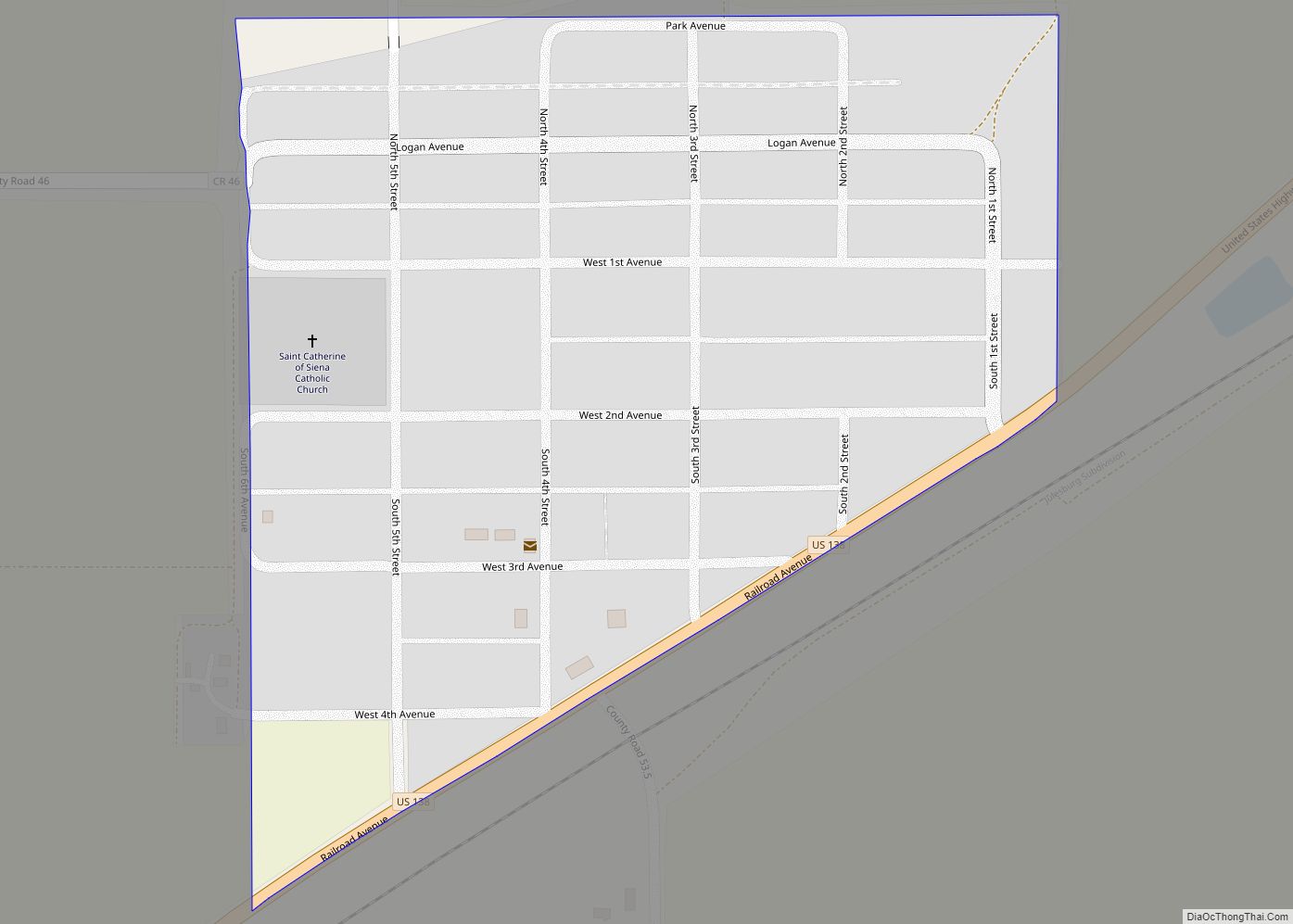
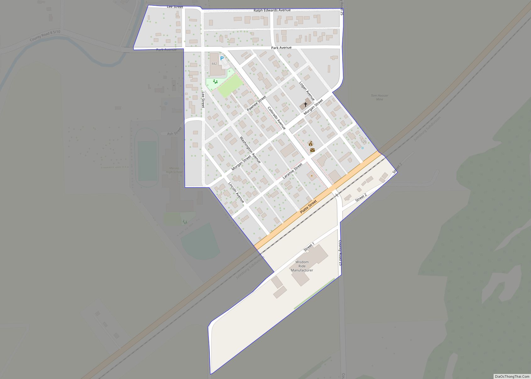
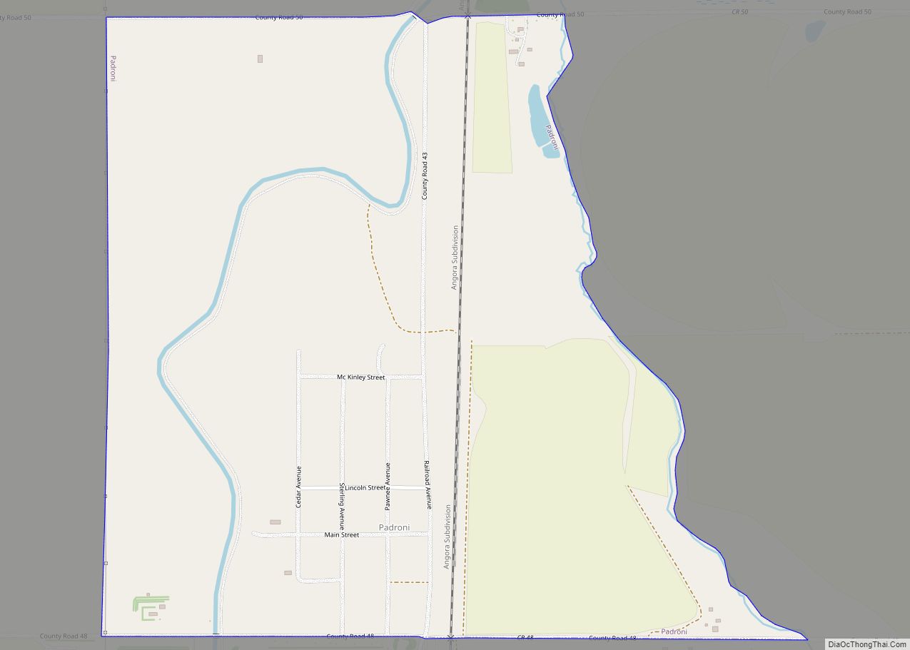
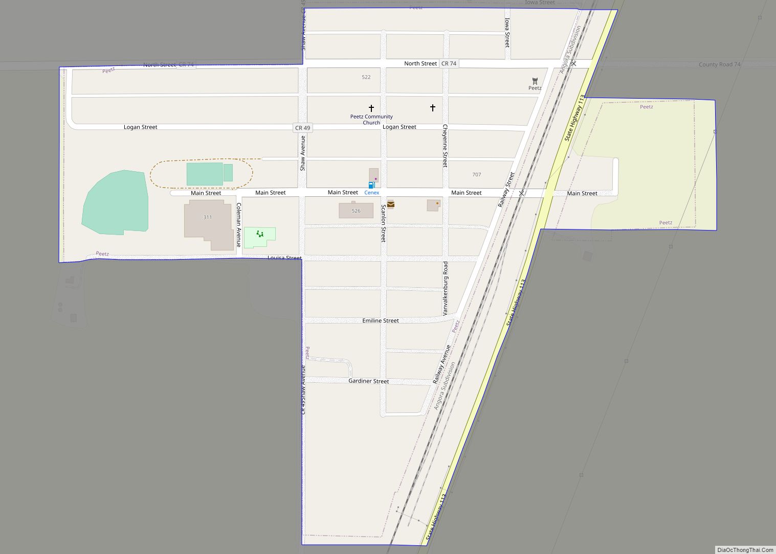
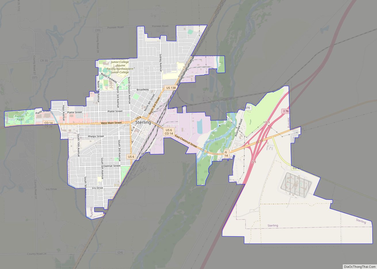
Online Interactive Map
Click on ![]() to view map in "full screen" mode.
to view map in "full screen" mode.
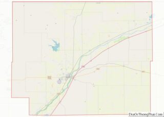
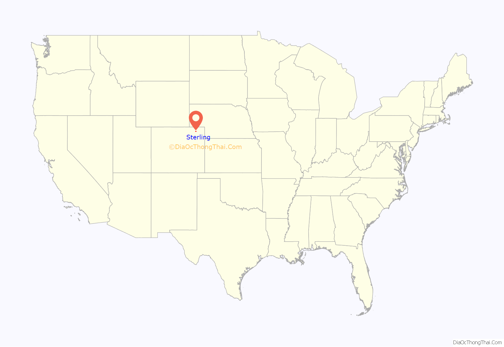
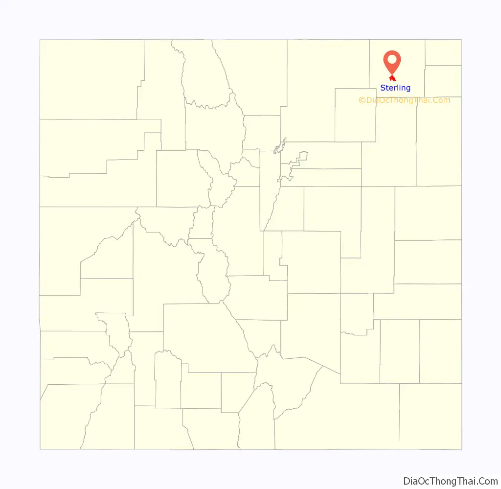
Sterling location map. Where is Sterling city?
History
A post office called Sterling has been in operation since 1874. The community was named for Sterling, Illinois, the native home of a railroad official.
Sterling Road Map
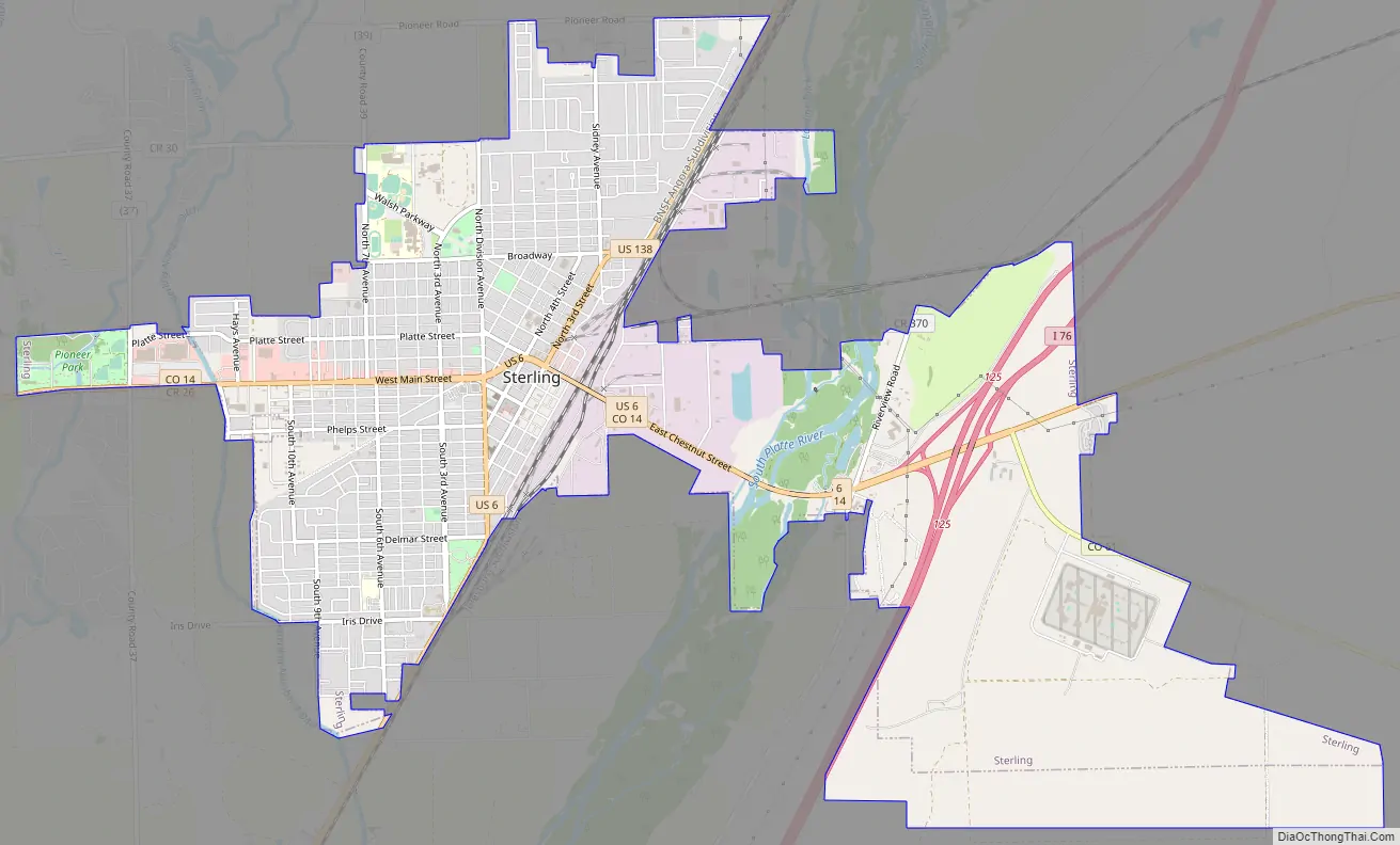
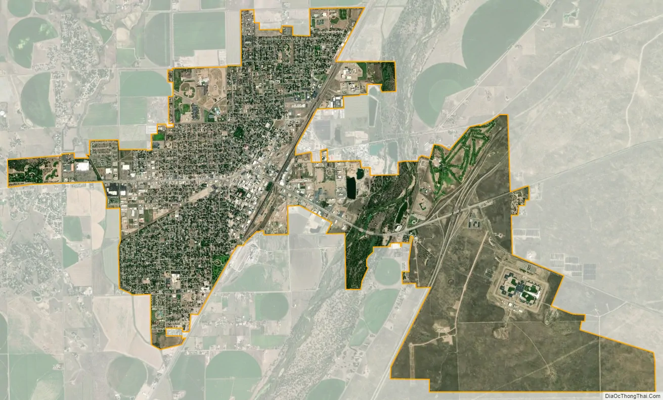
Sterling city Satellite Map
Geography
Sterling is 128 miles (206 km) northeast of Denver, and is located on Interstate 76, on the ‘eastern plains’ of northeastern Colorado.
According to the United States Census Bureau, the city has a total area of 7.43 square miles (19.2 km), all land.
Climate
According to the Köppen Climate Classification system, Sterling has a semi-arid climate, abbreviated “BSk” on climate maps.
See also
Map of Colorado State and its subdivision:- Adams
- Alamosa
- Arapahoe
- Archuleta
- Baca
- Bent
- Boulder
- Broomfield
- Chaffee
- Cheyenne
- Clear Creek
- Conejos
- Costilla
- Crowley
- Custer
- Delta
- Denver
- Dolores
- Douglas
- Eagle
- El Paso
- Elbert
- Fremont
- Garfield
- Gilpin
- Grand
- Gunnison
- Hinsdale
- Huerfano
- Jackson
- Jefferson
- Kiowa
- Kit Carson
- La Plata
- Lake
- Larimer
- Las Animas
- Lincoln
- Logan
- Mesa
- Mineral
- Moffat
- Montezuma
- Montrose
- Morgan
- Otero
- Ouray
- Park
- Phillips
- Pitkin
- Prowers
- Pueblo
- Rio Blanco
- Rio Grande
- Routt
- Saguache
- San Juan
- San Miguel
- Sedgwick
- Summit
- Teller
- Washington
- Weld
- Yuma
- Alabama
- Alaska
- Arizona
- Arkansas
- California
- Colorado
- Connecticut
- Delaware
- District of Columbia
- Florida
- Georgia
- Hawaii
- Idaho
- Illinois
- Indiana
- Iowa
- Kansas
- Kentucky
- Louisiana
- Maine
- Maryland
- Massachusetts
- Michigan
- Minnesota
- Mississippi
- Missouri
- Montana
- Nebraska
- Nevada
- New Hampshire
- New Jersey
- New Mexico
- New York
- North Carolina
- North Dakota
- Ohio
- Oklahoma
- Oregon
- Pennsylvania
- Rhode Island
- South Carolina
- South Dakota
- Tennessee
- Texas
- Utah
- Vermont
- Virginia
- Washington
- West Virginia
- Wisconsin
- Wyoming