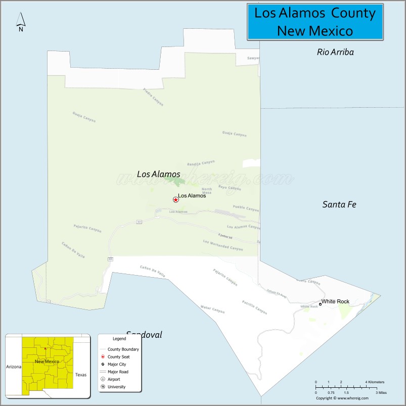
Los Alamos County (English: “The Poplars” or “Cottonwoods”; Spanish: Condado de Los Álamos) is a county in the U.S. state of New Mexico. As of the 2010 census, the population was 17,950. The smallest county by area in the state, Los Alamos County was formerly administered exclusively by the U.S. federal government during the Manhattan Project, but it now has equal status to New Mexico’s other counties. The county has two census-designated places: Los Alamos and White Rock.
Los Alamos County comprises the Los Alamos, NM Micropolitan Statistical Area, which is also included in the Albuquerque–Santa Fe–Las Vegas, NM Combined Statistical Area.
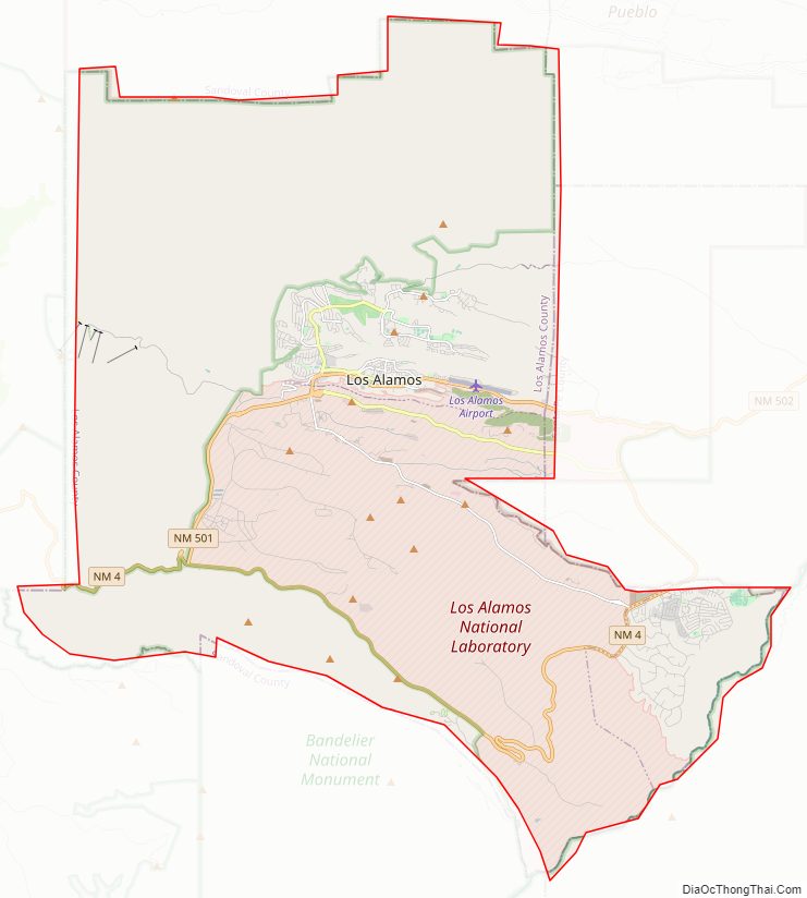
The county is home to the Los Alamos National Laboratory. Los Alamos County is noted for having the lowest level of child poverty of any county in the United States.
| Name: | Los Alamos County |
|---|---|
| FIPS code: | 35-028 |
| State: | New Mexico |
| Founded: | 1949 |
| Seat: | Los Alamos |
| Total Area: | 109 sq mi (282 km²²) |
| Land Area: | 109 sq mi (280 km²) |
| Total Population: | 19,330 |
| Population Density: | 164/sq mi (63/km²) |
| Time zone: | UTC−7 (Mountain) |
| Summer Time Zone (DST): | UTC−6 (MDT) |
| Website: | www.losalamosnm.us |
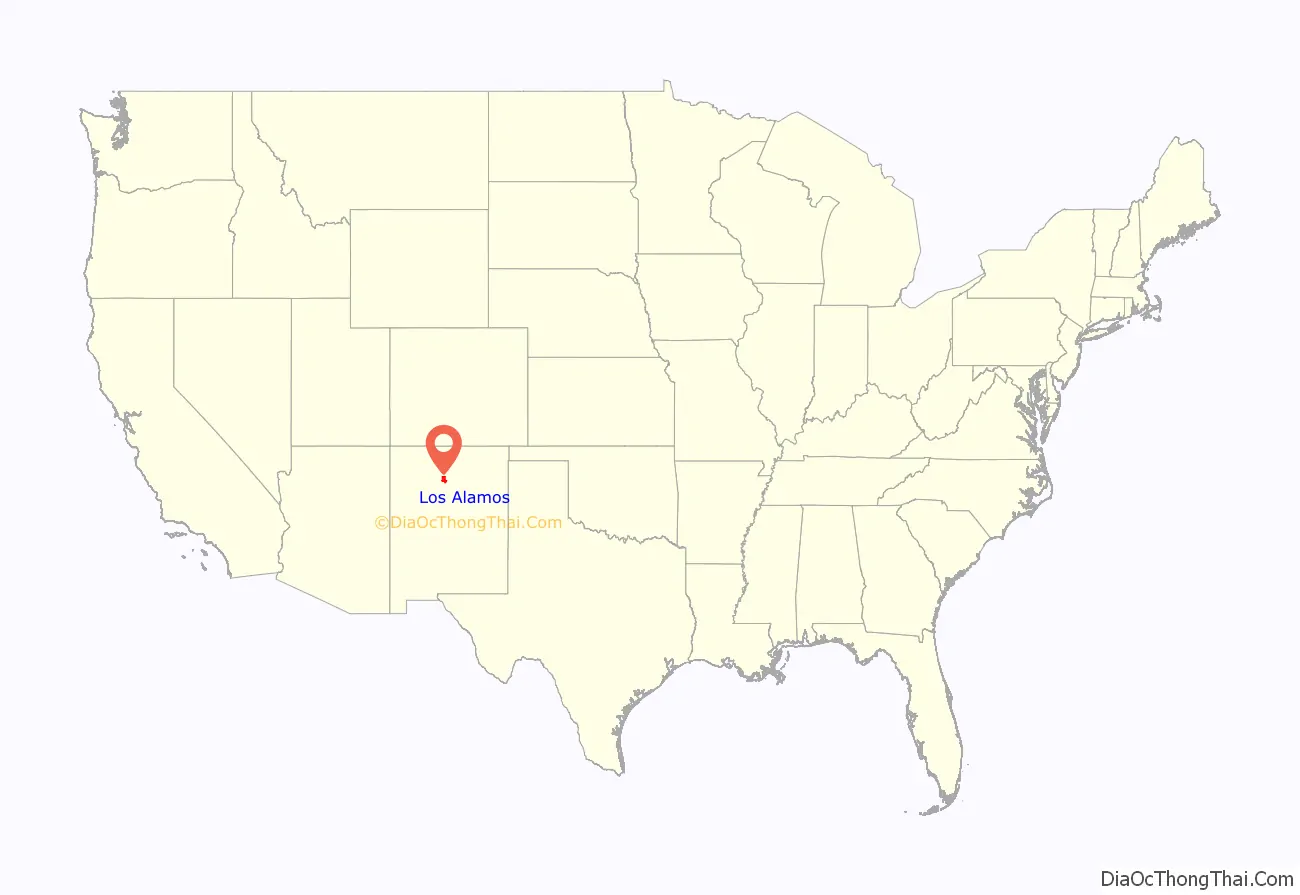
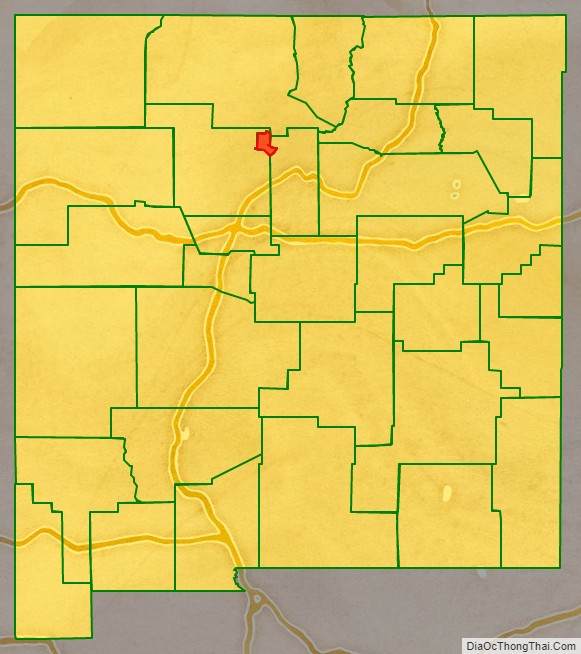
Los Alamos County location map. Where is Los Alamos County?
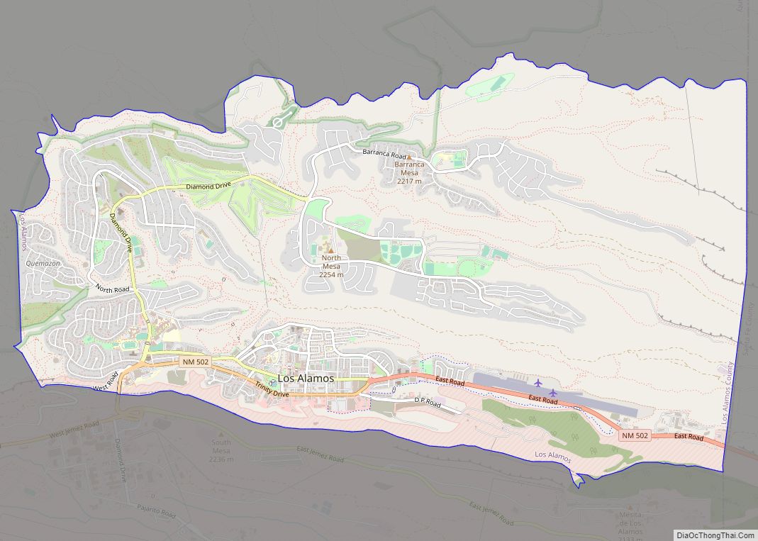
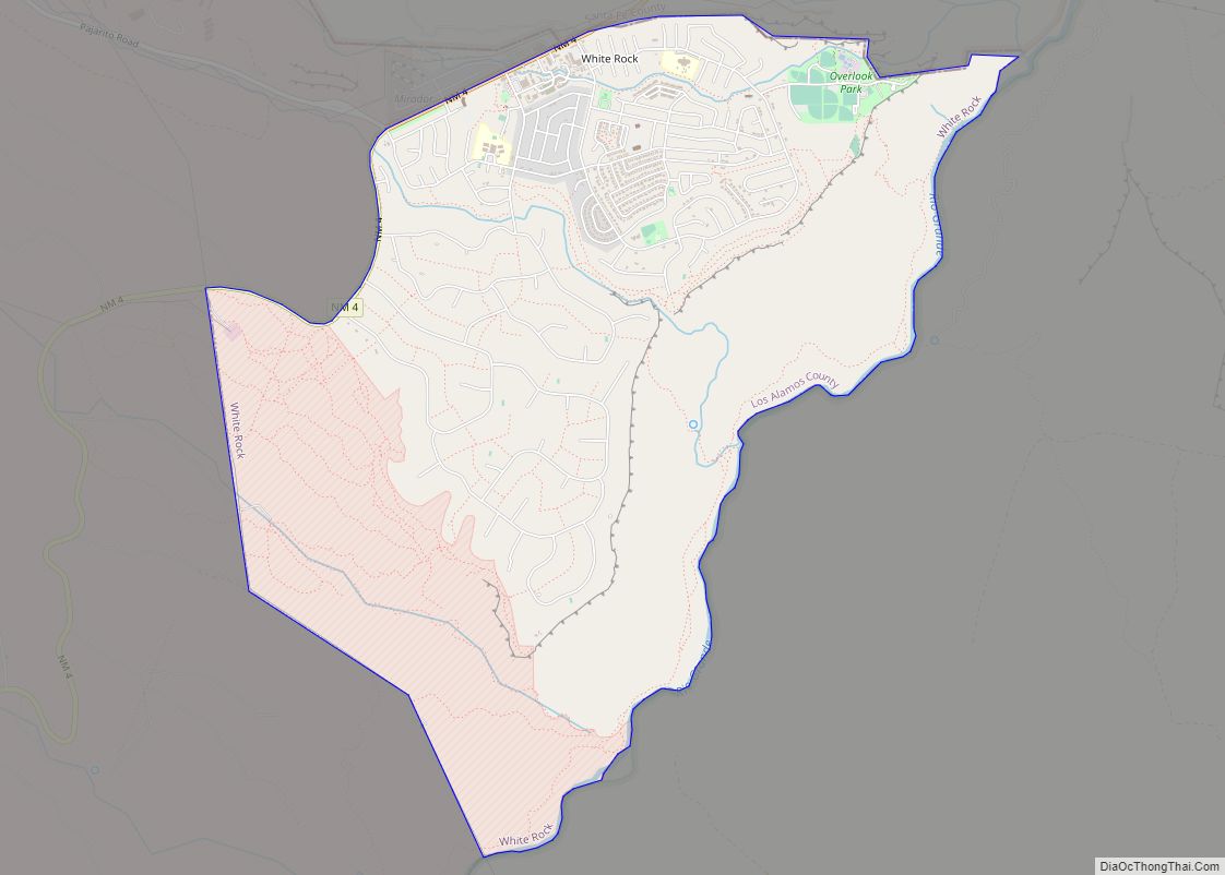
Los Alamos County Road Map
Geography
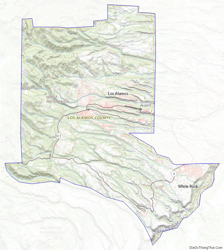
According to the U.S. Census Bureau, the county has a total area of 109 square miles (280 km), of which 109 square miles (280 km) is land and 0.09 square miles (0.23 km) (0.08%) is water. It is the smallest county by area in New Mexico. There is no significant open water in the county. The county’s highest point is located along its northern border, near the summit of Caballo Mountain, at 10,480 feet (3,190 m) above sea level.
Adjacent counties
- Rio Arriba County – northeast
- Santa Fe County – east
- Sandoval County – south, west, north (and the Sandoval exclave to the east)
Pueblos with adjacent territories
- Santa Clara Pueblo – northeast
- San Ildefonso Pueblo – east
National protected areas
- Bandelier National Monument (part)
- Santa Fe National Forest (part)
Los Alamos County Topographic Map
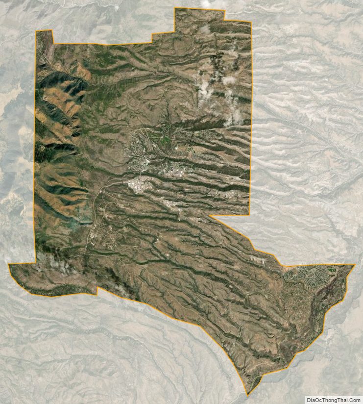
Los Alamos County Satellite Map
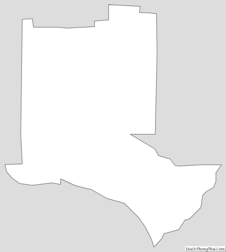
Los Alamos County Outline Map