Madison County is a county located in the western part of the U.S. state of Tennessee. As of the 2020 census, the population was 98,823. Its county seat is Jackson. Madison County is included in the Jackson, TN Metropolitan Statistical Area.
| Name: | Madison County |
|---|---|
| FIPS code: | 47-113 |
| State: | Tennessee |
| Founded: | 1821 |
| Named for: | James Madison |
| Seat: | Jackson |
| Largest city: | Jackson |
| Total Area: | 559 sq mi (1,450 km²) |
| Land Area: | 557 sq mi (1,440 km²) |
| Total Population: | 98,823 |
| Population Density: | 176/sq mi (68/km²) |
| Time zone: | UTC−6 (Central) |
| Summer Time Zone (DST): | UTC−5 (CDT) |
| Website: | www.madisoncountytn.gov |
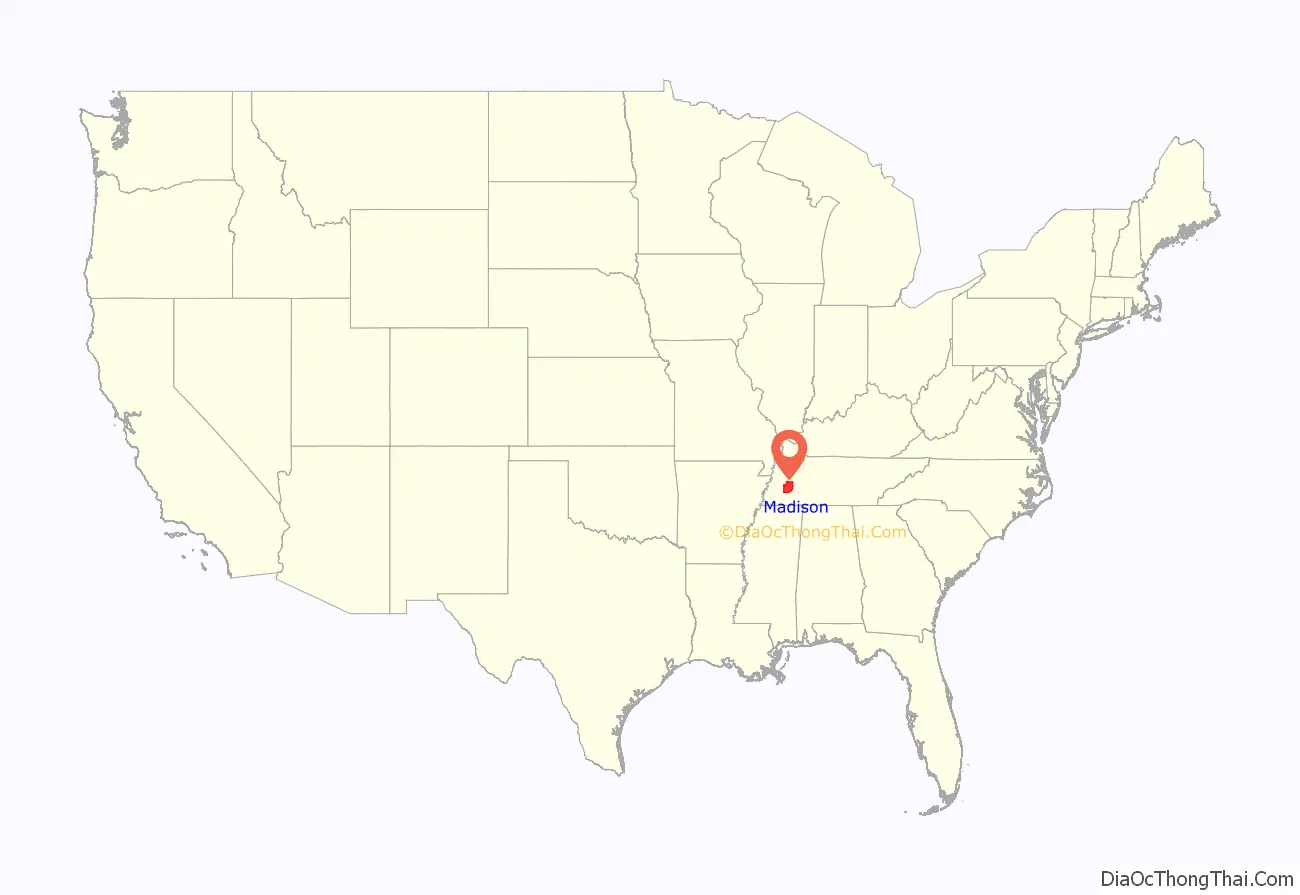
Madison County location map. Where is Madison County?
History
Madison County was formed in 1821, and named for founding father and president, James Madison. The county was part of lands the United States purchased from the Chickasaw in 1818. After Congressional passage of the Indian Removal Act of 1830, most Chickasaw were forced out of the state and west to Indian Territory beyond the Mississippi River.
Pinson Mounds, one of the largest Woodland period (c. 1-500CE) mound complexes in the United States, is located in Madison County. It has the second-tallest earthwork mound in the United States.
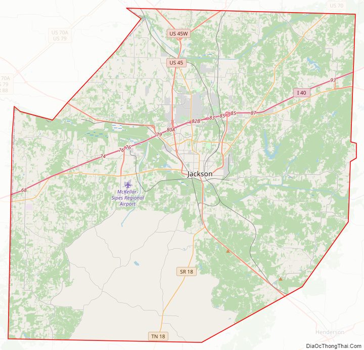
Madison County Road Map
Geography
According to the U.S. Census Bureau, the county has a total area of 559 square miles (1,450 km), of which 557 square miles (1,440 km) is land and 1.5 square miles (3.9 km) (0.3%) is water.
Airport
McKellar-Sipes Regional Airport (MKL) serves the county. Lake Graham, a large 500 acre reservoir primarily intended for recreation and wildlife habitat, is located in the county 5 miles east of Jackson.
Adjacent counties
- Gibson County (north)
- Carroll County (northeast)
- Henderson County (east)
- Chester County (southeast)
- Hardeman County (south)
- Haywood County (west)
- Crockett County (northwest)
State protected areas
- Pinson Mounds State Archaeological Park
- South Fork Waterfowl Refuge
- Lake Graham
