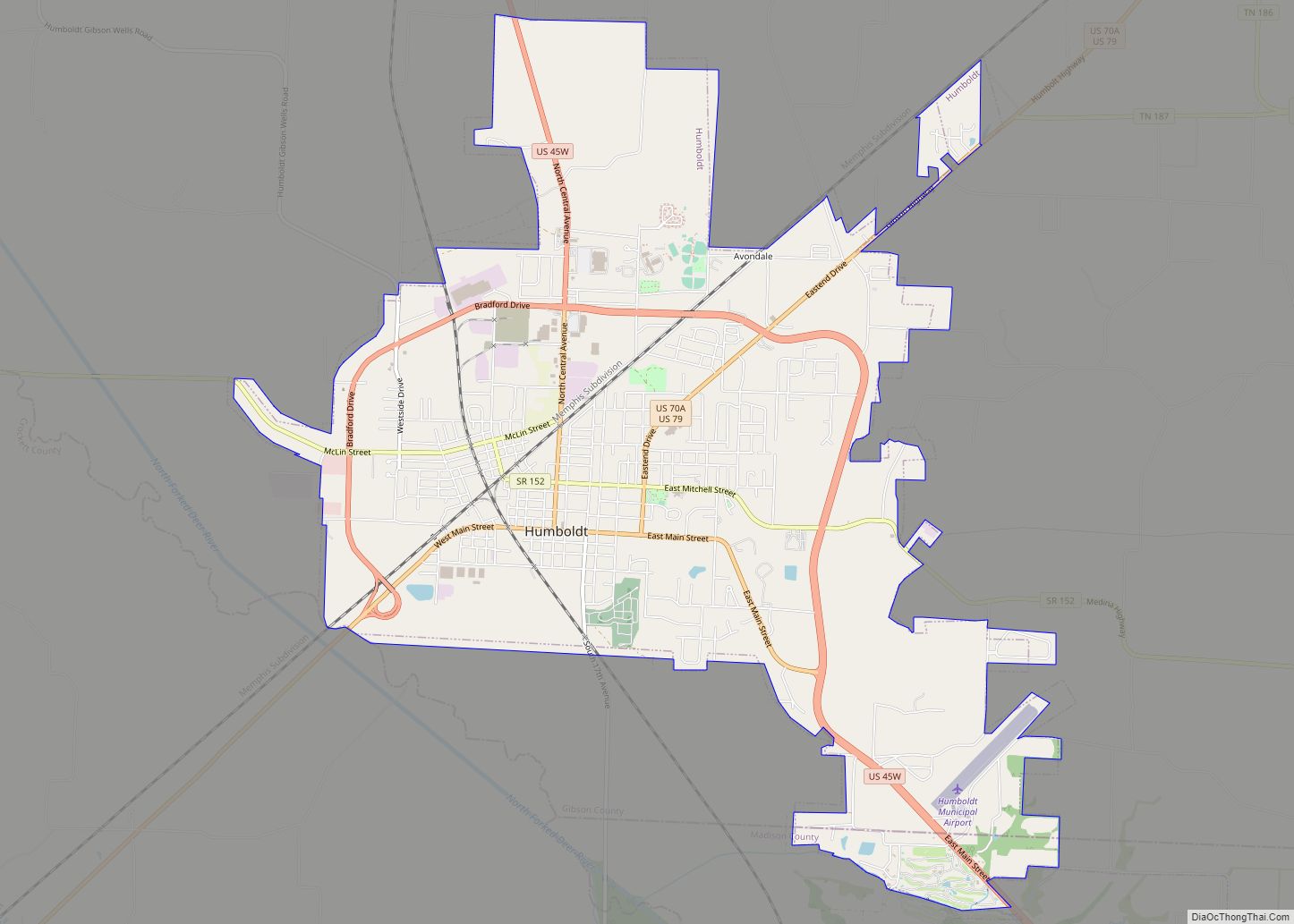
Humboldt is a city in Gibson and Madison counties, Tennessee. The population was 8,452 at the 2010 census, a decline of 1,015 from 2000. It is the principal city of and is included in the Humboldt, Tennessee Micropolitan Statistical Area, which is included in the Jackson, Tennessee-Humboldt, Tennessee Combined Statistical Area.
| Name: | Humboldt city |
|---|---|
| LSAD Code: | 25 |
| LSAD Description: | city (suffix) |
| State: | Tennessee |
| County: | Gibson County, Madison County |
| Elevation: | 364 ft (111 m) |
| Total Area: | 10.39 sq mi (26.90 km²) |
| Land Area: | 10.38 sq mi (26.87 km²) |
| Water Area: | 0.01 sq mi (0.03 km²) |
| Total Population: | 7,874 |
| Population Density: | 758.87/sq mi (293.01/km²) |
| ZIP code: | 38343 |
| Area code: | 731 |
| FIPS code: | 4736460 |
| GNISfeature ID: | 1288697 |
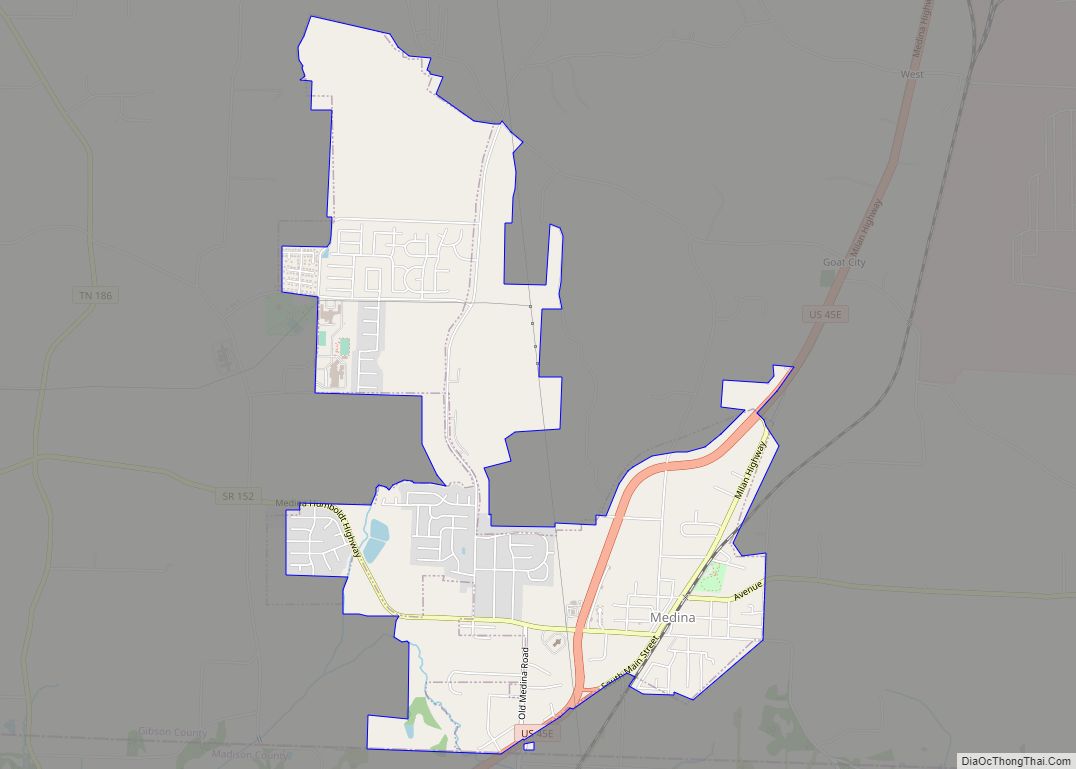
Online Interactive Map
Click on ![]() to view map in "full screen" mode.
to view map in "full screen" mode.
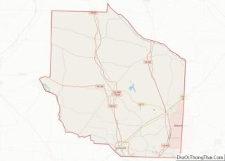
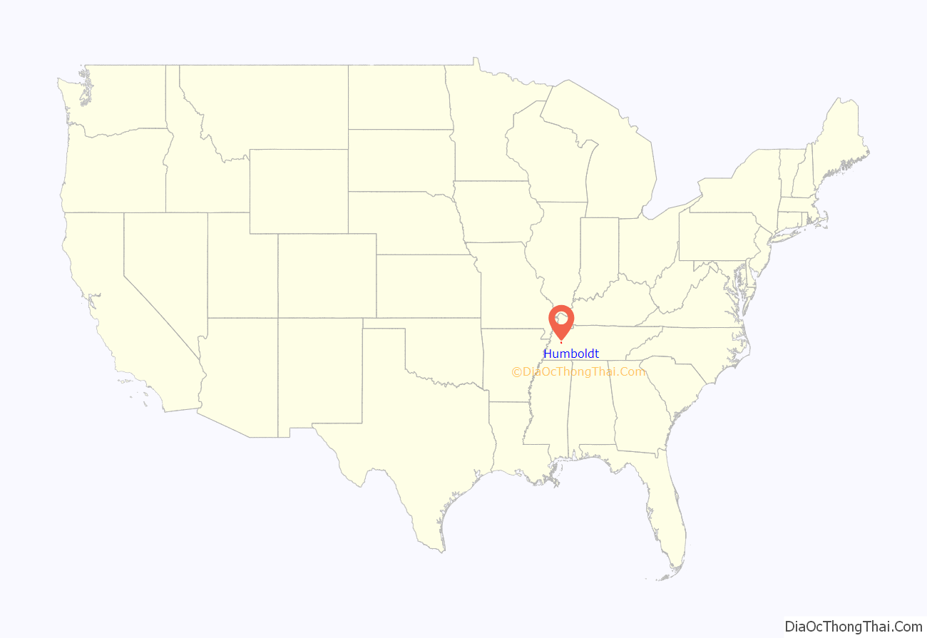
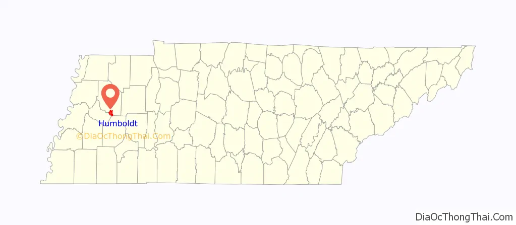
Humboldt location map. Where is Humboldt city?
History
The first settlers of what would become Humboldt, began moving into the area in the mid 1850s. The town was a Railroad town. Its history begins with the Crossing of the Mobile & Ohio and the Memphis & Ohio (later L&N) Railroads. This was completed in 1859. The town wasn’t chartered until after the Civil War in 1866. (Source: www.humboldthistorical.com)
The city is named for German naturalist Alexander von Humboldt.
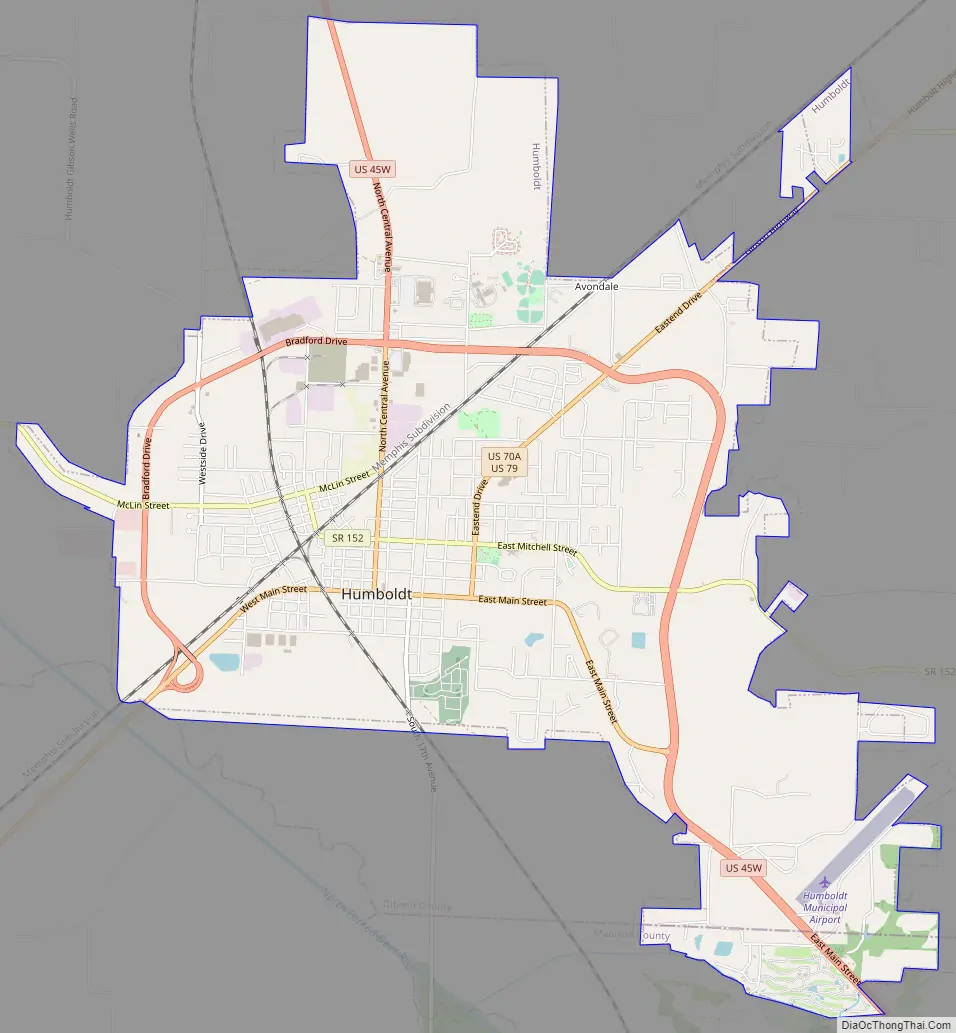
Humboldt Road Map
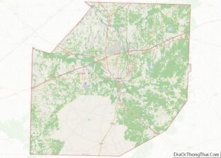
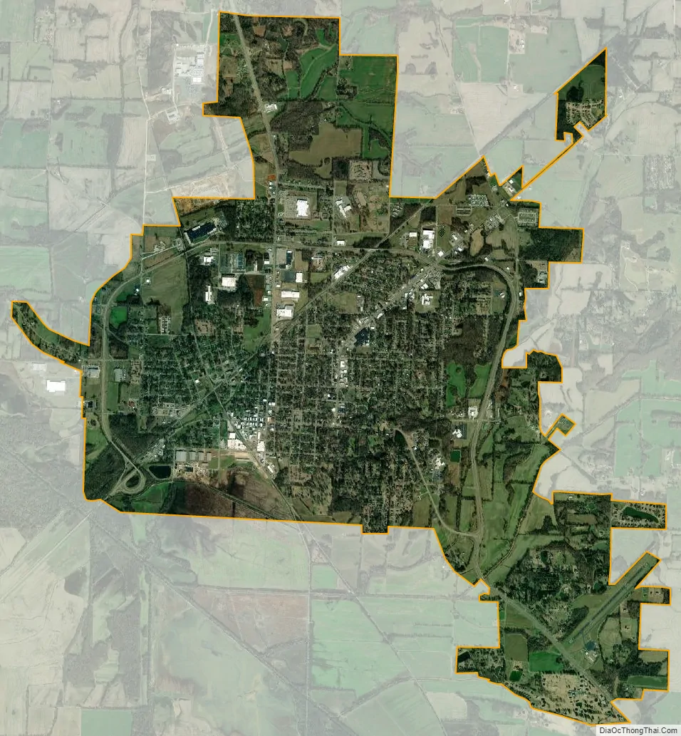
Humboldt city Satellite Map
Geography
Humboldt is located at 35°49′21″N 88°54′40″W / 35.822564°N 88.911138°W / 35.822564; -88.911138 (35.822564, −88.911138). Most of the city lies in Gibson County, with only a small portion extending into Madison County. In the 2000 census, 9,442 of the city’s 9,467 residents (99.7%) lived in Gibson County and 25 (0.3%) in Madison County.
According to the United States Census Bureau, the city has a total area of 9.7 square miles (25.0 km), of which 9.7 square miles (25.0 km) is land and 0.10% is water.
See also
Map of Tennessee State and its subdivision:- Anderson
- Bedford
- Benton
- Bledsoe
- Blount
- Bradley
- Campbell
- Cannon
- Carroll
- Carter
- Cheatham
- Chester
- Claiborne
- Clay
- Cocke
- Coffee
- Crockett
- Cumberland
- Davidson
- Decatur
- DeKalb
- Dickson
- Dyer
- Fayette
- Fentress
- Franklin
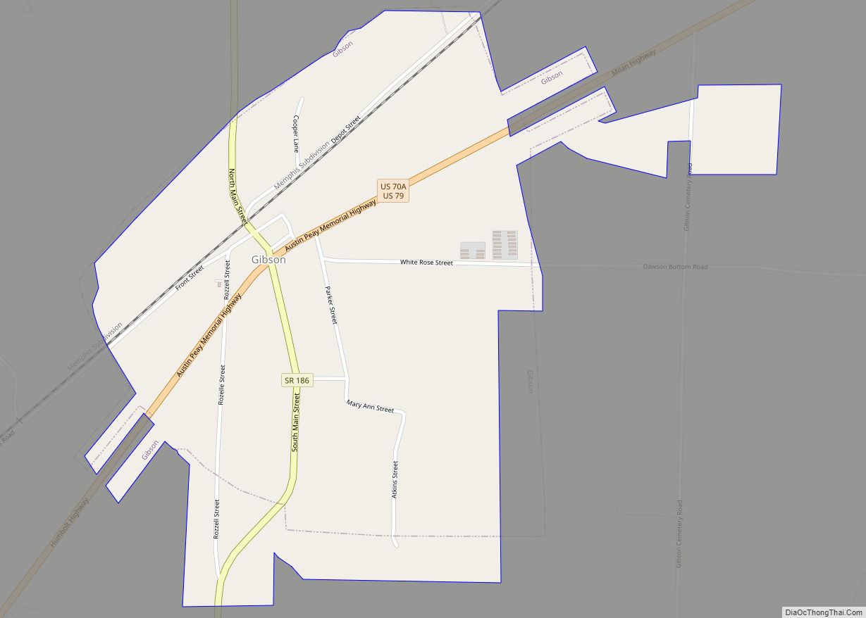
- Gibson
- Giles
- Grainger
- Greene
- Grundy
- Hamblen
- Hamilton
- Hancock
- Hardeman
- Hardin
- Hawkins
- Haywood
- Henderson
- Henry
- Hickman
- Houston
- Humphreys
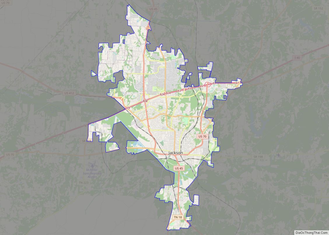
- Jackson
- Jefferson
- Johnson
- Knox
- Lake
- Lauderdale
- Lawrence
- Lewis
- Lincoln
- Loudon
- Macon
- Madison
- Marion
- Marshall
- Maury
- McMinn
- McNairy
- Meigs
- Monroe
- Montgomery
- Moore
- Morgan
- Obion
- Overton
- Perry
- Pickett
- Polk
- Putnam
- Rhea
- Roane
- Robertson
- Rutherford
- Scott
- Sequatchie
- Sevier
- Shelby
- Smith
- Stewart
- Sullivan
- Sumner
- Tipton
- Trousdale
- Unicoi
- Union
- Van Buren
- Warren
- Washington
- Wayne
- Weakley
- White
- Williamson
- Wilson
- Alabama
- Alaska
- Arizona
- Arkansas
- California
- Colorado
- Connecticut
- Delaware
- District of Columbia
- Florida
- Georgia
- Hawaii
- Idaho
- Illinois
- Indiana
- Iowa
- Kansas
- Kentucky
- Louisiana
- Maine
- Maryland
- Massachusetts
- Michigan
- Minnesota
- Mississippi
- Missouri
- Montana
- Nebraska
- Nevada
- New Hampshire
- New Jersey
- New Mexico
- New York
- North Carolina
- North Dakota
- Ohio
- Oklahoma
- Oregon
- Pennsylvania
- Rhode Island
- South Carolina
- South Dakota
- Tennessee
- Texas
- Utah
- Vermont
- Virginia
- Washington
- West Virginia
- Wisconsin
- Wyoming