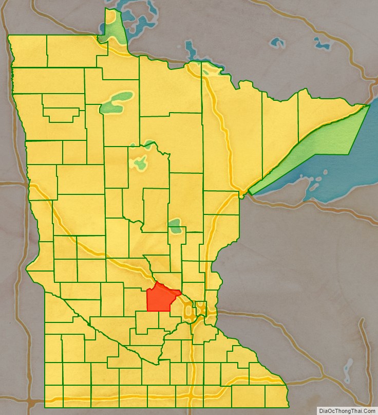
Wright County is a county in the East Central part of the U.S. state of Minnesota. As of the 2020 census, the population was 141,337. Its county seat is Buffalo. The county was founded in 1855. Wright County is part of the Minneapolis–St. Paul–Bloomington, MN-WI Metropolitan Statistical Area. In terms of population, Wright County is the tenth-largest county in Minnesota and the second-fastest growing.
| Name: | Wright County |
|---|---|
| FIPS code: | 27-171 |
| State: | Minnesota |
| Founded: | February 20, 1855 |
| Named for: | Silas Wright |
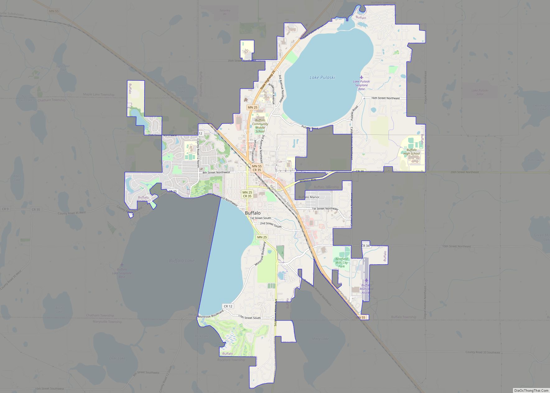
| Seat: | Buffalo |
| Largest city: | Otsego |
| Total Area: | 714 sq mi (1,850 km²) |
| Land Area: | 661 sq mi (1,710 km²) |
| Total Population: | 141,337 |
| Population Density: | 213.8/sq mi (82.5/km²) |
| Time zone: | UTC−6 (Central) |
| Summer Time Zone (DST): | UTC−5 (CDT) |
| Website: | www.co.wright.mn.us |
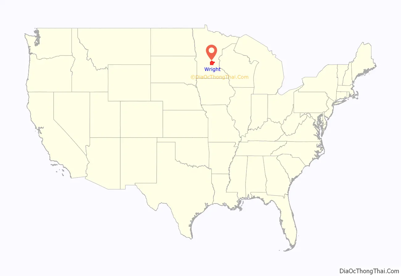
Wright County location map. Where is Wright County?
History
The county was established in 1855, and was named for New York politician Silas Wright. The first county seat was Monticello; in 1868 the county seat was changed to Buffalo. Most of the area’s first settlers were of German and Swedish origin. The county’s population in 1860 was 3,729; in 1875, it was 13,775.
The 1998 thriller A Simple Plan was set in Wright County, though it does not mention a specific town.
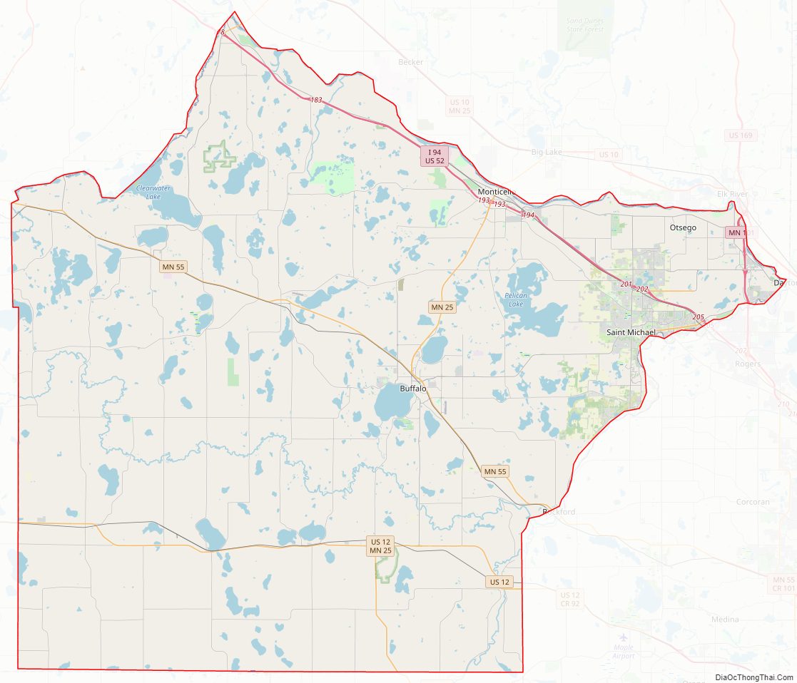
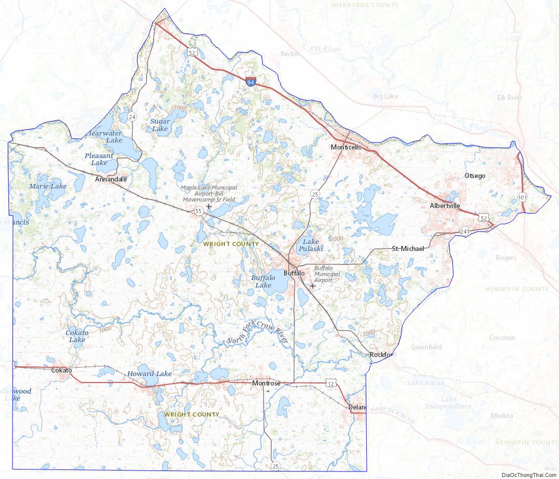
Wright County Road Map

Geography
According to the United States Census Bureau, the county has an area of 714 square miles (1,850 km), of which 661 square miles (1,710 km) is land and 53 square miles (140 km) (7.4%) is water. The terrain is undulating and contains numerous small lakes. The county is bounded on the northeast by the Mississippi River. Wright is one of 17 Minnesota savanna region counties with more savanna soils than either prairie or forest soils, and one of only two Minnesota counties where savanna soils make up more than 75% of the county area (the other is Hennepin County).
Major highways
- Interstate 94
- U.S. Highway 12
- U.S. Highway 52 (runs hidden with I-94)
- Minnesota State Highway 24
- Minnesota State Highway 25
- Minnesota State Highway 55
- Minnesota State Highway 101
- Minnesota State Highway 241
Adjacent counties
- Sherburne County – northeast
- Hennepin County – east
- Carver County – southeast
- McLeod County – southwest
- Meeker County – west
- Stearns County – northwest
- Anoka County – northeast
Wright County Topographic Map
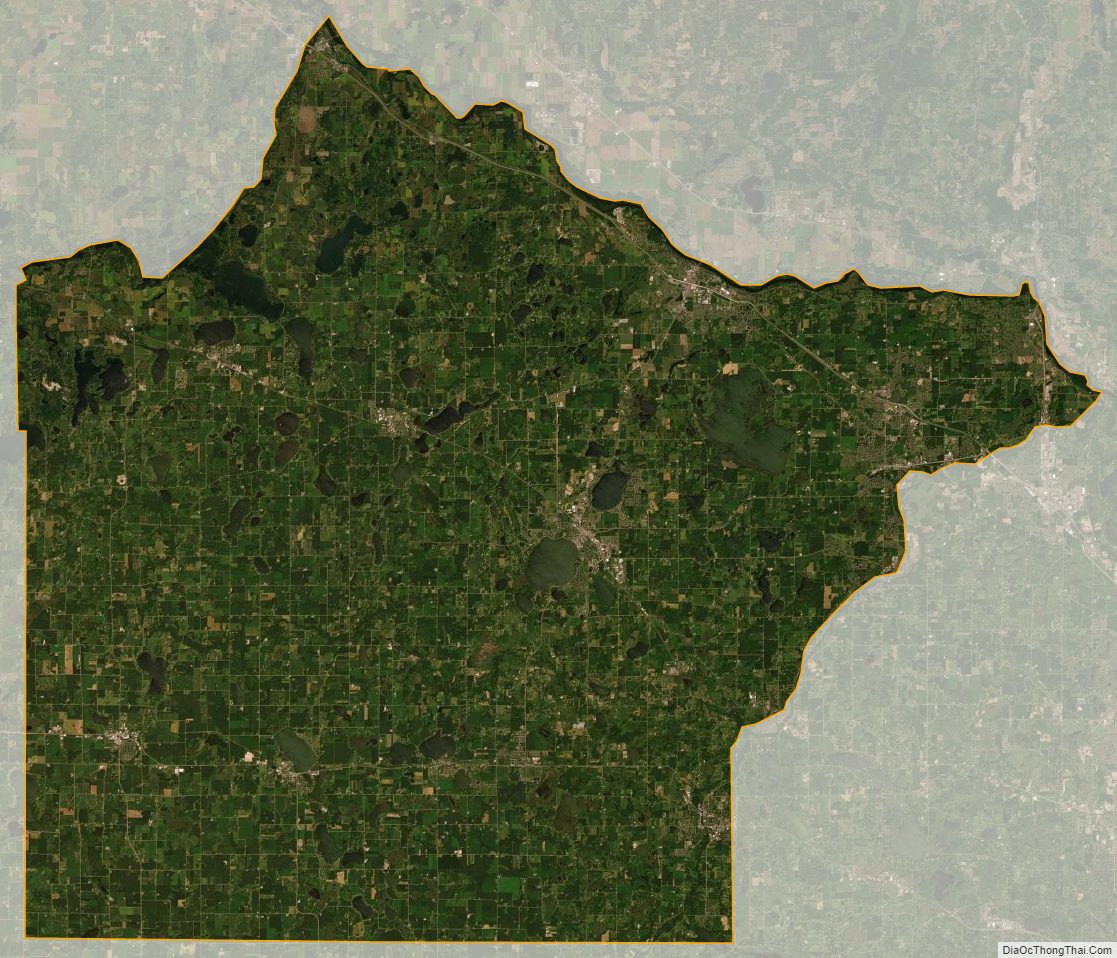
Wright County Satellite Map
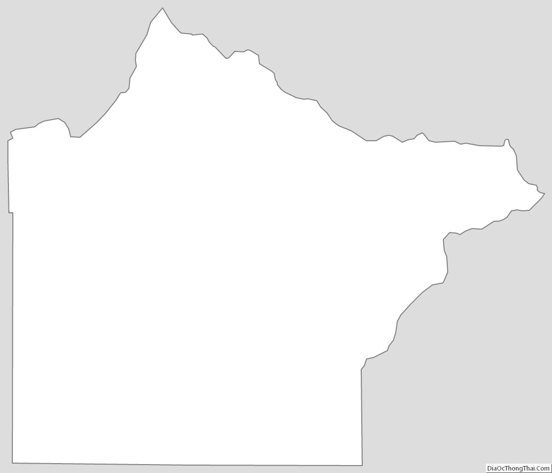
Wright County Outline Map