Henderson is a city and the county seat of Rusk County, Texas, in Northeast Texas. Its population was 13,271 at the 2020 census. Henderson is named for James Pinckney Henderson, the first governor of Texas.
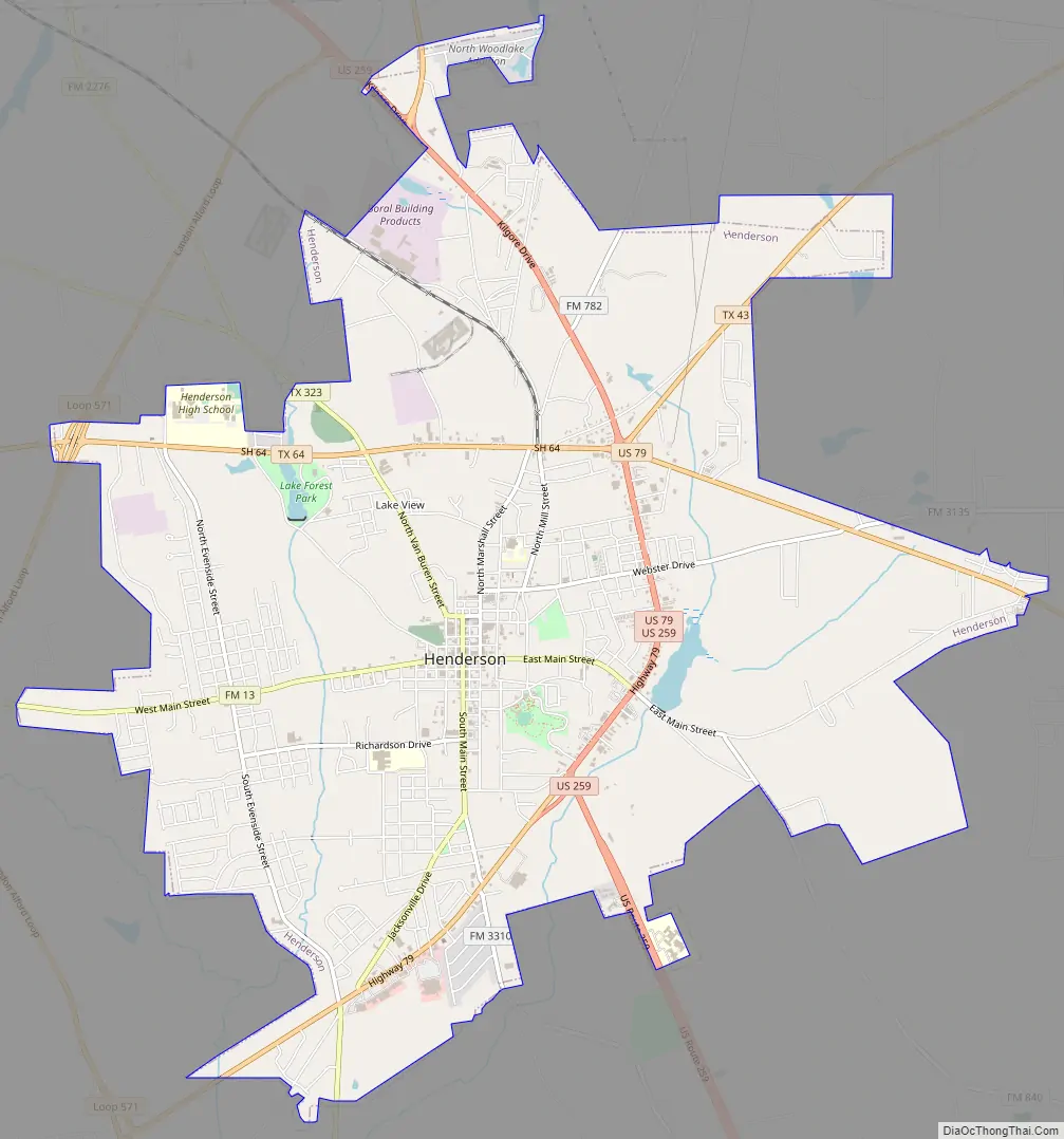
The city has functioned as a major crossroads in Northeast Texas over the last two centuries. Several major highways pass through the business district of the town, including U.S. Route 259, Texas State Highway 64, U.S. Route 79, Texas State Highway 43, Texas State Highway 42, and Texas State Highway 64.
Annual events in the city of Henderson include the Heritage Syrup Festival in November, celebrating the East Texas tradition of syrup making, and the East Texas Sacred Harp Convention in August featuring shape note music.
The city has a vibrant downtown historic district, with many buildings dating to before the American Civil War. The city has 19 historical markers, including homes dating from the 1880s, churches, and colleges.
| Name: | Henderson city |
|---|---|
| LSAD Code: | 25 |
| LSAD Description: | city (suffix) |
| State: | Texas |
| County: | Rusk County |
| Elevation: | 512 ft (156 m) |
| Total Area: | 12.04 sq mi (31.19 km²) |
| Land Area: | 11.95 sq mi (30.95 km²) |
| Water Area: | 0.09 sq mi (0.23 km²) |
| Total Population: | 13,271 |
| Population Density: | 1,100.66/sq mi (424.97/km²) |
| ZIP code: | 75652-75654 |
| Area code: | 903/430 |
| FIPS code: | 4833212 |
| GNISfeature ID: | 1337593 |
| Website: | hendersontx.us |
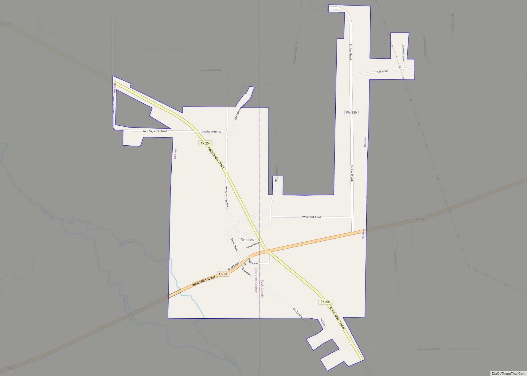
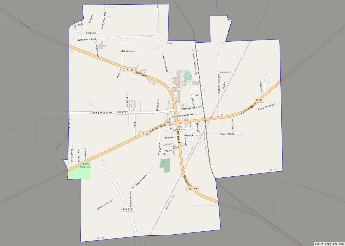
Online Interactive Map
Click on ![]() to view map in "full screen" mode.
to view map in "full screen" mode.
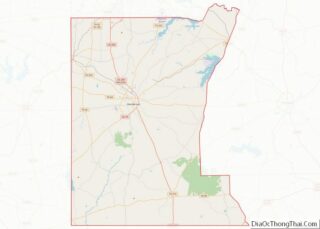
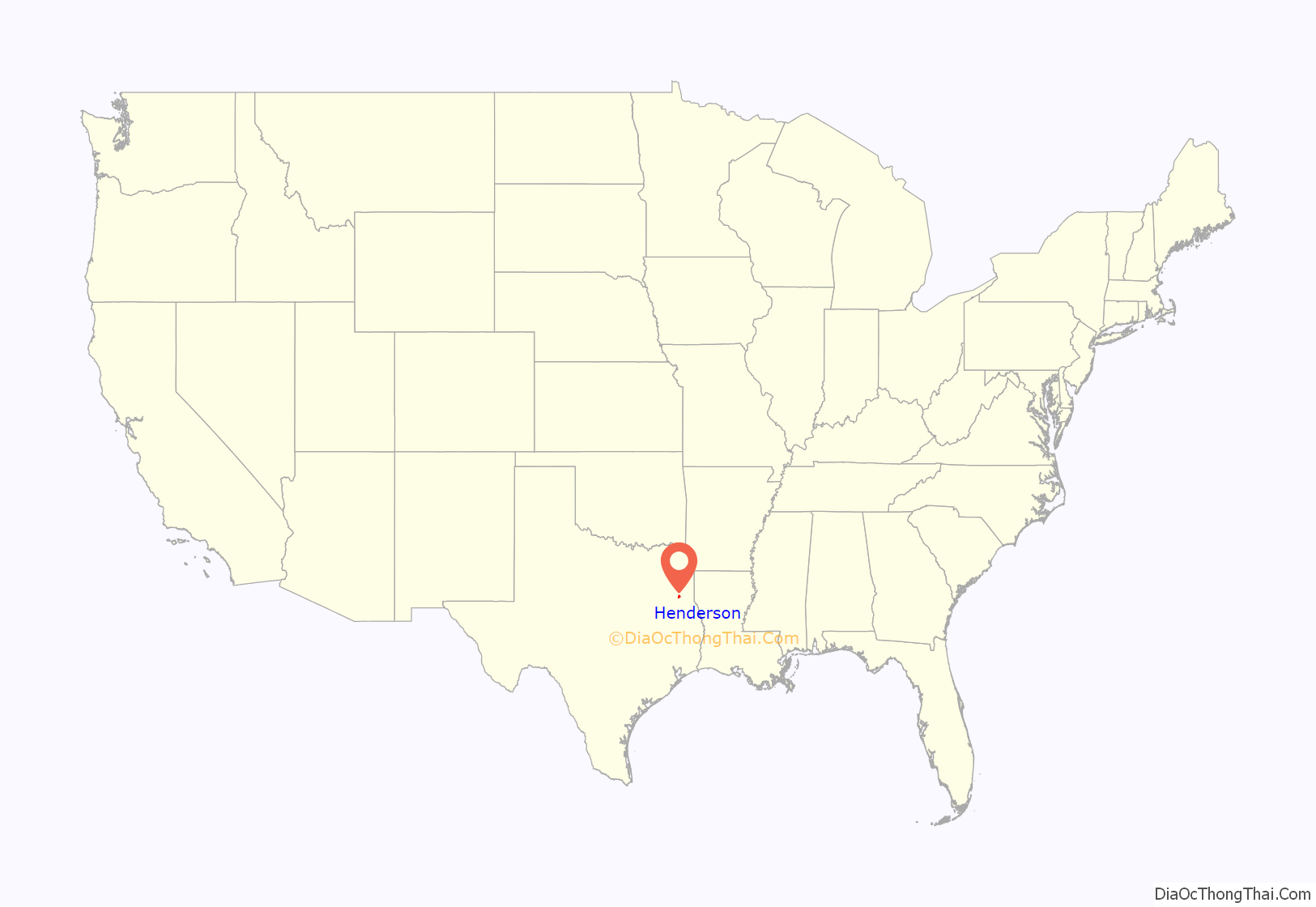
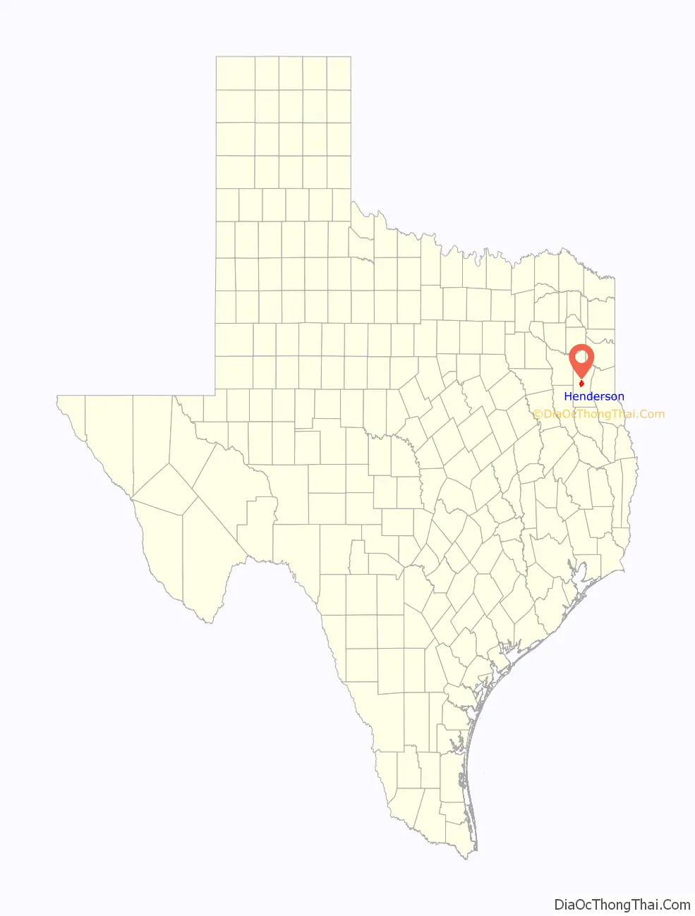
Henderson location map. Where is Henderson city?
History
The city of Henderson was established by European Americans before the State of Texas was founded. It was developed on land donated by W.B. Ochiltree and James Smith; it became the county seat of Rusk County when an act of legislature created Rusk County on January 16, 1843. The First Methodist and First Baptist churches were established in 1842 and 1845, respectively. The first courthouse, made of wood, was completed in 1849. After the Civil War, the International and Great Northern Railroad crossed through Rusk County, but bypassed Henderson. In 1869, A white mob lynched five Black men, including two preachers, in the public square outside the courthouse without trial. In 1874, the Henderson and Overton Branch Railroad Company built a stretch of railroad connecting Henderson to the tracks running through Overton. This stretch of railroad was later sold to the Missouri Pacific Railroad (now Union Pacific) and remains in use to this day.
In 1878, a fire destroyed the courthouse, and a brick courthouse was built in its place. This encouraged the construction of several other brick buildings, including the Howard Dickinson House, now a historical site.
In 1930, C. M. “Dad” Joiner brought in the Daisy Bradford #3 Discovery Well 6 miles northwest of Henderson. The discovery of oil in October 1930 created a booming economy in the area, with the population of Henderson increasing from 2,000 to over 10,000 in a few months. The oil fields in and surrounding Henderson, part of the high-producing five-county East Texas Oil Field, continue to provide a large part of the wealth of the town, county, and region.
During World War II, airmen cadets from the Royal Air Force, flying from their training base at Terrell, Texas, routinely flew to Henderson on training flights. The community served as a stand-in for the British for Dunkirk, France, which is the same distance from London, England as Henderson is from Terrell.
1860 Henderson fire
On August 5, 1860, a fire broke out and burned most of the booming town of Henderson. Forty-three buildings, including two hotels, were destroyed in the fire, for a loss of $220,000.
According to the Depot Museum, a man named John Crow recalled the fire as follows:
John Crow was John Stephen Crow, born in Henderson, TX on 5 Mar 1852 and died there on 19 Oct 1952. He is buried at Maple Grove Cemetery. His father, Moses Melton Crow, was part of a large group of family, friends and neighbors who left the area of Henry and Clayton Co, GA and were early settlers in Rusk Co. The surnames of these early settlers include Burks, Cates, Crow, Mitchell and others.
2015 Henderson Tornado
On Memorial Day, May 25, 2015, an EF-2 rated tornado struck Henderson. That day, multiple tornadoes had struck other areas in Texas, Arkansas, and Oklahoma. The tornado uprooted trees, damaged buildings, and caused minor damage to areas such as downtown, but no severe damage was recorded.
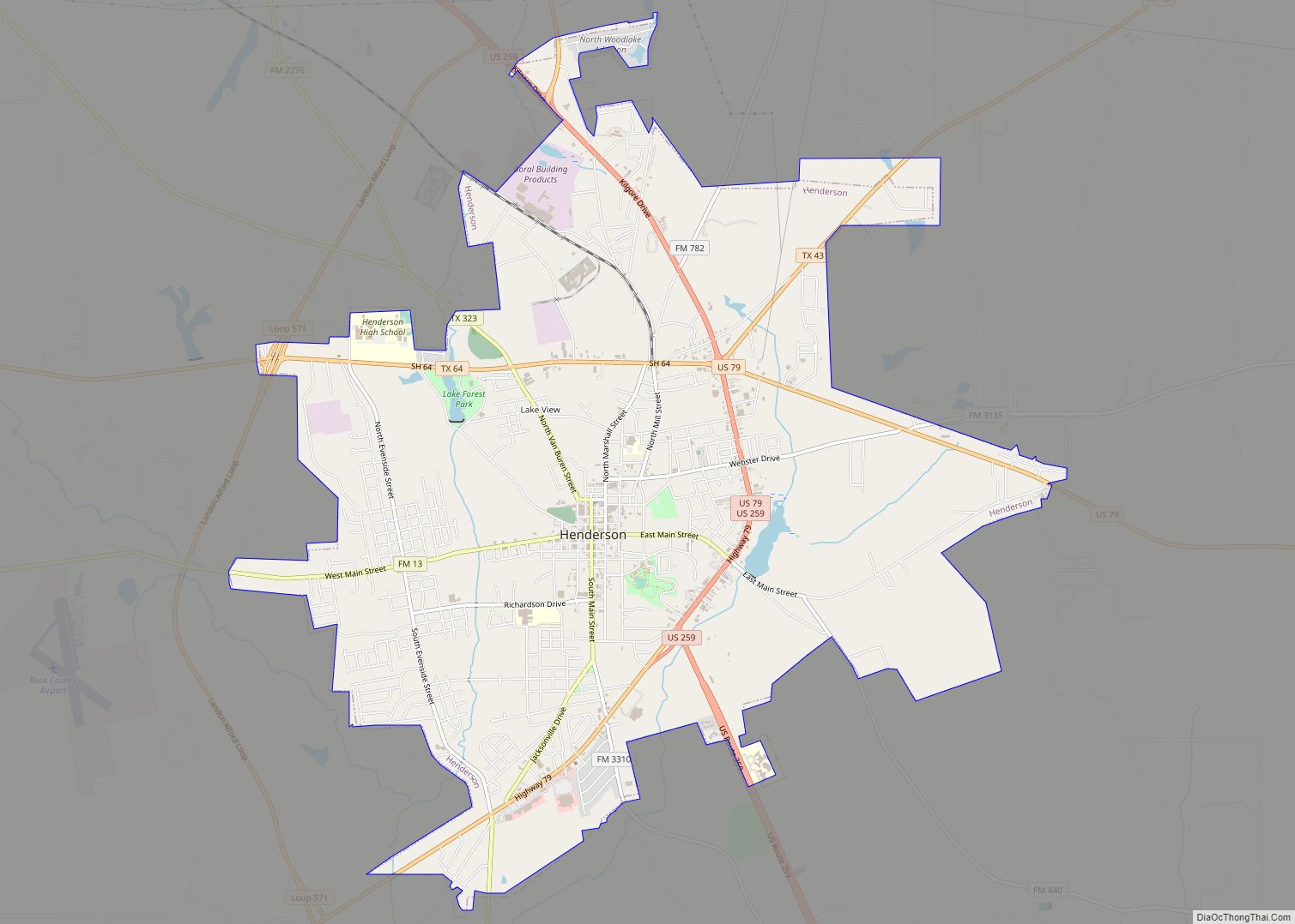
Henderson Road Map
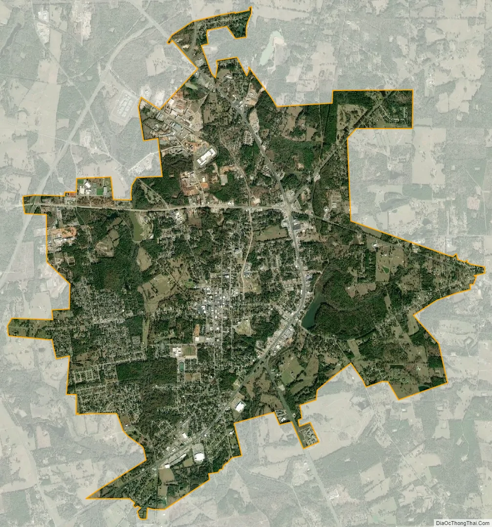
Henderson city Satellite Map
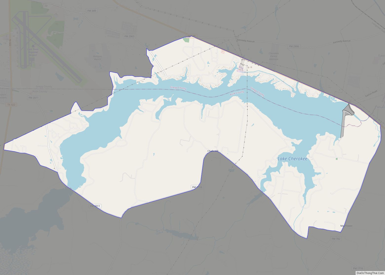
Geography
Henderson is located at 32°9′14″N 94°48′10″W / 32.15389°N 94.80278°W / 32.15389; -94.80278 (32.153938, −94.802732).
According to the United States Census Bureau, the city has a total area of 12.0 square miles (31 km), of which, 0.1 square miles (0.26 km) of it (0.92%) is covered by water.
See also
Map of Texas State and its subdivision:- Anderson
- Andrews
- Angelina
- Aransas
- Archer
- Armstrong
- Atascosa
- Austin
- Bailey
- Bandera
- Bastrop
- Baylor
- Bee
- Bell
- Bexar
- Blanco
- Borden
- Bosque
- Bowie
- Brazoria
- Brazos
- Brewster
- Briscoe
- Brooks
- Brown
- Burleson
- Burnet
- Caldwell
- Calhoun
- Callahan
- Cameron
- Camp
- Carson
- Cass
- Castro
- Chambers
- Cherokee
- Childress
- Clay
- Cochran
- Coke
- Coleman
- Collin
- Collingsworth
- Colorado
- Comal
- Comanche
- Concho
- Cooke
- Coryell
- Cottle
- Crane
- Crockett
- Crosby
- Culberson
- Dallam
- Dallas
- Dawson
- Deaf Smith
- Delta
- Denton
- Dewitt
- Dickens
- Dimmit
- Donley
- Duval
- Eastland
- Ector
- Edwards
- El Paso
- Ellis
- Erath
- Falls
- Fannin
- Fayette
- Fisher
- Floyd
- Foard
- Fort Bend
- Franklin
- Freestone
- Frio
- Gaines
- Galveston
- Garza
- Gillespie
- Glasscock
- Goliad
- Gonzales
- Gray
- Grayson
- Gregg
- Grimes
- Guadalupe
- Hale
- Hall
- Hamilton
- Hansford
- Hardeman
- Hardin
- Harris
- Harrison
- Hartley
- Haskell
- Hays
- Hemphill
- Henderson
- Hidalgo
- Hill
- Hockley
- Hood
- Hopkins
- Houston
- Howard
- Hudspeth
- Hunt
- Hutchinson
- Irion
- Jack
- Jackson
- Jasper
- Jeff Davis
- Jefferson
- Jim Hogg
- Jim Wells
- Johnson
- Jones
- Karnes
- Kaufman
- Kendall
- Kenedy
- Kent
- Kerr
- Kimble
- King
- Kinney
- Kleberg
- Knox
- La Salle
- Lamar
- Lamb
- Lampasas
- Lavaca
- Lee
- Leon
- Liberty
- Limestone
- Lipscomb
- Live Oak
- Llano
- Loving
- Lubbock
- Lynn
- Madison
- Marion
- Martin
- Mason
- Matagorda
- Maverick
- McCulloch
- McLennan
- McMullen
- Medina
- Menard
- Midland
- Milam
- Mills
- Mitchell
- Montague
- Montgomery
- Moore
- Morris
- Motley
- Nacogdoches
- Navarro
- Newton
- Nolan
- Nueces
- Ochiltree
- Oldham
- Orange
- Palo Pinto
- Panola
- Parker
- Parmer
- Pecos
- Polk
- Potter
- Presidio
- Rains
- Randall
- Reagan
- Real
- Red River
- Reeves
- Refugio
- Roberts
- Robertson
- Rockwall
- Runnels
- Rusk
- Sabine
- San Augustine
- San Jacinto
- San Patricio
- San Saba
- Schleicher
- Scurry
- Shackelford
- Shelby
- Sherman
- Smith
- Somervell
- Starr
- Stephens
- Sterling
- Stonewall
- Sutton
- Swisher
- Tarrant
- Taylor
- Terrell
- Terry
- Throckmorton
- Titus
- Tom Green
- Travis
- Trinity
- Tyler
- Upshur
- Upton
- Uvalde
- Val Verde
- Van Zandt
- Victoria
- Walker
- Waller
- Ward
- Washington
- Webb
- Wharton
- Wheeler
- Wichita
- Wilbarger
- Willacy
- Williamson
- Wilson
- Winkler
- Wise
- Wood
- Yoakum
- Young
- Zapata
- Zavala
- Alabama
- Alaska
- Arizona
- Arkansas
- California
- Colorado
- Connecticut
- Delaware
- District of Columbia
- Florida
- Georgia
- Hawaii
- Idaho
- Illinois
- Indiana
- Iowa
- Kansas
- Kentucky
- Louisiana
- Maine
- Maryland
- Massachusetts
- Michigan
- Minnesota
- Mississippi
- Missouri
- Montana
- Nebraska
- Nevada
- New Hampshire
- New Jersey
- New Mexico
- New York
- North Carolina
- North Dakota
- Ohio
- Oklahoma
- Oregon
- Pennsylvania
- Rhode Island
- South Carolina
- South Dakota
- Tennessee
- Texas
- Utah
- Vermont
- Virginia
- Washington
- West Virginia
- Wisconsin
- Wyoming