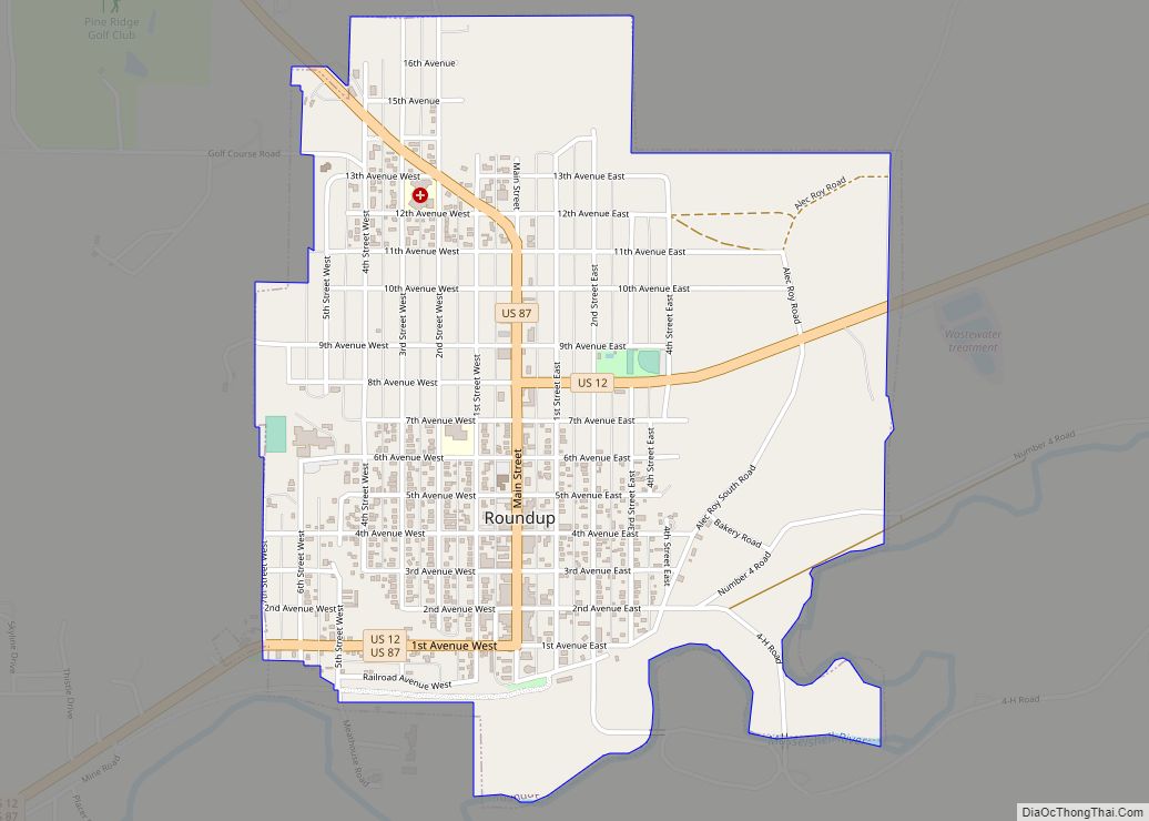
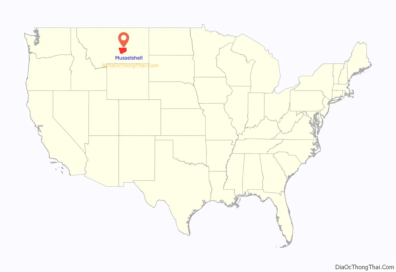
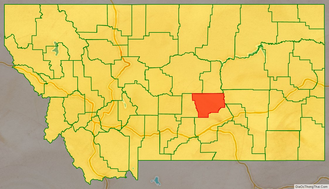
Musselshell County is a county in south-central Montana. As of the 2020 census, the population was 4,730. Its county seat is Roundup.
| Name: | Musselshell County |
|---|---|
| FIPS code: | 30-065 |
| State: | Montana |
| Founded: | February 2, 1911 |
| Seat: | Roundup |
| Largest city: | Roundup |
| Total Area: | 1,871 sq mi (4,850 km²) |
| Land Area: | 1,868 sq mi (4,840 km²) |
| Total Population: | 4,730 |
| Population Density: | 2.5/sq mi (0.98/km²) |
| Time zone: | UTC−7 (Mountain) |
| Summer Time Zone (DST): | UTC−6 (MDT) |
| Website: | musselshellcounty.org |
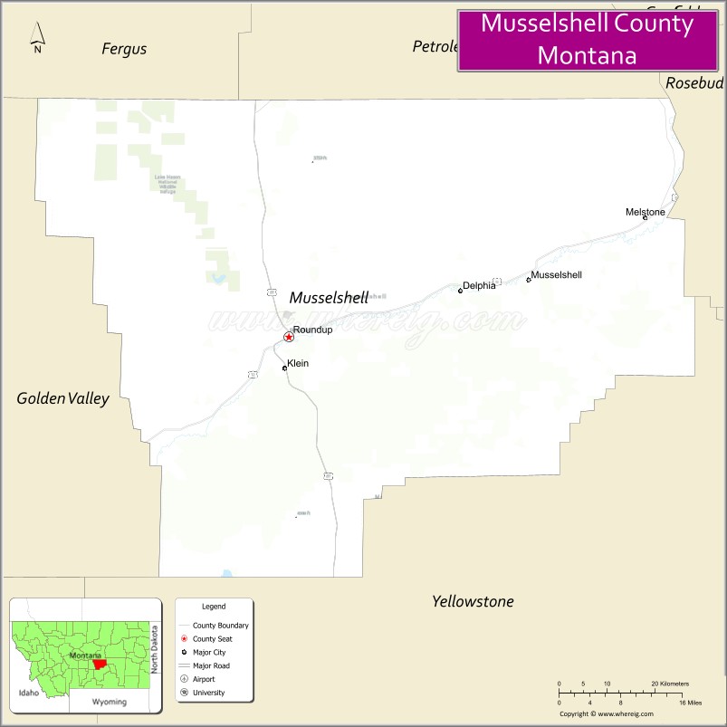
Musselshell County location map. Where is Musselshell County?
History
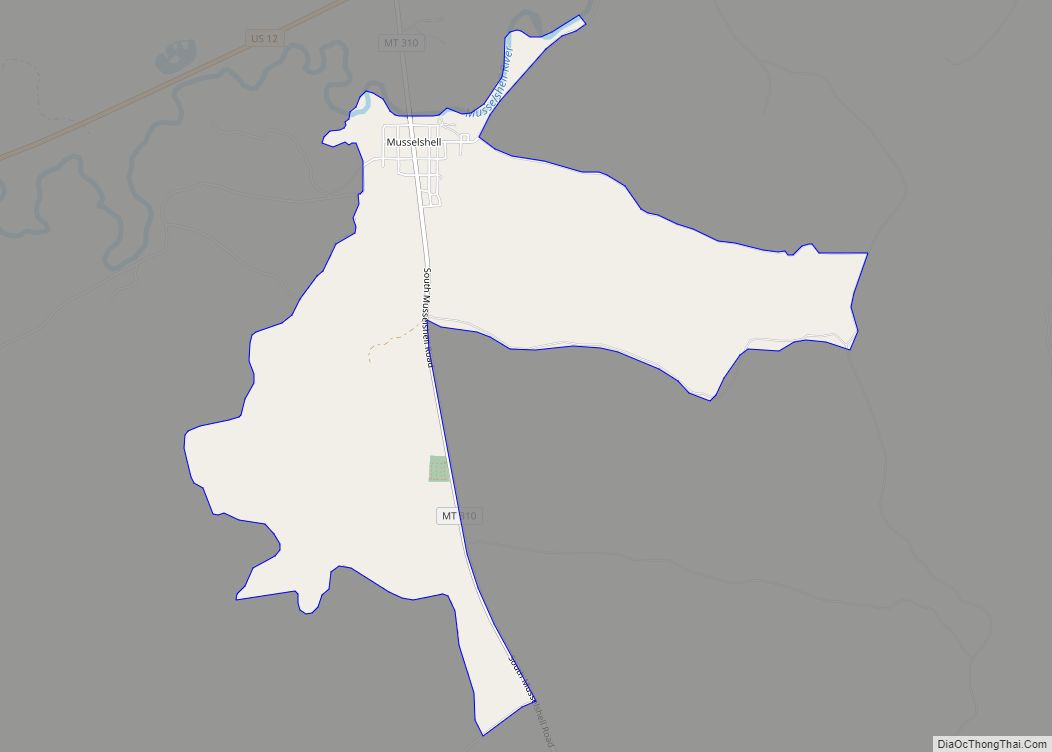
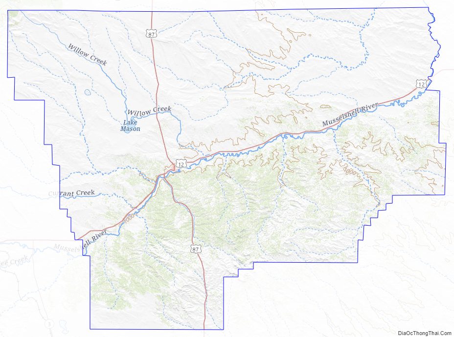
Musselshell County was created in 1911 by Montana Governor Edwin L. Norris. The area was taken from Fergus, from Yellowstone, and Meagher counties. It was named for the Musselshell River which runs southwest–northeast through the county. That river had been thus named in 1805 by the Lewis and Clark Expedition, due to the abundance of freshwater mussels found along its banks. In 1915, a western portion of the county was partitioned off to form Golden Valley County, giving Musselshell County its present boundaries.
The county’s northwestern area is rolling grasslands, which slope southeastward to the Musselshell River and the forested Bull Mountains in the southeast. The county has abundant natural resources of coal deposits, subterranean oil, and timbered slopes.
Musselshell County Road Map
Geography
According to the United States Census Bureau, the county has a total area of 1,863.91 square miles (4,827.5 km), of which 1,861.16 square miles (4,820.4 km) is land and 2.75 square miles (7.1 km) (0.1%) is water.
Major highways
- U.S. Highway 12
- U.S. Highway 87
Adjacent counties
- Fergus County – northwest
- Petroleum County – north
- Rosebud County – east
- Yellowstone County – south
- Golden Valley County – west
National protected area
- Lake Mason National Wildlife Refuge
Musselshell County Topographic Map
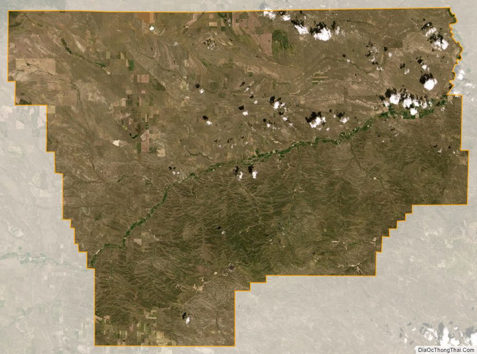
Musselshell County Satellite Map
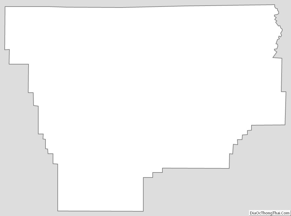
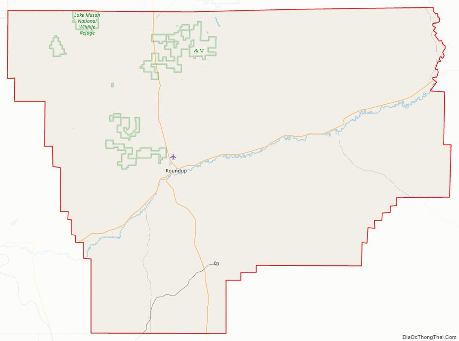
Musselshell County Outline Map