Roundup is a city in and the county seat of Musselshell County, Montana, United States. The population was 1,742 during the 2020 census.
| Name: | Roundup city |
|---|---|
| LSAD Code: | 25 |
| LSAD Description: | city (suffix) |
| State: | Montana |
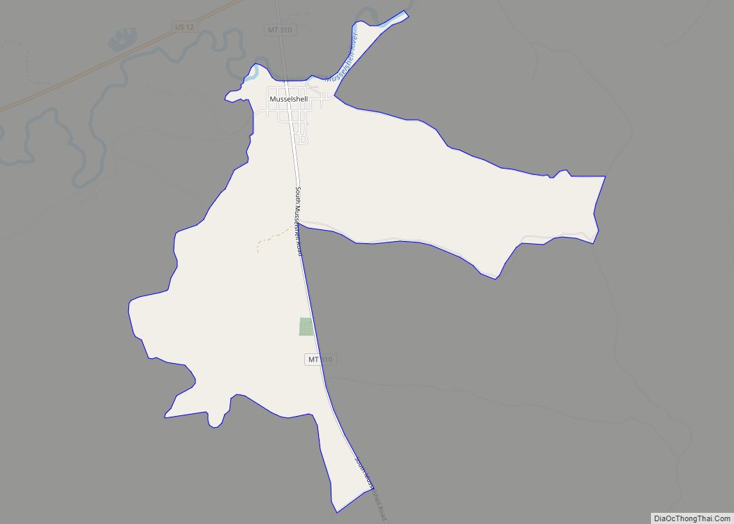
| County: | Musselshell County |
| Elevation: | 3,215 ft (980 m) |
| Total Area: | 1.29 sq mi (3.35 km²) |
| Land Area: | 1.29 sq mi (3.35 km²) |
| Water Area: | 0.00 sq mi (0.00 km²) |
| Total Population: | 1,742 |
| Population Density: | 1,347.25/sq mi (520.10/km²) |
| ZIP code: | 59072-59073 |
| Area code: | 406 |
| FIPS code: | 3064525 |
| GNISfeature ID: | 0778772 |
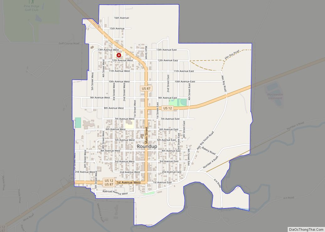
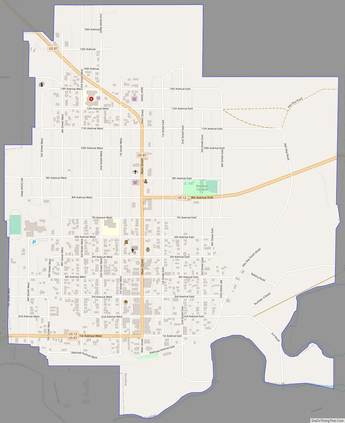
Online Interactive Map
Click on ![]() to view map in "full screen" mode.
to view map in "full screen" mode.
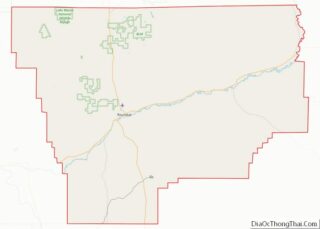
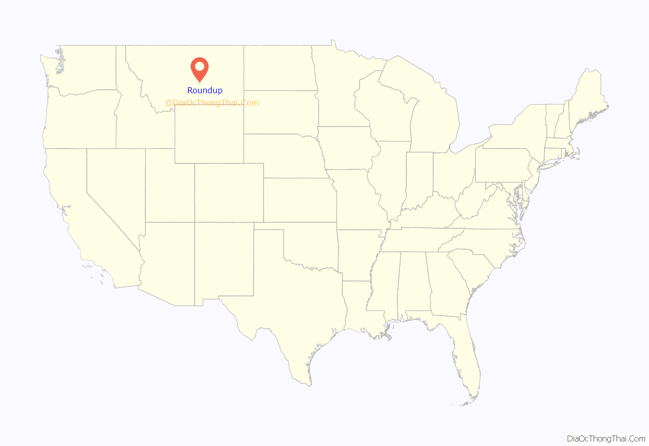
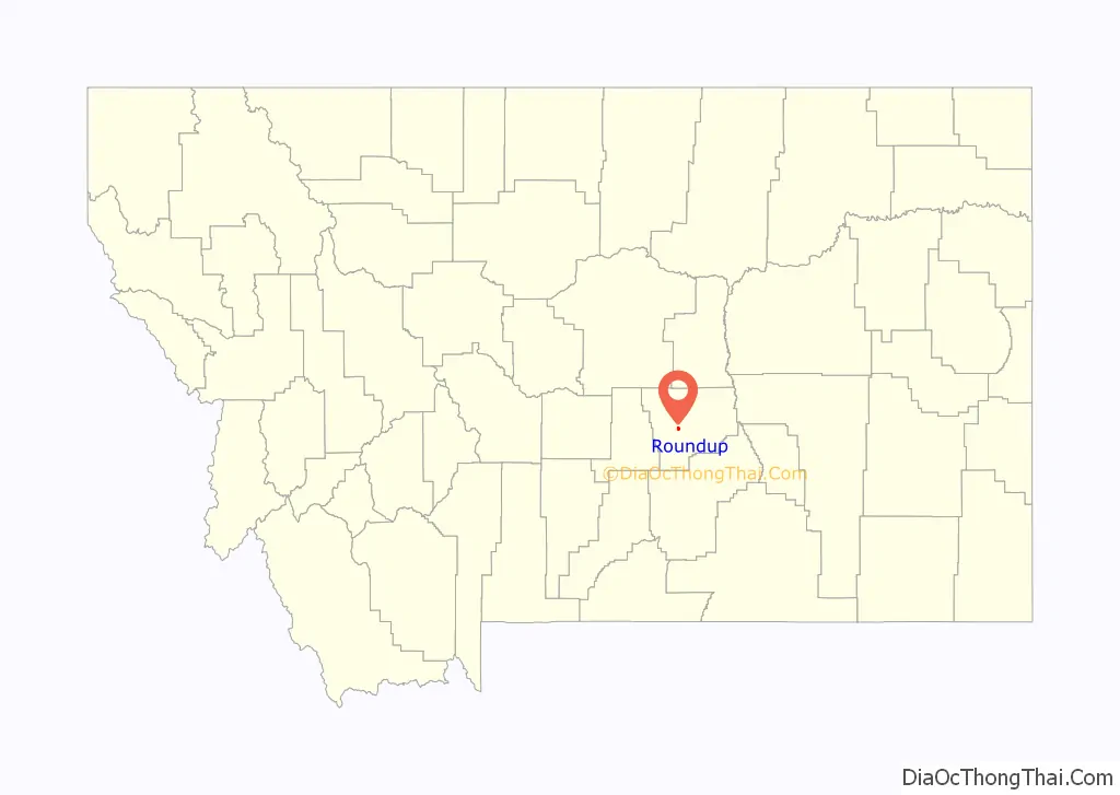
Roundup location map. Where is Roundup city?
History
Roundup served as a place for cattlemen to “round up” their cattle along the Musselshell River. It was the trailhead in the Great Montana Centennial Cattle Drive and now drives happen annually.
The post office opened in 1883. In 1907, the Milwaukee Road reached Roundup.
The area has coal mines, which combined with the agriculture, maintained the economy of the town. The Musselshell Valley Historical Museum captures the coal history as well as fossils and Indian artifacts.
From Hell to Breakfast in Old Montana, by Leland Blanchard, tells the story of pioneers who lived and worked in Roundup in the early 1900s.
Roundup is a hub in Amazon.com’s supply chain with a growing industry of prep centers, or businesses that specialize in packing goods to meet the requirements of Amazon’s highly automated warehouses.
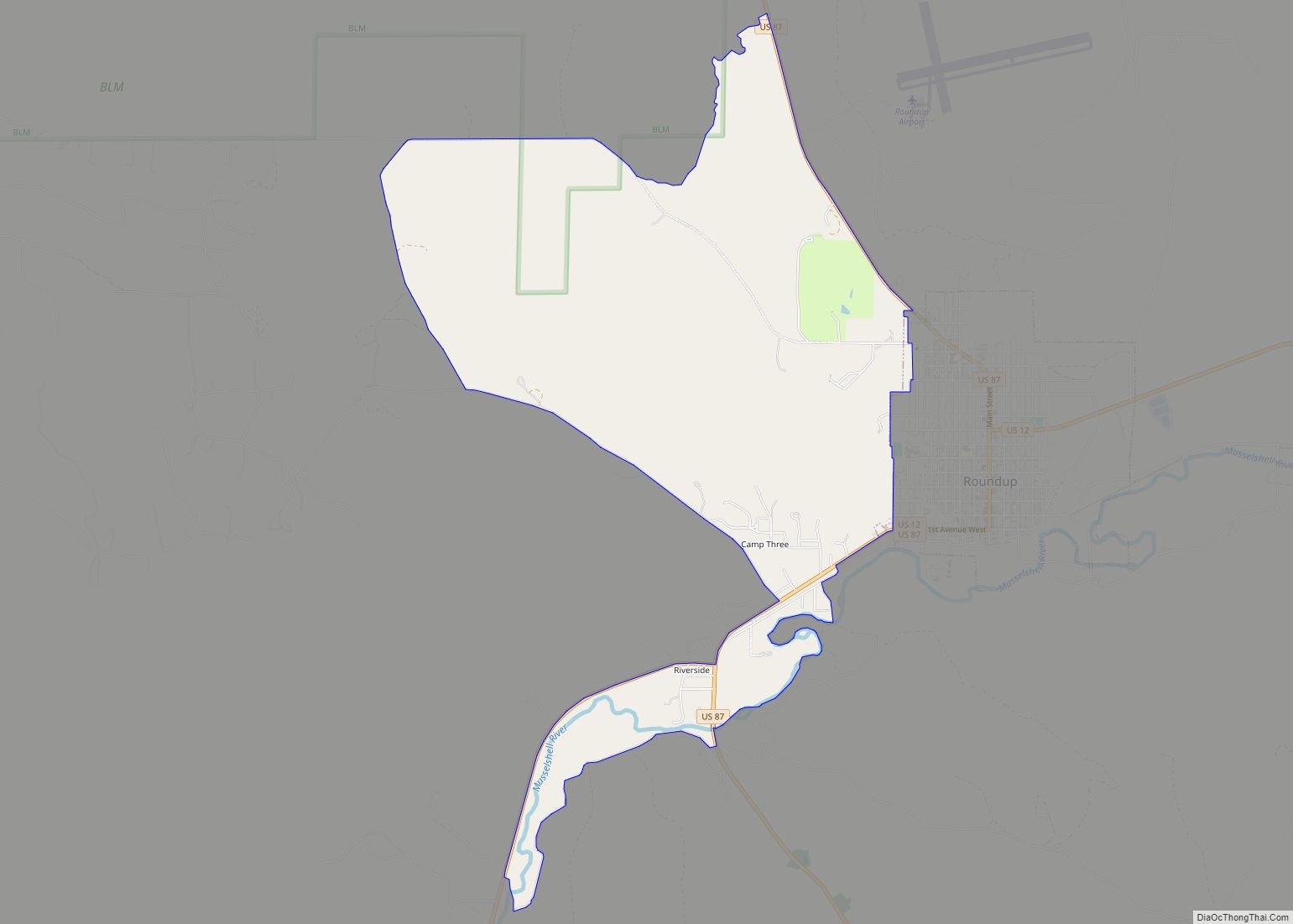
Roundup Road Map
Roundup city Satellite Map

Geography
Roundup is located at 46°26′54″N 108°32′34″W / 46.44833°N 108.54278°W / 46.44833; -108.54278 (46.448401, -108.542676). According to the United States Census Bureau, the city has a total area of 1.34 square miles (3.47 km), all land.
The Musselshell River runs through the city. Roundup is bordered to the south by the Bull Mountains which rise from the great plains over a hundred miles east of the front range of the Rocky Mountains.
According to the Köppen Climate Classification system, Roundup has a cold semi-arid climate, abbreviated “BSk” on climate maps.
See also
Map of Montana State and its subdivision:- Beaverhead
- Big Horn
- Blaine
- Broadwater
- Carbon
- Carter
- Cascade
- Chouteau
- Custer
- Daniels
- Dawson
- Deer Lodge
- Fallon
- Fergus
- Flathead
- Gallatin
- Garfield
- Glacier
- Golden Valley
- Granite
- Hill
- Jefferson
- Judith Basin
- Lake
- Lewis and Clark
- Liberty
- Lincoln
- Madison
- McCone
- Meagher
- Mineral
- Missoula
- Musselshell
- Park
- Petroleum
- Phillips
- Pondera
- Powder River
- Powell
- Prairie
- Ravalli
- Richland
- Roosevelt
- Rosebud
- Sanders
- Sheridan
- Silver Bow
- Stillwater
- Sweet Grass
- Teton
- Toole
- Treasure
- Valley
- Wheatland
- Wibaux
- Yellowstone
- Alabama
- Alaska
- Arizona
- Arkansas
- California
- Colorado
- Connecticut
- Delaware
- District of Columbia
- Florida
- Georgia
- Hawaii
- Idaho
- Illinois
- Indiana
- Iowa
- Kansas
- Kentucky
- Louisiana
- Maine
- Maryland
- Massachusetts
- Michigan
- Minnesota
- Mississippi
- Missouri
- Montana
- Nebraska
- Nevada
- New Hampshire
- New Jersey
- New Mexico
- New York
- North Carolina
- North Dakota
- Ohio
- Oklahoma
- Oregon
- Pennsylvania
- Rhode Island
- South Carolina
- South Dakota
- Tennessee
- Texas
- Utah
- Vermont
- Virginia
- Washington
- West Virginia
- Wisconsin
- Wyoming