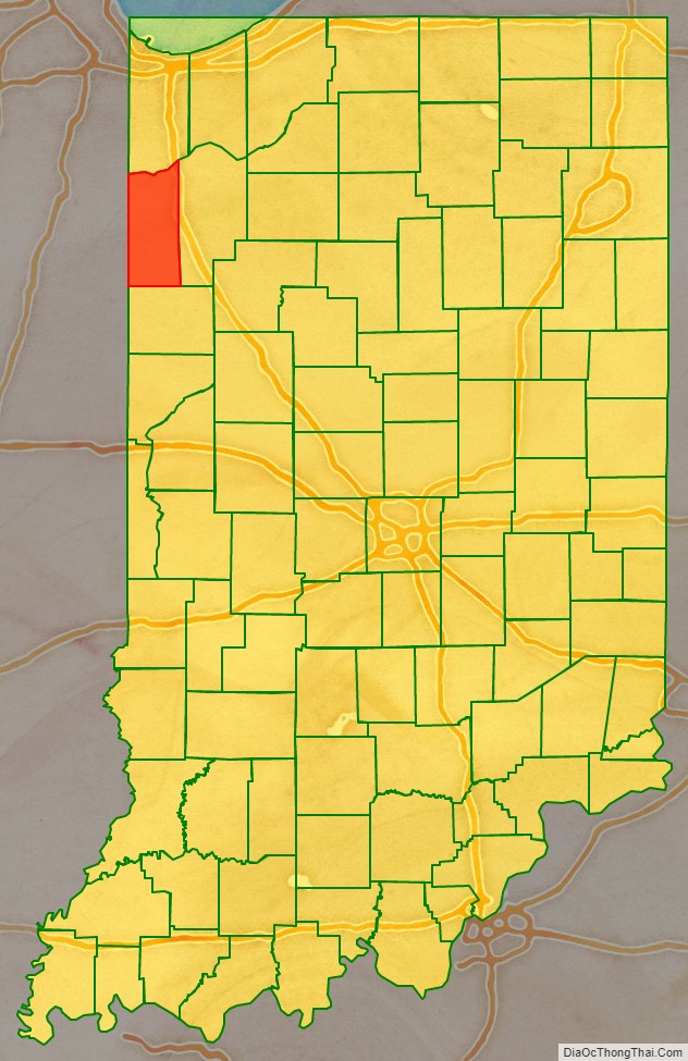
Newton County is a county located near the northwestern corner of the U.S. state of Indiana. As of 2010, the population was 14,244. This county is part of Northwest Indiana as well as the Chicago metropolitan area. The county seat is Kentland. The county is divided into 10 townships which provide local services.
| Name: | Newton County |
|---|---|
| FIPS code: | 18-111 |
| State: | Indiana |
| Named for: | Sgt. John Newton |
| Largest town: | Kentland (population and total area) |
| Land Area: | 401.76 sq mi (1,040.6 km²) |
| Population Density: | 35.5/sq mi (13.7/km²) |
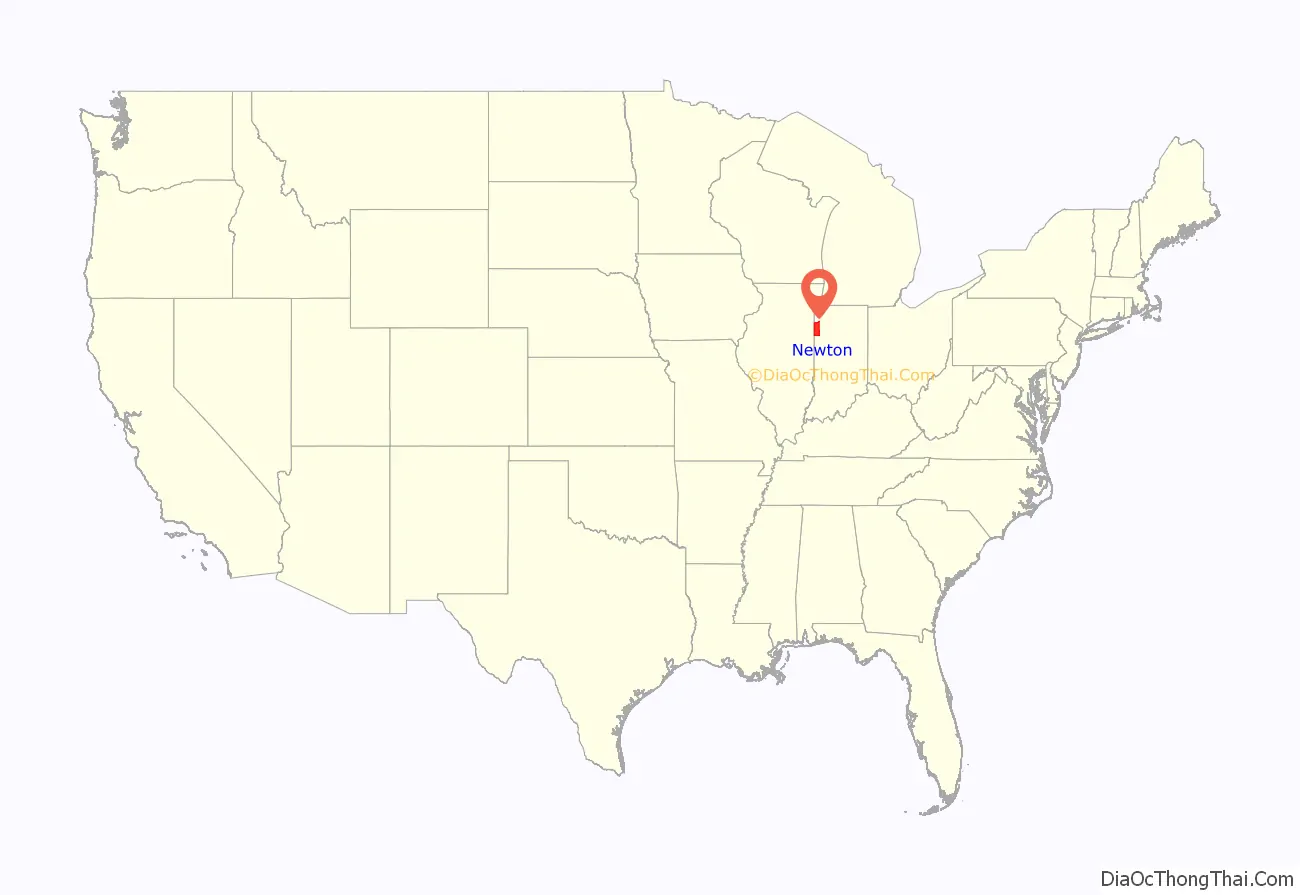
Newton County location map. Where is Newton County?
History
The original Newton County was formed by statute on February 7, 1835, and was a roughly square area some 30 miles on a side, encompassing what is now the northern half of the county, the northern half of Jasper County, and a large section to the north. The northern border was cut back to the Kankakee River on February 1, 1836, with all land north of the Kankakee River going to Lake and Porter counties. The county was abolished and combined with Jasper County in 1839. On December 8, 1859, the county was re-created and the borders were redrawn to essentially their current state.
Newton County is named after Sgt. John Newton, who served under Gen. Francis Marion (the “Swamp Fox”) in the American Revolutionary War. It is adjacent to Jasper County, which was named after Sgt. William Jasper, whose story is similar. At least four other states, Georgia, Mississippi, Missouri and Texas, have adjacent Jasper and Newton Counties, as though these two were remembered as a pair.
Upon its re-creation, Newton County was the last of Indiana’s 92 counties to be organized.
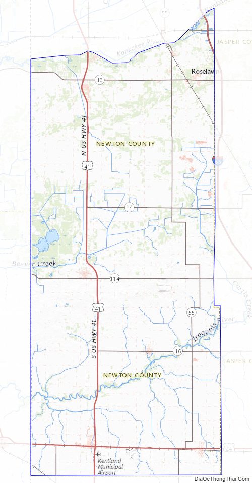
Newton County Road Map
Geography
According to the 2010 census, the county has a total area of 403.44 square miles (1,044.9 km), of which 401.76 square miles (1,040.6 km) (or 99.58%) is land and 1.68 square miles (4.4 km) (or 0.42%) is water.
Newton County is the site of the Kentland crater, a probable meteorite impact crater located between Kentland and Goodland.
J.C. Murphy Lake is at the center of Willow Slough Fish and Wildlife Area.
Major highways
- Interstate 65
- U.S. Route 24
- U.S. Route 41
- U.S. Route 52
- State Road 10
- State Road 14
- State Road 16
- State Road 55
- State Road 71
- State Road 114
Railroads
- CSX Transportation
- Toledo, Peoria and Western Railway
Adjacent counties
- Lake County (north)
- Jasper County (east)
- Benton County (south/ET Border)
- Iroquois County, Illinois (west)
- Kankakee County, Illinois (northwest)
Newton County Topographic Map
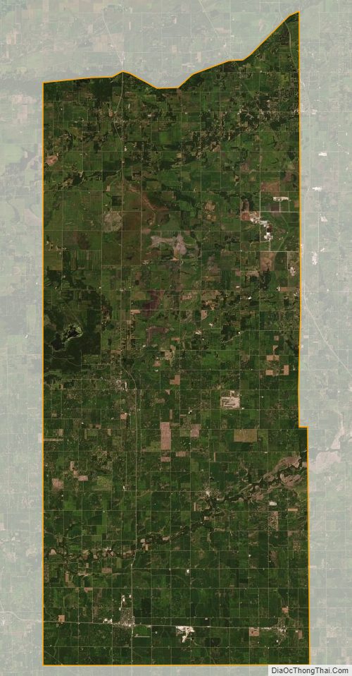
Newton County Satellite Map
Newton County Outline Map